The best walks and hikes around Travo
4.4
(470)
1,695
hikers
67
hikes
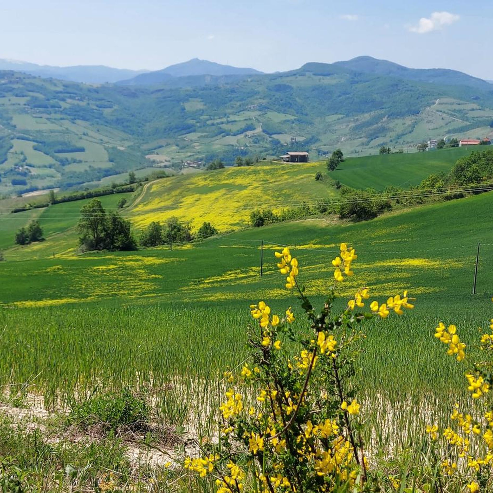
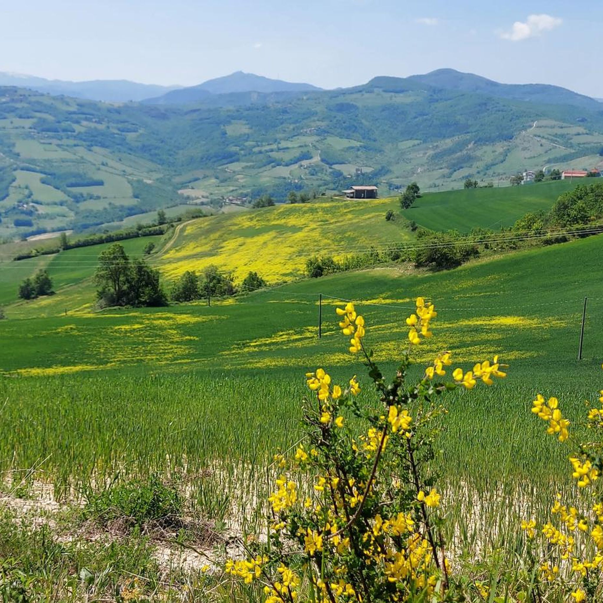
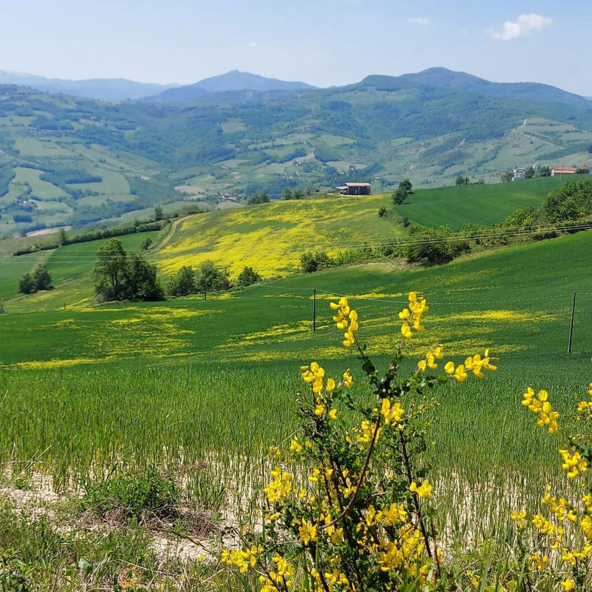
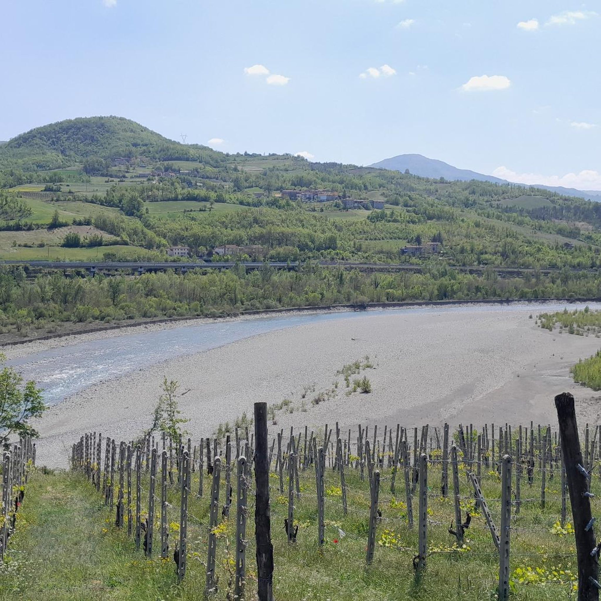
Hiking around Travo offers exploration of the low Trebbia Valley, defined by the Trebbia River and surrounding hills. The landscape features prominent peaks such as Monte Denavolo, which provides expansive views, and distinctive natural rock formations like Pietra Parcellara and Pietra Perduca. These geological features contribute to varied hiking terrain, ranging from riverside paths to elevated trails.
Best hiking trails around Travo
- The most popular hiking route is Travo 8 Trail, a 4.9 miles (7.9 km) trail that takes 2 hours 36 minutes to complete. This moderate route explores the local terrain around Travo.
- Another top favourite among local hikers is Monte Dinavolo and Denavolo Loop from Travo, a moderate 7.1 miles (11.4 km) path. This route ascends to Monte Denavolo, offering panoramic views of the Trebbia and Nure valleys.
- Local hikers also love the Perino - Monte Martini Loop, a 7.3 miles (11.8 km) trail leading through varied landscapes, often completed in about 3 hours 49 minutes.
- Hiking around Travo is defined by the Trebbia Valley, prominent hills, and natural rock formations. The network offers options for various ability levels, from moderate loops to more challenging ascents.
- The routes in Travo are highly rated by the komoot community with an average score of 4.4 stars from over 390 reviews. More than 1500 hikers have used komoot to explore Travo's varied terrain.
Last updated: July 20, 2026
3.2
(33)
63
hikers
7.94km
02:36
380m
380m
Embark on the Travo 8 Trail, a moderate hiking route that guides you through varied terrain, offering a rewarding experience. You'll traverse a dirt road leading towards Monte Pillerone, transitioning to a pleasant gravel path that winds through serene woods. The highlight of your journey will be reaching the Monte Pillerone Summit Cross, where you can pause to admire expansive views of the Italian landscape. This hike covers 4.9 miles (7.9 km) and involves a climb of 1234 feet (376 metres) in elevation, typically taking around 2 hours and 36 minutes to complete.
The trail is situated in the Emilia-Romagna region of Italy, close to the town of Travo. You can typically find parking available at the starting point in Boelli di Sotto, making access straightforward. Before heading out, always check the local conditions, especially the weather, as this can significantly impact your enjoyment and safety on the route.
This route offers a unique opportunity to explore the natural beauty of the Italian countryside, combining physical activity with stunning vistas. The journey to Monte Pillerone provides a clear objective and a memorable reward at its summit. It stands out as a well-rounded option for those looking to experience the region's diverse landscapes on foot.
4.0
(9)
16
hikers
11.4km
03:39
490m
490m
Embark on the Monte Dinavolo and Denavolo Loop from Travo, a moderate hiking adventure that spans 7.1 miles (11.4 km) with an elevation gain of 1596 feet (486 metres). This route typically takes about 3 hours and 39 minutes to complete. You will climb through rolling hills, eventually reaching the summit of Monte Dinavolo, marked by a prominent cross and surrounded by a fresh pine forest. From this peak, you are treated to sweeping 360-degree views of both the Val Trebbia and Val Nure valleys. The trail also offers glimpses of the charming Travo countryside and distant mountains such as Monte Pillerone and Pietra Parcellara.
Planning your visit is straightforward, as the trail features easily-accessible paths and clear CAI markers to guide your way. While no specific warnings are noted, ensure you have a good level of fitness, especially for the uphill sections of the route. Parking is generally available near the starting point at Canova Bridge, making access convenient for hikers. This loop offers a rewarding experience for those ready for a solid day out on the trails.
This loop tour stands out for its panoramic views, particularly the

Sign up for free
11.8km
03:50
550m
550m
Hike the moderate 7.3-mile Perino - Monte Martini Loop in Emilia-Romagna, featuring 1812 feet of gain and stunning views of Pietra Parcellar
4.6
(76)
256
hikers
10.1km
03:41
530m
530m
Moderate hike. Good fitness required. Mostly accessible paths. Sure-footedness required.
4.7
(35)
104
hikers
7.33km
02:30
320m
320m
Moderate hike. Good fitness required. Mostly accessible paths. Sure-footedness required.
Get access to more routes and recommendations from other explorers.
Sign up for free
Already have an account?
Our route recommendations are based on thousands of hikes, rides, and runs completed by other people on komoot.
Start today with a free account
Your next adventure awaits.
Login or Signup

Tips from the Community

Once you reach the start of Pietra Parcellara, you can choose between the easy trail and the more technical (EE) one, both well-marked with red and white signs. The technical route has numerous handholds and some exposed sections, but does not require any special equipment. Once you reach the summit, you'll be rewarded with a spectacular view.
0
0

enchanting place on a splendid panorama, there are on the crest of the rock some tanks with newts, unique animals
2
0

First stretch, after the small church, of the climb that leads to the top of Pietra Parcellara 836m. at the top you have a splendid view of the valley!
0
0

Excellent panoramic point
0
0
The oratory is beautiful
0
0
The oratory is beautiful
1
0
Frequently Asked Questions
How many hiking trails are available around Travo?
There are over 70 hiking trails around Travo, offering a wide range of options for different skill levels and preferences.
Are there easy hiking options suitable for beginners or families in Travo?
Yes, Travo offers 14 easy hiking routes. These often follow gentler paths along the Trebbia River or through the lower valley, perfect for a relaxed outing with family.
What kind of landscapes can I expect to see while hiking in Travo?
Hiking in Travo allows you to explore the scenic low Trebbia Valley, characterized by the Trebbia River and surrounding hills. You'll encounter prominent peaks like Monte Denavolo, offering expansive views, and distinctive natural rock formations such as Pietra Parcellara and Pietra Perduca.
Are there any challenging or advanced hiking trails in the Travo area?
Yes, for experienced hikers, there are 11 difficult trails around Travo. These routes often involve more significant elevation gains and rugged terrain, providing a rewarding challenge with panoramic views, especially towards summits like Monte Denavolo.
Can I find circular hiking routes around Travo?
Yes, many of the trails around Travo are circular, allowing you to start and end your hike at the same point. For example, the Monte Dinavolo and Denavolo Loop from Travo is a popular moderate circular path that ascends to Monte Denavolo.
What historical sites or natural landmarks can I see near the hiking trails?
The Travo area is rich in history and natural beauty. You can visit the impressive Rivalta Castle or the historic Rezzanello Castle and Church of San Michele Arcangelo. Natural landmarks include the Monte Denavolo Summit Cross, offering 360-degree views, and the unique rock formations of Pietra Parcellara and Pietra Perduca.
Are there opportunities for wild swimming or riverside activities along the hiking routes?
Travo is situated on the left bank of the Trebbia River, which is known for its clear waters. Many trails follow the river, offering opportunities to enjoy the riverside environment. While specific wild swimming spots aren't detailed for every route, the Trebbia River is a popular location for such activities in the region.
What do other hikers enjoy most about the trails in Travo?
The trails in Travo are highly rated by the komoot community, with an average score of 4.4 stars from over 390 reviews. Hikers often praise the varied terrain, the stunning views from elevated points like Monte Denavolo, and the blend of natural beauty with historical sites.
What is the best time of year to go hiking in Travo?
The region is generally pleasant for hiking from spring through autumn. Summer offers warm weather ideal for riverside activities, while spring and autumn provide milder temperatures and vibrant natural colors. Winter hikes are possible but may require more preparation, especially at higher elevations.
Are there any long-distance hiking options around Travo?
While many routes are day hikes, you can combine trails to create longer excursions. For example, the Perino - Monte Martini Loop is a substantial 7.3-mile (11.8 km) route, and other trails like Sella Rocca Marsa – Pietra Parcellara loop from Donceto offer significant distances and elevation.
Is Travo well-connected by public transport for accessing hiking trails?
Travo is a municipality in the Province of Piacenza. While specific public transport links directly to trailheads can vary, the village itself is accessible. For detailed public transport information to specific starting points, it's advisable to check local bus schedules or regional transport services from larger towns like Piacenza.
Are there any unique geological features to explore on the hikes?
Absolutely. The region is known for its distinctive natural rock formations, particularly Pietra Parcellara and Pietra Perduca. These 'stones' are significant natural landmarks in Val Trebbia, offering unique geological interest and breathtaking vistas from their summits.
Most popular attractions around Travo

Get inspired with the komoot mobile app


Explore more
Browse the best Hikes in other regions.
