The best road cycling routes around Riedering
4.5
(2605)
39,134
riders
11
rides
Road cycling around Riedering offers diverse terrain within the Chiemgau region of Upper Bavaria, Germany. The area features a mix of landscapes, from flatter routes with low traffic in the northern Chiemgau to more challenging rides with significant elevation gains in the southern parts towards the Alps. Cyclists can explore routes near Lake Simssee and Lake Chiemsee, as well as through picturesque moorlands and traditional Upper Bavarian farmland. The region's topography provides options for various fitness levels, from gentle lakeside…
Last updated: October 2, 2026
3.2
(5)
41
riders
54.2km
02:29
540m
540m
Moderate road ride. Good fitness required. Mostly well-paved surfaces and easy to ride.
5.0
(3)
45
riders
Moderate road ride. Good fitness required. Some segments of this route may be unpaved and difficult to ride.

10
riders
43.5km
02:07
600m
600m
Moderate road ride. Good fitness required. Mostly well-paved surfaces and easy to ride.
7
riders
76.1km
03:10
430m
430m
Moderate road ride. Good fitness required. Mostly well-paved surfaces and easy to ride.
5.0
(3)
16
riders
Easy road ride. Great for any fitness level. Mostly well-paved surfaces and easy to ride.
Get access to more routes and recommendations from other explorers.
Already have an account?
Our route recommendations are based on thousands of hikes, rides, and runs completed by other people on komoot.
Start today with a free account
Your next adventure awaits.

Tips from the Community

The view sweeps over the Inn and the mountains behind it.
0
0

Very good restaurant, with specialties from the Chiemgau Recommended
0
0
Super beautiful cycle path, you can let the bike run here.
1
0

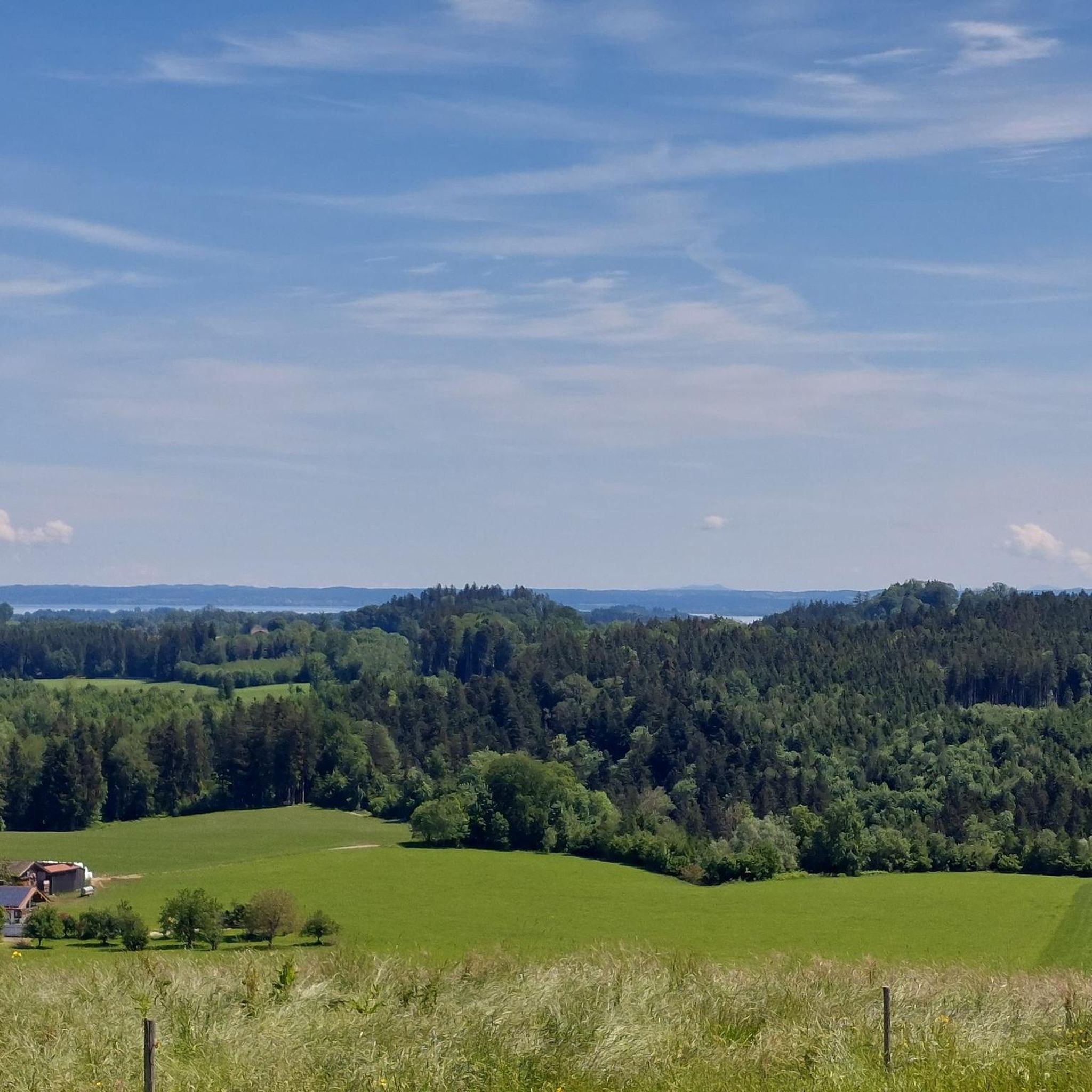
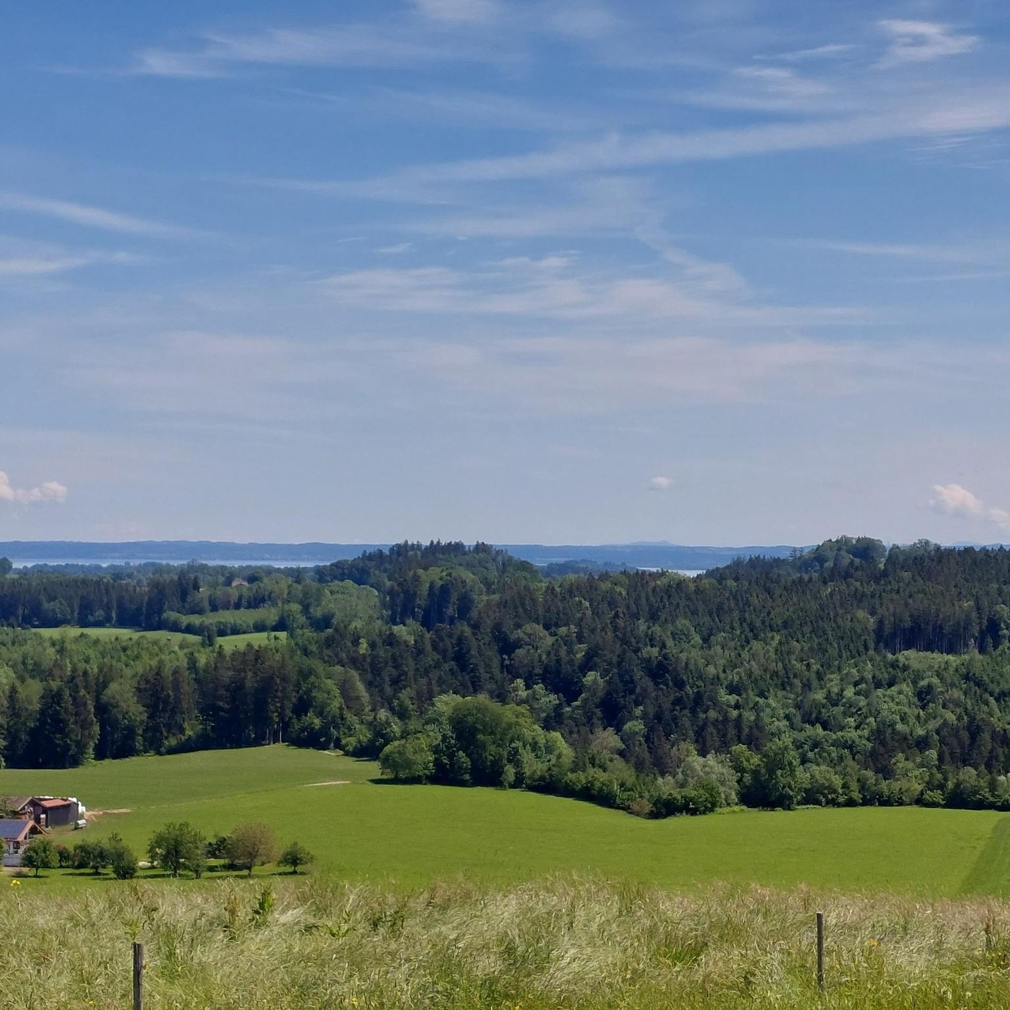
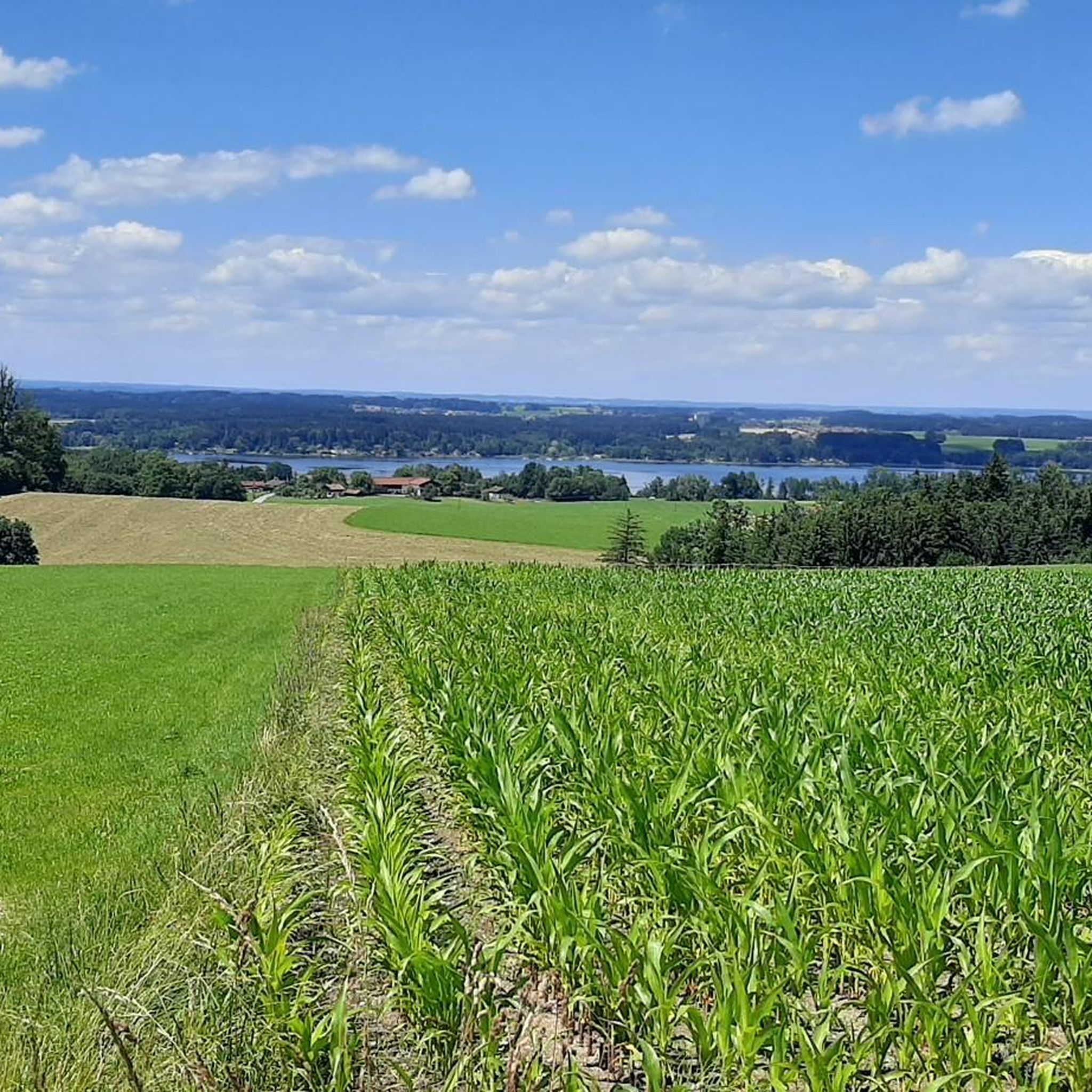
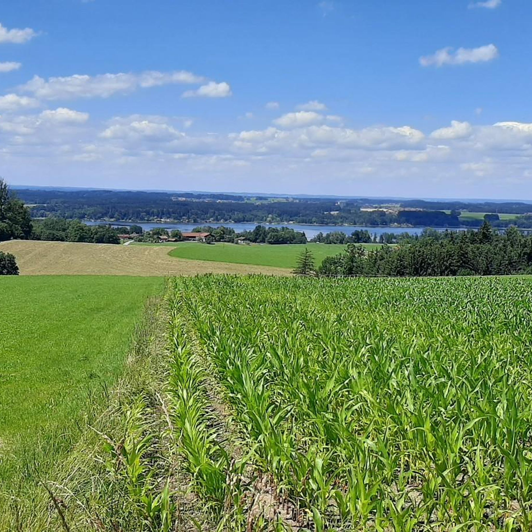
Beautiful view of Lake Chiemsee and the Kampenwand mountain from the Ratzinger Höh
0
0

A great view with hospitality
0
0

Shortcut via Jakobsberg. However, it's better to cycle from the Tuntenhausen to Beyharting cycle path up to Jakobsberg instead of taking the main road.
0
0

Super delicious Kaiserschmaren at the Unterwirt
0
0

The climb is not easy but it is worth it
0
0
Frequently Asked Questions
How many road cycling routes are available around Riedering?
Riedering and the surrounding Chiemgau region offer a vast network for road cyclists, with over 590 routes available on komoot. This includes a diverse range of options from easy, flat rides to more challenging tours with significant elevation gain.
What kind of terrain can I expect when road cycling around Riedering?
The region offers varied terrain. You'll find flatter routes with low traffic in the northern Chiemgau, often providing fantastic mountain panoramas. Towards the south, closer to the Alps, routes become more challenging with significant elevation gains. The landscape also features picturesque moorlands, idyllic Upper Bavarian farmland, and scenic paths near Lake Simssee and Lake Chiemsee.
Are there road cycling routes suitable for beginners or those seeking an easier ride?
Yes, Riedering has plenty of options for less experienced cyclists or those looking for a relaxed outing. There are 143 easy routes available. An example is the Quiet road near Spöck – Watermill in Brannenburg loop from Thansau, which is 25.0 miles (40.2 km) with less elevation, perfect for a quicker, gentler ride.
What about more challenging road cycling routes with significant elevation gain?
For experienced road cyclists seeking a challenge, the southern Chiemgau region offers more demanding routes with notable climbs. There are 65 difficult routes and 386 moderate routes available. A popular moderate option with significant elevation is the Doblergraben – Gut Innleiten loop from Thansau, covering 37.4 miles (60.1 km) with over 600 meters of ascent.
What scenic viewpoints or natural features can I see along the road cycling routes?
Road cycling around Riedering offers breathtaking views. You can enjoy stunning perspectives of Lake Chiemsee and the majestic Kampenwand mountain from spots like the Ratzinger Höhe. Many routes also provide impressive vistas of the Chiemgau Alps and the Inntal valley. The area is also known for its vast moorlands and idyllic Upper Bavarian farmland, especially vibrant with yellow dandelion meadows in spring.
Can I find circular road cycling routes in the Riedering area?
Yes, many road cycling routes around Riedering are designed as loops, allowing you to start and end at the same point. The region's proximity to Lake Simssee and Lake Chiemsee means you can find scenic circular paths, such as the Chiemsee circular path, which guides cyclists through secluded swimming bays and lakeside resorts.
What are the best times of year for road cycling in Riedering?
The spring and summer months are ideal for road cycling in Riedering, offering pleasant temperatures and vibrant landscapes. Spring brings blooming meadows, while summer allows for breaks at idyllic bathing spots along lakes like Simssee. The region's diverse terrain means routes can be enjoyed throughout the warmer seasons.
Are there options for parking when accessing road cycling routes in Riedering?
Yes, the Chiemgau region is well-equipped for visitors. While specific parking spots vary by route, many trailheads and popular starting points in towns like Thansau, which is a common starting point for routes around Riedering, offer designated parking areas for cyclists. It's advisable to check specific route details for parking recommendations.
How can I access road cycling routes in Riedering using public transport?
The Chiemgau region has a public transport network that can help you reach various starting points for cycling routes. While direct access to every trailhead might require some planning, regional buses and trains connect the larger towns and lakeside areas. Some services may accommodate bikes, but it's best to check schedules and bike carriage policies with local transport providers in advance.
What do other cyclists say about road cycling in Riedering?
The road cycling routes around Riedering are highly regarded by the komoot community, with an impressive average rating of 4.5 stars from over 2,000 reviews. Cyclists frequently praise the diverse landscapes, from serene lakeside paths to challenging alpine foothills, and the well-maintained cycling infrastructure that makes exploring the region a pleasure.
Are there any cultural or historical sights I can incorporate into my road cycling tours?
While primarily known for its natural beauty, the broader Chiemgau region allows for cultural exploration. Longer cycling tours can incorporate visits to nearby cities like Salzburg, Berchtesgaden, Rosenheim am Inn, and Bad Reichenhall. The area is also traversed by long-distance cycle paths like the Saltworks Cycle Path and Via Julia, which offer historical and cultural themes to explore.
Are there places to stop for refreshments or accommodation along the routes?
Yes, the region around Riedering is well-developed for tourism. Many routes, especially those around Lake Chiemsee and Lake Simssee, pass through populated lakeside resorts and villages where you can find cafes, pubs, and beer gardens for refreshments. Accommodation options, ranging from guesthouses to hotels, are also available in Riedering and nearby towns for longer stays.
What natural attractions can I find near the road cycling routes?
Beyond the stunning lakes, you can explore several natural attractions. The region features interesting geological formations, including caves. For example, you might find highlights such as Keyhole Cave or Spielberg Cave, which can be points of interest during your cycling adventures.
Most popular routes around Riedering
Most popular attractions around Riedering

Get inspired with the komoot mobile app


Explore more
Browse the best Road cycling routes in other regions.
