The best road cycling routes around Casteldelfino
4.6
(73)
3,183
riders
30
rides
Road cycling routes around Casteldelfino feature significant elevation changes and challenging mountain passes. The region is characterized by high alpine terrain, deep valleys, and views of prominent peaks like Monte Viso. These roads provide opportunities for advanced road cycling with demanding climbs and descents. Scenic viewpoints are common along many routes, showcasing the dramatic landscape.
Best road cycling routes around Casteldelfino
- The most popular road cycling route is Col Agnel / Colle dell'Agnello – Lac de Pontechianale loop from Sampeyre, a 62.2 miles (100.2 km) trail that takes 6 hours 22 minutes to complete. This difficult route features substantial elevation gain through high mountain passes.
- Another top favourite among local road cyclists is Casteldelfino – Sampeyre Pass loop from Stroppo, a difficult 55.9 miles (89.9 km) path. This route includes significant climbs and descents, offering expansive views of the surrounding alpine environment.
- Local road cyclists also love the Sampeyre – Melle loop from Sampeyre, a 36.2 miles (58.3 km) trail leading through varied terrain, often completed in about 2 hours 36 minutes. This moderate route provides a less strenuous option while still offering engaging cycling.
- Road cycling around Casteldelfino is defined by high mountain passes, deep valleys, and views of peaks, including Monte Viso. The network offers options for both moderate and advanced ability levels, with many routes featuring considerable distance and elevation.
- The routes in Casteldelfino are highly rated by the komoot community with an average score of 4.5 stars from more than 30 reviews. Nearly 2,000 road cyclists have used komoot to explore Casteldelfino's varied terrain.
Last updated: July 28, 2026
4.7
(19)
878
riders
73.9km
05:05
2,430m
2,430m
Hard road ride. Very good fitness required. Mostly well-paved surfaces and easy to ride.
4.9
(8)
508
riders
91.4km
05:13
2,100m
2,100m
Hard road ride. Very good fitness required. Mostly well-paved surfaces and easy to ride.

Sign up for free
4.6
(5)
152
riders
32.4km
02:44
1,340m
1,350m
Hard road ride. Very good fitness required. Some segments of this route may be unpaved and difficult to ride.
4.0
(4)
122
riders
52.3km
04:07
2,160m
2,160m
Hard road ride. Very good fitness required. Mostly well-paved surfaces and easy to ride.
5.0
(3)
146
riders
58.3km
02:37
640m
640m
Moderate road ride. Good fitness required. Mostly well-paved surfaces and easy to ride.
Get access to more routes and recommendations from other explorers.
Sign up for free
Already have an account?
Our route recommendations are based on thousands of hikes, rides, and runs completed by other people on komoot.
Start today with a free account
Your next adventure awaits.
Login or Signup
Popular around Casteldelfino
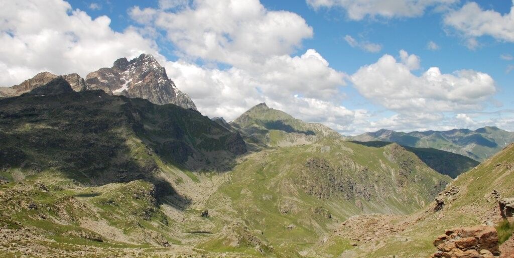
Tour di Viso – Four days around the Stone King from Meire Dacant
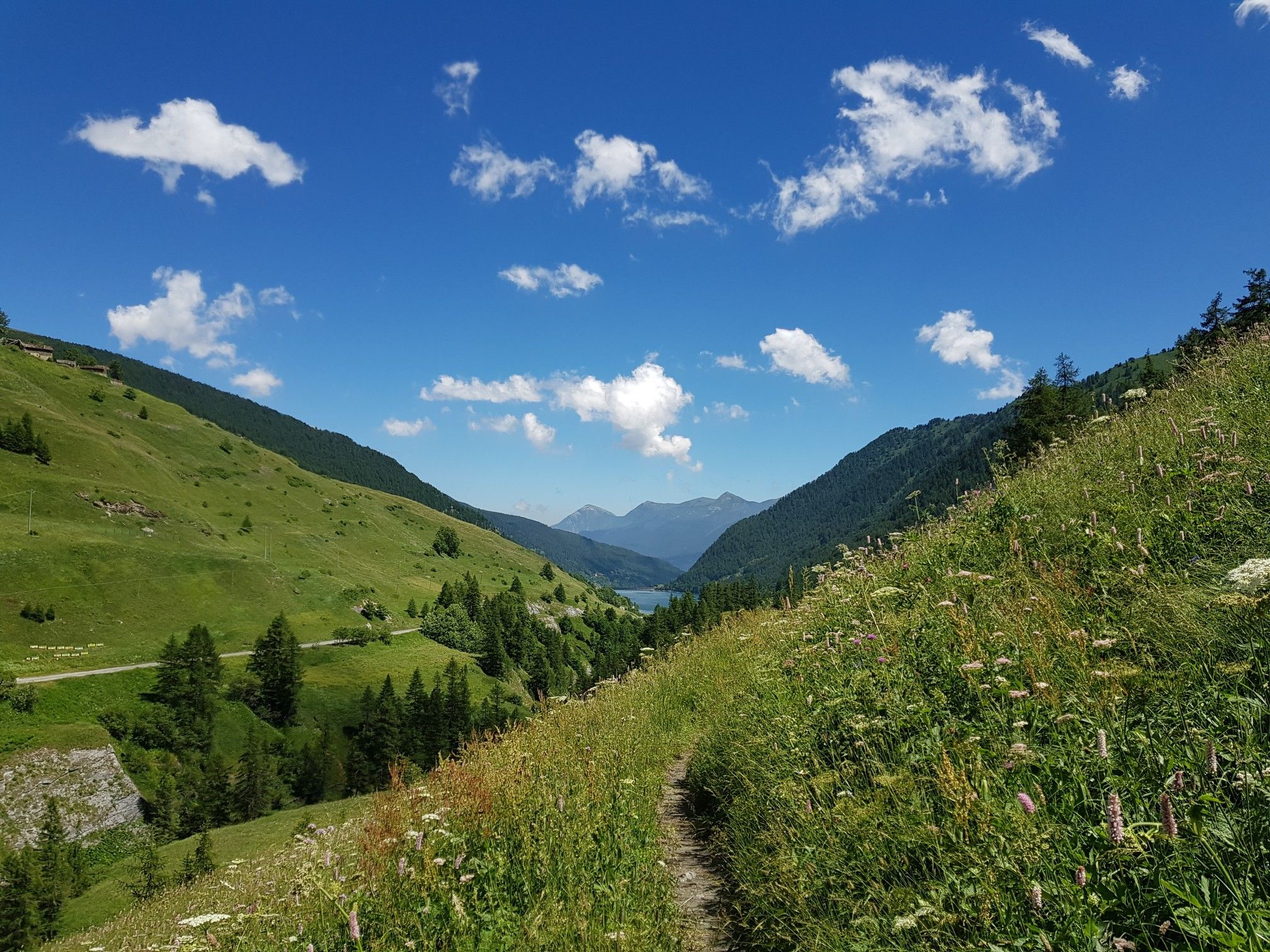
Varaita Valley Trekking – a journey into the lands of Italy’s Monviso
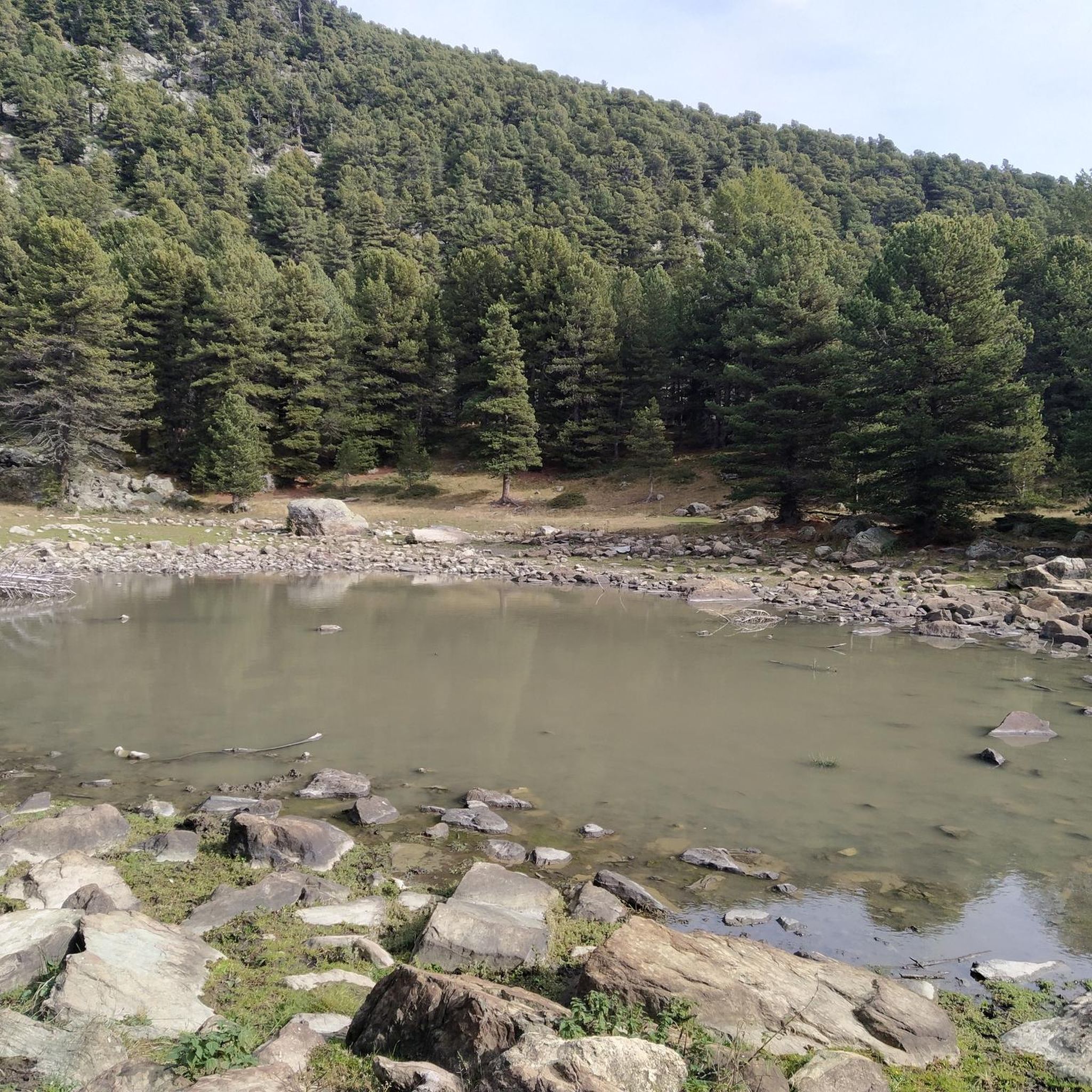
Hiking around Casteldelfino
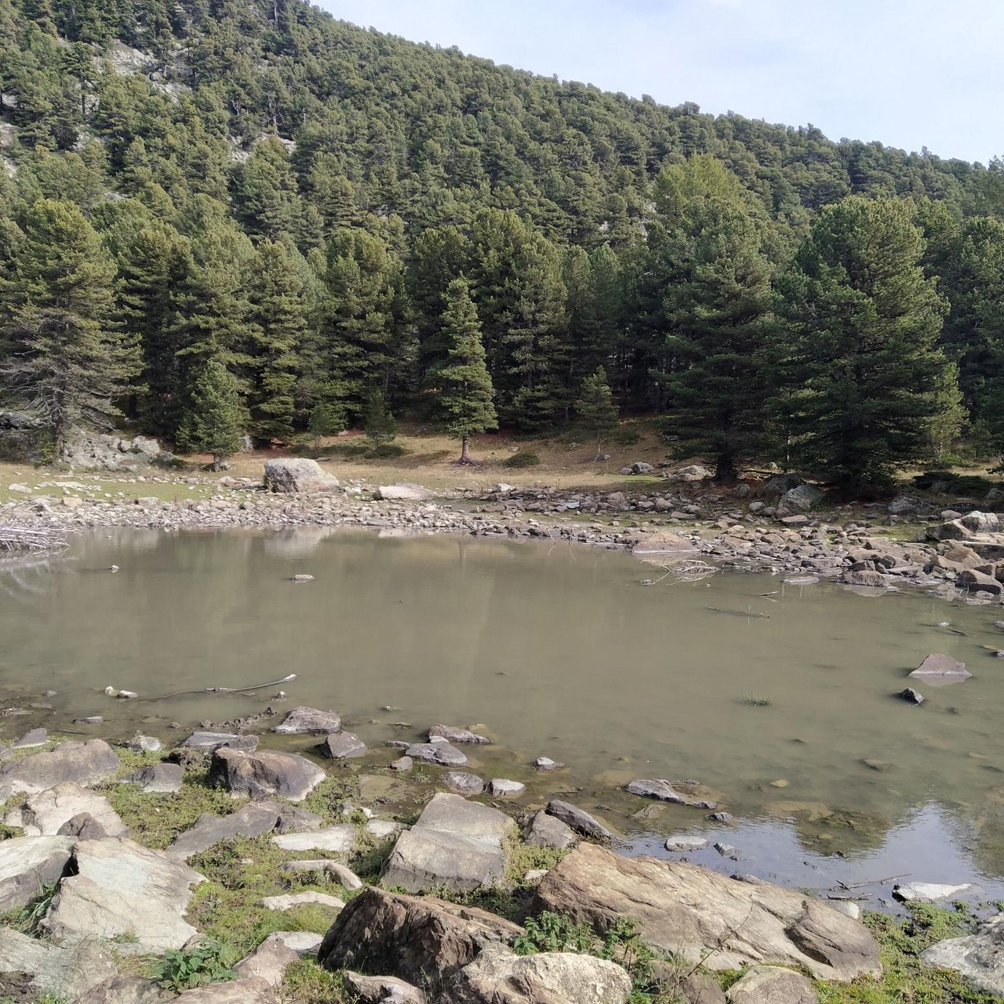
Cycling around Casteldelfino
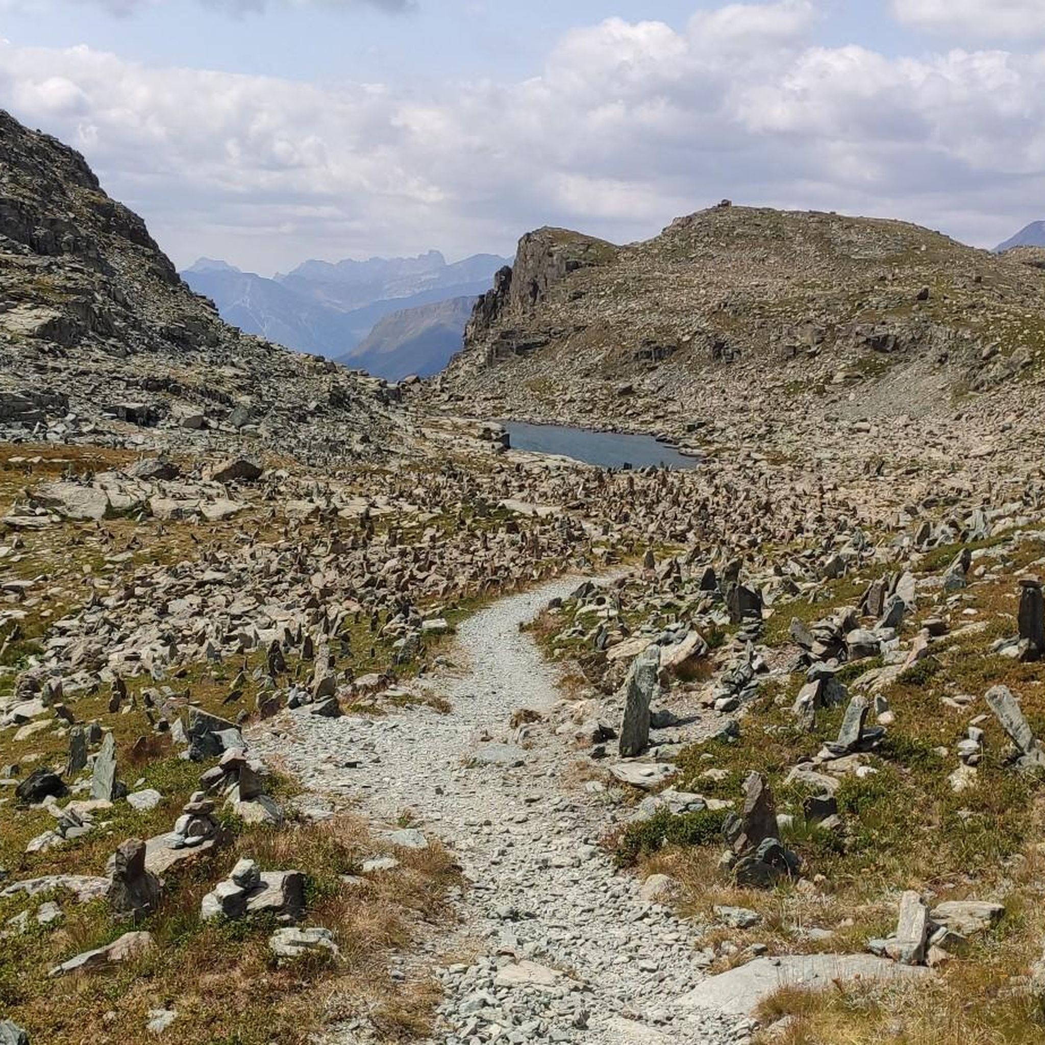
Running Trails around Casteldelfino
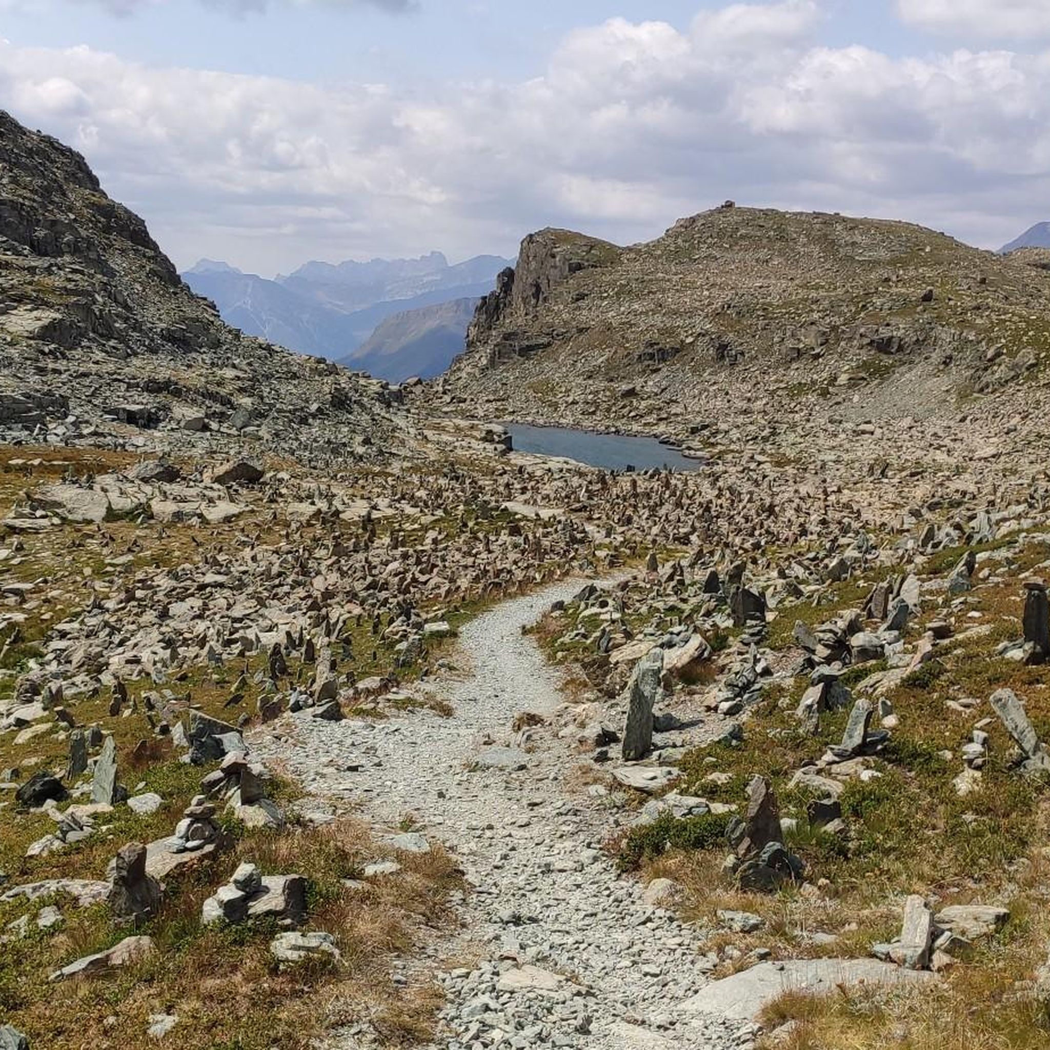
MTB Trails around Casteldelfino
Gravel biking around Casteldelfino
Mountain Hikes around Casteldelfino


Tips from the Community

The refuge closed in the autumn of 2023 because the Municipality of Elva decided to renovate it with PNRR funds. The old managers left and in the summer of 2026 the Municipality issued a tender for new managers. It will probably reopen soon.
0
0

From the bridge over the Varaita, entering Costigliole from the Saluzzo/Piasco side, you get a beautiful overview of the upper part of the town with its churches and castles (remember that there are as many as three castles in Costigliole Saluzzo).
0
0
Ascent to the Colle di Sampeyre from Sampeyre. Constant gradient over the entire (long) route, it never lets up, but it's a good climb on a picture-postcard mountain with stunning views of the valley.
0
0
Parish church of Stroppo, located in the hamlet of Paschero (capital and municipal seat). Classic structure of these valleys, with a painted facade (the fresco above the portal is very beautiful). The bell tower is noteworthy. Around it, the hamlet, very picturesque. The Town Hall and the nearby covered loggia are noteworthy.
0
0

Here, edelweiss even grows right by the roadside
0
0
Source of fresh drinking water (as the name suggests, "Fontana Fredda" in Italian), next to the provincial road 333, right at the beginning just after leaving Campomolino. Interesting, and useful. For those who don't trust the potability too much, in the village of Campomolino there is a more "modern" fountain - but I suspect it relies on the same source...
0
0
Secondary pass between Valle Grana and Valle Maira. Reachable from the Esischie-Fauniera road, from the Val Maira side it is reached only by a path. You can enjoy a beautiful view of the mountains of Val Maira on one side, and of the summit basin of Val Grana on the other.
0
0
Stone bridge at the beginning of one of the trails in the splendid trail network of this area of Val Maira. It stands out against the backdrop of the mountain behind, and offers a beautiful view.
0
0
Frequently Asked Questions
How many road cycling routes are available around Casteldelfino?
There are over 20 road cycling routes around Casteldelfino, with 7 classified as moderate and 14 as difficult. The region is known for its challenging mountain terrain and significant elevation changes.
Are there any road cycling routes suitable for beginners in Casteldelfino?
Road cycling around Casteldelfino is primarily characterized by significant elevation changes and challenging mountain passes. While there are no routes classified as 'easy,' there are 7 moderate routes available. For example, the Sampeyre – Melle loop from Sampeyre is a moderate option, offering engaging cycling without the extreme demands of the more difficult passes.
What kind of elevation changes can I expect on road cycling routes in Casteldelfino?
Road cycling routes in Casteldelfino feature substantial elevation changes, often including demanding climbs and descents over high mountain passes. For instance, the Casteldelfino – Sampeyre Pass loop from Stroppo involves over 3,200 meters of elevation gain, showcasing the region's alpine character.
Are there any circular road cycling routes around Casteldelfino?
Yes, many of the road cycling routes around Casteldelfino are loops, allowing you to start and finish in the same location. Examples include the challenging Col Agnel / Colle dell'Agnello – Lac de Pontechianale loop from Sampeyre and the Sampeyre Pass – View of Monte Viso loop from Stroppo.
What are some scenic viewpoints or landmarks to look out for on road cycling routes?
The routes often provide expansive views of the surrounding alpine environment and prominent peaks like Monte Viso. You might encounter landmarks such as the Statue of the Virgin Mary at Colle di Sampeyre or pass by the Sampeyre Pass. The Esischie Pass – Colle Fauniera loop from Stroppo also offers stunning vistas.
What is the best season for road biking in Casteldelfino?
Given the high alpine terrain and mountain passes, the best season for road biking in Casteldelfino is typically from late spring to early autumn (June to September). During these months, the passes are generally clear of snow, and the weather conditions are more favorable for cycling, though mountain weather can change rapidly.
What do other road cyclists say about the routes in Casteldelfino?
The road cycling routes in Casteldelfino are highly rated by the komoot community, with an average score of 4.5 stars from over 30 reviews. Cyclists often praise the challenging nature of the climbs, the dramatic alpine scenery, and the sense of accomplishment after conquering the high mountain passes.
Are there any specific routes that offer views of Monte Viso?
Yes, several routes offer views of Monte Viso, a prominent peak in the region. The Sampeyre Pass – View of Monte Viso loop from Stroppo is specifically highlighted for its expansive views of this iconic mountain.
Are there any places to explore or attractions near the road cycling routes?
Beyond the cycling itself, the region offers natural attractions like the Source of the Po River and Lake Fiorenza. You can also find mountain passes such as Birrone Pass and the historic Tunnel de la Traversette (Buco di Viso).
What is the typical duration for road cycling routes in Casteldelfino?
The duration varies significantly based on the route's distance and elevation. Moderate routes like the Sampeyre – Melle loop from Sampeyre can take around 2 hours 36 minutes, while difficult routes such as the Col Agnel / Colle dell'Agnello – Lac de Pontechianale loop from Sampeyre can require over 6 hours to complete.
Are there any particularly challenging road cycling routes for experienced riders?
Casteldelfino is ideal for experienced riders seeking a challenge. Routes like the Casteldelfino – Sampeyre Pass loop from Stroppo, with over 3,200 meters of elevation gain, and the Col Agnel / Colle dell'Agnello – Lac de Pontechianale loop from Sampeyre, featuring nearly 3,000 meters of ascent, offer demanding climbs and descents through high mountain passes.
Most popular routes around Casteldelfino
Most popular attractions around Casteldelfino

Get inspired with the komoot mobile app


Explore more
Browse the best Road cycling routes in other regions.
