The best walks and hikes around Neviano Degli Arduini
4.4
(741)
2,774
hikers
34
hikes
Hiking around Neviano Degli Arduini offers diverse landscapes within the province of Parma, Italy. The region is characterized by the Apennine landscape, featuring gentle hills, dense forests, and panoramic viewpoints. Prominent natural features include Monte Fuso and the tranquil Lago di Scurano, providing varied terrain for outdoor activities. The Parma Hills contribute to the picturesque scenery with rolling terrains and cultivated fields.
Best hiking trails in Neviano Degli Arduini
- The most popular hiking route is Val Bardea Loop, an…
Last updated: July 20, 2026
4.2
(6)
19
hikers
5.56km
01:49
270m
270m
Easy hike. Great for any fitness level. Easily-accessible paths. Suitable for all skill levels.
4.0
(1)
5
hikers
16.1km
05:18
700m
700m
Hard hike. Very good fitness required. Mostly accessible paths. Sure-footedness required.

Sign up for free
4.0
(1)
4
hikers
13.0km
04:26
620m
620m
Moderate hike. Good fitness required. Mostly accessible paths. Sure-footedness required.
3.0
(1)
1
hikers
8.92km
02:51
370m
370m
Moderate hike. Good fitness required. Easily-accessible paths. Suitable for all skill levels.
12.1km
04:18
680m
680m
Moderate hike. Good fitness required. Mostly accessible paths. Sure-footedness required.
Get access to more routes and recommendations from other explorers.
Sign up for free
Already have an account?
Our route recommendations are based on thousands of hikes, rides, and runs completed by other people on komoot.
Start today with a free account
Your next adventure awaits.
Login or Signup
Tips from the Community

Monte Fuso reaches an altitude of 1115 m above sea level. Just before the top there is a large plateau: it is the area used as a flying field for paragliding enthusiasts.
1
0
From Sargnana you can enjoy a beautiful panorama of the surrounding meadows. The Corte Baroni is also located here: an extraordinary example of a Renaissance manor complex.
2
0

or names illegible in the photo, killed in the course of the "Wallenstein 1" combing operation July 1, 1944
1
0
In memory of the two partisans killed in the "Wallenstein I" combing operation.
1
0

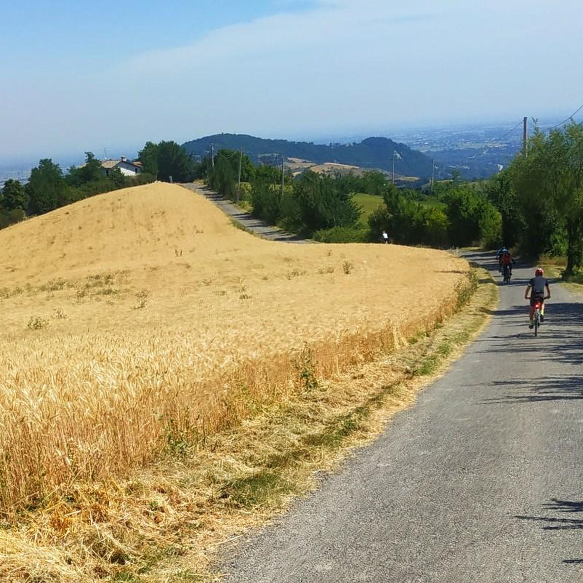
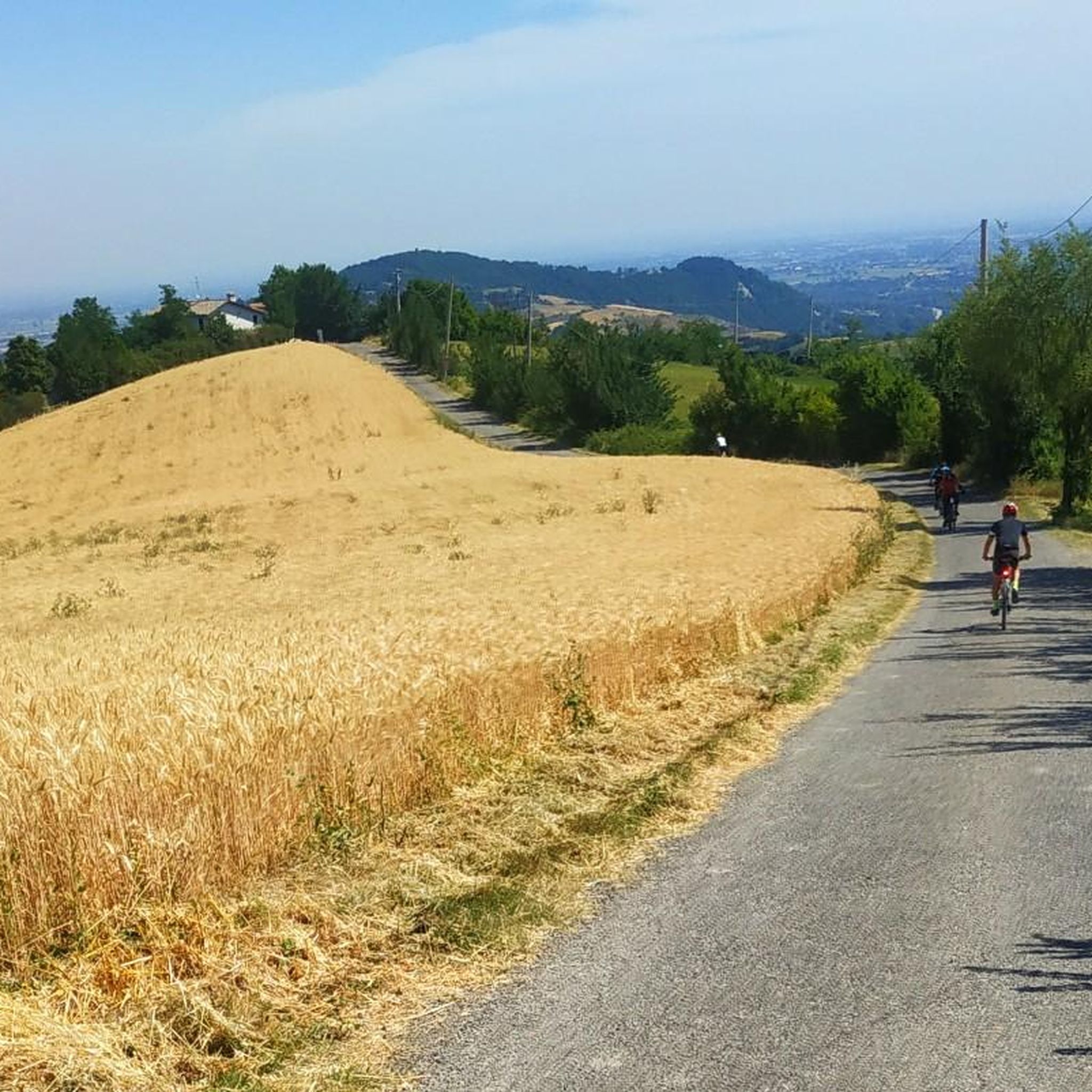
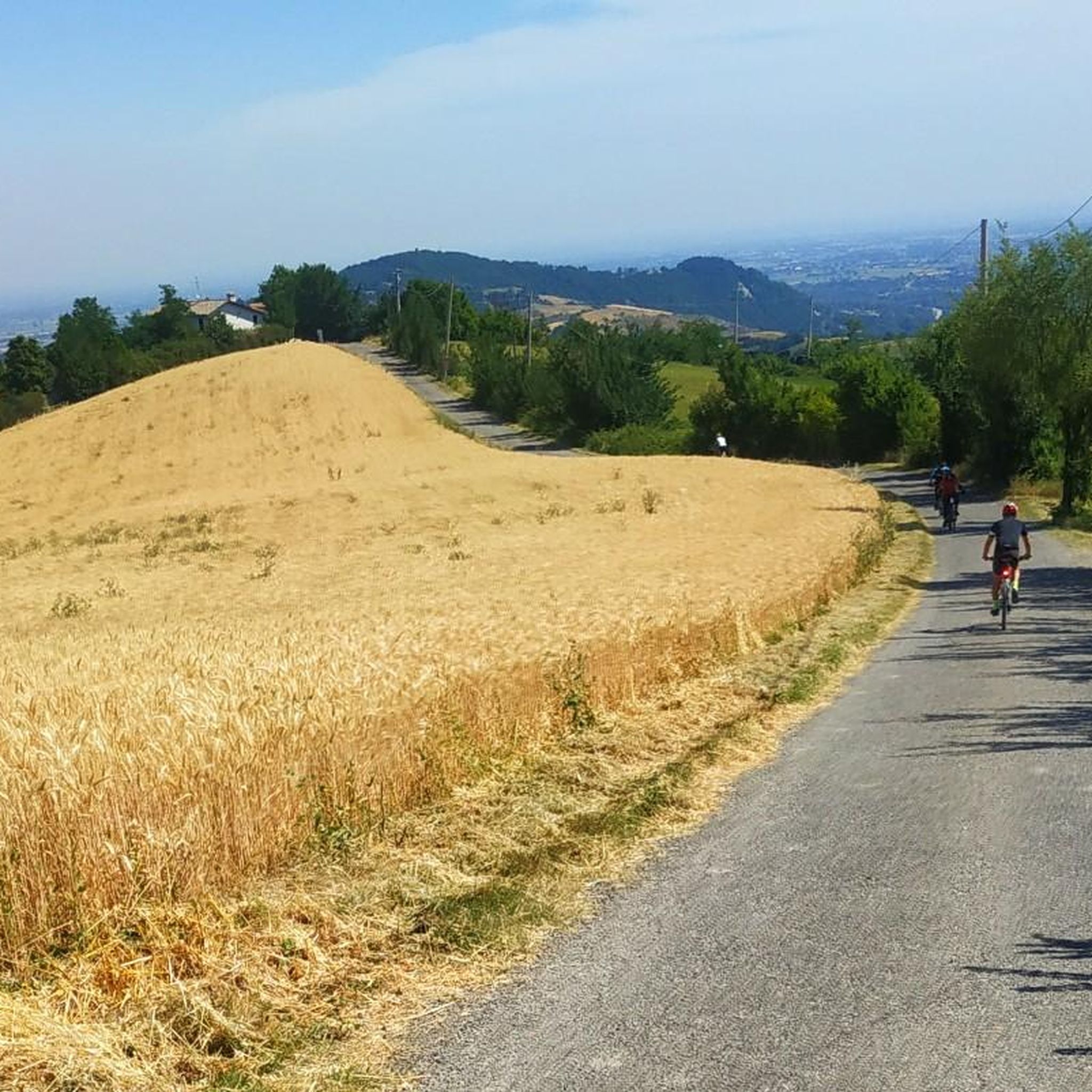
Easy climbs even on asphalt and very fun descents in the woods. Sandy bottom that does not "pack" the bike with mud in case of recent rains.
3
0

It can be the ideal place for a lunch stop, there are also tables with benches near the tower
1
0
Frequently Asked Questions
How many hiking trails are available in Neviano Degli Arduini?
Neviano Degli Arduini offers over 30 hiking routes, catering to various skill levels. You'll find 5 easy trails, 25 moderate options, and 3 more challenging routes to explore the region's diverse landscapes.
What kind of terrain can I expect on hikes in Neviano Degli Arduini?
The region is characterized by the Apennine landscape, featuring gentle hills, dense forests, and panoramic viewpoints. You'll encounter rolling terrains, cultivated fields, and areas around tranquil lakes like Lago di Scurano. Trails often wind through picturesque scenery, offering a mix of natural beauty.
Are there any easy, family-friendly hikes in Neviano Degli Arduini?
Yes, there are several easy trails suitable for families. A good option is the Val Bardea Loop, which is an easy 5.6 km (3.5 miles) route that takes less than two hours to complete, offering an accessible loop through the local countryside.
What natural features or landmarks can I see while hiking in the area?
Hikers can discover prominent natural features like Monte Fuso, which offers trails to its summit and a wildlife oasis. The tranquil Lago di Scurano is another highlight, ideal for leisurely strolls and birdwatching. You can also visit the imposing Bismantova Rock, a significant natural monument with panoramic views, though it's slightly further afield.
Are there any historical sites or cultural attractions accessible from the trails?
Yes, you can combine hiking with historical exploration. The Monte Fuso Summit Trail to Historic Monument (via Trail 763) leads to a 1900 monument. Additionally, the Rocca di Belvedere can be reached via paths that also touch Monte Fuso. Ancient churches like Pieve di Santa Maria Assunta (Sasso) and Pieve di Sant'Ambrogio (Bazzano) in nearby villages can also be incorporated into itineraries.
What do other hikers say about the trails in Neviano Degli Arduini?
The routes in Neviano Degli Arduini are highly rated by the komoot community, with an average score of 4.5 stars from over 650 reviews. More than 2500 hikers have used komoot to explore the varied terrain, often praising the scenic beauty of the Apennine hills, dense forests, and tranquil lakes.
Are there any circular hiking routes available?
Yes, circular routes are available. The Val Bardea Loop is an easy circular trail that allows you to experience the local countryside without retracing your steps.
Can I reach Monte Fuso on a longer, more challenging hike?
Absolutely. For a more challenging experience, consider the Parma Hills Trail to Monte Fuso (via Route 762). This difficult 16.1 km (10.0 miles) trail leads through the rolling Parma Hills and the Monte Fuso countryside, typically taking over 5 hours to complete.
Are there any routes that connect different villages or churches?
Yes, there are routes that offer a journey between historical points. For example, the From Campora Chiesa to Moragnano Chiesa (via Trail 759) is a moderate trail connecting two churches, allowing you to discover the region's history and architecture.
What is the best time of year to go hiking in Neviano Degli Arduini?
The region's diverse landscapes, from gentle hills to dense forests, are enjoyable throughout much of the year. Spring and autumn offer pleasant temperatures and vibrant scenery, while summer provides warm conditions for exploring. Always check local weather conditions before heading out.
Are there any viewpoints or panoramic spots along the trails?
Many trails in Neviano Degli Arduini offer panoramic views, especially those leading to higher elevations. The Monte Fuso Summit Trail to Historic Monument (via Trail 763) leads to a paragliding plateau with expansive views. Additionally, the Scenic Road Between the Castles of Canossa and Rossena offers beautiful vistas of the Emilian landscape and surrounding castles.
Most popular routes around Neviano Degli Arduini
Most popular attractions around Neviano Degli Arduini

Get inspired with the komoot mobile app


Explore more
Browse the best Hikes in other regions.
