The best road cycling routes around Magliano Alpi
4.5
(207)
6,792
riders
257
rides
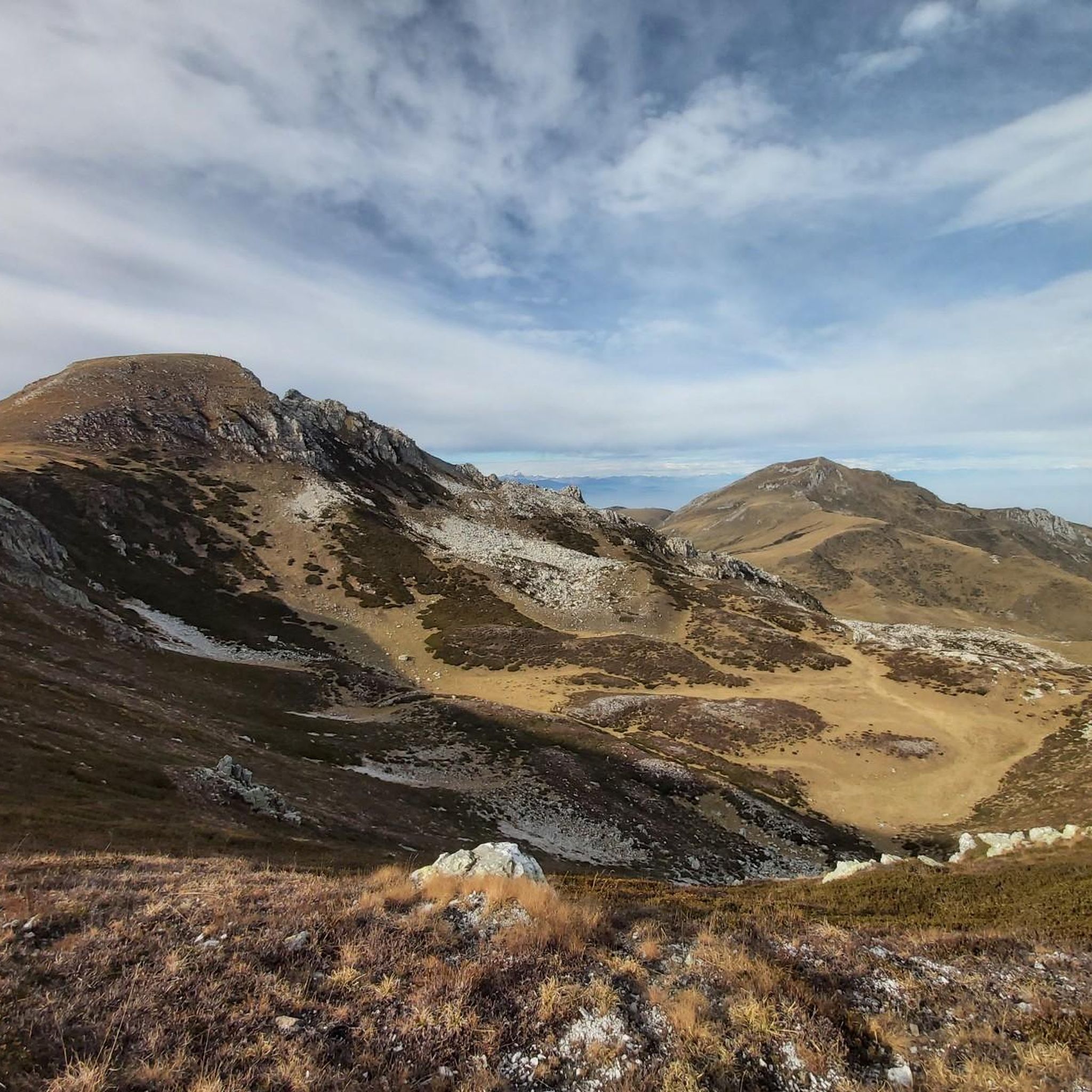
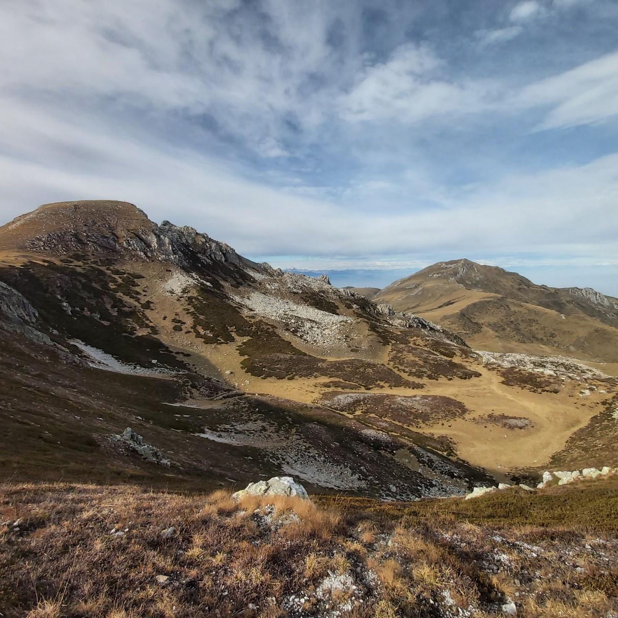
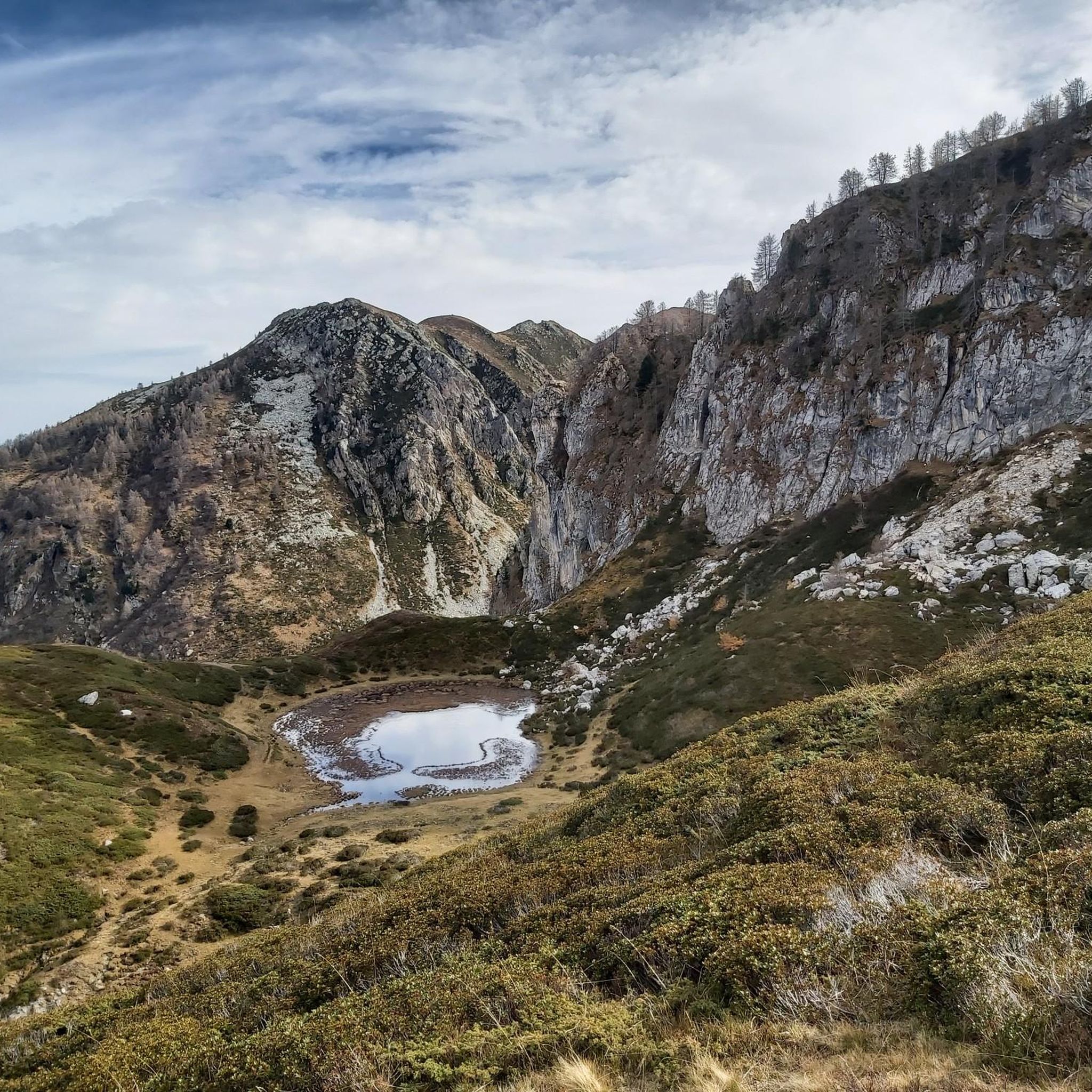
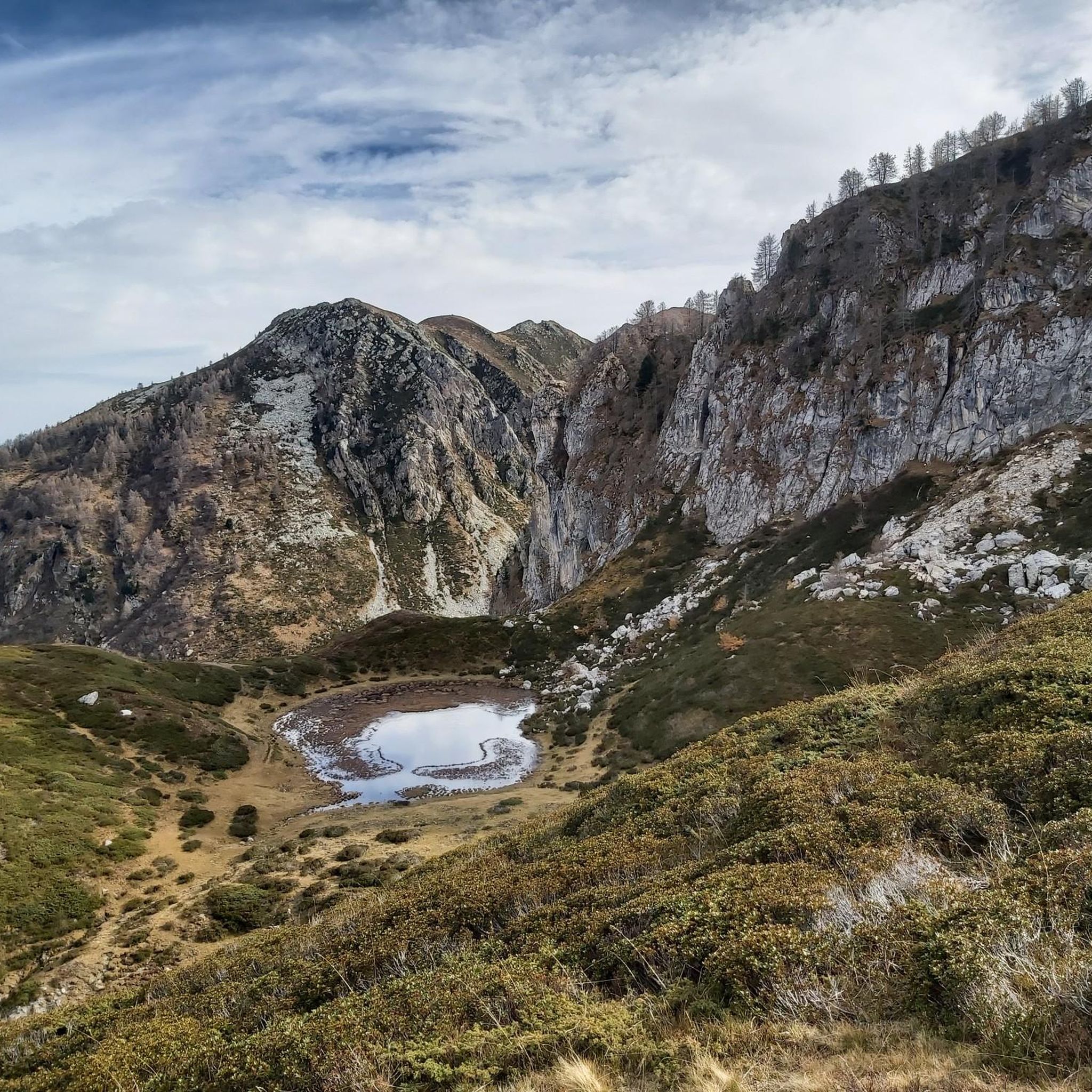
Road cycling routes around Magliano Alpi are situated in Italy's Piedmont region, within the Province of Cuneo. The area features diverse and challenging natural landscapes, characterized by mountainous terrain and pastures reaching altitudes up to 1,800 meters. It is nestled within the Ligurian Alps, providing an alpine backdrop for road cycling.
Best road cycling routes around Magliano Alpi
- The most popular road cycling route is Chapel with Fountain – Sgambatella loop from S. Giovanni Carrù, a 33.2 miles (53.5…
Last updated: May 12, 2026
5.0
(1)
37
riders
62.2km
03:15
1,090m
1,090m
Hard road ride. Very good fitness required. Mostly well-paved surfaces and easy to ride.
3.0
(1)
31
riders
38.3km
01:49
280m
280m
Easy road ride. Great for any fitness level. Mostly well-paved surfaces and easy to ride.

Sign up for free
25
riders
32.8km
01:39
550m
550m
Moderate road ride. Good fitness required. Mostly well-paved surfaces and easy to ride.
5.0
(1)
22
riders
62.3km
03:17
1,150m
1,150m
Hard road ride. Very good fitness required. Mostly well-paved surfaces and easy to ride.
36
riders
Moderate road ride. Good fitness required. Mostly well-paved surfaces and easy to ride.
Get access to more routes and recommendations from other explorers.
Sign up for free
Already have an account?
Our route recommendations are based on thousands of hikes, rides, and runs completed by other people on komoot.
Start today with a free account
Your next adventure awaits.
Login or Signup

Tips from the Community

Dogliani's historic center, worth a visit.
0
0
Beautiful and scenic road. On weekends, it's best to go elsewhere due to heavy (motorcycle) traffic.
0
0
A bucolic village. Stroll through slowly to soak up the atmosphere.
0
0
Beautiful little street and fairytale village in the lesser-known Langa.
0
0


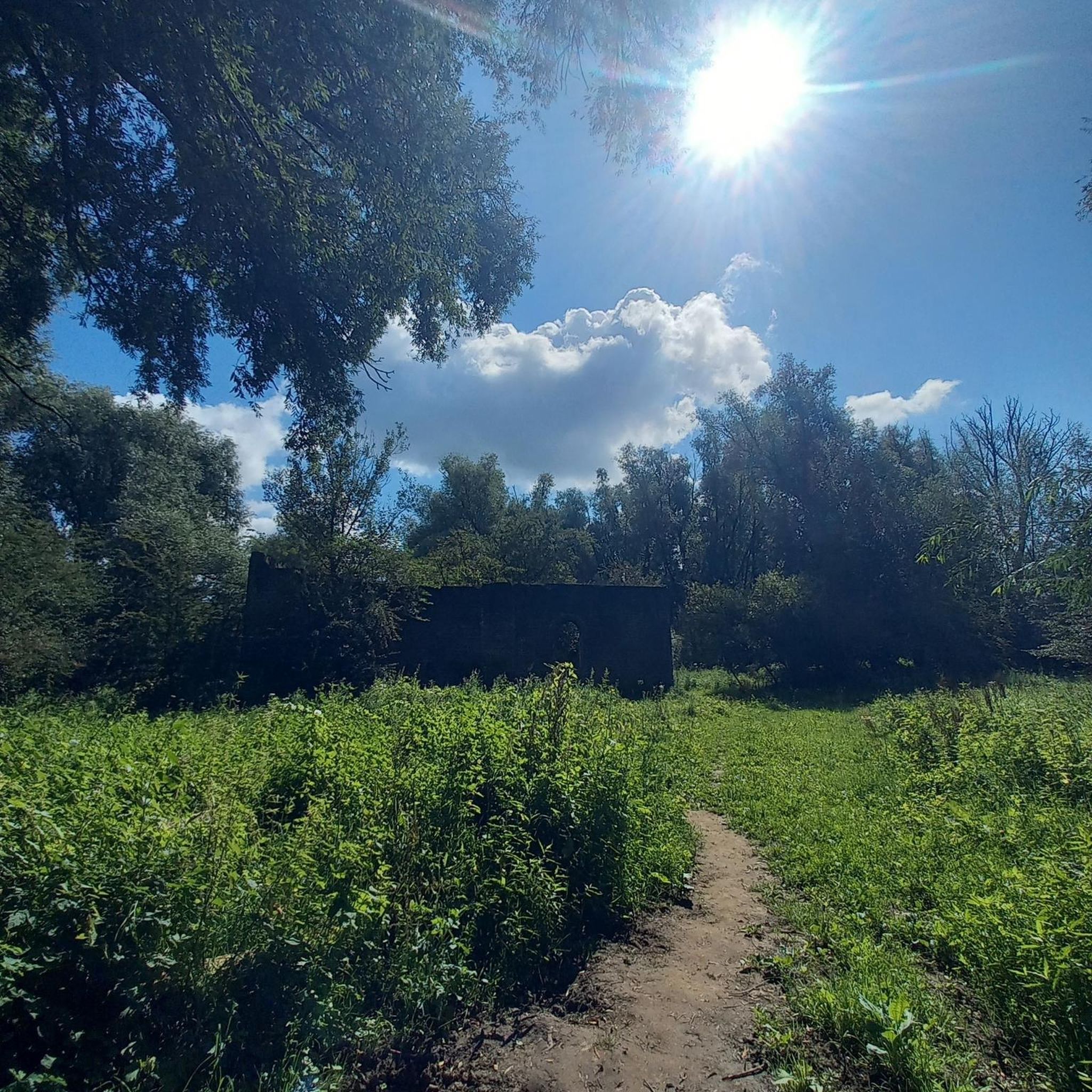
A sacred building kept in perfect condition.
12
0

Beautiful location!! It's always nice to go to Murazzano.!
0
0
good vagienna, via Roma 125.
0
0
Frequently Asked Questions
What kind of terrain can I expect when road cycling around Magliano Alpi?
The Magliano Alpi area, nestled in Italy's Piedmont region, offers a diverse and challenging landscape for road cyclists. You'll encounter mountainous terrain, rolling hills, and quiet roads. The region is known for its alpine backdrop, with pastures reaching up to 1,800 meters, providing both demanding climbs and exhilarating descents.
How many road cycling routes are available in the Magliano Alpi region?
There are over 240 road cycling routes available around Magliano Alpi on komoot. These routes cater to various skill levels, from easy loops to challenging alpine ascents, ensuring options for every cyclist.
Are there easy road cycling routes suitable for beginners in Magliano Alpi?
Yes, Magliano Alpi offers options for beginners. There are 48 easy road cycling routes available. An example of a less strenuous route is the Piazza di Bene Vagienna – Castello di Bene loop from S. Giovanni Carrù, which is 38.3 km long and takes approximately 1 hour 48 minutes.
What are some challenging road cycling routes in the area?
For experienced cyclists seeking a challenge, Magliano Alpi has 76 difficult routes. A notable difficult route is the View of the Langhe Vineyards – Murazzano War Memorial loop from S. Giovanni Carrù, which covers 62.2 km and features significant elevation gain, offering extensive views of the renowned Langhe Vineyards.
What do other road cyclists think about the routes in Magliano Alpi?
The road cycling routes in Magliano Alpi are highly regarded by the komoot community, with an average rating of 4.5 stars from over 170 reviews. More than 6,400 road cyclists have explored the varied terrain using komoot, often praising the scenic beauty and diverse challenges.
What natural attractions or landmarks can I see along the road cycling routes?
The region around Magliano Alpi offers stunning natural features and historical landmarks. While cycling, you might encounter the dramatic alpine scenery of the Ligurian Alps. Nearby attractions include the Saut Waterfalls and Pian delle Gorre. For historical sights, consider routes that pass by highlights such as Carrù Castle or Piazza Pio VI, Rocca de' Baldi.
Are there any mountain passes suitable for road cycling near Magliano Alpi?
While the famous Via del Sale is primarily unsealed and better suited for mountain biking, the broader Piedmont region accessible from Magliano Alpi is rich with paved routes that incorporate varied gradients and scenic beauty. You can explore mountain passes like Porta Sestrera or Old Saddles Pass, which offer challenging climbs and rewarding views.
When is the best time of year to go road cycling in Magliano Alpi?
The best time for road cycling in Magliano Alpi is generally during summer and autumn, after the snow melts in the higher altitudes. This period ensures clearer roads and more favorable weather conditions to fully enjoy the alpine scenery and challenging routes.
Are there any routes that offer views of the Langhe Vineyards?
Yes, some routes provide extensive views of the renowned Langhe Vineyards. The View of the Langhe Vineyards – Murazzano War Memorial loop from S. Giovanni Carrù is a difficult 62.2 km path specifically designed to showcase these picturesque vineyards.
Can I find facilities like e-bike charging stations in the Magliano Alpi area?
Yes, the region is becoming more accommodating for cyclists. For instance, e-bike charging stations are available at places like Rifugio Don Barbera, indicating support for cyclists exploring the hilly terrain and longer routes.
Are there any circular road cycling routes available?
Many of the road cycling routes around Magliano Alpi are designed as loops, allowing you to start and finish at the same point. Examples include the Chapel with Fountain – Sgambatella loop from S. Giovanni Carrù and the Scenic Ascent – Carrù Castle loop from S. Giovanni Carrù.
What is the average duration for road cycling routes in Magliano Alpi?
The duration of road cycling routes in Magliano Alpi varies significantly based on distance and difficulty. For example, an easy route like the Piazza di Bene Vagienna – Castello di Bene loop takes about 1 hour 48 minutes, while a moderate route like the Chapel with Fountain – Sgambatella loop typically takes around 2 hours 27 minutes.
Most popular routes around Magliano Alpi
Most popular attractions around Magliano Alpi

Get inspired with the komoot mobile app


Explore more
Browse the best Road cycling routes in other regions.
