The best MTB trails around Rheinstetten
4.7
(60)
302
riders
52
rides
Mountain bike trails around Rheinstetten are situated between the Rhine meadows and extensive forests, offering a diverse landscape for outdoor activities. The region features a network of routes through areas like Hardtwald and Rheinwald Forest, providing varied terrain. Its location near the Rhine River and proximity to the Northern Black Forest holiday region contributes to a mix of flat riverside paths and more undulating forest trails. This geographical setting supports mountain biking for various skill levels.
Best mountain bike trails around Rheinstetten
- The most popular mountain bike trail is Rhine Cycle Path near Palatinate – View of Neuburg am Rhein loop from Forchheim (b Karlsruhe), a 29.4 miles (47.3 km) route that takes about 2 hours 32 minutes to complete, offering views along the Rhine.
- Another top favourite among local mountain bikers is Fermasee Viewing Platform – View of Epplesee loop from DHL Paketshop, an easy 20.9 miles (33.7 km) path. This route explores the area around Epplesee Lake.
- Local mountain bikers also love the Green trail with views – Carl-Schöpf Hut loop from Rheinstetten, a 21.5 miles (34.6 km) trail leading through varied terrain with scenic viewpoints, often completed in about 2 hours 15 minutes.
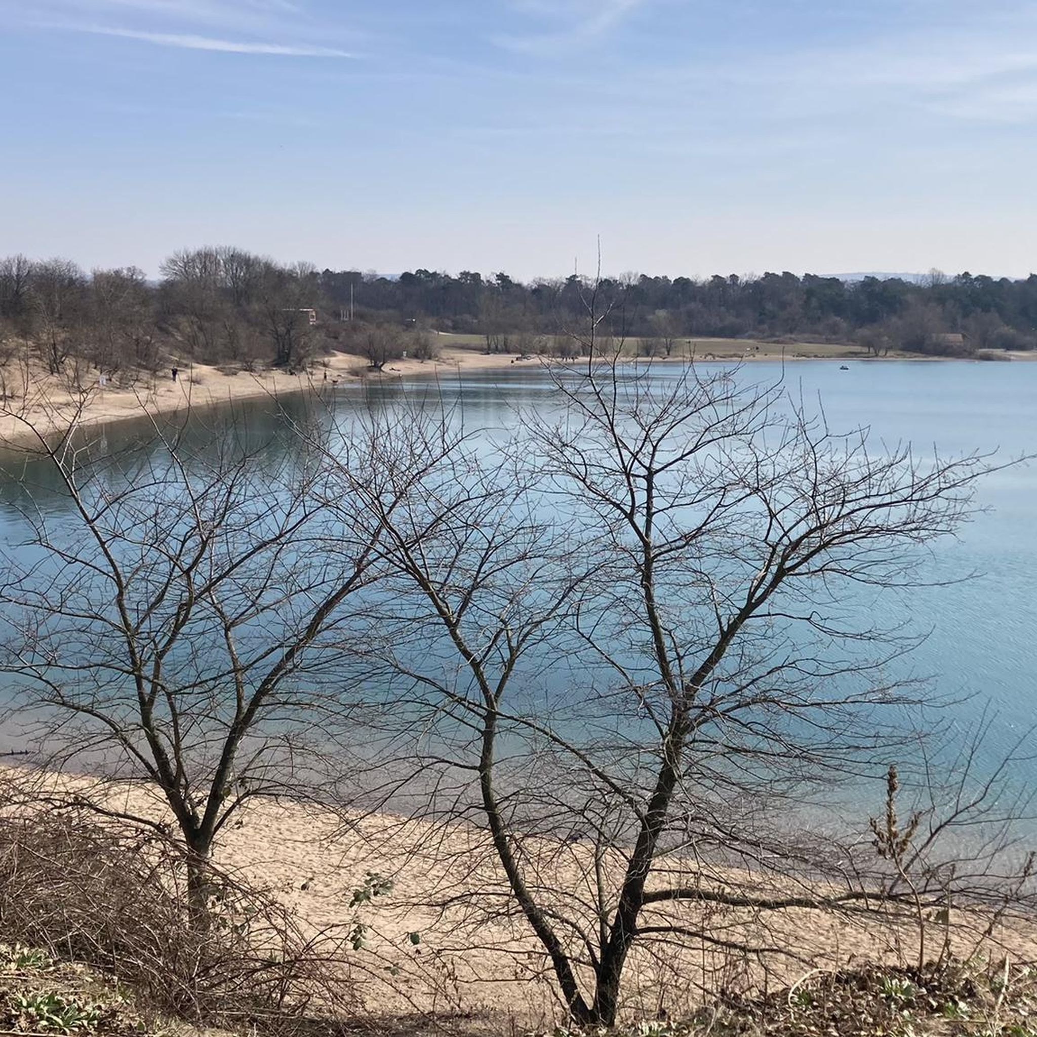
- Mountain biking around Rheinstetten is defined by Rhine meadows, dense forests like Hardtwald, and the Epplesee Lake area. The network offers options for different ability levels, from leisurely rides to more challenging routes.
- The routes in Rheinstetten are highly rated by the komoot community with an average score of 4.7 stars from over 70 reviews. Nearly 400 mountain bikers have used komoot to explore Rheinstetten's varied terrain.
Last updated: July 17, 2026
4.7
(7)
24
riders
Easy mountain bike ride. Great for any fitness level. Suitable for all skill levels.
4.9
(7)
21
riders
Easy mountain bike ride. Great for any fitness level. Suitable for all skill levels.

Sign up for free
5.0
(2)
16
riders
34.6km
02:17
360m
360m
Moderate mountain bike ride. Good fitness required. Suitable for all skill levels.
4.7
(3)
13
riders
Hard mountain bike ride. Great for any fitness level. Advanced riding skills necessary. Some portions of the route may require you to push your bike.
5.0
(2)
10
riders
16.7km
00:59
30m
30m
Moderate mountain bike ride. Great for any fitness level. Advanced riding skills necessary.
Get access to more routes and recommendations from other explorers.
Sign up for free
Already have an account?
Our route recommendations are based on thousands of hikes, rides, and runs completed by other people on komoot.
Start today with a free account
Your next adventure awaits.
Login or Signup
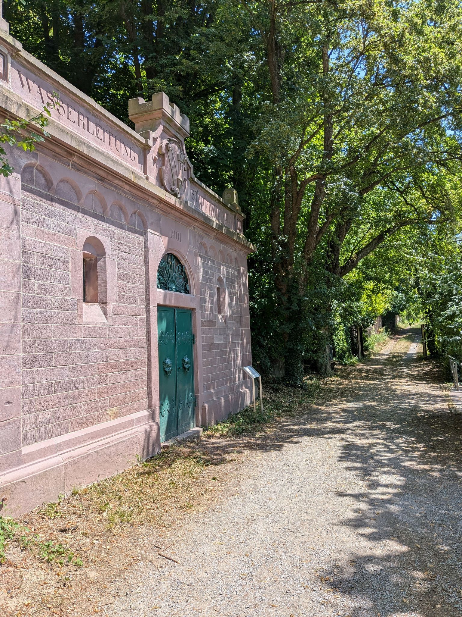
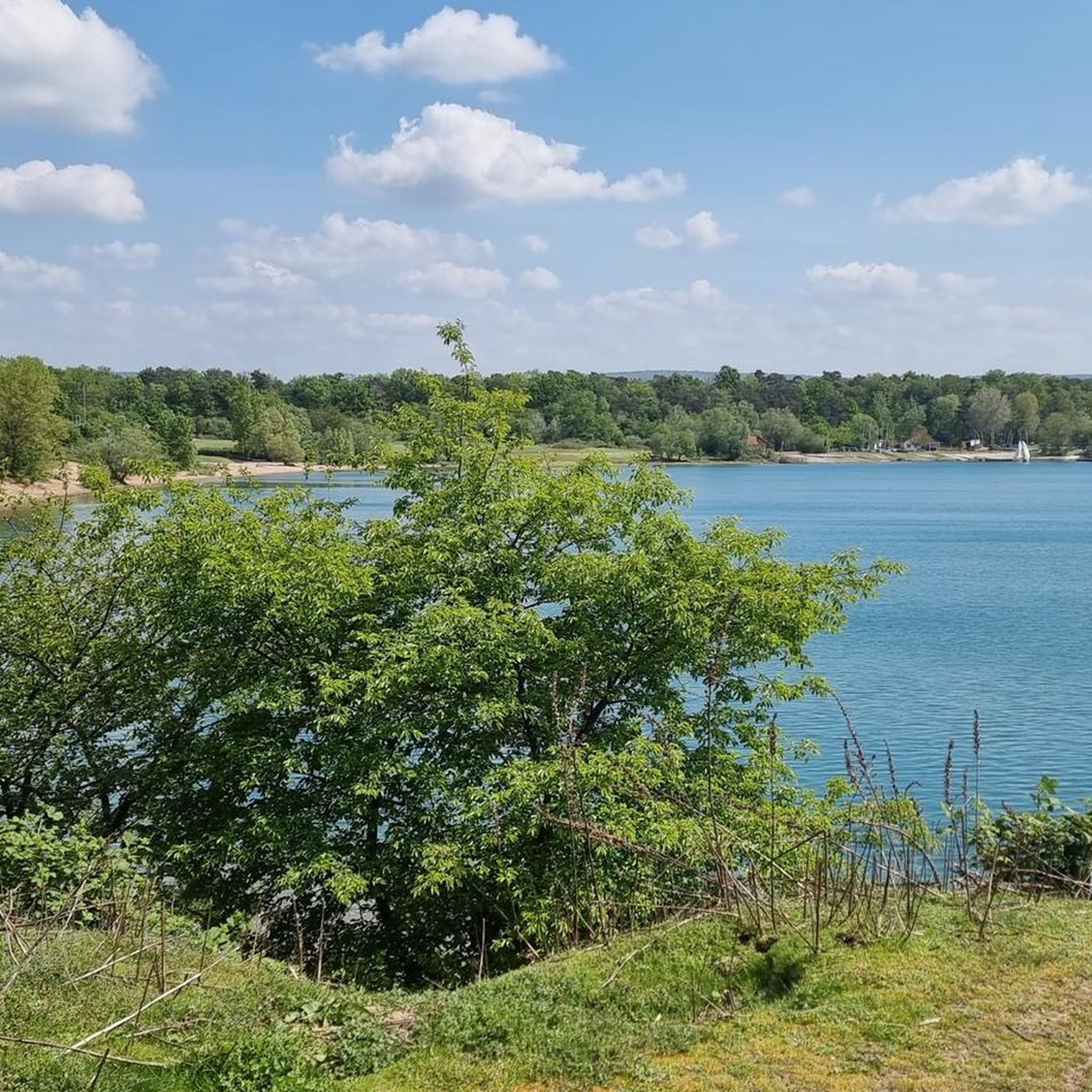
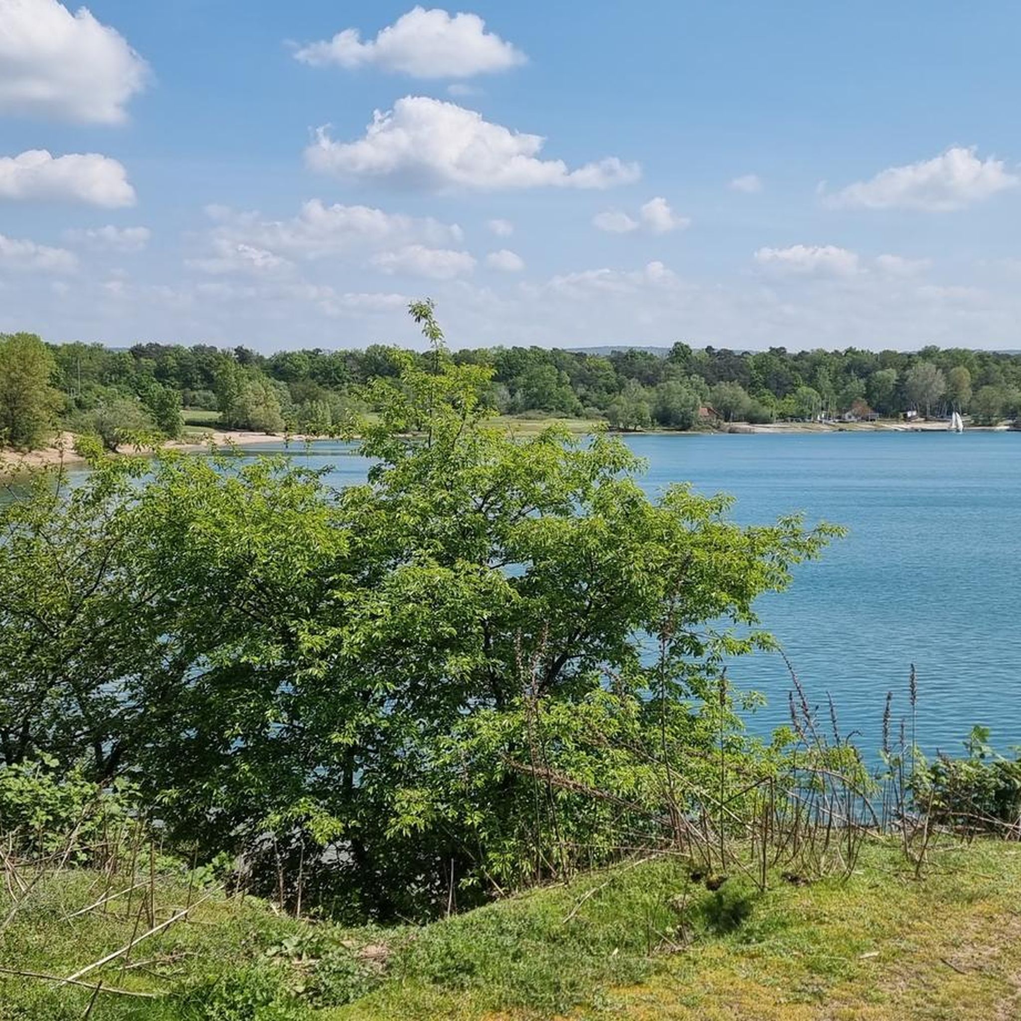
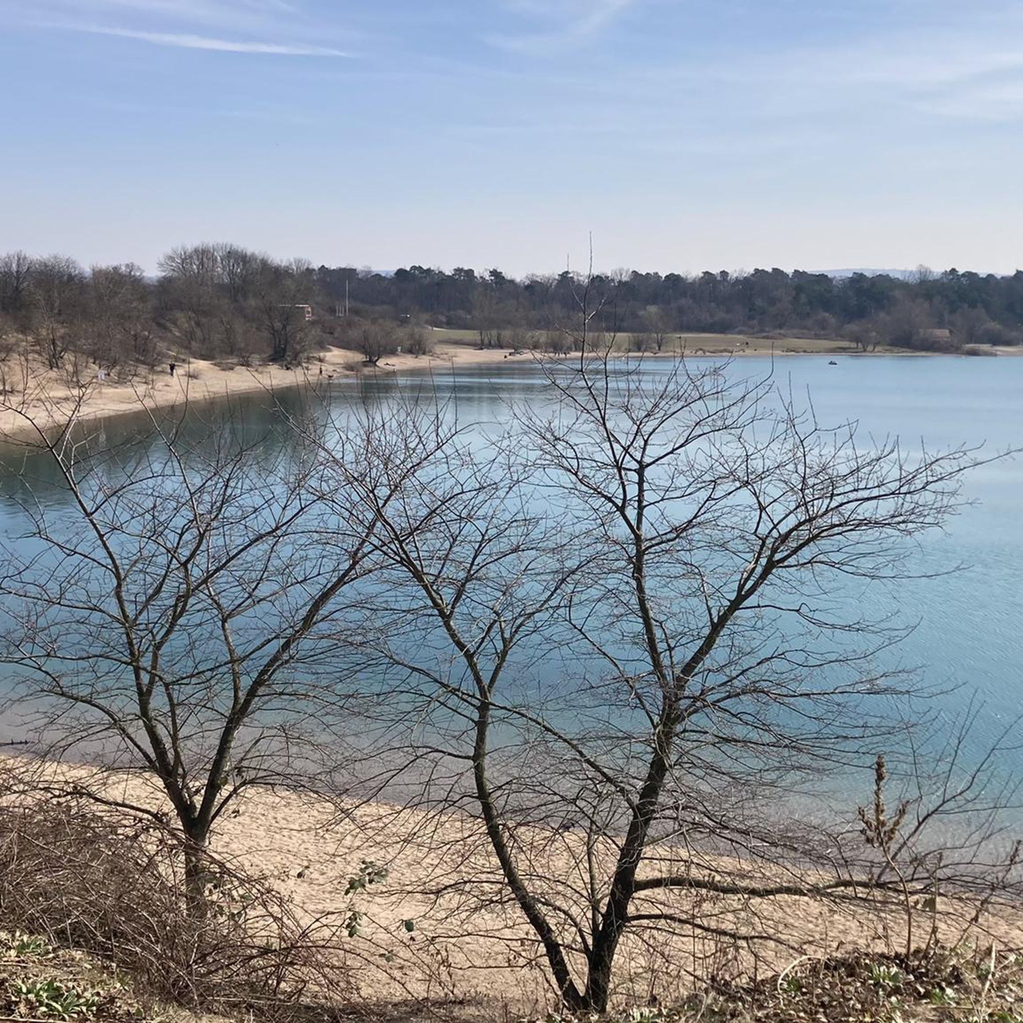
Other adventures around Rheinstetten

Tips from the Community

wonderful for cycling and pausing for sightseeing on the dam and on benches, view of the Daimler Truck plant and the great Rhine bridge
0
0
a mighty classic industrial facility
0
0
Amazonas in miniature format, unbelievable
0
0

One of the few modern churches that I like. This is also due to the stone walls.
0
0

The approximately six-and-a-half-meter-high cross was made from a fallen black locust tree from the Karlsruher Oberwald. It weighs around one ton and had to be erected with the help of a crane. The municipal forest workers created and elaborately decorated it with loving handiwork. The summit cross is held by a roughly four-ton base plate, which gives the structure the necessary stability against storms and gusts.
2
0

You can see towards Karlsruhe through a gap in the trees. Since the viewpoint is not very high, the view is rather unspectacular. There is also a relaxing lounger here.
6
0

A very nice walking path
0
0

Summit cross on the highest point in the Karlsruhe district. This is located at an altitude of 323 meters, not far from the Wettersbach radio tower. The cross, approximately six and a half meters high, was made from a fallen black locust tree from the Karlsruhe Oberwald forest.
8
0
Frequently Asked Questions
How many mountain bike trails are available around Rheinstetten?
There are over 50 mountain bike trails around Rheinstetten, offering a diverse range of experiences. These include routes through Rhine meadows, dense forests like Hardtwald, and around Epplesee Lake.
What are the difficulty levels of mountain bike trails in Rheinstetten?
Rheinstetten offers a good mix of trails for various skill levels. You'll find 32 easy routes, 24 moderate routes, and 1 difficult route, ensuring options for both beginners and more experienced riders.
What kind of landscapes can I expect to see while mountain biking in Rheinstetten?
Mountain biking in Rheinstetten takes you through diverse landscapes, including picturesque Rhine meadows, extensive orchards, and dense woodlands like the Hardtwald and Rheinwald Forest. You'll also encounter the Rhine River and areas around Epplesee Lake.
Are there any family-friendly mountain bike trails in Rheinstetten?
Yes, Rheinstetten offers several family-friendly options, particularly among its 32 easy-rated routes. These trails often feature flatter terrain through forests and along the Rhine meadows, suitable for a relaxed outing with children. A good example is the Fermasee Viewing Platform – View of Epplesee loop from DHL Paketshop, which is an easy 20.9-mile (33.7 km) path exploring the Epplesee area.
What are some notable natural attractions or landmarks along the mountain bike trails?
While riding, you can explore several natural attractions. The Fermasee South Shore is a popular spot, and you might pass through the Federbachbruch Nature Reserve. The region also features the Rhine River itself, with the 'Baden-Palatinate' Rhine ferry offering a unique crossing.
What is the best time of year for mountain biking in Rheinstetten?
The best seasons for mountain biking in Rheinstetten are spring and autumn. During these times, you'll experience pleasant temperatures and vibrant natural scenery, enhancing your riding experience through the forests and meadows.
Are there any mountain bike trails that offer scenic viewpoints?
Yes, some routes provide excellent scenic viewpoints. For instance, the Green trail with views – Carl-Schöpf Hut loop from Rheinstetten is a 21.5-mile (34.6 km) trail specifically noted for leading through varied terrain with scenic viewpoints.
Can I find loop trails for mountain biking in Rheinstetten?
Many of the mountain bike routes in Rheinstetten are designed as loops, allowing you to start and finish at the same point. For example, the Rhine Cycle Path near Palatinate – View of Neuburg am Rhein loop from Forchheim (b Karlsruhe) is a popular 29.4-mile (47.3 km) loop offering views along the Rhine.
What do other mountain bikers say about the trails in Rheinstetten?
The mountain bike trails in Rheinstetten are highly rated by the komoot community, with an average score of 4.7 stars from over 70 reviews. Reviewers often praise the varied terrain, the beautiful natural surroundings, and the well-maintained paths through forests and along the Rhine.
Are there any longer, more challenging mountain bike routes that extend beyond Rheinstetten?
For those seeking longer and more challenging rides, routes like the Panoramic View of Bernbach – Ettlingen Old Town and Castle loop from Forchheim (b Karlsruhe) extend into the broader region. This 32.9-mile (52.9 km) moderate route includes significant elevation gain and offers a more extensive exploration, including the charming Ettlingen Old Town.
Where can I find information about public transport access to mountain bike trails in Rheinstetten?
Rheinstetten is well-connected, and public transport options are available to reach various starting points for mountain bike trails. For detailed information on specific routes and their accessibility by public transport, it's best to check local transport schedules or the route descriptions on komoot for individual tours.
Are there any trails near water bodies like lakes or rivers?
Yes, Rheinstetten is situated near the Rhine River and features routes around Epplesee Lake. The Gold Canal – Sandy Beach at Goldkanal loop from Rheinstetten is a 23.1-mile (37.2 km) route that takes you along the Gold Canal and past its sandy beach, offering a pleasant ride by the water.
Most popular routes around Rheinstetten
Most popular attractions around Rheinstetten

Get inspired with the komoot mobile app


Explore more
Browse the best MTB trails in other regions.
