The best walks and hikes around Villafranca In Lunigiana
4.4
(564)
3,037
hikers
31
hikes
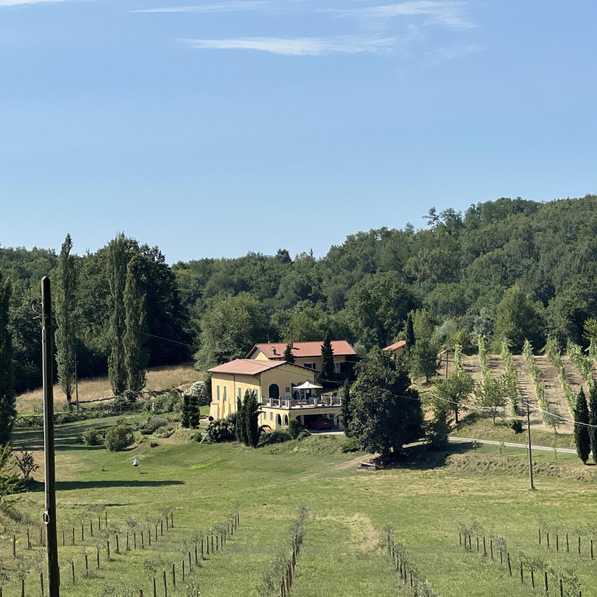
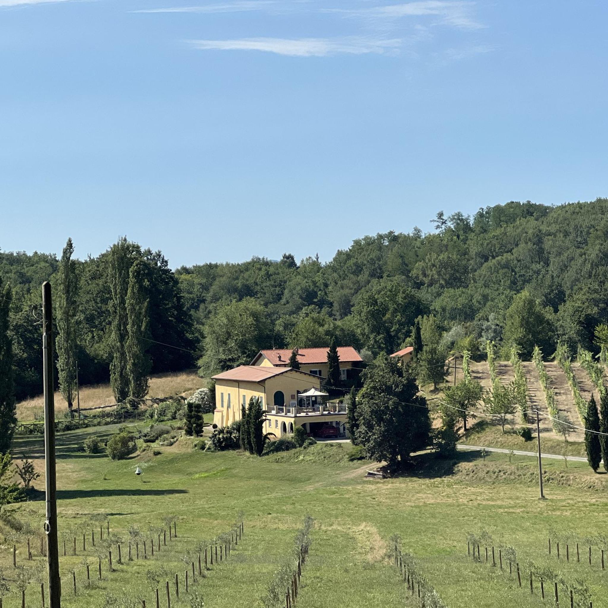
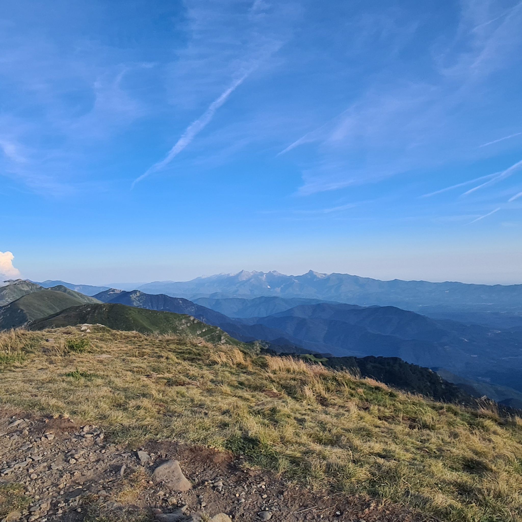
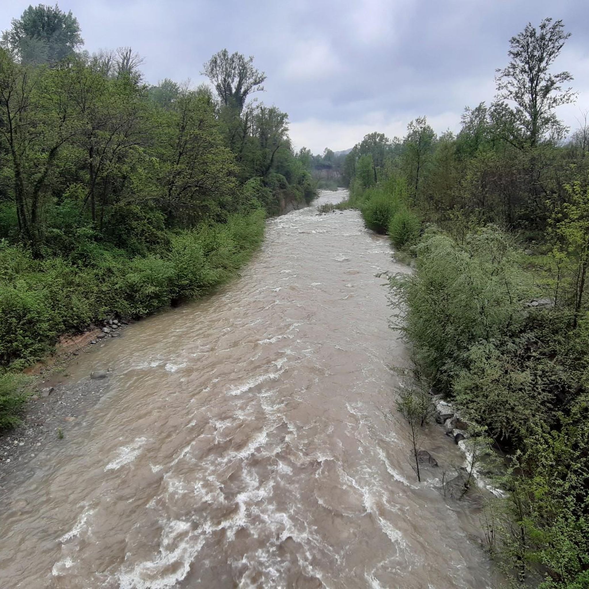
Hiking around Villafranca In Lunigiana offers access to diverse natural landscapes, situated between the Apennine and Apuan Alps mountain ranges. The region is characterized by mountainous terrain, serene river valleys formed by the Magra River and its tributaries, and ancient forests including chestnut groves. This area is part of the Tuscan-Emilian Apennine National Park and the Apuan Alps Regional Park, providing a network of trails that often follow historic routes.
Best hiking trails around Villafranca In Lunigiana
- The most popular…
Last updated: July 22, 2026
4.2
(16)
63
hikers
24.1km
06:46
480m
480m
Hard hike. Very good fitness required. Easily-accessible paths. Suitable for all skill levels.
4.0
(7)
25
hikers
2.75km
00:57
150m
150m
Easy hike. Great for any fitness level. Easily-accessible paths. Suitable for all skill levels.

Sign up for free
4.7
(3)
34
hikers
Moderate hike. Good fitness required. Easily-accessible paths. Suitable for all skill levels.
4.4
(8)
17
hikers
Easy hike. Great for any fitness level. Easily-accessible paths. Suitable for all skill levels.
4.3
(18)
82
hikers
Hard hike. Very good fitness required. Easily-accessible paths. Suitable for all skill levels.
Get access to more routes and recommendations from other explorers.
Sign up for free
Already have an account?
Our route recommendations are based on thousands of hikes, rides, and runs completed by other people on komoot.
Start today with a free account
Your next adventure awaits.
Login or Signup

Tips from the Community

Very beautiful village, worth seeing
0
0

Beautiful village in the heart of Lunigiana
0
0

Starting point of stage 24 of the Via Francigena
0
0

Bagnone Castle is located on the highest hill and is clearly visible as soon as you enter the town. It is dominated by an imposing cylindrical stone tower, crowned by corbels of the plumbing system with archers and larger openings framed by frames. The tower remains the only surviving structure of the castle, which has now completely disappeared and is partly incorporated into smaller buildings of the villa of the Counts Ruschi-Noceti. The castle is privately owned and cannot be visited.
1
0

The village of Filetto is surrounded by walls with a perfect quadrangular shape.
0
0

The small medieval village of Filetto is known as the most original village in the whole of Lunigiana, due to its quadrilateral urban shape, which has remained unchanged over the centuries. Of great beauty and interest are the parade ground, the towers, the walls, the monumental sixteenth-century doors that enclose the village, the elegant portals of the houses facing the central street.
4
0

Characteristic bridge in the municipality of Bagnone in the province of Massa-Carrara. In the upper Lunigiana, the municipality of Bagnone is part of the Tuscan-Emilian Apennines National Park
0
0

Great tour to cool off in hot weather. Path not suitable for prams and the like, sometimes quite narrow but very worthwhile. Bathing shoes are useful. After 4 months of drought and 35 degrees of heat, the waterfall was still splashing beautifully.
0
1
Frequently Asked Questions
How many hiking trails are available around Villafranca in Lunigiana?
There are nearly 30 hiking trails around Villafranca in Lunigiana, offering a diverse range of options. You'll find 15 easy routes, 8 moderate trails, and 6 more challenging hikes, catering to various fitness levels.
Are there any easy, family-friendly walks in the area?
Yes, Villafranca in Lunigiana offers several easy routes suitable for families. For instance, the Bridge over the Bagnone Stream – Historic Village of Filetto loop from Villafranca-Bagnone is an easy 4.4-mile (7.1 km) path that explores the riverine environment and leads to the charming historic village of Filetto.
Can I find trails with waterfalls near Villafranca in Lunigiana?
Absolutely. The region is known for its picturesque waterfalls. You can explore routes that pass by natural features like the Monia Waterfall and the Canale Trauri waterfalls. An example is the easy Waterfall at the Mill Ruin loop from Biglio, which is a 1.7-mile (2.7 km) hike.
Are there any circular hiking routes available?
Yes, many trails around Villafranca in Lunigiana are circular, allowing you to start and end in the same location. The Castello di Virgoletta – Bridge over the Bagnone Stream loop from Villafranca in Lunigiana is an easy 4.1-mile (6.6 km) loop that takes you through varied terrain and past the Castello di Virgoletta.
What kind of historical or cultural landmarks can I see while hiking?
Hiking in Villafranca in Lunigiana often leads to significant historical and cultural sites. You can encounter medieval villages like Filetto, explore the ruins of the Malnido Castle (which once hosted Dante Alighieri), or visit the Ethnographic Museum of Lunigiana. The Via Francigena Trail Signpost – Waterfall and Stone Bridge loop from Fornoli follows a section of the historic Via Francigena, an ancient pilgrimage route.
Are there any challenging hikes for experienced trekkers?
Yes, for experienced hikers, there are more challenging options. The region's mountainous terrain, stretching towards the Apennines and Apuan Alps, offers difficult routes. The Via Francigena Trail Signpost – Waterfall and Stone Bridge loop from Fornoli is a difficult 14.8-mile (23.8 km) trail that takes about 6 hours 41 minutes to complete, featuring significant elevation changes.
What natural features will I encounter on the trails?
The trails in Villafranca in Lunigiana showcase diverse natural beauty. You'll hike through ancient forests, including chestnut groves, and along serene river valleys formed by the Magra River and its tributaries like the Bagnone stream. The area is also part of the Tuscan-Emilian Apennine National Park and the Apuan Alps Regional Park, ensuring pristine environments and rich biodiversity.
What do other hikers enjoy most about hiking in Villafranca in Lunigiana?
The area is highly rated by the komoot community, with an average score of 4.4 stars from over 500 reviews. Hikers often praise the blend of natural beauty, from river valleys to mountainous views, and the opportunity to discover historic villages and landmarks along well-maintained paths.
Are there any notable peaks or viewpoints accessible from the trails?
Yes, the region offers several peaks and viewpoints. While hiking, you might encounter stunning vistas from locations such as Mount Sillara, Statue of the Madonna on Monte Orsaro, or the Summit of Monte Bosta. These offer panoramic views of the surrounding landscapes, including the Magra valley.
Is it possible to hike along ancient pilgrimage routes in this area?
Yes, the historic Via Francigena pilgrimage route passes directly through Villafranca in Lunigiana. You can follow sections of this ancient path, which often uses mule tracks and woods alongside the Magra River, connecting well-preserved medieval villages. The Grand Italian Trail (Sentiero Italia) also crosses the Lunigiana territory, offering longer itineraries.
What is the best time of year to hike in Villafranca in Lunigiana?
The spring and autumn months generally offer the most pleasant hiking conditions, with mild temperatures and vibrant natural colors. Summer can also be enjoyable, especially on trails that pass through ancient forests and chestnut groves, which provide welcome shade. Always check local weather conditions before heading out.
Are there any protected natural areas to explore?
Yes, Villafranca in Lunigiana is strategically located near significant protected areas. It's nestled between the Tuscan-Emilian Apennine National Park (a UNESCO Biosphere Reserve) and the Apuan Alps Regional Park (a UNESCO Global Geopark). The Magra River and its tributaries also form protected natural areas (ANPILs) rich in biodiversity, where you can spot various bird species.
Most popular routes around Villafranca In Lunigiana
Most popular attractions around Villafranca In Lunigiana

Get inspired with the komoot mobile app


Explore more
Browse the best Hikes in other regions.
