The best road cycling routes around Roccavione
4.5
(467)
18,163
riders
254
rides
Road cycling around Roccavione offers a diverse landscape characterized by challenging alpine passes, scenic river valleys, and significant elevation gains. The region, situated in the Stura Valley, provides routes that traverse mountainous terrain, including ascents towards high-altitude cols. Road cyclists can expect varied gradients and panoramic views across the Piedmontese Alps.
Best road cycling routes around Roccavione
- The most popular road cycling route is Col de la Lombarde – Stura Valley loop from Borgo San Dalmazzo, a 66.6 miles…
Last updated: July 28, 2026
4.9
(15)
765
riders
107km
06:04
2,290m
2,290m
Hard road ride. Very good fitness required. Mostly well-paved surfaces and easy to ride.
4.5
(4)
423
riders
79.9km
04:19
1,460m
1,460m
Hard road ride. Very good fitness required. Mostly well-paved surfaces and easy to ride.

Sign up for free
4.6
(7)
202
riders
92.1km
04:45
1,470m
1,470m
Hard road ride. Very good fitness required. Some segments of this route may be unpaved and difficult to ride.
5.0
(3)
177
riders
65.5km
03:42
1,350m
1,350m
Hard road ride. Very good fitness required. Mostly well-paved surfaces and easy to ride.
4.7
(15)
406
riders
70.8km
03:27
840m
840m
Moderate road ride. Good fitness required. Mostly well-paved surfaces and easy to ride.
Get access to more routes and recommendations from other explorers.
Sign up for free
Already have an account?
Our route recommendations are based on thousands of hikes, rides, and runs completed by other people on komoot.
Start today with a free account
Your next adventure awaits.
Login or Signup
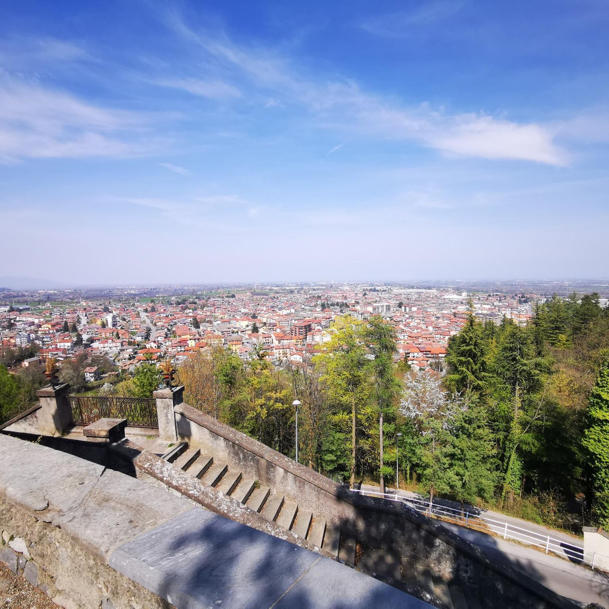
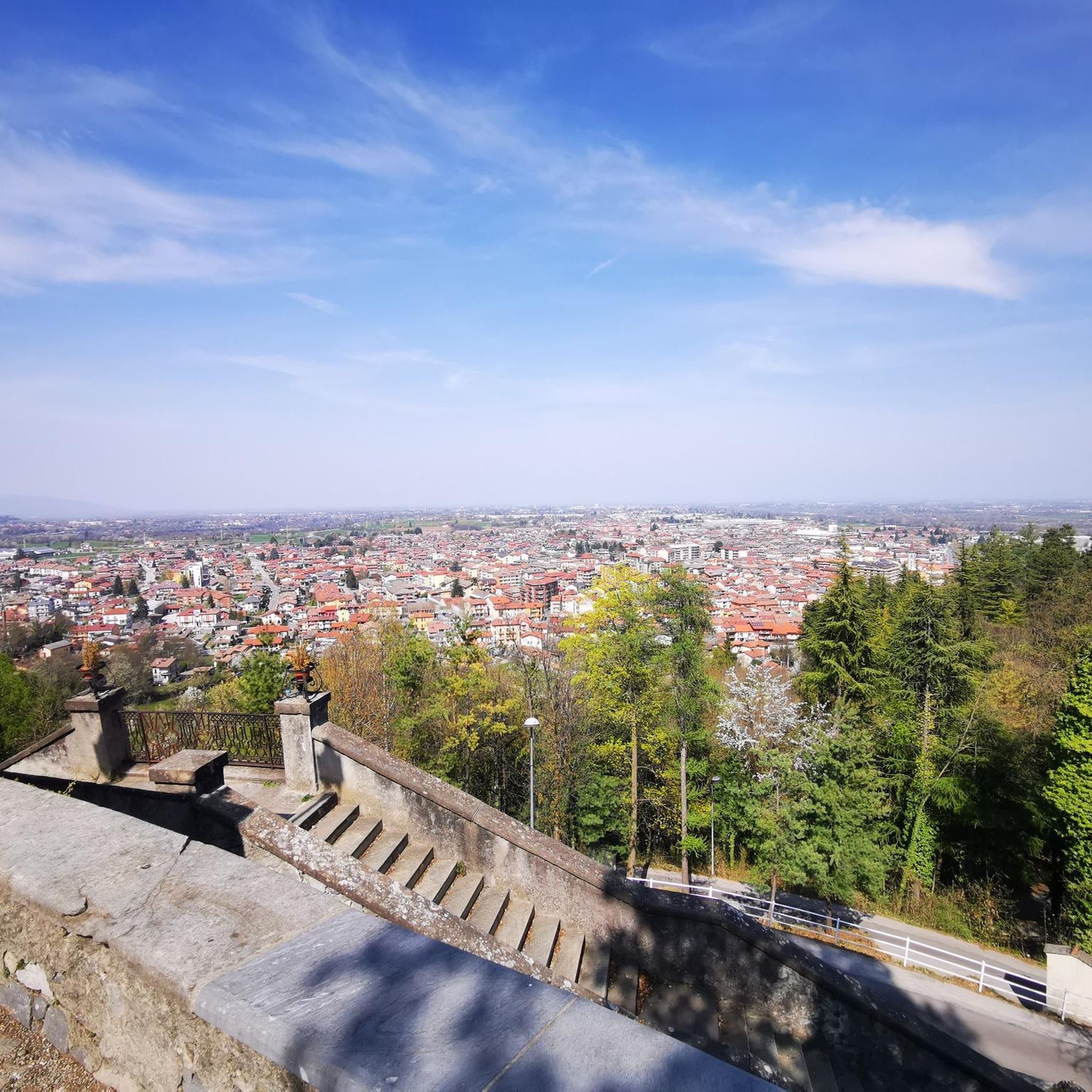

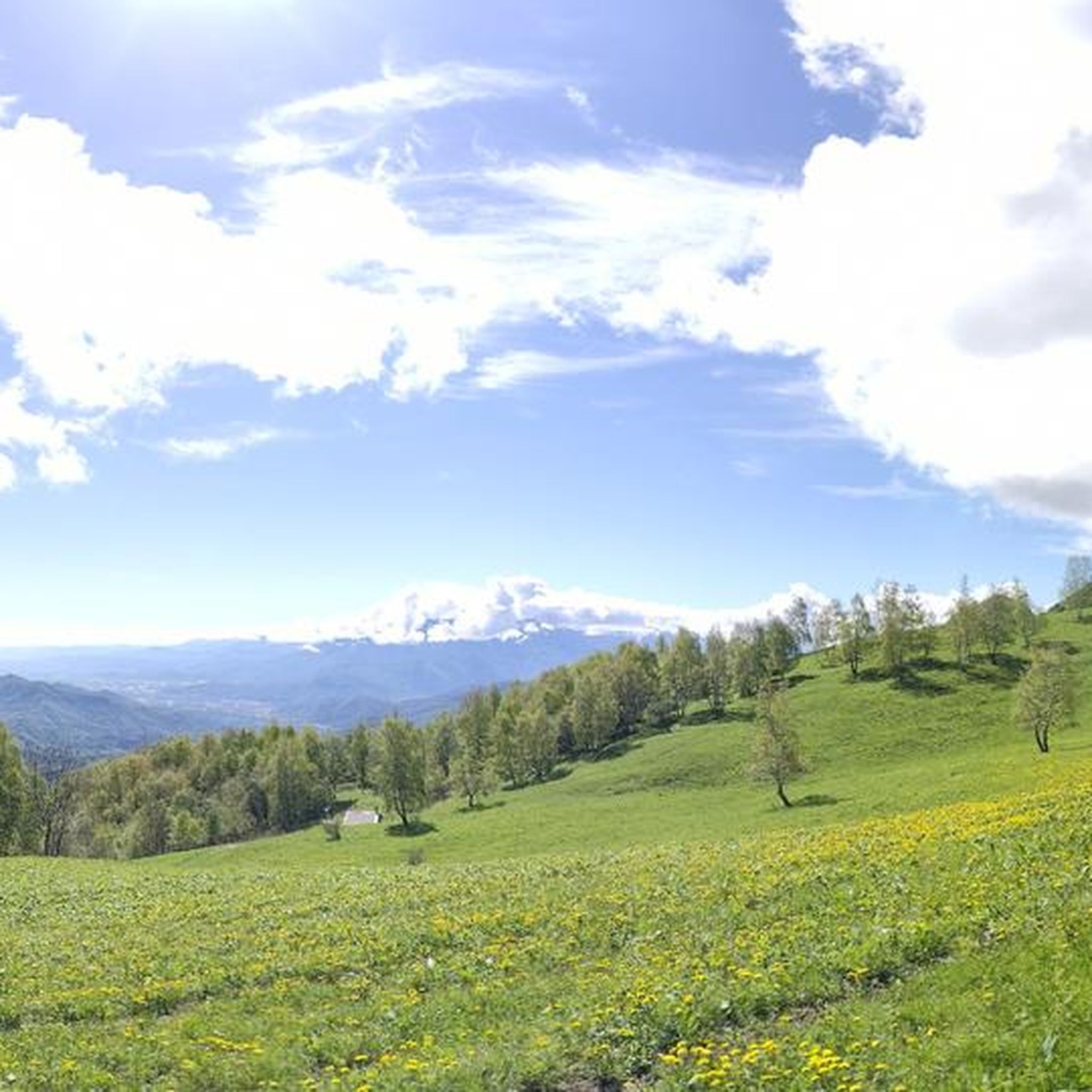
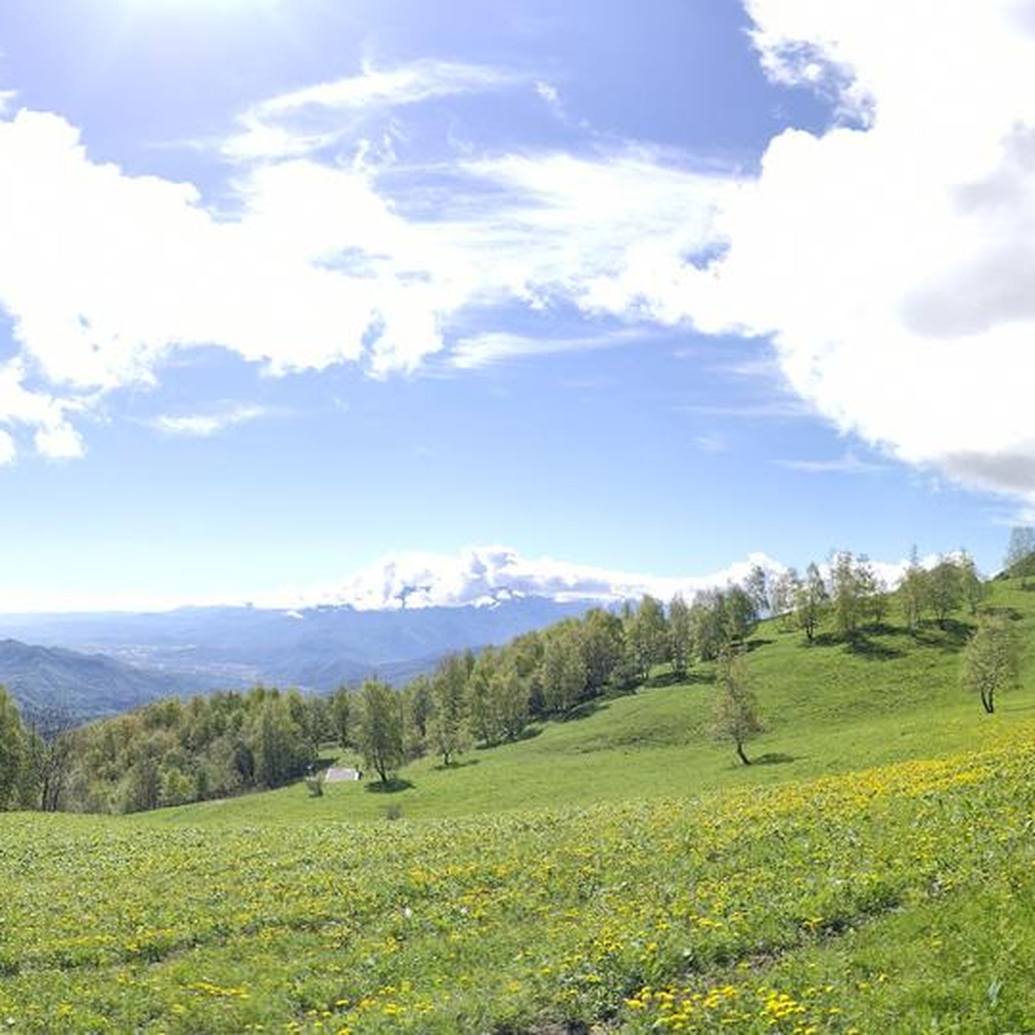
Tips from the Community

Cycle-pedestrian road, very pleasant to cycle on as an alternative to the main road. It rightly passes through the woods, which often obstruct the view.
0
0
Part of the old military road of the Stura Valley, in this segment it is particularly picturesque.
0
0
Built in the 19th century to block potential French invasions, and never used in that sense, it remains a beautiful example of military architecture, which has given its current identity to the town of Vinadio (which also has other points of interest). A visit is mandatory.
0
0
The Forte Albertino of Vinadio was built in the 19th century to block potential French invasions - but it was never used for that. The imposing structures, which have given the town its identity, remain.
0
0
A country centered on its fort, but which also reveals other beauties worth seeking out deliberately.
0
0
Source of fresh drinking water (as the name suggests, "Fontana Fredda" in Italian), next to the provincial road 333, right at the beginning just after leaving Campomolino. Interesting, and useful. For those who don't trust the potability too much, in the village of Campomolino there is a more "modern" fountain - but I suspect it relies on the same source...
0
0
Beautiful road segment connecting Vallera to Valgrana, passing at the foot of the mountain through woods and real green tunnels.
0
0
Mill in the village of Valgrana, by the side of the provincial road. Easy to miss when driving by, but clearly visible when cycling or walking. The wheel is well preserved and has a nice effect.
0
0
Frequently Asked Questions
How many road cycling routes are available around Roccavione?
There are over 225 road cycling routes around Roccavione, offering a wide range of options from easy to difficult, catering to various skill levels.
What types of terrain can I expect on road cycling routes in Roccavione?
Road cycling around Roccavione is characterized by diverse terrain, including challenging alpine passes, scenic river valleys, and significant elevation gains. Routes often traverse mountainous areas, providing varied gradients and panoramic views across the Piedmontese Alps.
Are there any easy or beginner-friendly road cycling routes in Roccavione?
Yes, Roccavione offers a selection of easier routes. Out of the 225 available, 48 are classified as easy, making them suitable for beginners or those looking for a less strenuous ride.
What are some challenging road cycling routes for experienced riders?
For experienced riders seeking a challenge, Roccavione has 44 difficult routes. Notable options include the Col de la Lombarde – Stura Valley loop from Borgo San Dalmazzo, which covers 107.1 km with over 2,200 meters of elevation, and the Stura Valley – Vinadio loop from Borgo San Dalmazzo, a 122.6 km path with substantial climbs.
What is the best time of year for road cycling in Roccavione?
Given the region's alpine passes and mountainous terrain, the best time for road cycling in Roccavione is typically from late spring through early autumn (May to October). During these months, the weather is generally more stable, and higher passes are usually clear of snow.
What can I see along the road cycling routes in Roccavione?
Many routes offer stunning natural beauty and points of interest. You might encounter beautiful lakes such as Lake della Piastra or Rivoira Lake. The region is also home to significant mountain passes and summits like Monte Gelas and the Sanctuary of Madonna del Colletto.
Are there any loop routes for road cycling around Roccavione?
Yes, many of the road cycling routes around Roccavione are designed as loops, allowing you to start and finish at the same point. Examples include the Stura Valley – Monte Gelas loop from Borgo San Dalmazzo and the Palanfré Alpine Village – Colletto del Moro Shrine loop.
What do other road cyclists say about the routes in Roccavione?
The road cycling routes in Roccavione are highly regarded by the komoot community, with an average rating of 4.5 stars from over 550 reviews. Cyclists often praise the challenging climbs, the stunning alpine scenery, and the well-maintained paths through the Stura Valley.
How long do road cycling routes in Roccavione typically take to complete?
Route durations vary significantly based on distance and elevation. For example, the Col de la Lombarde – Stura Valley loop can take around 6 hours, while the Stura Valley – Monte Gelas loop is often completed in about 5 hours and 13 minutes. Shorter, easier routes will naturally take less time.
Are there routes that pass through significant natural landmarks?
Absolutely. Routes often incorporate natural landmarks. For instance, the Stura Valley – Monte Gelas loop leads towards the impressive Monte Gelas, offering spectacular mountain views.
Can I find routes with significant elevation gain for training?
Yes, Roccavione is an excellent region for training with significant elevation gain. Many routes feature substantial climbs, such as the Col de la Lombarde – Stura Valley loop which has over 2,200 meters of ascent, making it ideal for challenging workouts.
Most popular routes around Roccavione
Most popular attractions around Roccavione

Get inspired with the komoot mobile app


Explore more
Browse the best Road cycling routes in other regions.
