The best walks and hikes around Massimino
4.3
(127)
526
hikers
49
hikes
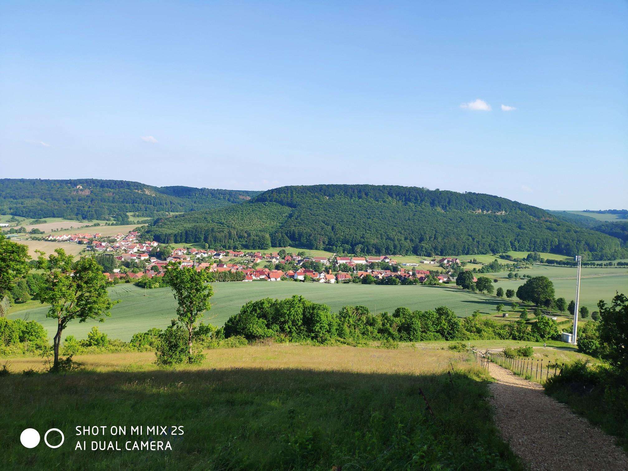
Hiking around Massimino, located in the Province of Savona, Liguria, Italy, presents a varied terrain for outdoor exploration. The region is characterized by pristine beech forests, such as those found near the Bauda Springs, and features waterways like the Rio Nero. Elevated areas and hills, including those part of the "Four-peak traverse," offer panoramic viewpoints and diverse hiking experiences. This Massimino hiking terrain provides options for different ability levels, from moderate forest loops to more strenuous ascents.
Best hiking trails…
Last updated: October 2, 2026
5.0
(2)
4
hikers
11.5km
03:40
450m
450m
Moderate hike. Good fitness required. Mostly accessible paths. Sure-footedness required.
5.0
(1)
6
hikers
9.16km
03:09
490m
490m
Moderate hike. Good fitness required. Easily-accessible paths. Suitable for all skill levels.

3
hikers
15.2km
04:51
650m
650m
Moderate hike. Good fitness required. Easily-accessible paths. Suitable for all skill levels.
2
hikers
Moderate hike. Good fitness required. Easily-accessible paths. Suitable for all skill levels.
1
hikers
9.19km
03:22
580m
590m
Moderate hike. Good fitness required. Easily-accessible paths. Suitable for all skill levels.
Get access to more routes and recommendations from other explorers.
Already have an account?
Our route recommendations are based on thousands of hikes, rides, and runs completed by other people on komoot.
Start today with a free account
Your next adventure awaits.
Frequently Asked Questions
What kind of terrain and landscapes can I expect when hiking around Massimino?
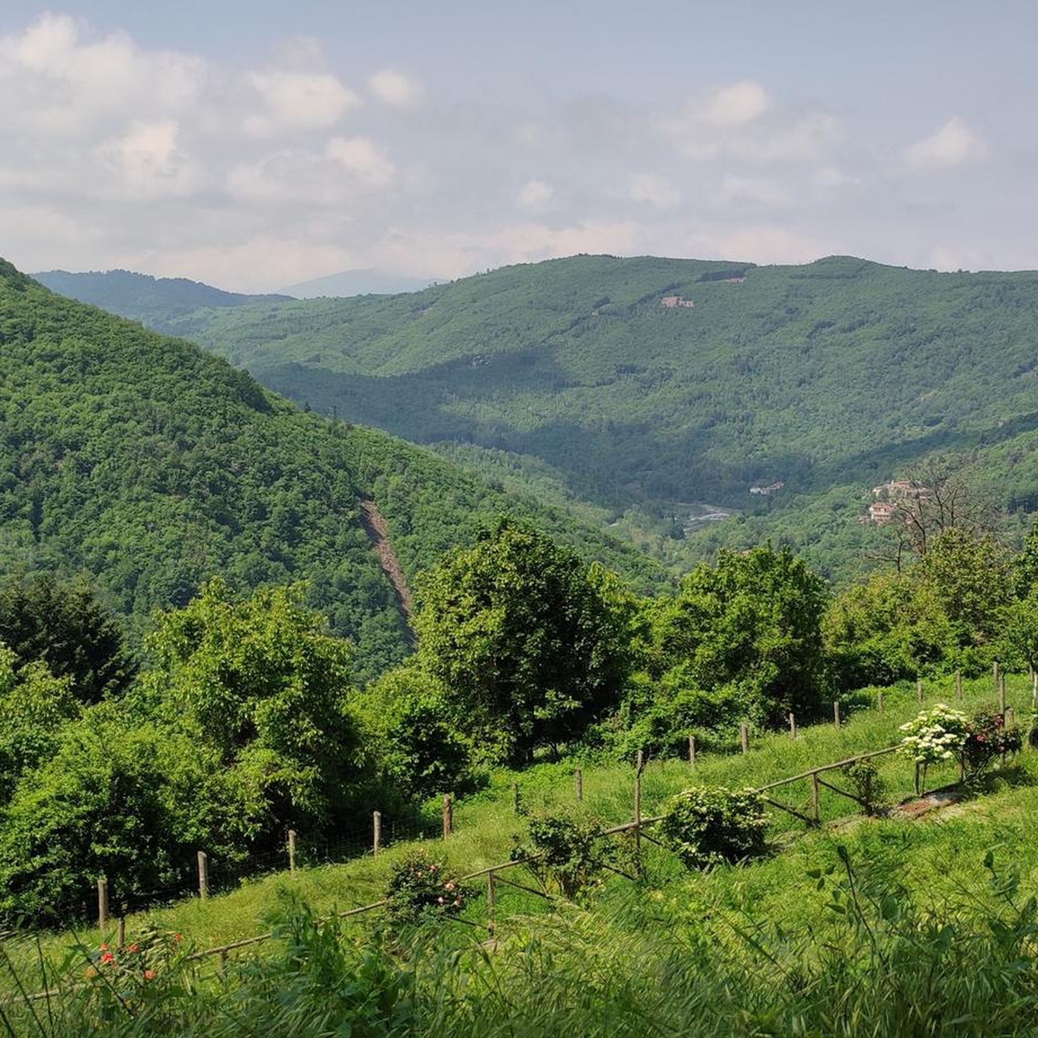
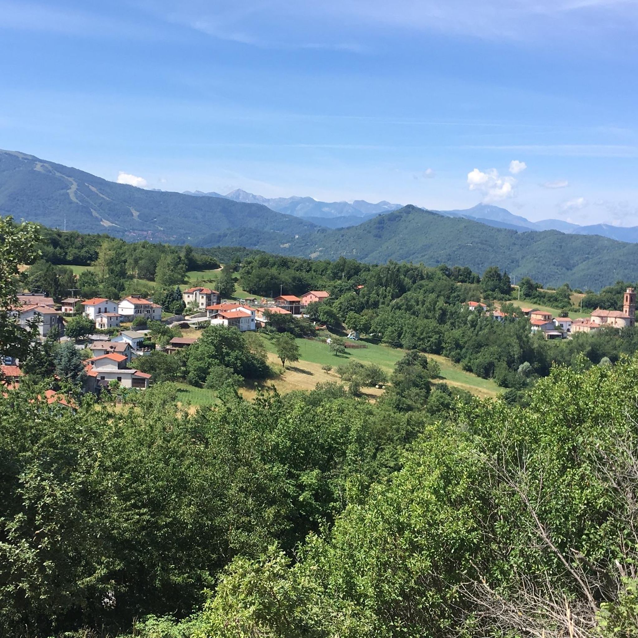
Massimino offers a diverse range of landscapes, from serene, pristine beech forests, particularly around the Bauda Springs Loop, to trails that follow waterways like the Rio Nero. You'll also find elevated and hilly terrain, such as those encountered on the Four-peak traverse, providing rewarding vistas.
How many hiking trails are available in the Massimino area?
There are over 40 hiking routes available around Massimino, catering to various skill levels. This includes 8 easy trails, 31 moderate trails, and 4 difficult trails for more experienced hikers.
Are there any family-friendly hiking options in Massimino?
Yes, Massimino offers several easy and moderate trails suitable for families. While specific 'family-friendly' designations aren't always explicit, routes with lower elevation gains and shorter distances, like some of the 8 easy trails available, are generally good choices. Always check the route details for specific suitability.
What are some notable natural features or landmarks to look out for on Massimino's trails?
Hikers can explore the clear waters of the Bauda Springs, traverse through ancient beech forests, or follow the course of the Rio Nero. For those seeking panoramic views, the 'Four-peak traverse' offers significant natural beauty and elevated perspectives. Additionally, you might encounter mountain passes like Colle del Melogno or Colle Quazzo in the surrounding area.
Are there any circular hiking routes around Massimino?
Yes, many of the trails around Massimino are designed as loops, offering convenient circular routes. Examples include the popular Rio Nero Loop Trail and the Bauda Springs Loop, allowing you to start and end at the same point.
What is the typical duration and distance for hikes in Massimino?
Hikes around Massimino vary significantly. For example, the Rio Nero Loop Trail is about 7.1 miles (11.5 km) and takes approximately 3 hours and 40 minutes. Longer routes like the From Bagnasco to Colle di San Giacomo can be over 9 miles (15 km) and take around 4 hours and 50 minutes. There are options for shorter walks and longer treks.
What do other hikers enjoy most about hiking in Massimino?
The hiking routes in Massimino are highly rated by the komoot community, with an average score of 4.3 stars from over 90 reviews. Reviewers often praise the varied terrain, the tranquility of the beech forests, and the rewarding vistas from elevated points, highlighting the diverse and engaging outdoor experience.
Are there any challenging hikes for experienced trekkers?
Yes, for experienced hikers seeking a challenge, there are 4 difficult trails in the Massimino area. The From Nucetto to Perlo via Pilone Perlo Shrine (Trail A54), for instance, is a difficult route covering over 10 miles (16 km) with significant elevation gain, requiring good fitness and sure-footedness.
Can I bring my dog on the hiking trails in Massimino?
While specific regulations for dogs can vary by trail, generally, dogs are welcome on many outdoor trails in the region. It's always recommended to keep your dog on a leash and ensure you follow local guidelines, especially in protected natural areas. Always check individual route descriptions for any specific restrictions.
What is the best time of year to go hiking in Massimino?
Massimino's diverse landscapes can be enjoyed across multiple seasons. Spring and autumn typically offer pleasant temperatures and beautiful scenery, with vibrant foliage in fall. Summer is also popular, though some higher elevation routes might be preferable during warmer months. Winter hiking is possible, but conditions can vary, especially on more challenging or elevated routes, so always check local weather and trail conditions.
Are there opportunities for other outdoor activities besides hiking in Massimino?
Yes, beyond hiking, the Massimino region also supports other outdoor activities such as cycling and mountain biking. There are even dedicated areas like Grollon DH or DH Osiglia Trail for mountain biking enthusiasts, allowing visitors to experience the natural environment in various ways.
Most popular routes around Massimino
Most popular attractions around Massimino

Get inspired with the komoot mobile app


Explore more
Browse the best Hikes in other regions.
