Top 20 Mountain Passes around Pornassio
Best mountain passes around Pornassio are situated within the mountainous Ligurian Alps, offering access to various high-altitude routes. The region is characterized by its rugged terrain and serves as a connection between the Ligurian coast and inland areas. Pornassio is located near significant passes that link different valleys and provide historical and natural points of interest.
Best mountain passes around Pornassio
- The most popular mountain pass is Pas du Tanarel, a mountain pass that connects Val Roia in France…
Last updated: October 27, 2026
Pas du Tanarel
Highlight • Mountain Pass
Showing Translation
Tip by

Alta Via de Sel - gravel road
Highlight (Segment) • Trail
Translated by Google •
Tip by

Sign up now to discover places like this
Get recommendations on the best single tracks, peaks, & plenty of other exciting outdoor places.
Colle d'Oggia
Highlight • Mountain Pass
More information: quaeldich.de/paesse/colle-d-oggia
Translated by Google •
Tip by

Half Moon Pass
Highlight • Mountain Pass
Translated by Google •
Tip by

Garezzo Tunnel
Highlight • Structure
Translated by Google •
Tip by

Sign up for free to discover even more mountain passes around Pornassio.
Already have an account?
Start today with a free account
Your next adventure awaits.

Tips from the Community

The summit point for those who climb from Imperia, passing through the Teglie Pass. Here you finally enter the maze of high altitude military roads, and the salt road. The tunnel is only a few meters long, but it connects two watersheds: the valley of the empire and that of the Argentina torrent. What rains here or there ends up in two different watersheds.
0
0

As Gian Luca wrote, it's best to drive on Thursdays, otherwise you'll just be swallowing road dust from the vehicles that drive on the gravel. https://youtu.be/zjW_mgeyPfk
0
0

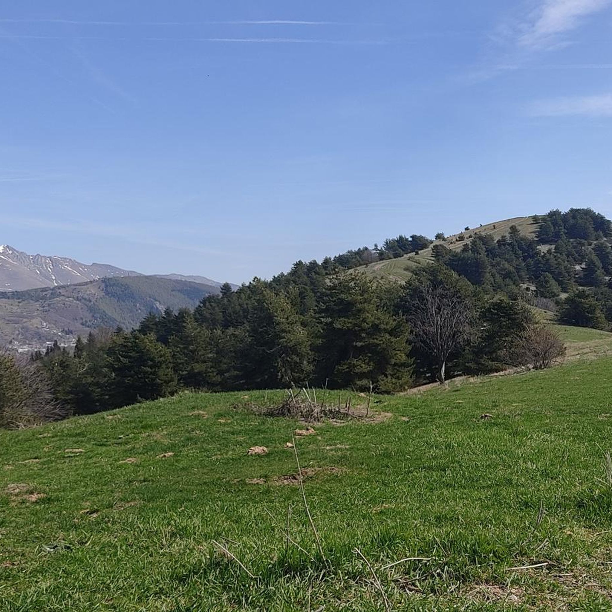
An ancient meeting point for the people of the Rezzo, Impero, and Argentina valleys. From the pass, you can enjoy an incredible view; I recommend using an app to identify the peaks to orient yourself (e.g., PeakFinder, free). This wide, grassy saddle between Mount Arborea and Cima della Donzella is almost certainly the one mentioned several times by Italo Calvino in his novel "The Path to the Spiders' Nest."
3
0
The pass, actually just across the border, is the only way to get from the Monesi valley to the French side and the only cycle path.
4
0

Beautiful pass where you have to decide whether to go towards Monte Monega or Teglia Pass
0
0

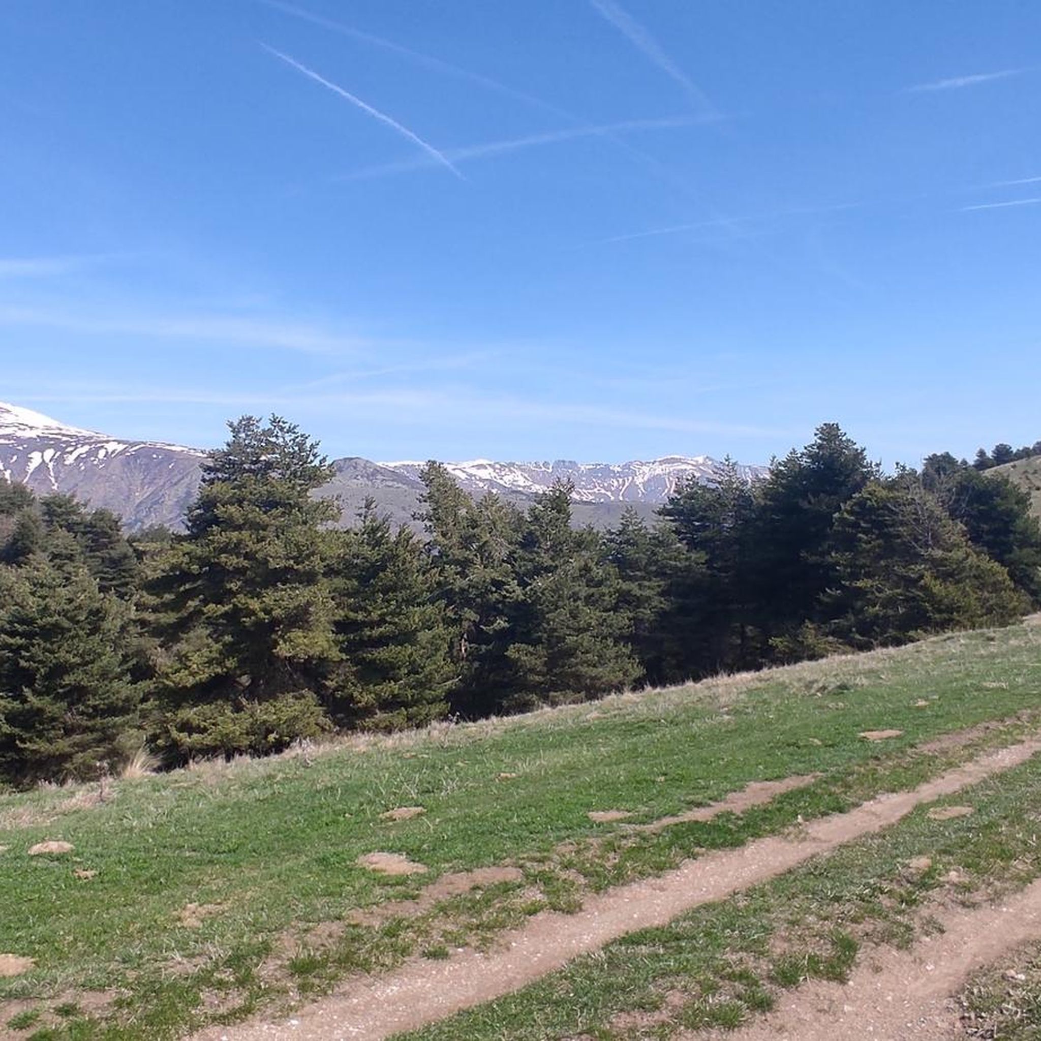
The Tanarello pass rises on the border between Italy and France, at an altitude of 2,045 metres. It connects Val Roia in France with Val Tanaro in Italy. From here you can quickly reach Mount Tanarello and subsequently Mount Saccarello, one of the highest peaks in the area. The area offers dirt roads and trails, all great for running.
2
0
Frequently Asked Questions
What historical sites can be found near the mountain passes around Pornassio?
The region is rich in history. Colle di Nava, for instance, features impressive forts built during the Duchy of Savoy era, with the Central Fort being particularly well-preserved and open to visitors. Evidence of Iron Age settlements and Roman trade routes has also been found here. Additionally, Half Moon Pass is noted as an ancient meeting point for various valley communities, marked by some megalithic works.
What natural features and viewpoints can I expect to see?
The mountain passes offer diverse natural beauty. Colle di Nava is known for its vibrant lavender fields in summer and alpine climate. From Half Moon Pass, you can enjoy incredible panoramic views of the surrounding peaks. Alta Via de Sel - gravel road also provides scenic views, while Colle d'Oggia winds through a beautiful hilly landscape.
Are there hiking trails near the mountain passes around Pornassio?
Yes, the area offers numerous hiking opportunities. The Alta Via dei Monti Liguri, a long-distance trail, passes through the region near Colle di Nava, offering spectacular views. For more specific routes, you can explore guides like Hiking around Pornassio, which includes trails like the 'Anello dei Forti di Nava - Historic Forts Loop' and 'Historic Savoy Fortress Trail (via Route 11)'.
When is the best time to visit the mountain passes around Pornassio?
Summer is a particularly enchanting time, especially for Colle di Nava, where the lavender fields bloom vibrantly. Visitors in early July can experience the annual Lavender Festival. Generally, the alpine climate makes late spring through early autumn ideal for outdoor activities.
What cycling opportunities are available on these mountain passes?
The region provides excellent cycling routes. Alta Via de Sel - gravel road offers challenging rides for mountain biking and is closed to vehicular traffic on specific days (Tuesdays and Thursdays), making it ideal for cyclists. The climb to Colle Caprauna (1175 m) is also a popular and scenic route, with little traffic.
Which mountain passes are located on the Italian-French border?
Pas du Tanarel is a significant mountain pass situated directly on the Italian-French border at an elevation of 2,042 meters. It connects Val Roia in France with Val Tanaro in Italy and provides access to Monte Saccarello, the highest mountain in Liguria.
Are there challenging routes for experienced hikers or cyclists?
Yes, several passes and trails offer a challenge. Pas du Tanarel is a high-altitude pass leading to Monte Saccarello. Alta Via de Sel - gravel road is described as challenging for mountain biking. The climb to Colle d'Oggia involves a difficult 13km ascent to over 1,000 meters. For hiking, guides like Hiking around Pornassio feature difficult routes such as 'From Quarzina to Pizzo d'Ormea'.
Are there places to eat or stay near the mountain passes?
While specific amenities vary by pass, some areas do offer facilities. Near Pas du Tanarel, you can find Rifugio La Terza, where you can stop and spend the night. Along the Alta Via de Sel - gravel road, there are water points at Le Marmotte, Baita 2000, and the Don Barbera Refuge.
What outdoor activities, besides hiking and cycling, can I do near these mountain passes?
Beyond hiking and cycling, the mountainous terrain around Pornassio is suitable for other activities. You can explore guides like Mountain Hikes around Pornassio for mountaineering routes, or Running Trails around Pornassio for jogging and trail running options, such as the 'Cima Ardetta loop'.
What is unique about Colle di Nava?
Colle di Nava is a significant pass known for its strategic historical importance, connecting the Ligurian coast and Piedmont. It features well-preserved forts, including the Central Fort, and is famous for its beautiful lavender fields that bloom in summer. The pass also hosts a Lavender Festival in early July and offers various recreational activities like hiking, with trails leading to scenic viewpoints and other forts.
Are the mountain passes around Pornassio suitable for families or dog-friendly?
While specific family-friendly or dog-friendly designations are not always explicit for every pass, many trails in the Ligurian Alps are generally accessible for families with older children and well-behaved dogs, especially on less strenuous sections. Always check local regulations for specific trails regarding dogs. The natural beauty and historical sites, like the forts near Colle di Nava, can be engaging for families.
What is the elevation of the mountain passes in the region?
The elevations vary significantly across the region's passes. Colle di Nava is situated at an elevation of 934 meters. Pas du Tanarel is much higher, at 2,042 meters above sea level. Colle d'Oggia involves a climb leading to an altitude above 1,000 meters, and Colle Caprauna reaches 1,175 meters.
Most popular attractions around Pornassio

Get inspired with the komoot mobile app


Explore more
See even more epic mountain passes by checking out these guides around Pornassio:
