The best walks and hikes around Aurigo
4.6
(2268)
7,362
hikers
238
hikes
Hiking around Aurigo, located in Liguria, Italy, offers a variety of trails through a landscape characterized by hills, valleys, and historic pathways. The region features routes that traverse areas with stone bridges and offer views of the surrounding valleys. Elevations vary, with some trails leading to peaks like Pizzo Binelli at 737 meters. This terrain provides diverse options for outdoor activities.
Best hiking trails around Aurigo
- The most popular hiking route is Medieval Stone Bridges Trail from Rezzo, an 8.0 miles (13.0 km) trail that takes about 4 hours to complete. This moderate route explores historical pathways and features stone bridges.
- Another top favourite among local hikers is Rezzo Loop Trail, a difficult 9.4 miles (15.2 km) path. This challenging loop offers extensive views and varied terrain.
- Local hikers also love the Strada Reale Trail, a 5.4 miles (8.7 km) trail leading through historic landscapes, often completed in about 3 hours.
- Hiking around Aurigo is defined by historic trails, valley views, and varied elevations, including hills and moderate mountains. The network offers options for different ability levels, from easy walks to difficult ascents.
- The routes in Aurigo are highly rated by the komoot community with an average score of 4.6 stars from over 1900 reviews. More than 6600 hikers have used komoot to explore Aurigo's varied terrain.
Last updated: July 13, 2026
4.5
(12)
41
hikers
4.55km
01:23
160m
160m
Easy hike. Great for any fitness level. Easily-accessible paths. Suitable for all skill levels.
4.3
(7)
24
hikers
19.2km
06:11
700m
700m
Hard hike. Very good fitness required. Mostly accessible paths. Sure-footedness required.

Sign up for free
4.7
(10)
24
hikers
16.8km
05:22
630m
630m
Hard hike. Very good fitness required. Mostly accessible paths. Sure-footedness required.
4.5
(2)
18
hikers
12.9km
03:52
390m
390m
Moderate hike. Good fitness required. Easily-accessible paths. Suitable for all skill levels.
4.0
(3)
12
hikers
3.53km
01:03
110m
100m
Easy hike. Great for any fitness level. Easily-accessible paths. Suitable for all skill levels.
Get access to more routes and recommendations from other explorers.
Sign up for free
Already have an account?
Our route recommendations are based on thousands of hikes, rides, and runs completed by other people on komoot.
Start today with a free account
Your next adventure awaits.
Login or Signup
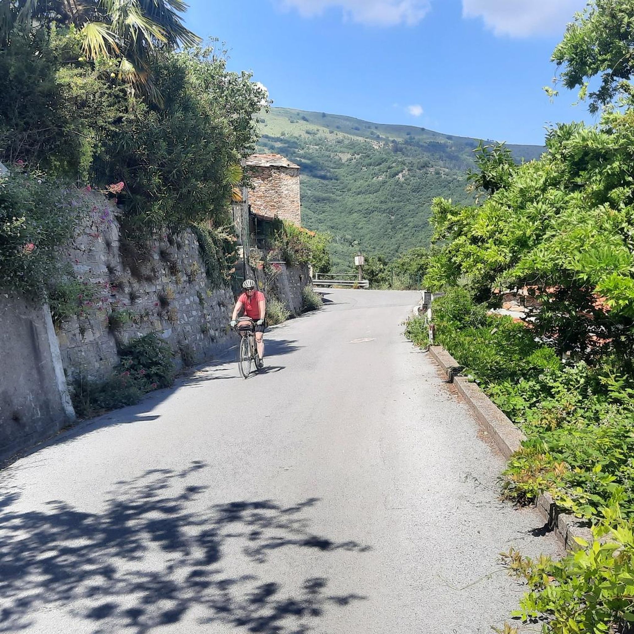
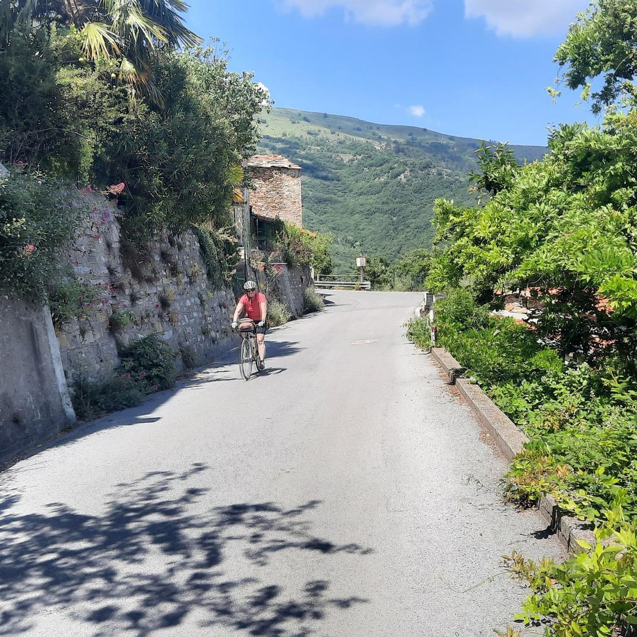
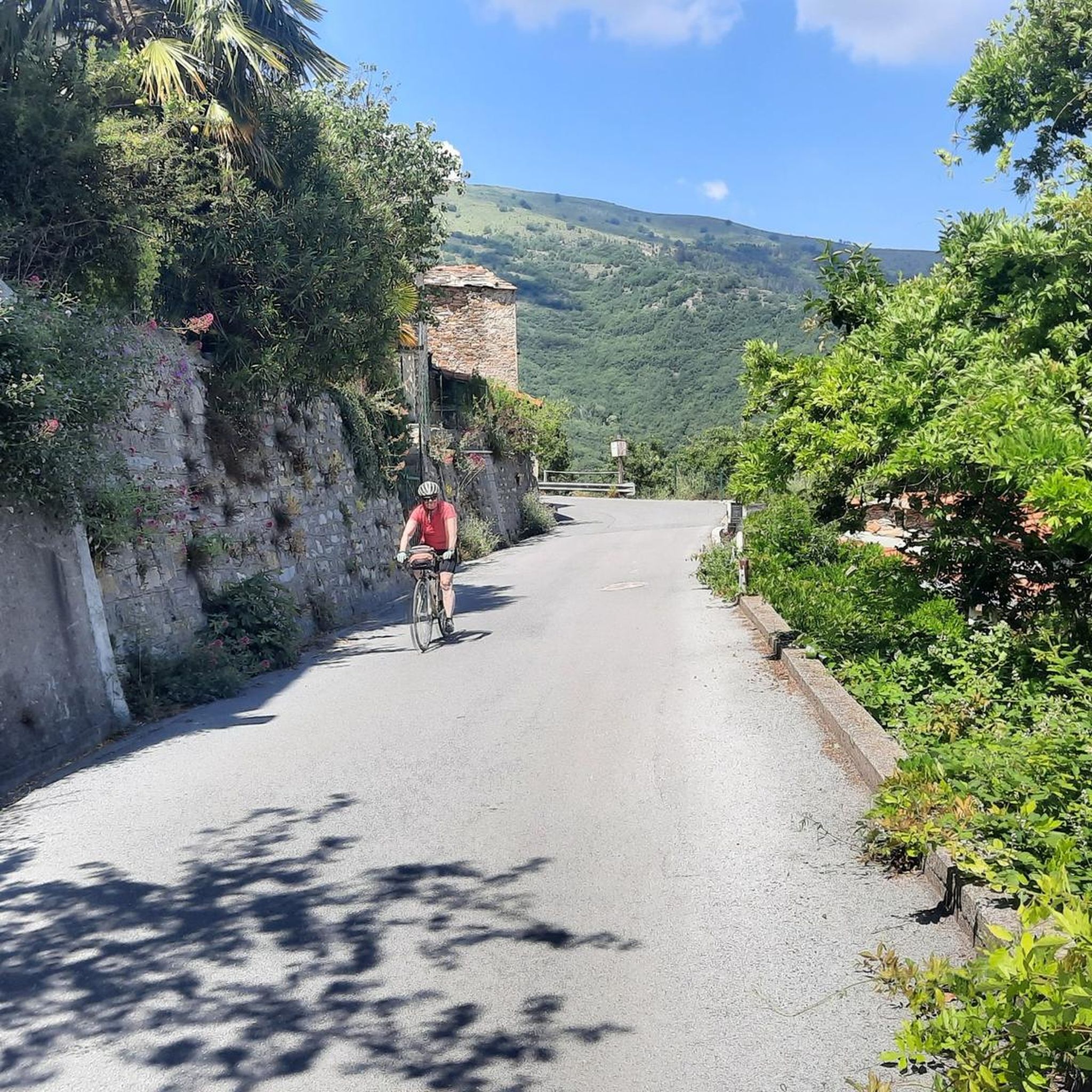
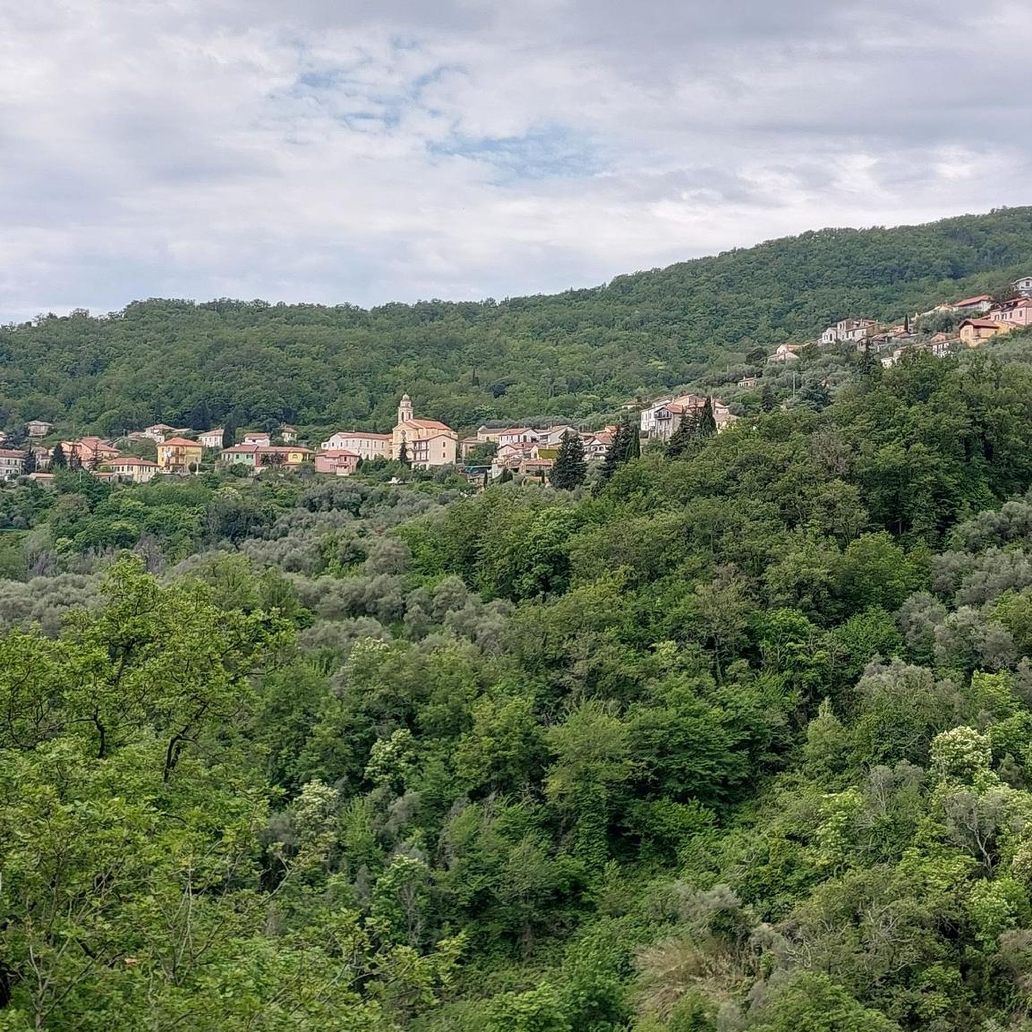

Tips from the Community

On August 7, 2025, the lake is empty because it is being redone.
0
0

The Guardiabella summit can be reached by footpaths or by bike from San Bernardo di Conio, or by climbing north halfway down towards Lavina. This second route would be cyclable were it not for the steepness and the severe deterioration of the forest road. However, you can reach the summit by pushing. From there, a beautiful grassy descent leads practically to Caravonica. Guardiabella owes its name to an ancient battle between the Roman and Ligurian armies during the campaign to conquer Liguria.
0
0

Lucinasco lake and S.Stefano church
0
0

Getting up here is challenging....but very rewarding, for the view and for the satisfaction of having pedaled among the olive trees in perfect solitude, listening to the rhythm of your breathing, with your legs pushing. Priceless emotions!!
0
0

Worthy of note here is the ancient Maro Castle, of which only four stones remain. In ancient times, along with the less ruined Prelà Castello, it guarded the Via del Sale. It is of enormous historical importance. The village is truly beautiful, and I recommend a bike tour. Also noteworthy are the Doria Palace and the beautiful church square.
0
0
Although the hiking trail leads for long stretches through beautiful old olive plantations, this section of the route is particularly picturesque and lovely.
0
0
Leave from Alassio!
0
0
Frequently Asked Questions
How many hiking trails are available around Aurigo?
Aurigo offers a wide selection of hiking routes, with over 230 trails to explore. These range from easy walks to more challenging ascents, catering to various fitness levels.
What are the general characteristics of hiking trails in Aurigo?
Hiking around Aurigo, located in Liguria, Italy, is characterized by trails that traverse hills, valleys, and historic pathways. You'll find routes featuring ancient stone bridges and offering expansive views of the surrounding valleys. Elevations vary, with some trails leading to peaks like Pizzo Binelli at 737 meters.
What are the difficulty levels of hikes in Aurigo?
The trails in Aurigo offer a good mix of difficulty levels. There are approximately 56 easy routes, 147 moderate trails, and 35 difficult options, ensuring there's something for every hiker.
Are there any circular hiking routes in Aurigo?
Yes, Aurigo features several circular routes. For example, the Rezzo Loop Trail is a challenging option, while the Monte dei Prati – Pizzo Binelli (737 m) loop from Lucinasco offers a moderate experience. There's also the easier View of Aurigo – Valley View loop from Borgomaro.
What do other hikers enjoy the most about hiking in Aurigo?
The area is highly rated by the komoot community, with an average score of 4.6 stars from over 1900 reviews. Hikers often praise the varied terrain, the historic pathways, and the scenic valley views that define the region's trails.
Are there family-friendly hiking options in Aurigo?
Yes, with over 50 easy routes, Aurigo offers several family-friendly options. These trails are generally shorter and have less strenuous elevation changes, making them suitable for hikers of all ages. Consider routes with lower elevation gain for a more relaxed family outing.
Can I hike with my dog in Aurigo?
While specific regulations can vary, generally, dogs are welcome on many trails in the Liguria region. It's always best to keep your dog on a leash, especially in areas with wildlife or near livestock, and to carry waste bags. Check local signage for any specific restrictions on individual trails.
What kind of landmarks or points of interest can I find near Aurigo's hiking trails?
Beyond the natural beauty, you can explore various points of interest. The region is known for its mountain passes, such as Ginestro Pass and Colle d'Oggia. Some trails also lead to viewpoints like the Monte Faudo summit, offering panoramic vistas.
What is the best time of year to go hiking in Aurigo?
The best times for hiking in Aurigo are typically spring (April to June) and autumn (September to October). During these seasons, the weather is generally mild and pleasant, and the landscapes are particularly vibrant. Summer can be warm, especially at lower elevations, while winter might bring cooler temperatures and occasional snow at higher altitudes.
Are there any trails that feature historic elements like stone bridges?
Absolutely. The region is known for its historic pathways. A prime example is the Medieval Stone Bridges Trail from Rezzo, which specifically highlights these ancient structures as you hike through the landscape.
Are there any trails that offer significant elevation gain for a challenge?
For those seeking a challenge, trails like the Rezzo Loop Trail feature substantial elevation gain, with over 650 meters of ascent. These routes provide a more strenuous workout and often reward hikers with extensive views from higher points.
Most popular attractions around Aurigo

Get inspired with the komoot mobile app


Explore more
Browse the best Hikes in other regions.
