The best walks and hikes around Reimerath
4.6
(6853)
24,169
hikers
721
hikes
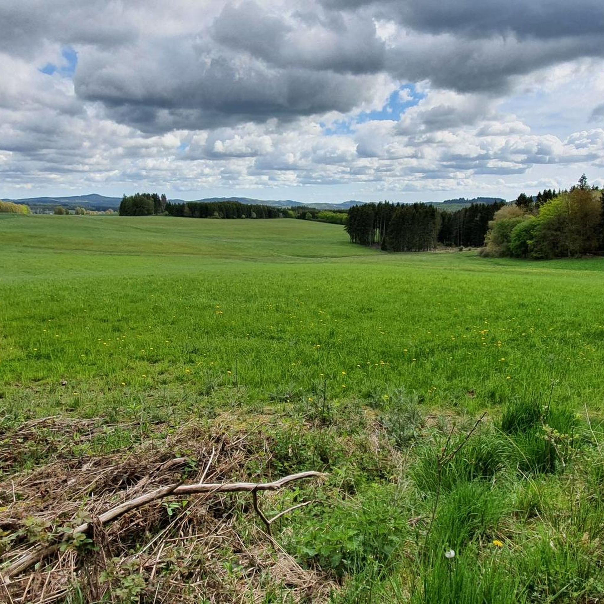
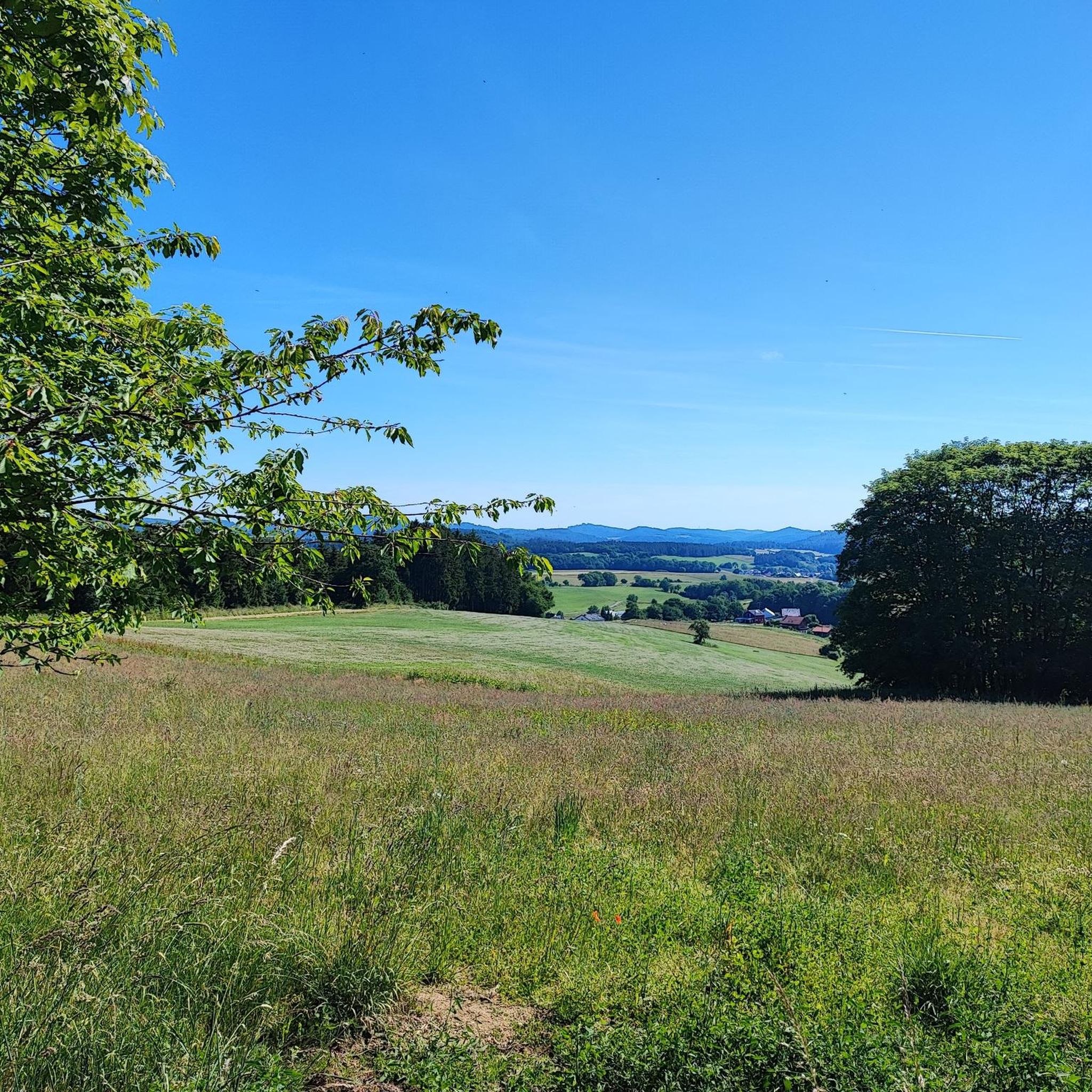
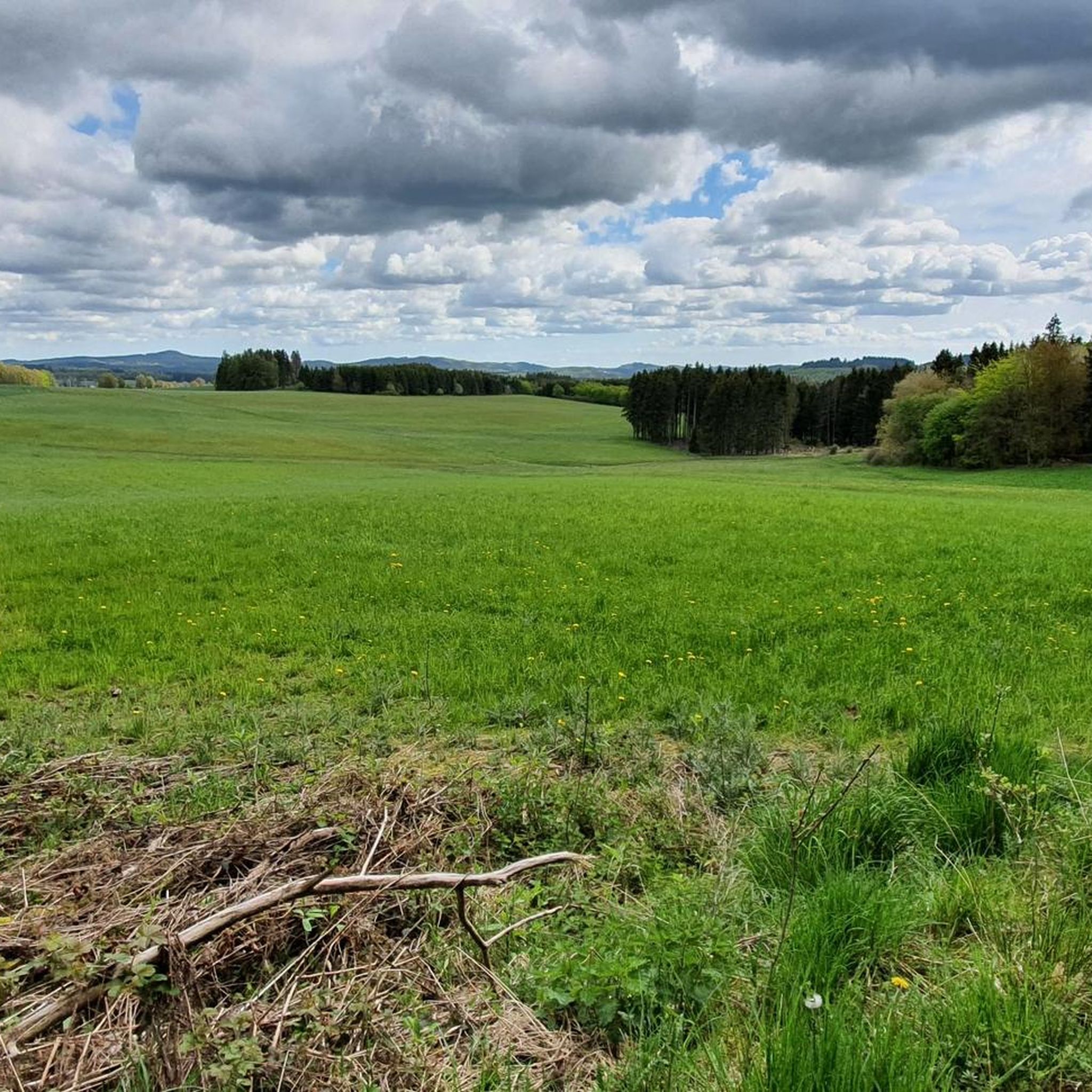
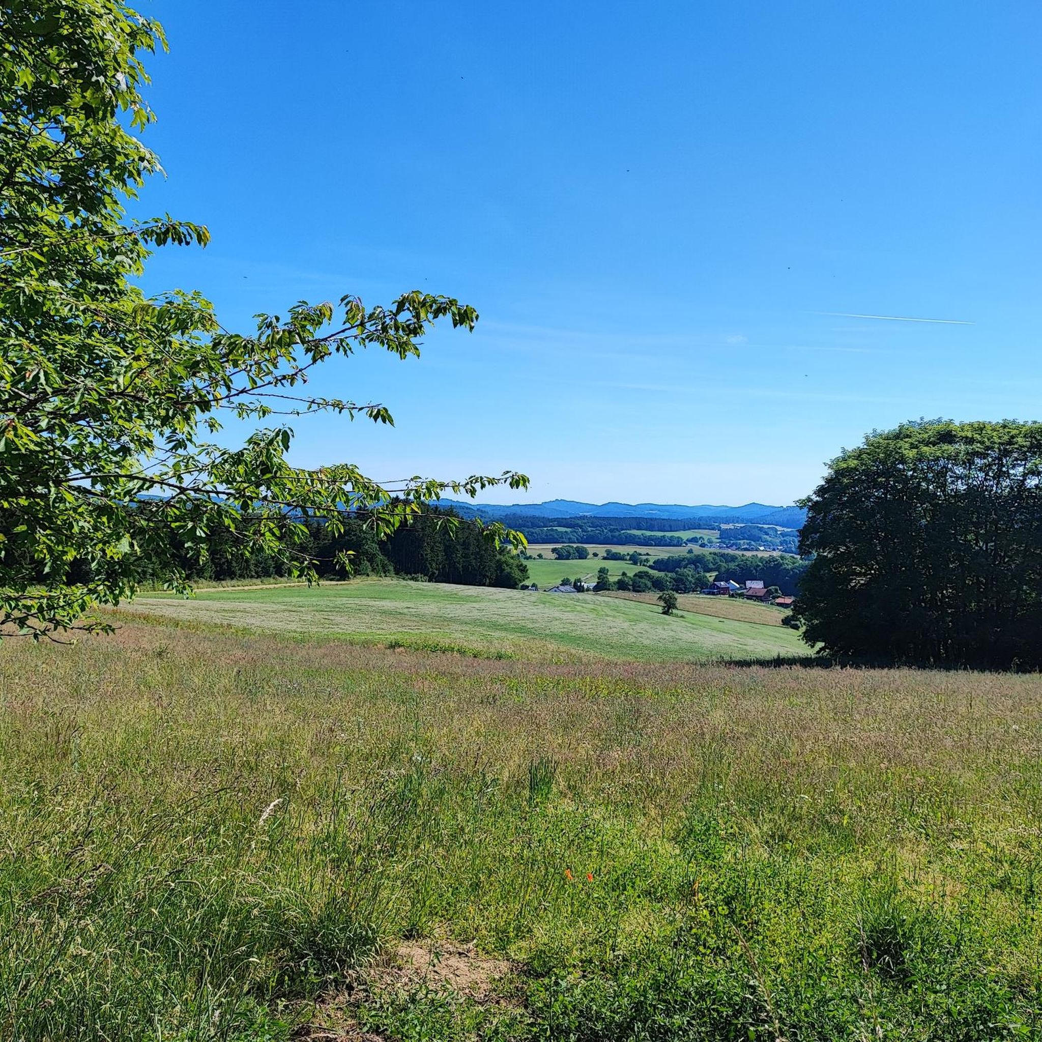
Hiking around Reimerath offers access to the Vulkaneifel region, characterized by its unique volcanic landscape and geological formations. The area is situated at an elevation of 530 meters (1,740 ft), providing a tranquil setting for outdoor activities. Notable features include an old trachyte quarry and diverse volcanic rocks, reflecting millennia of volcanic activity. The Eifel region, encompassing Reimerath, is known for its well-maintained hiking trails.
Best hiking trails around Reimerath
- The most popular hiking route is Nürburgring – Grandstand T4…
Last updated: October 1, 2026
4.9
(7)
65
hikers
8.66km
02:20
110m
110m
Moderate hike. Good fitness required. Easily-accessible paths. Suitable for all skill levels.
5.0
(4)
13
hikers
9.62km
02:40
170m
170m
Moderate hike. Good fitness required. Easily-accessible paths. Suitable for all skill levels.

9
hikers
7.39km
02:02
120m
120m
Moderate hike. Good fitness required. Easily-accessible paths. Suitable for all skill levels.
5.0
(7)
7
hikers
5.90km
01:38
100m
100m
Easy hike. Great for any fitness level. Easily-accessible paths. Suitable for all skill levels.
4
hikers
11.0km
03:02
190m
190m
Moderate hike. Good fitness required. Easily-accessible paths. Suitable for all skill levels.
Get access to more routes and recommendations from other explorers.
Already have an account?
Our route recommendations are based on thousands of hikes, rides, and runs completed by other people on komoot.
Start today with a free account
Your next adventure awaits.
Tips from the Community

The Schwarzenberg Chapel is hidden in the forest on the 562-meter-high Schwarzenberg and is dedicated to the Sorrowful Mother of God. It was built in 1719. Inside, an altar with a Pietà in the central part adorns the chapel, flanked by Saints Aloysius (right) and Augustine. On the walls, votive tablets and discarded crutches bear witness that many people sought and found comfort and help in illness from the Schwarzenberg Mother of God. Not far from the chapel is the Heroes' Cemetery, where the soldiers who died in Kelberg during World War II rest. A little further down, a memorial commemorates the fallen of the First and Second World Wars.
2
0


The racetrack crosses a bridge over the road. You can't see the cars, but you can certainly hear them.
0
0

Great area for e-bike riding was fun
0
0

Pure nostalgia at the old paddock.
3
0
A must for all racing enthusiasts
1
0

From here you have a beautiful view of the impressive Nürburg.
2
0
Frequently Asked Questions
How many hiking trails are available around Reimerath?
Reimerath and its surrounding Vulkaneifel region offer a wide variety of hiking opportunities. There are over 680 hiking routes available, catering to different preferences and fitness levels.
What kind of landscape can I expect when hiking near Reimerath?
Hiking around Reimerath immerses you in the unique volcanic landscape of the Vulkaneifel. You'll encounter features shaped by millennia of volcanic activity, including diverse volcanic rocks. A notable historical and geological site is an old trachyte quarry, located south of the village, which once supplied stone for the Cologne Cathedral.
Are there easy hiking options suitable for beginners or leisurely strolls?
Yes, Reimerath offers many easy hiking options. Out of the numerous trails, 362 are classified as easy. An example is the Wayside cross on Schwarzenberg – Schwarzenberg Wayside Chapel loop from Kelberg, which is a pleasant 5.9 km (3.7 miles) route.
What interesting landmarks or natural features can I see on the trails?
Beyond the volcanic landscape, trails around Reimerath feature historical points of interest. You might encounter traditional timber-frame houses, wayside chapels, and basalt beam wayside crosses. The broader region also offers attractions like the Nürburg Castle and the Boos Lava Bomb, showcasing both historical and geological significance.
Are there any circular hiking routes in the area?
Many of the hiking trails around Reimerath are designed as circular routes, allowing you to start and end at the same point. For instance, the Nürburgring – Grandstand T4 at Nürburgring loop from Nürburgring is a popular circular trail offering views towards the Nürburgring area.
What do other hikers enjoy most about hiking in Reimerath?
The hiking trails around Reimerath are highly regarded by the komoot community, with an average rating of 4.6 stars from over 5,700 reviews. Hikers frequently praise the well-maintained paths, the diverse volcanic scenery, and the tranquil setting of the Vulkaneifel region.
Is Reimerath a good destination for family-friendly hikes?
Yes, Reimerath is suitable for family-friendly hikes, particularly with its numerous easy and moderate trails. The varied landscape and historical features provide engaging points of interest for all ages. Many routes are well-maintained, making them accessible for families.
Are dogs allowed on the hiking trails around Reimerath?
Generally, dogs are welcome on the hiking trails around Reimerath and throughout the Eifel region. It's always advisable to keep your dog on a leash, especially in nature reserves, near livestock, or in areas with wildlife, to ensure safety and respect for the environment.
What is the best time of year to go hiking in Reimerath?
The Eifel region, including Reimerath, offers pleasant hiking experiences throughout much of the year. Spring brings blooming nature, summer provides warm weather for longer excursions, and autumn showcases vibrant foliage. Even winter hiking can be beautiful, though conditions may require appropriate gear.
Are there any viewpoints or scenic overlooks on the trails?
Yes, the volcanic landscape around Reimerath offers several opportunities for scenic views. For example, the View of Nürburg Castle – View of Nürburg Castle loop from Welcherath provides excellent vistas. Additionally, the broader region features viewpoints like the Boos Eifel Observation Tower.
Are there any trails that pass by the Köttelbach area?
Yes, several trails explore the Köttelbach area. A popular choice is the Sassener Cross – View of Köttelbach loop from Kelberg, a moderate 9.6 km (6.0 miles) path that offers views of the Köttelbach and passes the historic Sassener Cross.
What is the elevation like for hiking in Reimerath?
Reimerath is situated at an elevation of 530 meters (1,740 ft), and the hiking trails in the Vulkaneifel region often involve moderate ascents and descents. While some routes are relatively flat, others can include more challenging elevation changes, characteristic of the volcanic terrain.
Most popular routes around Reimerath
Most popular attractions around Reimerath

Get inspired with the komoot mobile app


Explore more
Browse the best Hikes in other regions.
