The best walks and hikes around Castiglione Messer Raimondo
4.3
(134)
493
hikers
15
hikes
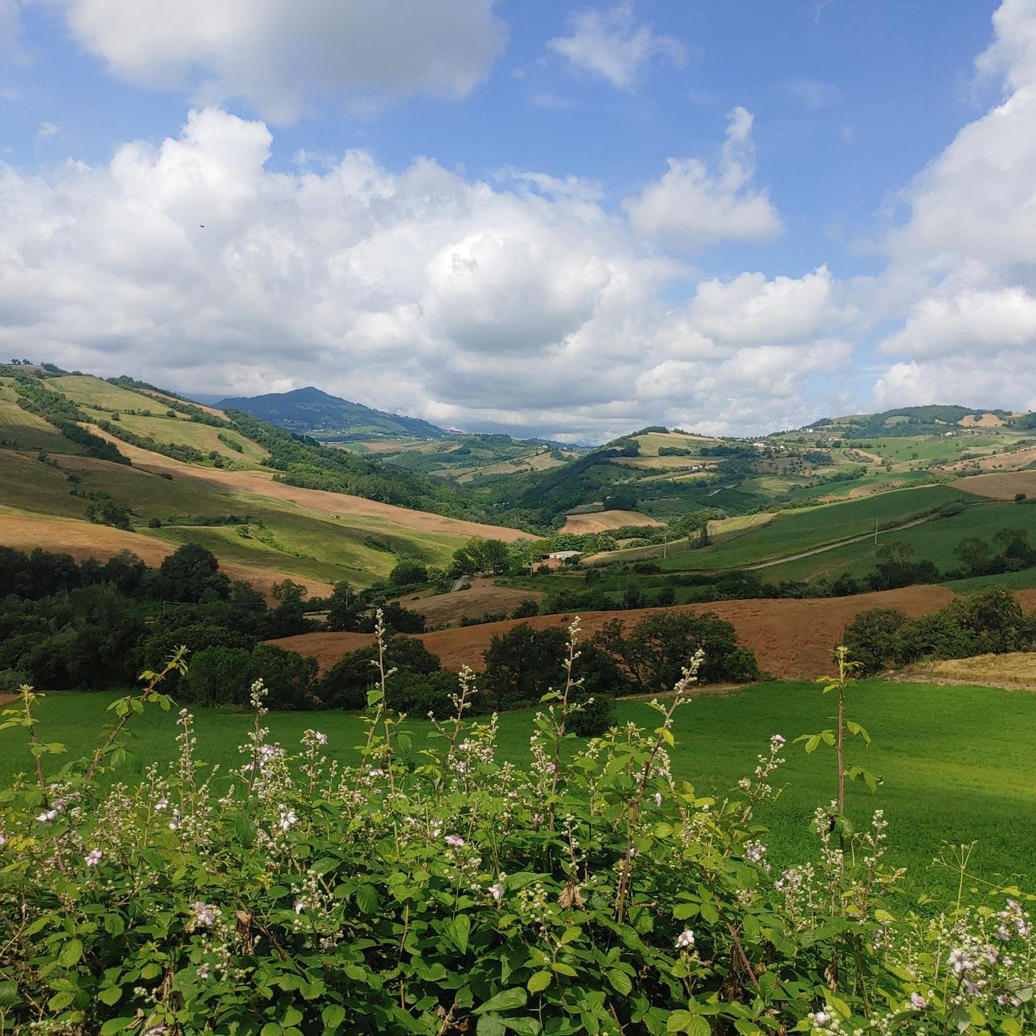
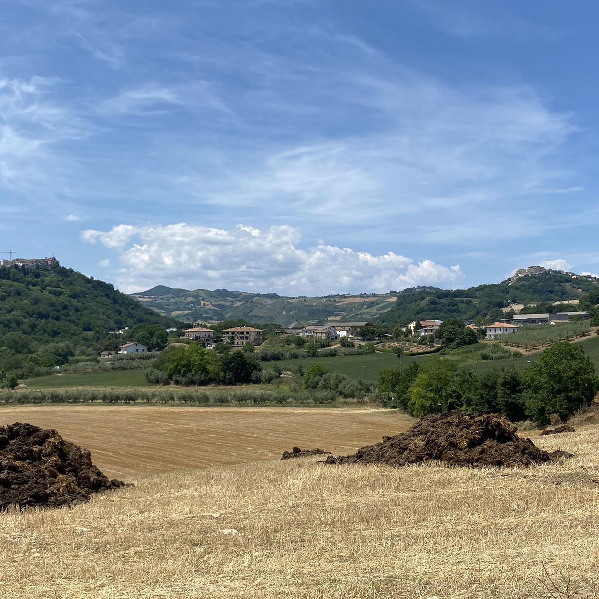
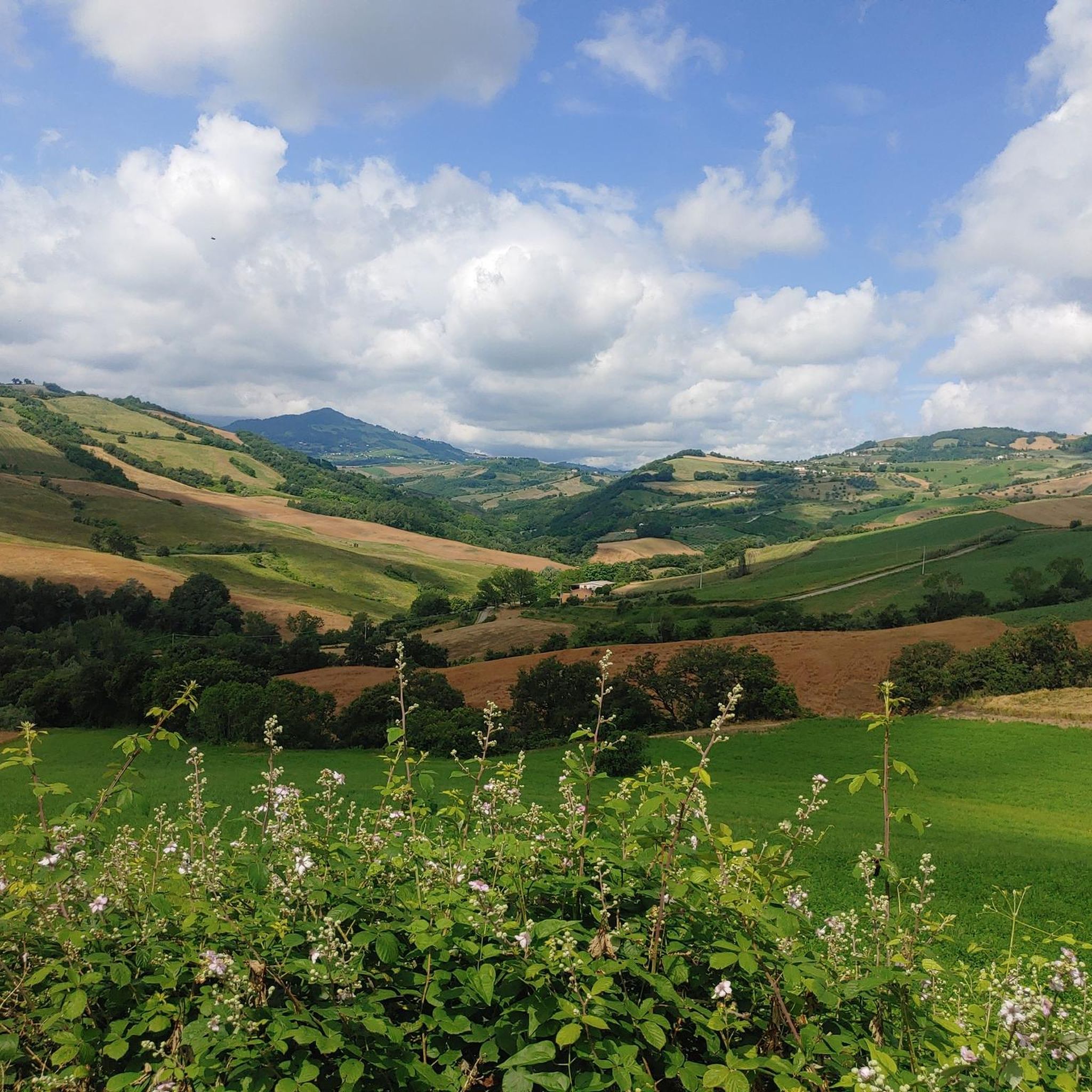
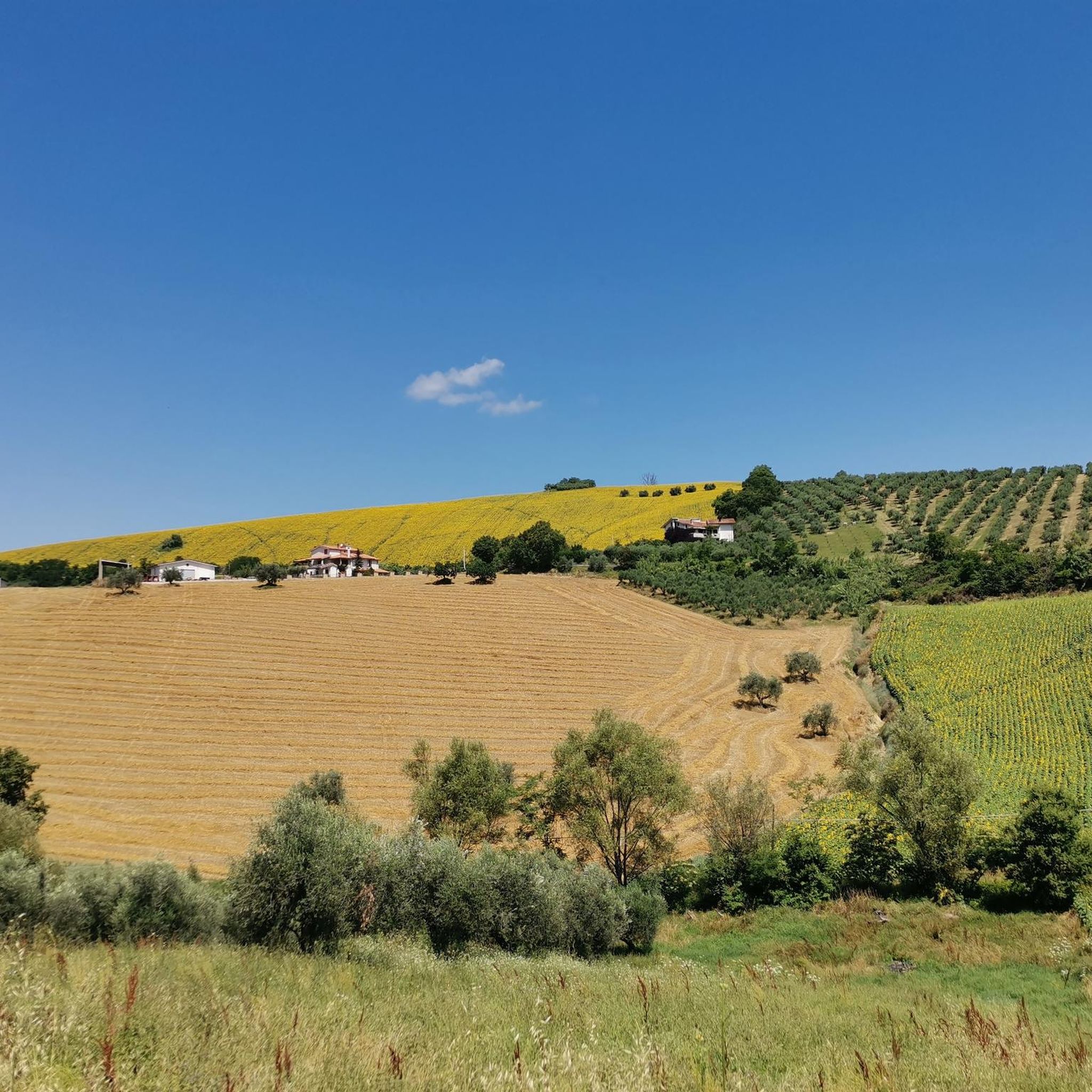
Hiking trails around Castiglione Messer Raimondo traverse a diverse landscape characterized by hilly terrain and the Fino river valley. The region offers panoramic views of the Gran Sasso d'Italia mountain range, which forms a dramatic backdrop. Unique natural features include the eroded formations of the Calanchi di Atri, a protected area accessible from the village. This area provides a variety of environments for outdoor activities.
Best hiking trails around Castiglione Messer Raimondo
- The most popular hiking route is Calanchi di…
Last updated: May 11, 2026
4.4
(75)
285
hikers
6.19km
02:02
290m
290m
Embark on the Calanchi di Atri Loop, a moderate hike that takes you through a landscape sculpted by nature's raw power. This 3.8-mile (6.2 km) route features impressive eroded clay…
3.9
(22)
74
hikers
6.29km
01:41
80m
80m
Enjoy an easy 3.9-mile (6.3 km) hike around Penne Lake, exploring diverse wildlife and serene landscapes in this natural reserve.

Sign up for free
3.9
(9)
21
hikers
8.37km
02:43
390m
390m
Moderate hike. Good fitness required. Easily-accessible paths. Suitable for all skill levels.
3.0
(2)
22
hikers
3.08km
01:05
170m
170m
Easy hike. Great for any fitness level. Easily-accessible paths. Suitable for all skill levels.
4.3
(9)
15
hikers
13.0km
04:00
470m
470m
Moderate hike. Good fitness required. Easily-accessible paths. Suitable for all skill levels.
Get access to more routes and recommendations from other explorers.
Sign up for free
Already have an account?
Our route recommendations are based on thousands of hikes, rides, and runs completed by other people on komoot.
Start today with a free account
Your next adventure awaits.
Login or Signup
Tips from the Community

A beautifully landscaped area with a main building. There's a restroom and some information about the nature reserve. Outside, there are seating areas for a picnic with a great view.
0
0
A beautiful circular hike in the Calanchi di Atri Regional Nature Park. The reserve is always open and free of charge. You can admire various rock formations created by the action of water on the clay soil.
0
0


Atri and its gullies
0
1

Spectacular place, with a 5.6 km circular hiking route.
2
0
5.6 km circular tour with ascent and descent, I recommend not doing it in very hot periods.
1
0
This is an "Environmental Education Center" which has a examples of fossils & animals from the region and some educational posters. More here: https://riservacalanchidiatri.it/centro-educazione-ambientale/
0
0

Very cold water, I do not recommend bathing in it
0
0
Frequently Asked Questions
How many hiking trails are available around Castiglione Messer Raimondo?
There are over 10 hiking trails around Castiglione Messer Raimondo, offering a variety of experiences from easy strolls to more challenging moderate routes. The region's diverse landscape ensures there's something for every hiker.
What unique natural landmarks can I explore while hiking in this area?
The region is known for its distinctive natural features. You can explore the striking eroded formations of the Atri Badlands, also known as Calanchi di Atri, which are a protected area. Another notable feature is the Vitella d'Oro Waterfall, accessible via trails like the Vitella d'Oro Waterfall loop from Farindola.
Are there any easy hiking options suitable for beginners or casual walkers?
Yes, several easy routes are available. The Penne Lake Loop Trail is an easy 3.9-mile path offering relaxed views around the lake. Another easy option is the Atri Calanchi Cycle Route – Atri Badlands loop from Atri, which is shorter at 1.9 miles.
Can I find challenging hikes near Castiglione Messer Raimondo?
While the guide primarily features easy and moderate routes, the broader Abruzzo region, including the nearby Gran Sasso d'Italia massif, offers more challenging mountain activities. Within the immediate area, routes like the Calanchi di Atri Loop and the Vitella d'Oro Waterfall loop from Farindola are considered moderate, providing a good workout with varied terrain and elevation changes.
Are there any circular hiking routes in the region?
Many of the popular routes in the area are circular, allowing you to start and end at the same point. Examples include the Calanchi di Atri Loop, the Penne Lake Loop Trail, and the Vitella d'Oro Waterfall loop from Farindola.
What is the best time of year to go hiking in Castiglione Messer Raimondo?
The spring and autumn months are generally ideal for hiking in Castiglione Messer Raimondo. During these seasons, the weather is typically mild and pleasant, and the natural landscapes are vibrant with blooming flowers or rich autumnal colors. Summer can be warm, especially at lower elevations, while winter may bring colder temperatures and snow to higher areas like the Gran Sasso.
Are the hiking trails around Castiglione Messer Raimondo suitable for families with children?
Yes, there are several trails suitable for families. Easy routes like the Penne Lake Loop Trail are great for a relaxed outing with children. The varied terrain and natural attractions like the Calanchi di Atri can also be engaging for younger explorers, provided you choose routes appropriate for their age and stamina.
Are dogs allowed on the hiking trails in Castiglione Messer Raimondo?
Generally, dogs are welcome on hiking trails in the Castiglione Messer Raimondo area. However, it's always recommended to keep your dog on a leash, especially in nature reserves like the Calanchi di Atri Nature Reserve, and to clean up after them. Always check for specific local regulations or signage at trailheads.
What kind of views can I expect on hikes in this region?
Hikes in Castiglione Messer Raimondo offer diverse and impressive views. You can expect panoramic vistas of the majestic Gran Sasso d'Italia mountain range, the Fino river valley, and the surrounding hilly terrain. The unique eroded landscapes of the Calanchi di Atri also provide visually striking scenery.
Is there public transport available to reach hiking areas near Castiglione Messer Raimondo?
Public transport options to specific trailheads directly from Castiglione Messer Raimondo can be limited. It is often more convenient to reach many hiking areas by car. However, local bus services connect Castiglione Messer Raimondo to larger towns in the province of Teramo, from where you might find further connections or taxis to closer hiking spots.
What do other hikers enjoy the most about hiking in Castiglione Messer Raimondo?
The area is highly rated by the komoot community, with an average score of 4.4 stars from 126 reviews. Reviewers often praise the diverse landscapes, from the unique badlands formations to the panoramic views of the Gran Sasso, and the variety of trails suitable for different skill levels.
Most popular routes around Castiglione Messer Raimondo
Most popular attractions around Castiglione Messer Raimondo

Get inspired with the komoot mobile app


Explore more
Browse the best Hikes in other regions.
