The best MTB trails around Nocciano
3.6
(31)
518
riders
43
rides
Mountain biking around Nocciano offers diverse and rugged natural landscapes within Italy's Abruzzo region. The area features a mix of Apennine foothills, wide valleys, and varied terrain including dirt roads, ancient military roads, and technical singletrack. Riders can explore routes along the Nora River and through endless hills, with elevation gains suitable for various skill levels. This region provides a compelling backdrop for outdoor pursuits, characterized by its natural beauty.
Best mountain bike trails around Nocciano
- The most popular mountain…
Last updated: May 24, 2026
25.2km
01:46
390m
390m
Moderate mountain bike ride. Good fitness required. Suitable for all skill levels.
3.5
(2)
27
riders
34.7km
02:29
330m
330m
Moderate mountain bike ride. Good fitness required. Advanced riding skills necessary.

Sign up for free
11
riders
19.7km
01:29
360m
360m
Moderate mountain bike ride. Good fitness required. Advanced riding skills necessary.
6
riders
26.0km
01:57
490m
490m
Moderate mountain bike ride. Good fitness required. Advanced riding skills necessary.
5
riders
40.6km
03:39
1,100m
1,100m
Hard mountain bike ride. Very good fitness required. Suitable for all skill levels.
Get access to more routes and recommendations from other explorers.
Sign up for free
Already have an account?
Our route recommendations are based on thousands of hikes, rides, and runs completed by other people on komoot.
Start today with a free account
Your next adventure awaits.
Login or Signup

Tips from the Community

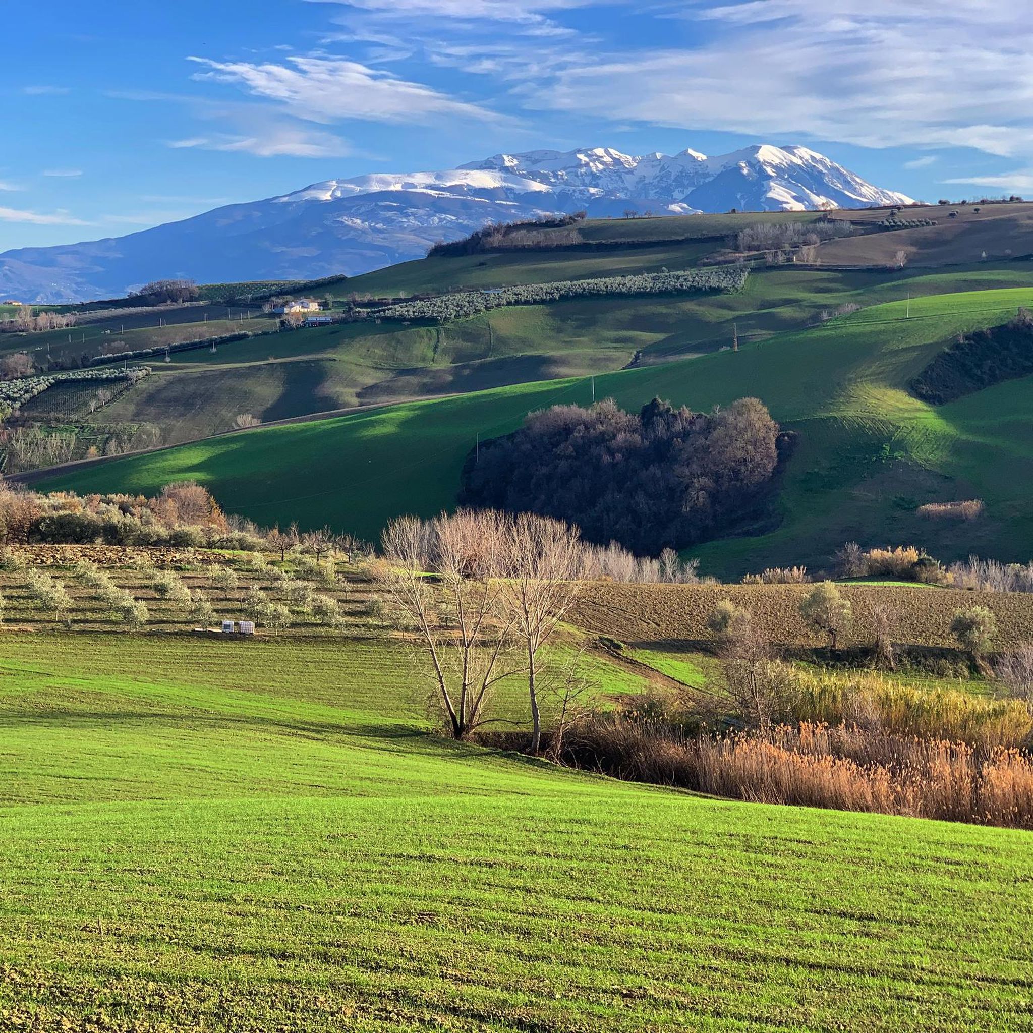
Villa San Giovanni is surrounded by a landscape of vineyards and olive groves, enhancing its rural character. A corner of Abruzzo where nature and tradition blend harmoniously.
0
0
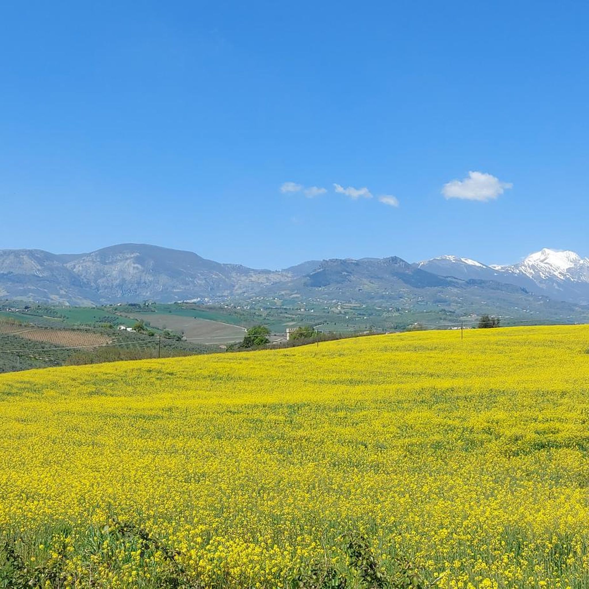
The village of Rosciano sits on the rolling hills of Abruzzo, dominated by a medieval tower that tells the story of centuries of history. The village is immersed in a landscape of vineyards, olive groves, and authentic traditions.
1
0

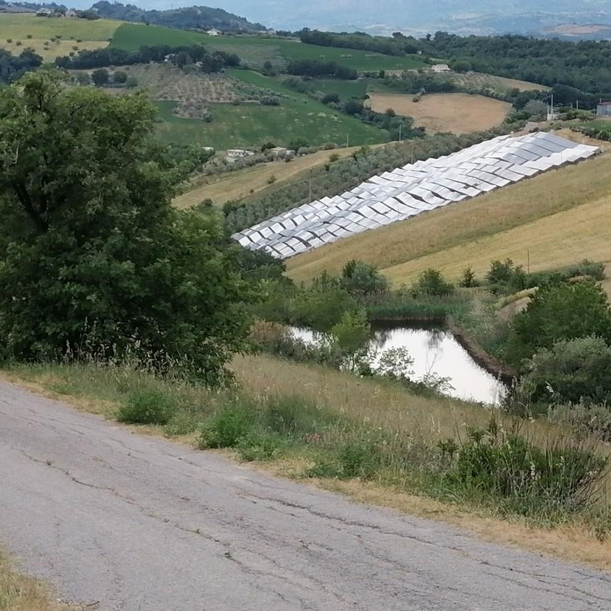
The bridge in question has a heavy metal structure, but the crosswalk has wooden crosspieces, which are in a terrible state. There are no barriers, and for this reason, I consider it extremely dangerous, especially for children.
0
0

Very challenging and not recommended after rain.
0
0
The Tratturo Magno passed through the Forca di Penne pass to descend towards the hills of the nearby province of Pescara and reach the Adriatic coast.
0
0
The Castle of Nocciano presents itself as an imposing fortified structure since the De Sterlich-Aliprandi family, owners until the mid-20th century, changed its use from a defensive construction to a stately residence.
0
0
Sant'Andrea, in Rosciano, is the historic estate of the Marramiero winery
0
0

The Forca di Penne area is a road pass located at an altitude of approximately 900 metres. Here there is a farm, a few scattered houses and the ruins of an ancient tower to remind us of the strategic importance of the pass. On good days, looking east you can see the Adriatic Sea, while to the west the view opens onto the Sirente-Velino massif. Various dirt paths start from here which lead to the peaks of Monte Picca, Monte Rotondo and Monte Alto. In the southernmost part of the Gran Sasso massif.
2
0
Frequently Asked Questions
What kind of terrain can I expect on mountain bike trails around Nocciano?
The mountain bike trails around Nocciano offer a diverse range of terrain, reflecting the Abruzzo region's natural features. You'll encounter a mix of dirt roads, ancient military roads, and technical singletrack. Routes often traverse both natural and unpaved sections, with some featuring asphalt and paved parts, especially on routes like Fiume Nora, Rosciano e Nocciano — giro ad anello. The landscape includes endless hills, wide valleys, and unique geological features like 'calanchi' (rugged notches formed by soil erosion), providing varied and interesting riding.
Are there mountain bike trails suitable for beginners or those looking for an easier ride?
Yes, Nocciano offers trails for various skill levels. While many routes are moderate, there are 3 easy trails available. These typically involve less elevation gain and shorter distances, making them suitable for those new to mountain biking or looking for a more relaxed experience. The region's diverse terrain ensures there are options for all abilities.
What are the more challenging mountain bike trails like in Nocciano?
For experienced riders seeking a challenge, Nocciano and the surrounding Abruzzo region offer 16 difficult mountain bike trails. These routes often feature significant elevation gains, technical sections, and longer distances. For example, the Statue of the Wolf of Pretoro – Passo Lanciano loop from Manoppello is a difficult 55.4 km trail with over 1500 meters of elevation gain, requiring very good fitness and advanced riding skills. Some trails in the broader Abruzzo region also incorporate challenging features such as drops, jumps, and rock gardens.
Are there any circular mountain bike routes around Nocciano?
Yes, many of the mountain bike routes around Nocciano are designed as loops, allowing you to start and end in the same location. Examples include the Fiume Nora, Rosciano e Nocciano — giro ad anello and the Cepagatti – Nocciano Castle loop from Nocciano. These circular routes provide a convenient way to explore the diverse landscapes of the region.
What natural features or landmarks can I see along the mountain bike trails?
The trails around Nocciano offer access to the stunning natural beauty of the Abruzzo region. You can encounter features like the Nora River, and enjoy expansive views of the Apennine Mountains, including the Gran Sasso d'Italia massif and the Majella mountain range. Notable natural attractions nearby include the Sulphur Springs of the Lavino River and the Protected Area of Parco del Lavino. Some routes also pass by historical sites such as Monument of the City of Stone or the area around Nocciano Castle.
What is the best time of year for mountain biking in Nocciano?
The Abruzzo region, where Nocciano is located, offers good conditions for mountain biking for much of the year. Spring and autumn generally provide pleasant temperatures and vibrant scenery, making them ideal. Summer can also be suitable, especially in the higher elevations of the nearby Apennines, though lower valley routes might be warmer. Always check local weather forecasts before heading out.
Are there any family-friendly mountain bike trails in the Nocciano area?
While specific 'family-friendly' designations aren't always explicit, the presence of easy and moderate trails suggests options suitable for families. Routes with less elevation gain and smoother terrain, often found along river valleys or through less rugged hills, would be good choices. Look for the 3 easy trails available, which are generally shorter and less demanding, making them more accessible for families.
Can I bring my dog on the mountain bike trails around Nocciano?
The general policy for bringing dogs on trails can vary, especially within protected areas like the Majella National Park or Gran Sasso and Monti della Laga National Park, which are nearby. While Nocciano itself may have more relaxed rules, it's always best to check specific regulations for each trail or protected area you plan to visit. Always keep your dog under control, especially around wildlife and other trail users.
Where can I find parking for mountain biking trailheads in Nocciano?
Parking availability can vary depending on the specific trailhead. Many routes, especially those starting from towns or villages like Nocciano or Cepagatti, will likely have designated parking areas. For routes that begin from more remote locations, roadside parking might be an option. It's advisable to check the route details on komoot for specific parking recommendations or start points.
What do other mountain bikers say about the trails in Nocciano?
The mountain bike trails in Nocciano are highly regarded by the komoot community, with an average rating of 3.6 stars from over 40 reviews. More than 600 mountain bikers have explored the area using komoot. Riders often praise the diverse terrain, which includes hilly sections, wide valleys, and a mix of natural and unpaved paths, offering varied experiences for different skill levels.
Are there any places to eat or stay near the mountain bike trails in Nocciano?
Nocciano and its surrounding towns offer various options for refreshments and accommodation. You can find cafes, restaurants, and agriturismos (farm stays) in Nocciano itself and nearby settlements like Cepagatti or Manoppello. These establishments cater to visitors and provide convenient places to refuel or stay overnight, often within close proximity to trail access points.
How long do mountain bike trails typically take to complete in Nocciano?
The duration of mountain bike trails in Nocciano varies significantly based on distance, elevation gain, and difficulty. Easy trails might take less than 2 hours, while moderate routes like Fiume Nora, Rosciano e Nocciano — giro ad anello (25.2 km) can be completed in about 1 hour 45 minutes. Longer, more difficult trails, such as the Disused Military Bridge – Cepagatti loop from Enel (49.8 km), can take over 3 hours, with some challenging routes requiring 5 hours or more.
Are there mountain bike trails that offer significant viewpoints?
Yes, the hilly terrain and proximity to the Apennine Mountains mean many trails offer rewarding viewpoints. The effort of climbing often provides expansive horizons and scenic views of the surrounding landscapes. A specific highlight, View of the Majella and Gran Sasso, is located nearby and offers stunning panoramas of these majestic mountain ranges, which can be incorporated into or accessed from various routes.
Most popular attractions around Nocciano

Get inspired with the komoot mobile app


Explore more
Browse the best MTB trails in other regions.
