The best walks and hikes around Regnitzlosau
4.5
(354)
1,156
hikers
100
hikes
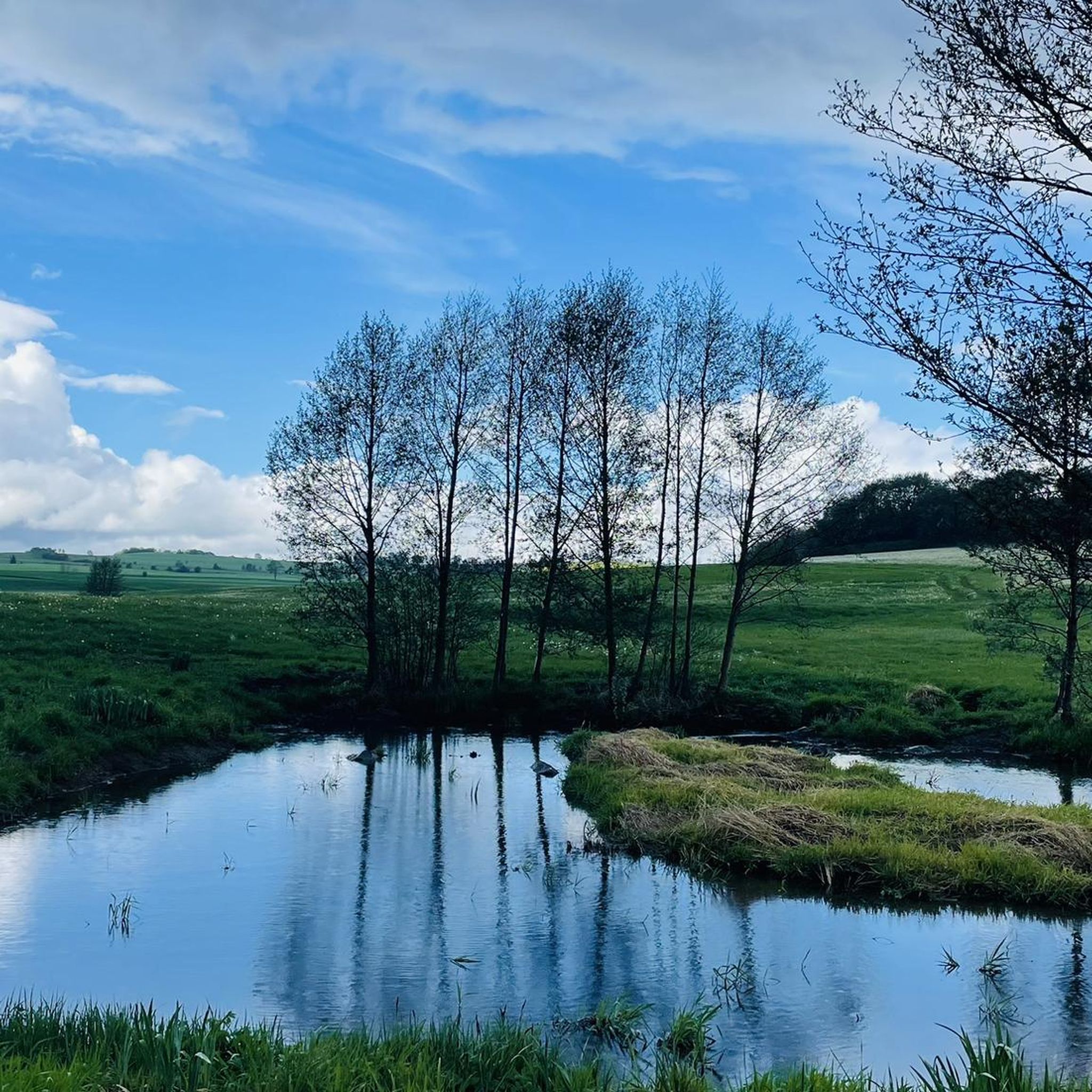
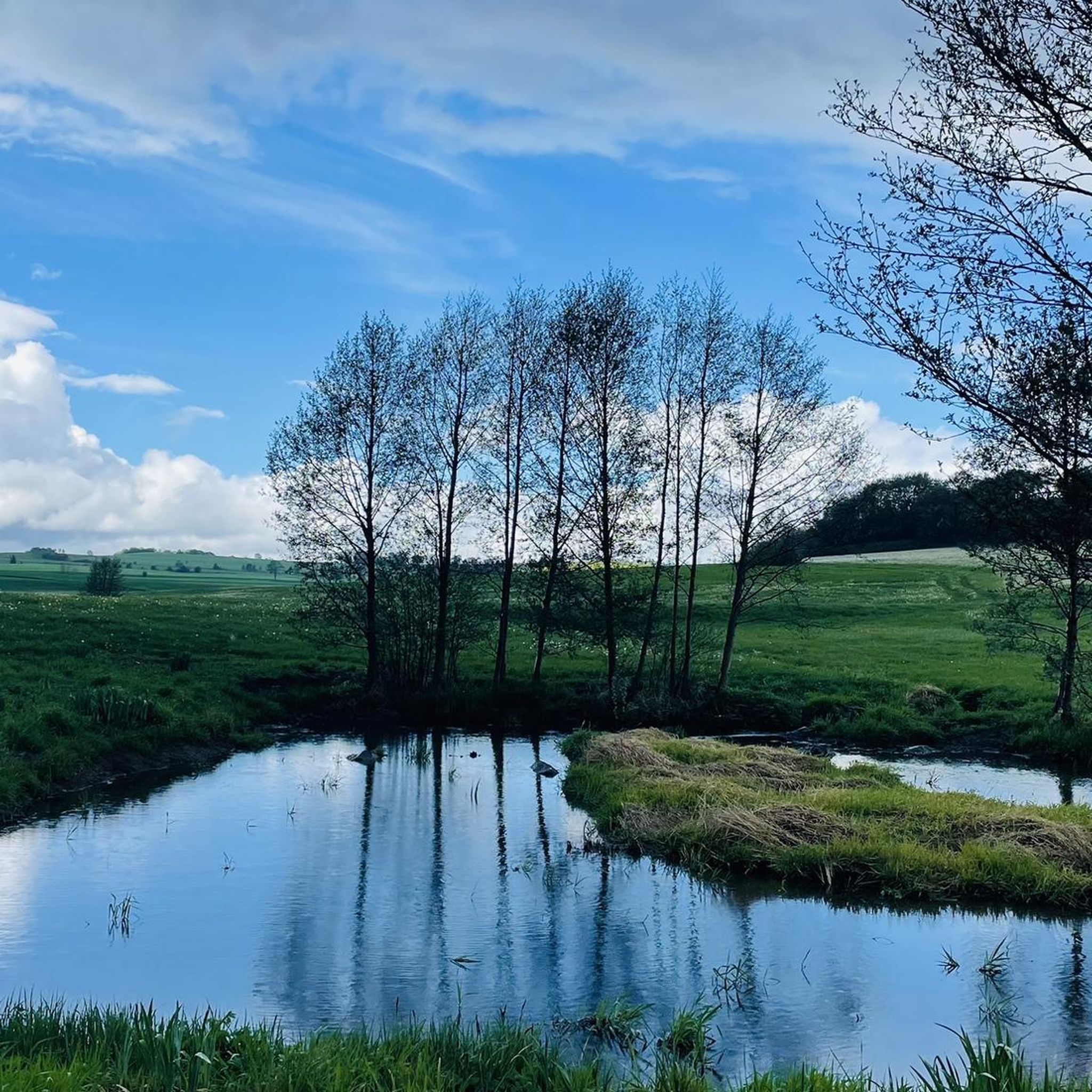
Hiking around Regnitzlosau provides access to varied landscapes, characterized by an undulating low mountain range with gentle hills and extensive forests. The region features wide meadows and dense woodlands, with the Southern Regnitz river shaping harmonious floodplains. This area, bordering the Czech Republic, offers trails through a diverse natural environment.
Best hiking trails around Regnitzlosau
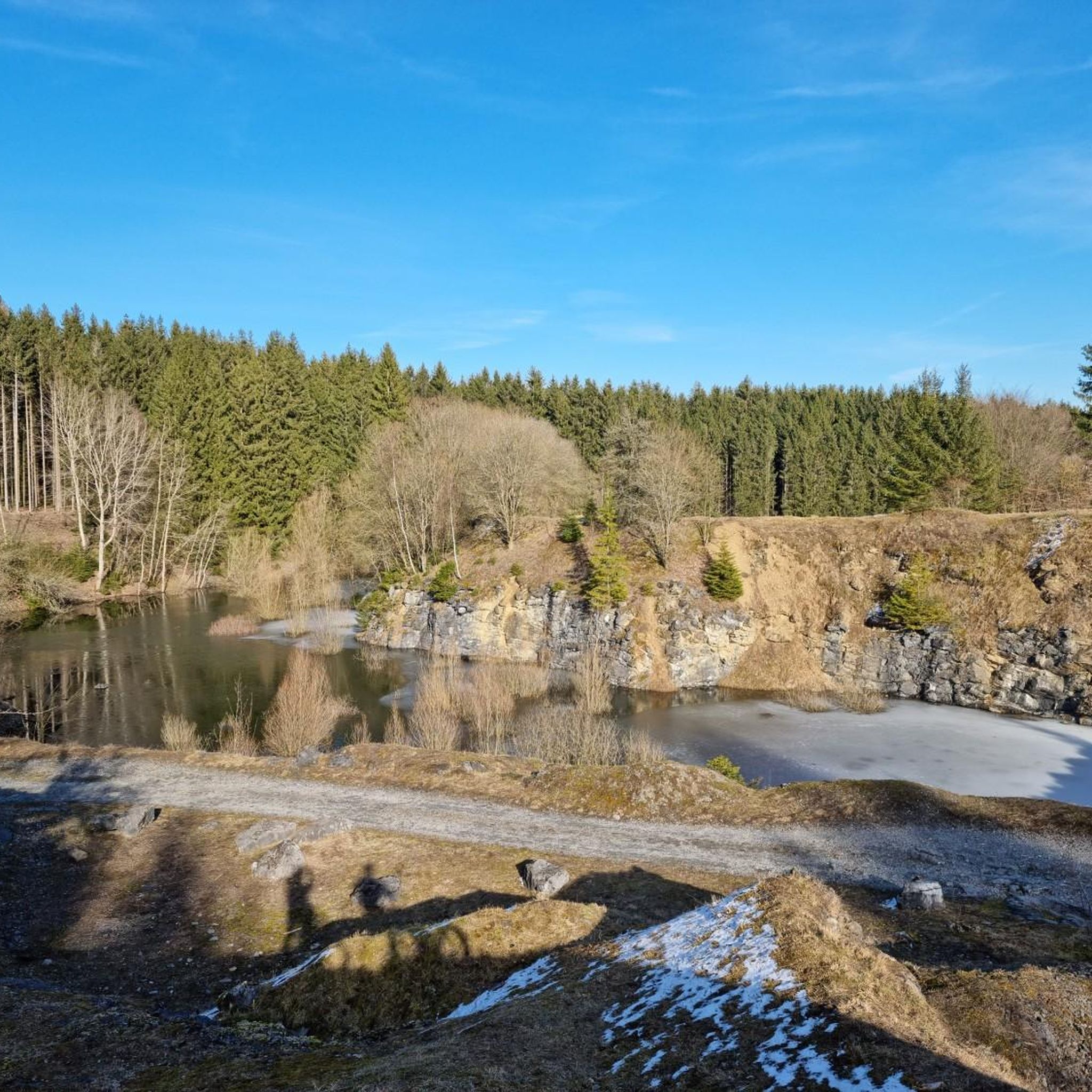
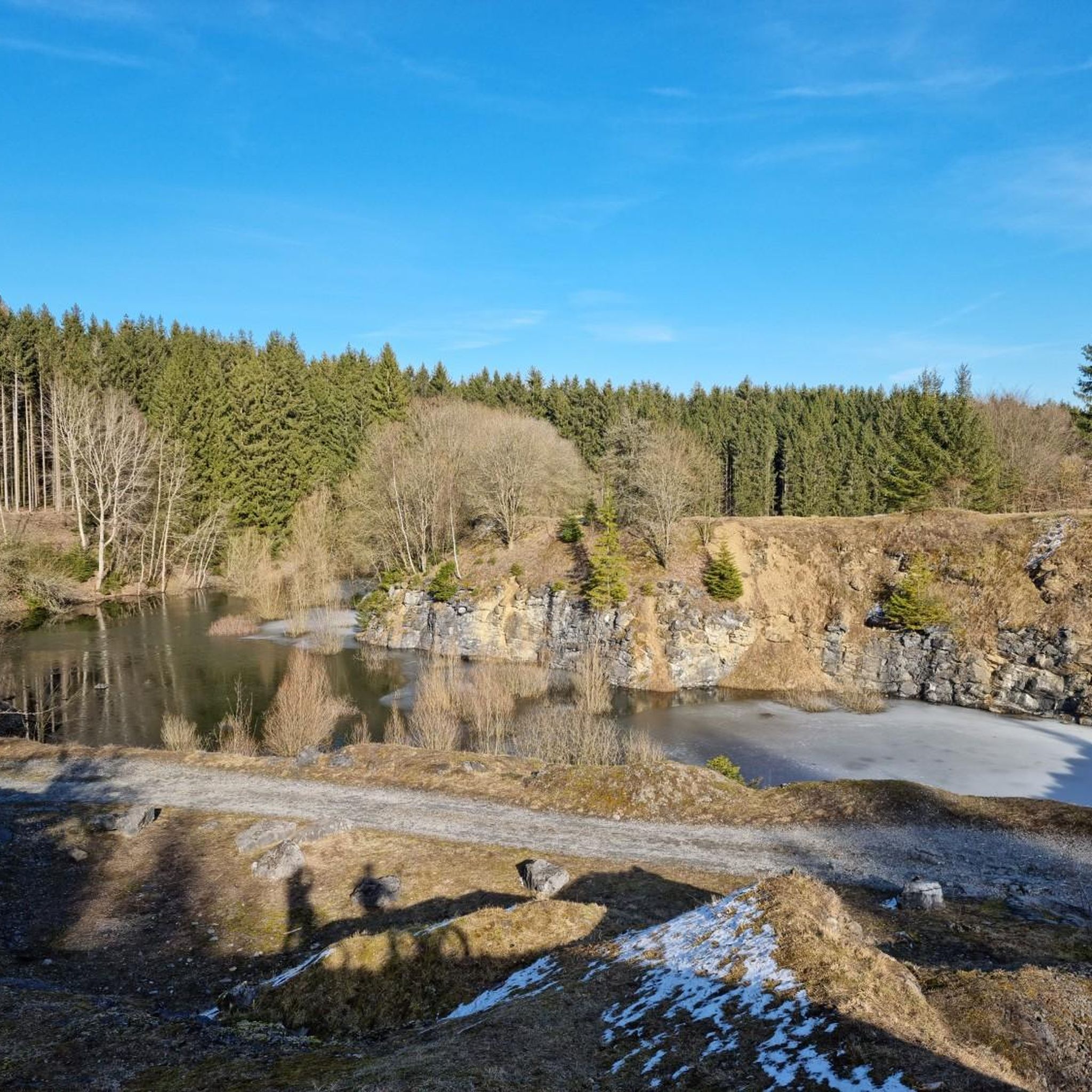
- The most popular hiking route is Trogenau Quarry Lake – Großer Rietschnteich loop from Regnitzlosau, a 3.6 miles (5.8 km) trail that takes 1…
Last updated: August 7, 2026
4.7
(43)
93
hikers
Moderate hike. Good fitness required. Easily-accessible paths. Suitable for all skill levels.
4.8
(20)
53
hikers
Easy hike. Great for any fitness level. Easily-accessible paths. Suitable for all skill levels.

Sign up for free
4.6
(15)
48
hikers
4.81km
01:17
60m
60m
Easy hike. Great for any fitness level. Easily-accessible paths. Suitable for all skill levels.
4.5
(11)
45
hikers
7.74km
02:02
70m
70m
Moderate hike. Good fitness required. Easily-accessible paths. Suitable for all skill levels.
4.5
(15)
55
hikers
10.8km
02:55
150m
150m
Moderate hike. Good fitness required. Easily-accessible paths. Suitable for all skill levels.
Get access to more routes and recommendations from other explorers.
Sign up for free
Already have an account?
Our route recommendations are based on thousands of hikes, rides, and runs completed by other people on komoot.
Start today with a free account
Your next adventure awaits.
Login or Signup

Tips from the Community

The atonement cross is said to be a sign of a serious crime: A duel between two officers took place here. One of the duelists did not survive this conflict. As a result, the "right of atonement" was applied, which enabled the criminals to work off their deeds by erecting an atonement cross at the scene of the crime.
9
0
A moving place that invites you to pause and reflect. The memorial plaque and information point at Pabstleithen commemorate the fate of 57 families who were forcibly resettled between the 1950s and 1970s due to the proximity to the border. Where hikers now walk in the silence of the Green Belt, entire livelihoods were destroyed in the past.
14
0
From here you can see the former GDR border tower near Wiedersberg. It stands as a warning monument directly on the border between Saxony and Bavaria. In combination with the nearby Dreiländereck (three-country point), the oppressive history of the division, but also today's peace on the Green Belt is particularly noticeable here.
15
0
A highlight on the former death strip, which today connects the countries as the "Green Belt" lifeline. In addition to the historical border stones, the lovingly maintained soldier's grave on the German side is a silent witness to the past. The information boards on site provide a very clear explanation of the history of the surrounding deserted settlements.
15
0

You can easily take the on-demand bus to Papstleiten, then it's only a few kilometers to walk to km O.
2
0

Beautiful place with information board
1
0

All that remains of the mill is the expiatory cross, the mill stream with arched bridge, a cellar and the well. The residents were expelled after the Second World War before the border was built.
2
0
The green belt or the Kolonnenweg is not an ideal hiking trail. The slabs with the partially unfilled holes are difficult to walk on. In addition, the border follows the terrain and is not well adapted to it. There are steep passages. The green belt has developed into a nature reserve and is therefore popular with hikers. Nevertheless, it is advisable not to just follow the slabs and instead meander around the hiking trails.
2
2
Frequently Asked Questions
How many hiking trails are available in Regnitzlosau?
Regnitzlosau offers a wide selection of routes, with over 100 hiking trails available. These range from easy walks to more challenging routes, ensuring options for various preferences and fitness levels.
Are there easy hiking trails suitable for beginners or families in Regnitzlosau?
Yes, Regnitzlosau is well-suited for beginners and families, with 65 easy trails available. A great option is the View of the Old Border Tower – Wayside cross near Gottmannsgrün loop from Prex, which is 2.9 miles (4.6 km) long and takes about 1 hour 13 minutes, offering a pleasant walk through the border area.
Can I find circular hiking routes around Regnitzlosau?
Yes, many trails in Regnitzlosau are circular, allowing you to start and end at the same point. The Trogenau Quarry Lake – Großer Rietschnteich loop from Regnitzlosau is a popular circular route, covering 3.6 miles (5.8 km) and passing by a quarry lake and ponds.
What are some notable natural features or attractions I can see while hiking in Regnitzlosau?
The region is rich in natural beauty, characterized by gentle hills, extensive forests, and the winding Southern Regnitz river. You can discover surprising natural elements like rugged rock formations, wild orchids, and lilies near numerous ponds. The Tripoint Bavaria–Saxony–Czech Republic is a significant landmark, and the Wojaleite Nature Reserve offers further natural exploration.
Are there any historical trails or points of interest in the Regnitzlosau area?
Regnitzlosau has significant historical relevance, particularly concerning the former inner-German border. The Dreiländereck (Tri-border area) serves as an entry point to the Iron Curtain Trail. Trails like the Wayside cross near Gottmannsgrün – View of the Old Border Tower loop from Prex offer views of this historical border region, allowing hikers to explore the 'Green Belt' and literally 'hike without borders' since 1990.
Is Regnitzlosau a good destination for hiking with dogs?
Regnitzlosau's varied natural landscape, with its extensive forests and open meadows, makes it a great area for hiking with dogs. Many trails are suitable for walks with your canine companion, but always remember to keep dogs on a leash where required and respect local wildlife.
What is the best time of year to go hiking in Regnitzlosau?
Regnitzlosau offers a captivating hiking experience throughout the year. Warm summers are ideal for long walks, while autumn brings vibrant colors to the forests. Spring showcases blooming flora, and even winter offers snow-covered landscapes for a different kind of beauty.
Are there options for winter hiking in Regnitzlosau?
Yes, Regnitzlosau's landscape transforms into a picturesque winter wonderland. The gentle hills and forests become snow-covered, offering serene routes for winter hiking. Always check local conditions and trail accessibility before heading out in winter.
How long do hikes typically take in Regnitzlosau?
Hikes in Regnitzlosau vary in duration depending on the route and your pace. For example, the Raitschin Inn – Lily Pond loop from Raitschin is an easy 3-mile (4.8 km) trail that typically takes around 1 hour 17 minutes, while longer moderate routes can take over 2 hours.
What do other hikers say about their experience in Regnitzlosau?
The hiking routes in Regnitzlosau are highly rated by the komoot community, with an average score of 4.5 stars from over 300 reviews. Hikers often praise the varied terrain, the peaceful natural surroundings, and the well-maintained trails that cater to different skill levels.
Are there any challenging hikes for experienced trekkers in Regnitzlosau?
While Regnitzlosau is known for its gentle hills, there are a few routes that offer more challenge. The region features 2 difficult trails for those seeking a more strenuous workout. These routes often involve greater elevation changes or longer distances, providing a rewarding experience for experienced trekkers.
Are there any specific themed trails in Regnitzlosau?
Yes, Regnitzlosau boasts several specific themed trails that offer unique perspectives of the region's nature and history. These include the Dreiländereckweg, Kochkäsweg, Windparkweg, Raitschinerweg, Losauer Rundweg, Kolonnenweg, Kirchsteigweg, Steinbruchweg, and Museumsweg, each providing a distinct experience.
Can I find any caves or unique geological features while hiking?
Yes, the area around Regnitzlosau offers interesting geological features, including several caves. You can explore highlights such as the Gold Mine Tunnel on the Geopath, the Langheinrich Grotto and Memorial Plaque, or the Robbers' Cave, adding an adventurous element to your hike.
Most popular routes around Regnitzlosau
Most popular attractions around Regnitzlosau

Get inspired with the komoot mobile app


Explore more
Browse the best Hikes in other regions.
