The best walks and hikes around Moricone
4.4
(1140)
4,313
hikers
128
hikes
Hiking around Moricone offers access to diverse natural landscapes within the Metropolitan City of Rome Capital, Italy. The region is characterized by varied elevations, including the prominent Monte Gennaro, and features open meadows and areas with centuries-old beech trees. These natural environments provide a range of terrains suitable for different fitness levels, from challenging mountain ascents to more accessible paths. The Lazio region, where Moricone is situated, is known for its natural features, making it a suitable location for outdoor…
Last updated: August 1, 2026
4.7
(58)
247
hikers
11.3km
04:15
750m
750m
Moderate hike. Good fitness required. Easily-accessible paths. Suitable for all skill levels.
4.6
(43)
195
hikers
17.1km
06:34
1,190m
1,190m
Hard hike. Very good fitness required. Mostly accessible paths. Sure-footedness required.

Sign up for free
4.7
(46)
194
hikers
16.4km
06:06
1,070m
1,070m
Hard hike. Very good fitness required. Easily-accessible paths. Suitable for all skill levels.
4.6
(17)
31
hikers
16.7km
06:57
1,200m
1,200m
Hard hike. Very good fitness required. Mostly accessible paths. Sure-footedness required.
4.8
(4)
22
hikers
22.5km
08:29
1,150m
1,150m
Hard hike. Very good fitness required. Sure-footedness, sturdy shoes and alpine experience required.
Get access to more routes and recommendations from other explorers.
Sign up for free
Already have an account?
Our route recommendations are based on thousands of hikes, rides, and runs completed by other people on komoot.
Start today with a free account
Your next adventure awaits.
Login or Signup

Tips from the Community

From here on, it's a hike for experts. There are no CAI flags (or at least I didn't see any), nor is the trail clearly marked. There are only a few stone cairns, but it's mostly a matter of feeling. The return time is much longer than indicated.
0
0

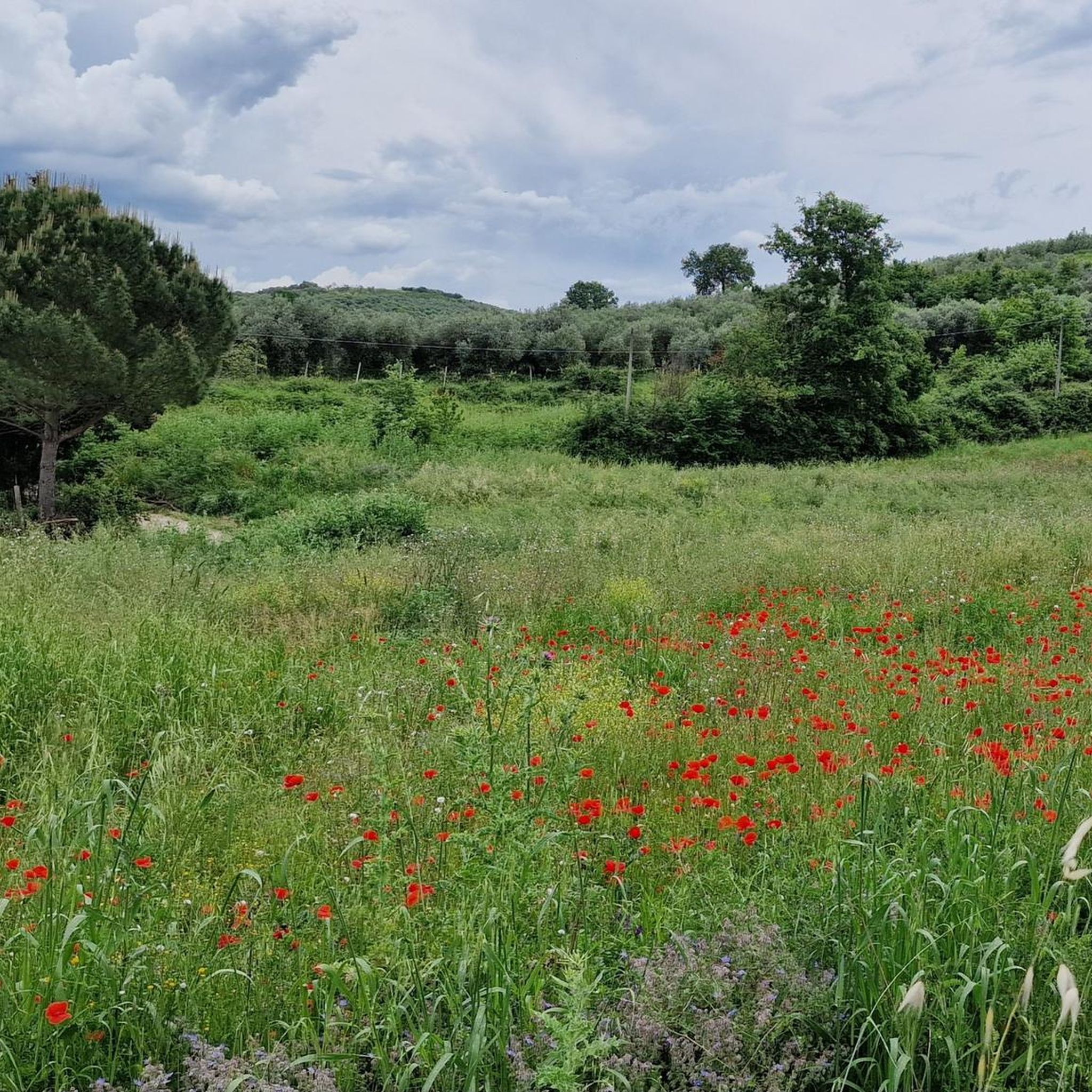
A wonderful clearing where we can find wild cattle grazing. There are many varieties of beautiful flowers to admire (and please do not pick!) From here we begin the climb to the wonderful peak of Monte Gennaro
0
0

A huge and beautiful beech tree of 200 or 300 years. There are several of these in the park. The photo does not convey its size.
0
0

Danger!!! the path is not calculated well!!! attention!!!! only for experts!!!!
1
1

over time a short stretch of flat path has been marked out with stones, suggestive
0
0

Suggestive to say the least, very low grass and populated by cows and horses. An excellent refreshment point before the summit!
0
1
Visible from miles away, and far from ancient, it represents one of the symbols of the mountain. For the more athletic and risk-takers there is also an iron staircase planted inside which would allow you to climb to the top of the tower. It is strongly not recommended judging by the stability of the structure.
0
0
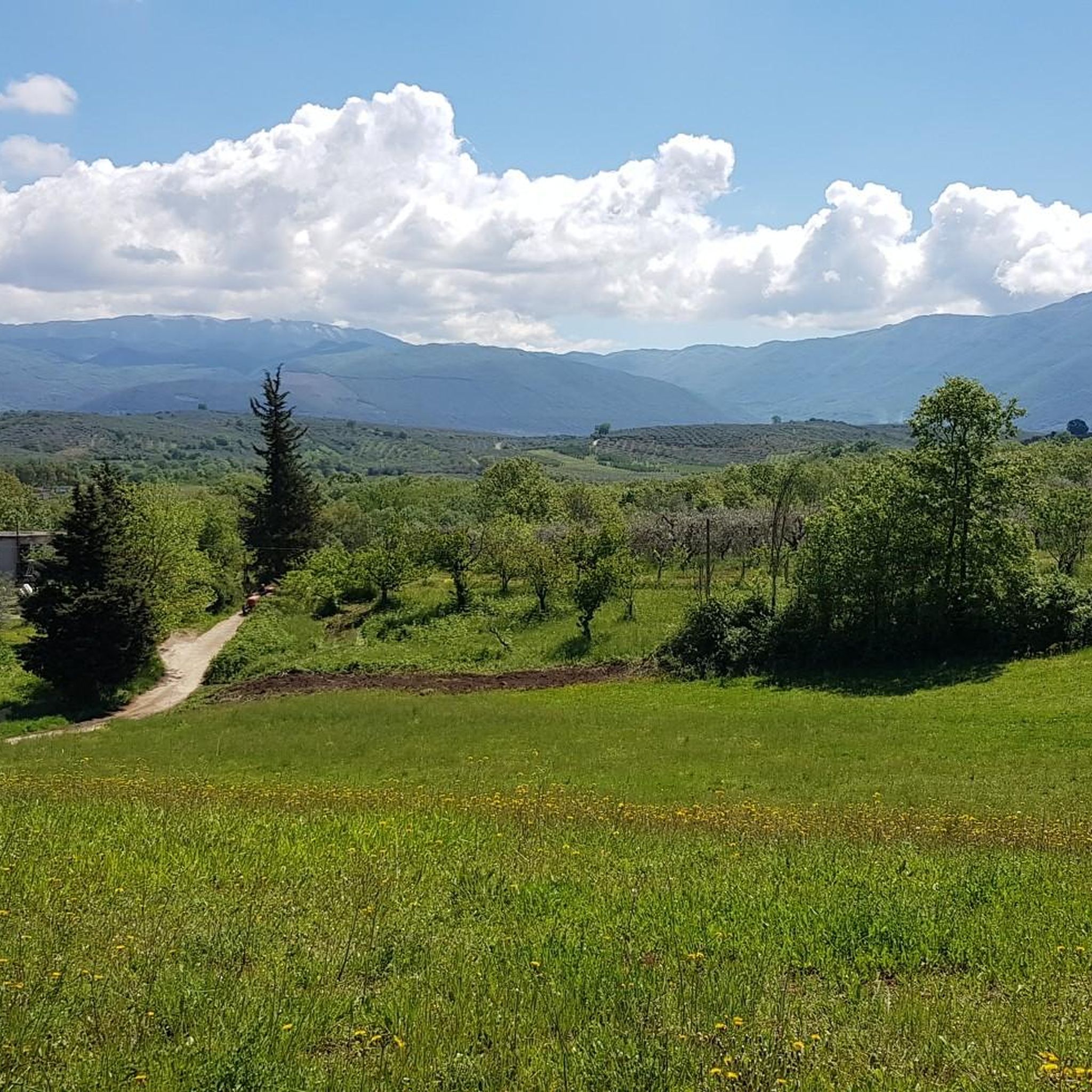
There is the possibility to choose how to reach the top of Gennaro either via the path or the dirt road. The first is more impervious but with a beautiful view of the Roman plain; the second, very well groomed but with a greater difference in altitude. The two roads meet in front of the Monte Gennaro refuge and then continue towards the top.
0
0
Frequently Asked Questions
What kind of hiking trails can I expect around Moricone?
Moricone offers a diverse range of hiking trails, from challenging mountain ascents to more accessible paths. You'll find varied terrains, including open meadows, areas with centuries-old beech trees, and routes leading to prominent peaks like Monte Gennaro. There are over 90 routes available, catering to different fitness levels.
Are there any easy hiking trails suitable for beginners or families in Moricone?
Yes, Moricone has approximately 20 easy hiking trails. These routes typically feature less elevation gain and are suitable for those looking for a more relaxed experience or hiking with family. While specific easy routes aren't detailed here, you can find many options on komoot that are less than 300 meters in elevation gain.
What are some notable natural features or landmarks to look out for on hikes near Moricone?
The region is rich in natural beauty. Many trails lead through impressive areas with large, centuries-old beech trees and open meadows where you might spot grazing cows and horses. You can also explore highlights like the Monte Gennaro Meadow or the Gattaceca and Barco Nature Reserve. For historical interest, consider visiting the Abbey of Farfa or the Ruins of San Martino Abbey on Mount Acuziano.
Can I find circular hiking routes around Moricone?
Yes, many of the hiking routes around Moricone are designed as loops, allowing you to start and end at the same point. For example, the difficult Monte Gennaro Tower – Monte Gennaro Summit loop from Palombara Sabina is a popular circular option, as is the moderate Torre Fiora – Cyclist's Bend loop from Terme di Cretone.
What is the best season to go hiking in Moricone?
The Lazio region, where Moricone is located, offers diverse landscapes that can be enjoyed across multiple seasons. While specific recommendations depend on the trail, spring and autumn generally provide pleasant temperatures and vibrant scenery. Summer can be warm, especially on exposed trails, while winter hikes might offer unique views but require appropriate gear for higher elevations.
Are there any challenging hikes for experienced hikers in the Moricone area?
Absolutely. Moricone is home to several difficult trails, particularly those leading to the summit of Monte Gennaro. An example is the challenging Monte Gennaro Saddle – Monte Gennaro Summit loop from Palombara Sabina, which covers 17.3 km with nearly 1000 meters of elevation gain.
What do other hikers say about the trails in Moricone?
The hiking routes in Moricone are highly rated by the komoot community, with an average score of 4.4 stars from over 870 reviews. More than 3000 hikers have used komoot to explore the varied terrain, often praising the diverse elevations, open meadows, and ancient beech tree forests.
Are there any trails that offer expansive views or viewpoints?
Many trails, especially those ascending Monte Gennaro, offer expansive and picturesque views. The Monte Gennaro Meadow – Monte Gennaro Summit loop from Palombara Sabina, for instance, passes through open meadows and provides broad vistas as you approach the summit. Summits like Pizzo Pellecchia and Monte Guardia also offer excellent viewpoints.
How long do hikes around Moricone typically take?
Hiking durations vary significantly based on the trail's length and difficulty. For example, a difficult 12.3 km loop like Monte Gennaro Tower – Monte Gennaro Summit loop can take around 5 hours. A longer, more strenuous 24.2 km route to Monte Gennaro's summit might take closer to 9 hours. Moderate trails, such as the 15.3 km Beechcraft C-45 wreckage loop, can be completed in about 4 hours 40 minutes.
Are there any trails with historical points of interest?
Yes, beyond natural beauty, the area offers historical sites. You can find trails that lead near or past locations like the Ruins of San Martino Abbey on Mount Acuziano or the Abbey of Farfa, providing a blend of outdoor activity and cultural exploration.
What is the typical elevation gain on hikes in Moricone?
The elevation gain varies widely. Some easier routes have less than 300 meters of elevation gain, making them suitable for casual walks. However, challenging mountain ascents, particularly to Monte Gennaro, can involve significant climbs. For instance, one difficult route to Monte Gennaro's summit has an elevation gain of over 1400 meters.
Most popular attractions around Moricone

Get inspired with the komoot mobile app


Explore more
Browse the best Hikes in other regions.
