The best road cycling routes around Percile
4.5
(30)
1,645
riders
44
rides
Road cycling routes around Percile are situated within Italy's Monti Lucretili Regional Natural Park, offering a diverse and picturesque natural landscape. The area features a mountainous environment with altitudes ranging from approximately 600 to 1200 meters above sea level, providing varied terrain for cyclists. Dense forests, particularly extensive beech forests in higher elevations, characterize the region, alongside winding roads that traverse the landscape. This setting provides both scenic rides and challenging ascents for road cyclists.
Best road cycling routes around…
Last updated: August 2, 2026
5.0
(1)
125
riders
93.3km
05:24
2,160m
2,160m
Hard road ride. Very good fitness required. Some segments of this route may be unpaved and difficult to ride.
4.7
(3)
494
riders
86.7km
05:07
2,090m
2,090m
Hard road ride. Very good fitness required. Some segments of this route may be unpaved and difficult to ride.

Sign up for free
5.0
(2)
188
riders
112km
06:24
2,460m
2,460m
Hard road ride. Very good fitness required. Some segments of this route may be unpaved and difficult to ride.
5.0
(1)
87
riders
94.0km
04:56
1,670m
1,670m
Hard road ride. Very good fitness required. Some segments of this route may be unpaved and difficult to ride.
51
riders
114km
05:54
2,030m
2,030m
Hard road ride. Very good fitness required. Mostly well-paved surfaces and easy to ride.
Get access to more routes and recommendations from other explorers.
Sign up for free
Already have an account?
Our route recommendations are based on thousands of hikes, rides, and runs completed by other people on komoot.
Start today with a free account
Your next adventure awaits.
Login or Signup
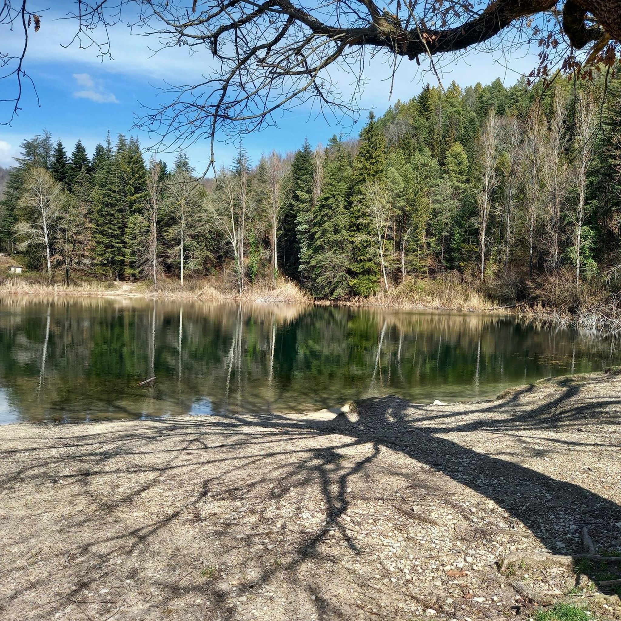
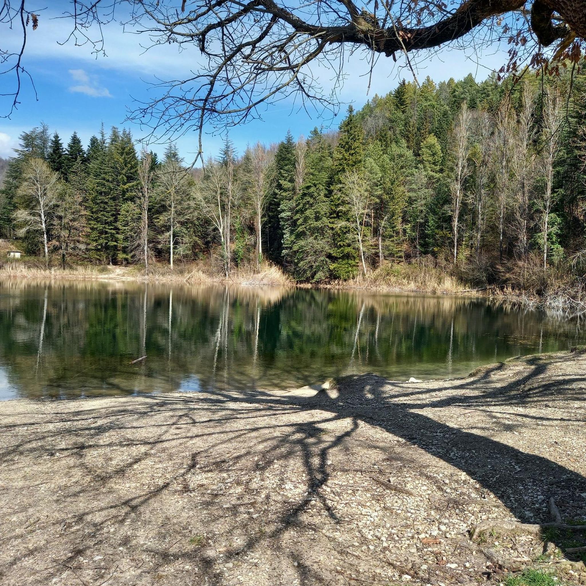
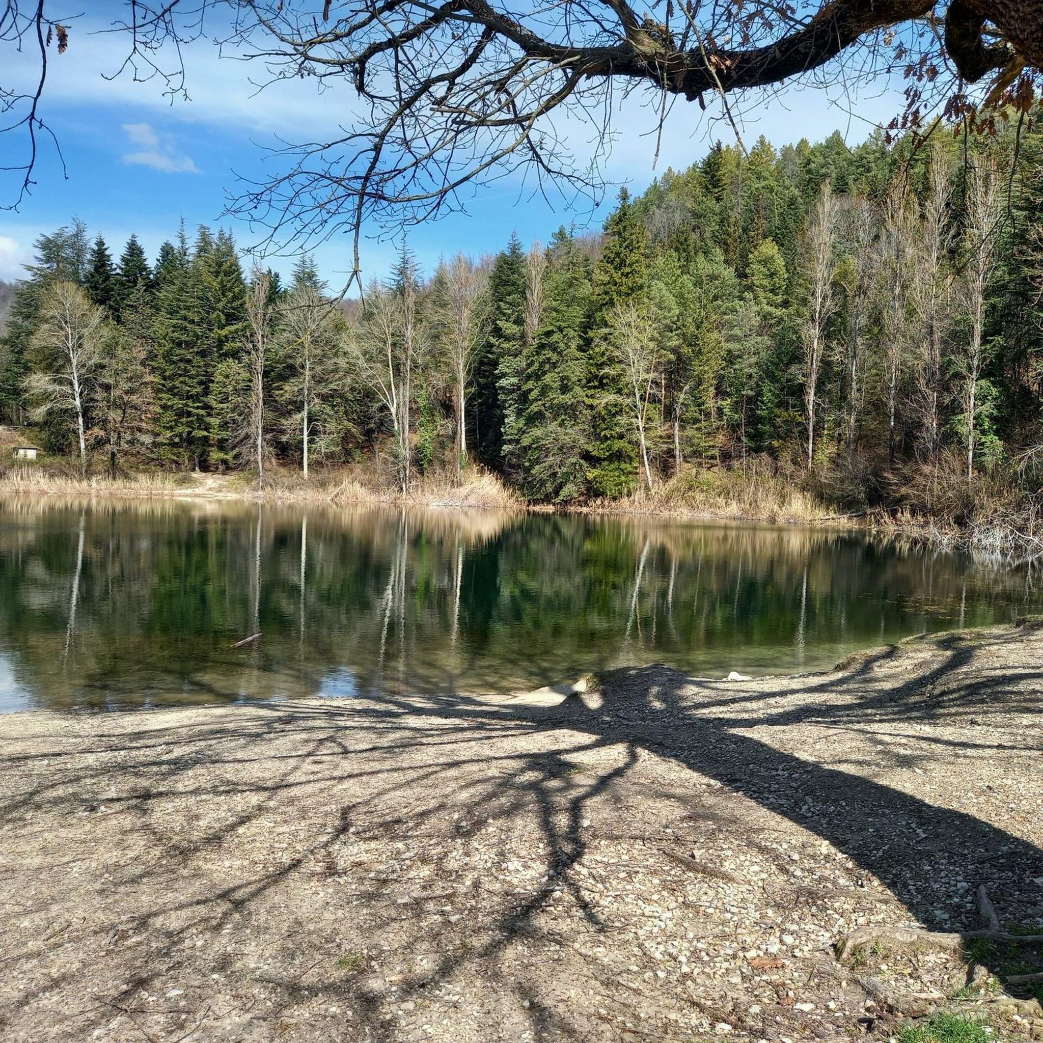

Tips from the Community

view of Borgo Antuni (for guided tours www.camminandocon.org)
0
0


Of course, it can also be done easily on a road bike with 28" tires and up.
0
0

wonderful, suitable for gravel bikes
0
0


The plateau is beautiful, but the buildings are much less so, often dilapidated, an example of the building outrage of the seventies.
3
0

Lago del Salto is a small but successive artificial lake near Rieti whose circumference is about 32 km of asphalted and mostly flat road. A wonderful route to do by bike, even with the family, taking into account both the low car traffic and the good condition of the road surface perfectly passable with MTB, GRAVEL, City Bike, Racing bike etc. and the beautiful naturalistic views of the lake and the mountains. Along the route there are several rest areas where you can rest and eat a sandwich, but there is also a bar with a beautiful view near the dam. Also along the route you will encounter the town of Fiumata, diametrically opposite the dam, and the town of Borgo San Pietro, halfway between Fiumata and the dam, this is the ideal starting point thanks to the large spaces available for parking cars, but above all for the numerous restaurants with a view of the lake, open all year round and offering excellent local dishes, ideal to enjoy especially after a nice ride like this. For those who want to make the undertaking more challenging there is the variant that passes through Varco Sabino and then through the town of Rigatti, the tour is extended by a total of 10 km, testing a truly challenging climb and descent. Definitely worth trying.
0
0

The river Aniene passes underneath it
1
0
Frequently Asked Questions
What kind of terrain can I expect when road cycling around Percile?
Road cycling around Percile offers a diverse and mountainous environment within Italy's Monti Lucretili Regional Natural Park. You'll encounter altitudes ranging from approximately 600 to 1200 meters above sea level, providing varied terrain with challenging climbs and exhilarating descents. The landscape is characterized by dense forests, winding roads, and panoramic views across the Aniene Valley.
Are there road cycling routes suitable for beginners or those looking for an easier ride?
While many routes in the Percile area are considered difficult due to significant elevation gains, there are options for varying ability levels. The guide indicates that out of 32 total routes, 8 are classified as moderate and 1 as easy, suggesting that less strenuous options are available for those new to road cycling or seeking a more relaxed experience.
What are some of the most scenic viewpoints or natural attractions along the road cycling routes?
The region is rich in natural beauty. Cyclists can enjoy views of the Monti Lucretili Regional Natural Park, which features extensive beech forests and serene spots like the Lagustelli di Percile, two small karst lakes. Higher elevations offer expansive views across the Aniene Valley and towards the Cimate delle Serre. You might also pass by the Monte Gennaro Meadow or the Pizzo Pellecchia summit.
What do other road cyclists enjoy most about cycling in Percile?
The road cycling routes around Percile are highly rated by the komoot community, with an average score of 4.8 stars from over 20 reviews. Cyclists often praise the challenging mountainous terrain, the beauty of the dense forests, and the winding roads that offer both physical challenge and breathtaking scenery. Over 1,500 road cyclists have used komoot to explore this varied landscape.
Are there any circular road cycling routes available near Percile?
Yes, there are several circular road cycling routes. For example, 'The Omar Bend – Ascent to Monte Livata loop from Roviano' is a difficult 86.7 km path offering a challenging loop with substantial elevation gain. Another option is the 'Altipiani di Arcinazzo – Ascent to Monte Livata loop from Roviano', a 110.0 km trail through mountainous terrain.
What is the best time of year for road cycling in Percile?
Given the mountainous terrain and altitudes up to 1200 meters, the spring and autumn months generally offer the most pleasant conditions for road cycling in Percile. Summers can be warm, especially at lower elevations, while winters may bring colder temperatures and potential snow at higher altitudes, making cycling more challenging. Always check local weather forecasts before your ride.
Are there any historical landmarks or castles to see while cycling?
Yes, the region around Percile is dotted with historical sites. While cycling, you might encounter charming medieval villages like Cineto Romano or Orvinio. Notable castles and ruins include the Castello Orsini-Cesi-Borghese in San Polo dei Cavalieri and the Morella Ruins.
Where can I find parking for road cycling routes in Percile?
While specific parking areas for cyclists are not detailed, Percile is a small village. Generally, parking can be found in or near the village center. For routes starting from nearby towns like Roviano or Mandela, you would typically look for public parking facilities in those locations. It's advisable to check local signage upon arrival.
Are there cafes or places to stop for refreshments along the road cycling routes?
Percile itself is a small village and will have limited options. However, many road cycling routes in the Lazio region pass through or near other charming medieval villages. These villages often offer local cafes, restaurants, or small shops where you can stop for refreshments. Planning your route to include these stops can enhance your cycling experience.
What is the longest road cycling route around Percile?
One of the longest routes is 'Altipiani di Arcinazzo – Ascent to Monte Livata loop from Roviano', which spans 110.0 km (68.3 miles) and typically takes about 6 hours and 18 minutes to complete, featuring significant elevation gain.
Can I reach Percile by public transport if I'm bringing my bike?
Public transport options to Percile might be limited, as it is a small village nestled in a natural park. While some regional bus services may connect to larger towns in Lazio, direct routes to Percile that accommodate bicycles might be infrequent or require prior arrangement. For detailed information on public transport to Percile, it's recommended to consult local transport authorities or resources like Visit Lazio.
Are there any specific permits required for cycling in Monti Lucretili Regional Natural Park?
Generally, no specific permits are required for road cycling on public roads within the Monti Lucretili Regional Natural Park. However, it's always good practice to respect park regulations, stay on designated roads, and be mindful of the natural environment. For any specific inquiries, you might consult official park information.
Most popular routes around Percile
Most popular attractions around Percile

Get inspired with the komoot mobile app


Explore more
Browse the best Road cycling routes in other regions.
