The best road cycling routes around Rattenkirchen
4.6
(279)
3,187
riders
426
rides
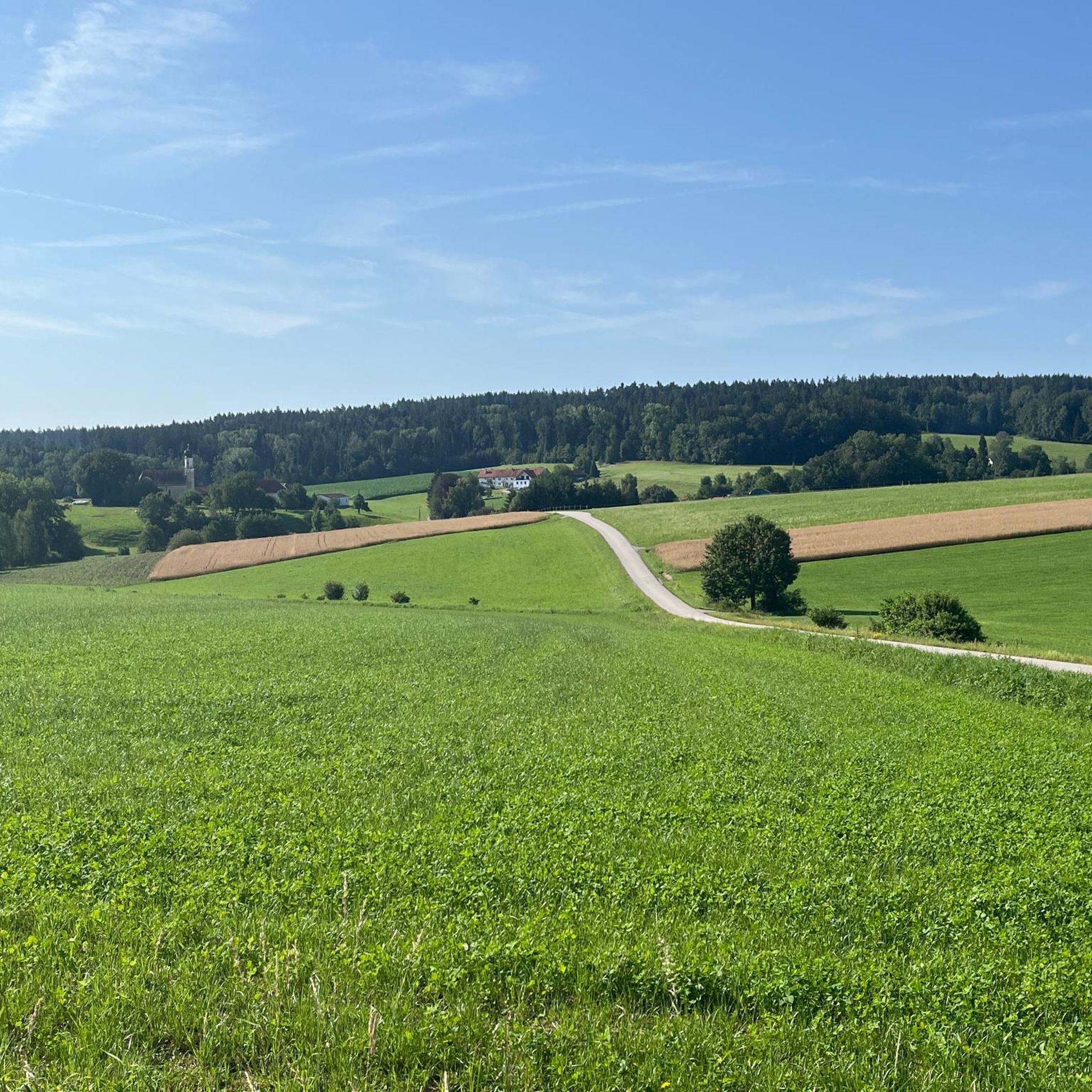
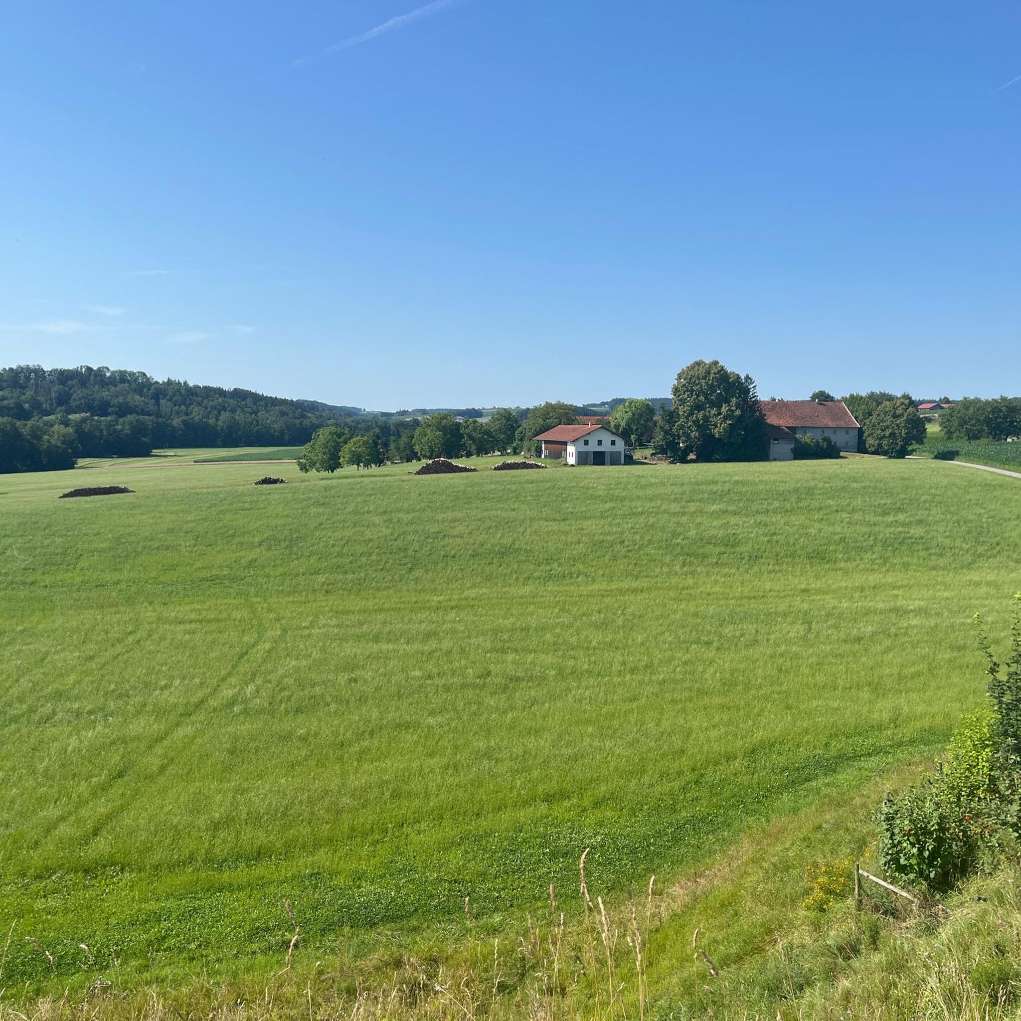
Road cycling around Rattenkirchen offers routes through the gently rolling landscapes of the Inn-Salzach region in Upper Bavaria. The area features an elevation range from 415 meters to 576 meters above sea level, characterized by gentle hills, river valleys, and expansive agricultural lands. Cyclists can expect to pass through fields, pastures, and wooded areas, providing a tranquil natural environment. The region's topography supports both leisurely rides and routes with moderate challenges.
Best road cycling routes around Rattenkirchen
- The most popular…
Last updated: June 21, 2026
5.0
(1)
32
riders
80.5km
03:23
510m
510m
Moderate road ride. Good fitness required. Mostly well-paved surfaces and easy to ride.
4.7
(3)
15
riders
52.2km
02:23
570m
570m
Moderate road ride. Good fitness required. Mostly well-paved surfaces and easy to ride.

Sign up for free
10
riders
56.5km
02:26
340m
340m
Moderate road ride. Good fitness required. Some segments of this route may be unpaved and difficult to ride.
6
riders
65.7km
03:04
690m
690m
Moderate road ride. Good fitness required. Mostly well-paved surfaces and easy to ride.
5.0
(1)
8
riders
Moderate road ride. Good fitness required. Mostly well-paved surfaces and easy to ride.
Get access to more routes and recommendations from other explorers.
Sign up for free
Already have an account?
Our route recommendations are based on thousands of hikes, rides, and runs completed by other people on komoot.
Start today with a free account
Your next adventure awaits.
Login or Signup

Tips from the Community


A great, well-organized beer garden 👍🏻😄
0
0


Very nice cycling paths here on the Inn
0
0

Don't just eat ice cream. Also have a very good espresso!
0
0

Beautiful, directly opposite it is a few minutes uphill to the even higher viewpoint
0
0

From Dorfen to Velden, 116 km. Excellently developed. Old railway line.
1
0

Nice location and if the carriage is open you're sure to get something to eat and drink.
0
0
Frequently Asked Questions
What kind of terrain can I expect when road cycling around Rattenkirchen?
The region around Rattenkirchen features a diverse landscape with gentle hills and valleys, ranging from 415 to 576 meters above sea level. You'll find routes through idyllic river meadows, fields, pastures, and wooded areas, offering both leisurely rides and moderate challenges. The area is known for its gently rolling Bavarian landscapes.
Are there road cycling routes suitable for beginners or families in Rattenkirchen?
Yes, Rattenkirchen offers routes suitable for various skill levels. For beginners and families, paths like the Vils Cycle Path are ideal due to their excellent asphalt and very flat profile. An example is the View of Wurmsham – Isen Bridge loop from Weidenbach, which is an easy 22.4-mile route through rural landscapes with gentle undulations.
What are some scenic natural features or attractions I can see along the road cycling routes?
Road cycling routes often pass through picturesque river valleys and offer magnificent views over the Isental. You can also discover cultural and historical highlights. For instance, the View of Stampflschloss – View of the Inn River loop from Weidenbach provides views of the Inn River. Nearby attractions include various lakes like Grüne Lagune Ampfing and Lain am See, as well as natural monuments such as the Kettle hole.
When is the best time of year to go road cycling in Rattenkirchen?
The Inn-Salzach region, including Rattenkirchen, is generally pleasant for cycling during spring, summer, and early autumn. These seasons offer favorable weather conditions to enjoy the verdant farmlands and natural scenery. Always check local weather forecasts before heading out.
Are there many loop routes for road cycling around Rattenkirchen?
Yes, many of the road cycling routes around Rattenkirchen are designed as loops, allowing you to start and end at the same point. Examples include the popular Vilstal Cycle Path – Zum Waggon beer garden loop from Weidenbach and the Ampfing Airfield – Ranoldsberg Village Center loop from Weidenbach.
What do other road cyclists enjoy most about road cycling in Rattenkirchen?
The road cycling routes in Rattenkirchen are highly rated by the komoot community, with an average score of 4.6 stars from over 300 reviews. Cyclists often praise the tranquil natural environment, the well-maintained paths, and the variety of routes that cater to different fitness levels, from easy rides to those with moderate climbs.
Are there places to rest or get refreshments along the routes?
Yes, the cycling network in the Inn-Salzach region is well-equipped with infrastructure for cyclists. You can find numerous rest areas with benches along popular paths. The region also promotes 'farm cafés' and local gasthäuser as welcoming stops for cyclists, offering opportunities for refreshments and meals.
How extensive is the road cycling network in the Rattenkirchen area?
Rattenkirchen is part of an extensive cycling network within the Inn-Salzach region. There are over 430 road cycling routes available on komoot alone. The broader region boasts approximately 1,500 kilometers of cycle paths, including 24 uniformly signposted and tested themed routes, ensuring a wide variety of options for road cyclists.
Can I expect quiet roads for road cycling in Rattenkirchen?
Many of the routes in the Rattenkirchen area utilize lightly trafficked country roads, which are highly desirable for road cyclists seeking a peaceful and enjoyable experience. The region's agricultural and rural character contributes to a tranquil setting away from heavy traffic.
Are there any challenging road cycling routes for experienced riders?
While the terrain is generally gently rolling, there are routes that offer moderate challenges and prominent hills for those seeking a workout. For example, the Parish Church of Ampfing – Fast section on a rural road loop from Weidenbach is a moderate 31.9-mile route with over 300 meters of elevation gain, providing a more dynamic ride.
Is it possible to combine road cycling with visiting historical sites?
Absolutely. The Inn-Salzach region is rich in history and culture. Along your road cycling routes, you can encounter historical buildings and charming town squares. While not directly on a road cycling route listed here, the broader area features attractions like Haag Castle and Kraiburg Town Square, which can be incorporated into your cycling adventures.
Most popular routes around Rattenkirchen
Most popular attractions around Rattenkirchen

Get inspired with the komoot mobile app


Explore more
Browse the best Road cycling routes in other regions.
