The best walks and hikes around Saracinesco
4.3
(973)
3,291
hikers
107
hikes
Hiking around Saracinesco offers diverse landscapes and natural features. Situated at an elevation of 908 meters, the village is perched on a rocky outcrop northeast of Rome within the Monti Ruffi mountain range. The region overlooks the Aniene River Valley, providing varied terrain for outdoor activities.
Best hiking trails around Saracinesco
- The most popular hiking route is From Cineto Romano to Lake Fraturno – Parco Naturale Regionale dei Monti Lucretili, a 8.2 miles (13.2 km) trail that takes 4…
Last updated: October 26, 2026
4.4
(13)
34
hikers
16.8km
05:44
750m
750m
Hard hike. Very good fitness required. Mostly walkable paths. Sure-footedness required.
4.0
(22)
48
hikers
Moderate hike. Good fitness required. Mostly walkable paths. Sure-footedness required.

5.0
(2)
5
hikers
Easy hike. Easily walkable paths.
4.4
(5)
11
hikers
12.3km
03:59
540m
540m
Moderate hike. Good fitness required. Easily walkable paths.
5.0
(1)
10
hikers
11.1km
03:57
390m
390m
Moderate hike. Good fitness required. Mostly walkable paths. Sure-footedness required.
Get access to more routes and recommendations from other explorers.
Already have an account?
Our route recommendations are based on thousands of hikes, rides, and runs completed by other people on komoot.
Start today with a free account
Your next adventure awaits.


Tips from the Community

Trail segment with three small fords. Depending on the time of year and rainfall there is more or less water. The photos are from March.
0
0
Very suggestive waterfalls of the Rioscuro torrent.
0
0

wonderful place, the trail is very easy
1
0

This source of very fresh water is located near the village and can be reached by following a short stretch of the Coleman Trail. Right next to the stream there is a sculpture dedicated to the Cinetesi women (of Cineto Romano) who with their work have left a mark in the history of the town.
5
0
Cineto Romano is a small town that dominates the valley of the Ferrata stream. The old village rises right around the Orsini castle which, with its grandeur, defines the profile. From the town, with a short and simple walk also for families, you can reach the Rio Scuro waterfalls, a pleasant place surrounded by nature.
2
0

The humid environment is characterized by travertine formations and by the presence of crayfish (Austropotamibius pallipes), an indicator of the integrity of the ecosystem, and of the spectacled salamander (Salamandrina perspicillata). (Internet source)
1
0
Crayfish (Austropotamibius pallipes), indicator of the integrity of the ecosystem and the spectacled salamander (Salamandrina perspicillata).
1
0
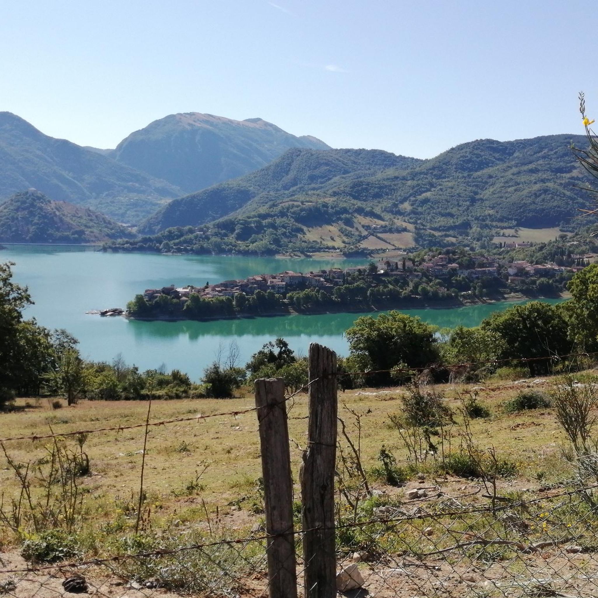
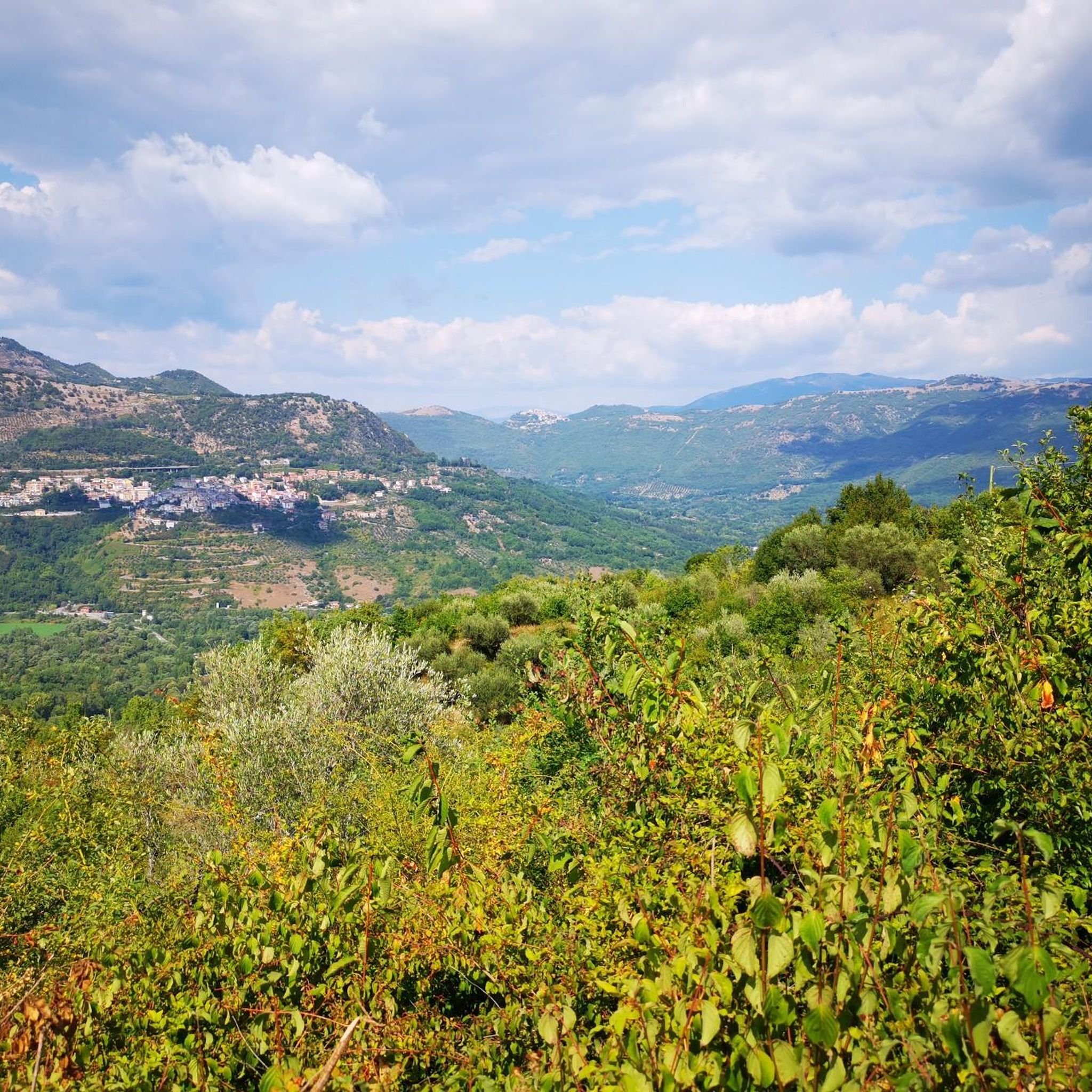
This stretch of uncovered path allows you to admire a splendid panorama towards the internal area of the Lazio Apennines. From the Lucretili mountains to the west, to the Ruffi and Simbruini to the south. The presence of animals in the wild, especially horses, gives a sense of peace and relaxation. It is worth stopping here for a few minutes and enjoying the view and the silence.
1
0
Frequently Asked Questions
How many hiking trails are available around Saracinesco?
There are nearly 100 hiking trails around Saracinesco, offering a wide range of options for different skill levels. You'll find everything from easy walks to challenging ascents within the Monti Ruffi mountain range and overlooking the Aniene River Valley.
Are there any easy hiking trails suitable for beginners or families?
Yes, Saracinesco offers several easy trails. For instance, the From Cineto Romano to Torrente Rio Freddo – Parco Naturale Regionale dei Monti Lucretili is an easy 2.5-mile (4.0 km) path that takes about 1 hour 24 minutes to complete, leading through the beautiful Monti Lucretili Regional Natural Park.
What kind of natural features or landmarks can I expect to see on the trails?
The region is rich in natural beauty and historical sites. You can explore the Monte Gennaro Meadow, known for its wild horses and cows, or discover the Rioscuro Stream Waterfalls, particularly vibrant in spring. The area also features the ruins of the Roman Aqueduct Anio Novus and the historic Benedictine Fortress.
Are there any trails that lead to significant viewpoints or summits?
Absolutely. Saracinesco is nestled within the Monti Ruffi, offering trails to peaks like Monte Costasole, the highest point of the range. You can also find routes leading to Pizzo Pellecchia, the second-highest peak of the Lucretili mountains, which forms part of a wide mountain ridge with challenging hikes and scenic vistas.
Can I find circular hiking routes around Saracinesco?
Yes, the area offers several circular routes. For example, the Cineto Romano – Rioscuro Stream Waterfalls loop from Cineto Romano is a moderate 6.4-mile (10.3 km) loop that allows you to experience the natural beauty of the waterfalls and surrounding streams.
What is the best season to go hiking in Saracinesco?
Spring is particularly recommended for hiking in Saracinesco. During this season, the Falconara Ditch fills with water, enhancing the beauty of the wooded areas, and the flora along trails like the Karol Wojtyła Trail to the Sanctuary of Mentorella is at its most vibrant.
Are there any trails that pass by lakes or water features?
Yes, you can find trails that lead to beautiful water features. The From Cineto Romano to Lake Fraturno – Parco Naturale Regionale dei Monti Lucretili is a moderate 8.2-mile (13.2 km) trail that takes you to Lake Fraturno. Another option is the challenging Cineto Romano to Anello dei lagustelli di Percile, which offers views of the small Lagustelli di Percile.
What do other hikers say about the trails in Saracinesco?
The hiking routes in Saracinesco are highly rated by the komoot community, with an average score of 4.3 stars from over 750 reviews. Hikers often praise the diverse landscapes, the sense of being far removed from urban bustle, and the variety of terrain available.
Are there any historical or religious sites accessible via hiking trails?
Yes, the region is home to significant historical and religious sites. The Karol Wojtyła Trail leads to the Sanctuary of Mentorella, one of Europe's oldest Marian sanctuaries, which also houses the tiny Cave of San Benedetto. The Benedictine Way, a long-distance hike, also passes near Saracinesco.
Is it possible to find accommodation or places to eat near the hiking areas?
Saracinesco itself is a charming medieval village, and while specific amenities for hikers are not detailed in the trail data, the presence of a small, always-open refuge with facilities at the Sanctuary of Mentorella suggests that basic provisions might be available in the immediate vicinity of popular trails. For broader options, nearby towns would offer more choices.
Are there any trails that feature ancient ruins or castles?
Yes, the area around Saracinesco is dotted with historical remnants. You can explore the ruins of the Roman Aqueduct Anio Novus on some trails. Additionally, nearby highlights include the Morella Ruins and the Ruins of Castel del Lago (Morella), offering a glimpse into the region's past.
What is the terrain like for hiking around Saracinesco?
The terrain around Saracinesco is quite varied, characterized by rocky outcrops, the Monti Ruffi mountain range, and the Aniene River Valley. You'll encounter a mix of wooded areas, open meadows like Monte Gennaro, and more challenging ascents, providing diverse hiking experiences.
Most popular attractions around Saracinesco

Get inspired with the komoot mobile app


Explore more
Browse the best Hikes in other regions.
