The best walks and hikes around Civita D'Antino
4.5
(505)
2,144
hikers
73
hikes
Hiking around Civita D'Antino offers access to the central Apennine mountains, characterized by rugged peaks, deep valleys, and dense forests. The region features a mix of challenging mountain ascents and more moderate trails through rolling hills and rural landscapes. Hikers can expect varied terrain, from rocky paths to forested tracks, with significant elevation changes. The area provides opportunities to explore natural features and historical sites within a mountainous setting.
Best hiking trails around Civita D'Antino
- The most popular hiking route…
Last updated: November 5, 2026
4.7
(12)
55
hikers
15.8km
06:40
1,240m
1,240m
Hard hike. Very good fitness required. Mostly walkable paths. Sure-footedness required.
4.7
(7)
46
hikers
12.6km
06:34
1,190m
1,190m
Hard hike. Very good fitness required. Sure-footedness, sturdy shoes and alpine experience required.

4.6
(5)
32
hikers
14.9km
06:39
1,350m
1,350m
Hard hike. Very good fitness required. Mostly walkable paths. Sure-footedness required.
5.0
(3)
18
hikers
10.0km
04:47
1,060m
1,060m
Hard hike. Very good fitness required. Easily walkable paths.
4.9
(7)
13
hikers
10.8km
03:27
440m
440m
Moderate hike. Good fitness required. Easily walkable paths.
Get access to more routes and recommendations from other explorers.
Already have an account?
Our route recommendations are based on thousands of hikes, rides, and runs completed by other people on komoot.
Start today with a free account
Your next adventure awaits.
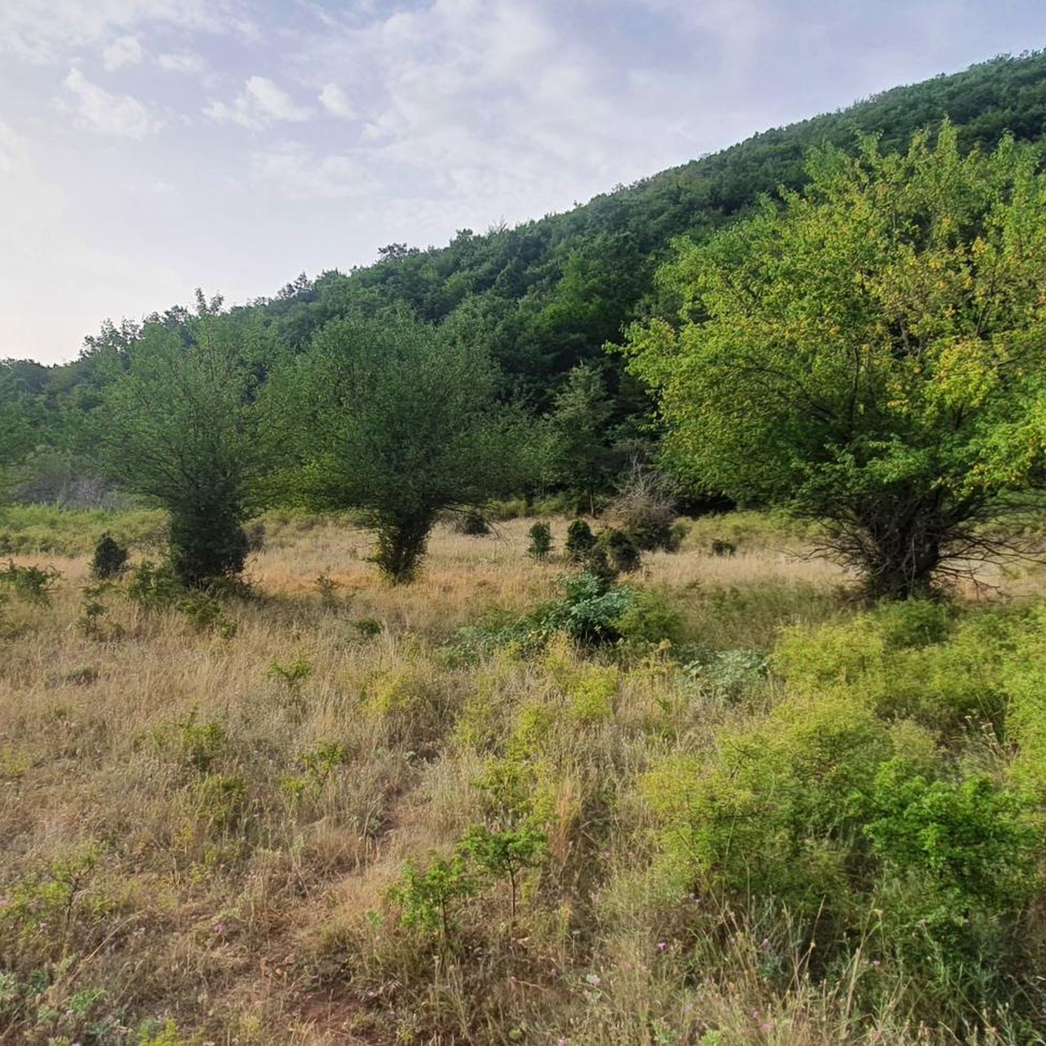
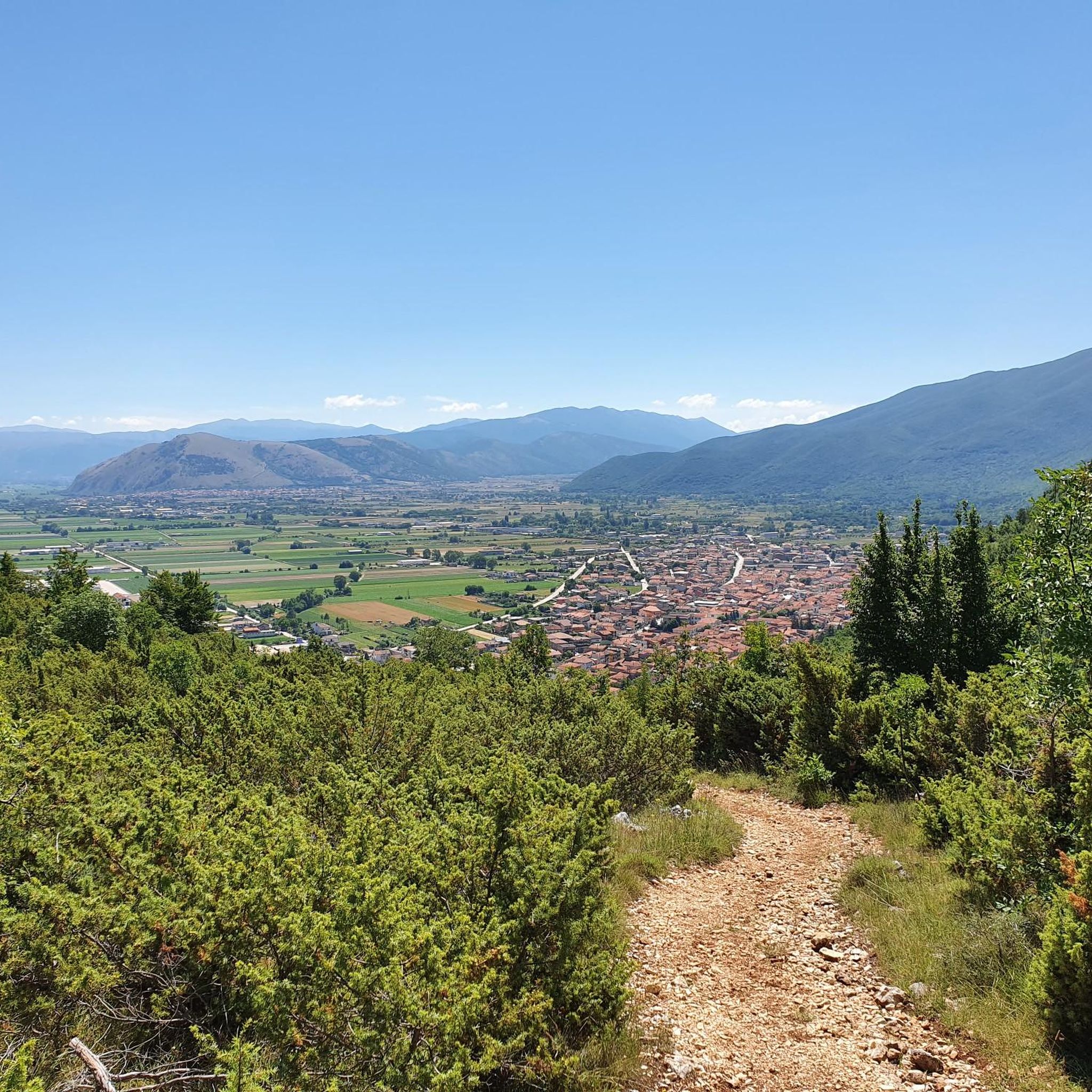
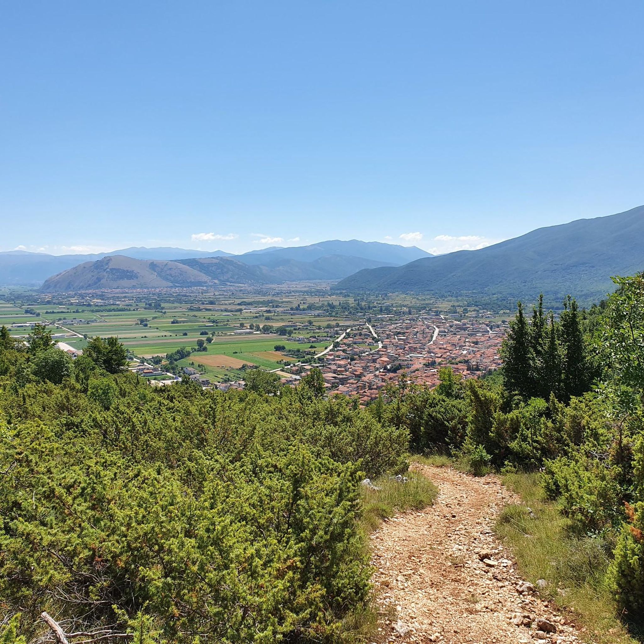
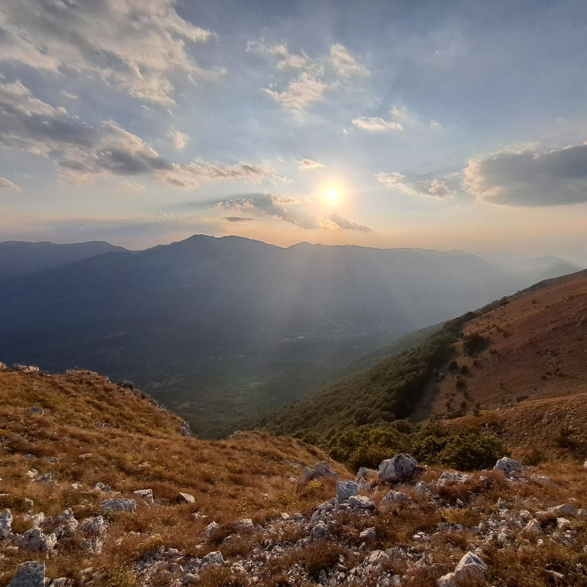
Tips from the Community

Hiking boots, fairly long and steep route.
0
0
Requires good training. No children, but the route can be bypassed by using the path under the gendarme to still reach the summit.
0
0

This place is worth a vote as you reach the top and if the weather permits you can see both the Tyrrhenian and Adriatic seas.
2
0

highest peak of the Ernici mountains, beautiful panorama over the main Abruzzo massifs and up to the Lazio islands
1
0

1200m above sea level. Challenging to get there but wonderful.
0
0

It is the highest peak overlooking the plain of Prato di Campoli. The ridge path that connects it to Pizzo Deta offers splendid views of the Ernici Mountains. The wallpapers under the top in the period of June are colored with splendid Gentian blooms
1
0

This peak is the highest of the Càntari Mountains and is located at 2156 m. From here it is possible to see the Fucino plain, the Gran Sasso (weather permitting), the Sirente-Velino chain, the Maiella, the Marsicani mountains, the Ernici mountains and the Simbruini mountains.
2
0
Frequently Asked Questions
How many hiking trails are available around Civita D'Antino?
There are over 60 hiking trails around Civita D'Antino, offering a wide range of options for different preferences and skill levels. The region features a mix of challenging mountain ascents and more moderate trails through rolling hills and rural landscapes.
Are there hiking trails for all skill levels in Civita D'Antino?
Yes, the Civita D'Antino area caters to various skill levels. You'll find 9 easy routes, 37 moderate routes, and 20 difficult routes, ensuring options for casual walkers and experienced mountaineers alike. The terrain varies from rocky paths to forested tracks with significant elevation changes.
Are there any circular hiking routes in Civita D'Antino?
Yes, many of the trails around Civita D'Antino are circular, allowing you to start and end at the same point. Examples include the challenging Mount Passeggio – Monte Pratillo Summit loop from Rendinara, or the moderate Hiking loop from Civita d'Antino, which takes you through local countryside.
What kind of natural attractions can I see along the hiking trails?
The trails around Civita D'Antino offer access to diverse natural monuments and scenic spots. You can encounter impressive summits like Monte Viglio summit (2,156 m) and Mount Passeggio, or discover tranquil spots like the Moscosa Spring. Some routes also feature waterfalls, such as the Small Waterfall.
Are there any challenging hikes for experienced hikers?
Absolutely. The central Apennine mountains around Civita D'Antino offer several demanding routes. For instance, the Monte Viglio – Monte Viglio summit (2,156 m) loop from Meta is a difficult 12 km trail with significant elevation gain, providing a true mountain challenge.
What is the best time of year to go hiking in Civita D'Antino?
The best time for hiking in Civita D'Antino is generally from late spring to early autumn (May to October). During these months, the weather is typically mild and stable, making mountain trails more accessible. Spring brings blooming wildflowers, while autumn offers vibrant foliage. Winter hiking is possible but requires appropriate gear and experience due to snow and ice at higher elevations.
What do other hikers enjoy most about hiking in Civita D'Antino?
The hiking experiences in Civita D'Antino are highly regarded by the komoot community, with an average rating of 4.5 stars from over 350 reviews. Hikers often praise the panoramic mountain views, the varied terrain, and the opportunities to explore both natural features and historical sites within a mountainous setting.
Are there any trails that feature waterfalls?
Yes, if you're looking for waterfalls, consider routes that pass by the Small Waterfall. For a longer adventure, the difficult Hermitage of Cauto – Zompo Lo Schioppo Waterfall loop from La Grancia is a great option, though it's a longer commitment at nearly 25 km.
What is the typical duration for hikes in this region?
Hike durations vary significantly depending on the route's length and difficulty. For example, the moderate Hiking loop from Civita d'Antino typically takes around 3 hours 27 minutes. More challenging mountain ascents, like the Monte Ginepro – Monte Cappello loop from Rendinara, can take closer to 4 hours 47 minutes or even longer for the most strenuous trails.
Is it possible to find parking near the trailheads?
While specific parking information for every trailhead isn't always available, many popular hiking areas and villages like Rendinara or Civita D'Antino itself typically offer designated parking spaces for visitors. It's advisable to check local signage or route descriptions for details on parking availability before you set out.
Are there any trails that offer expansive views of the surrounding landscape?
Many trails in the Civita D'Antino area provide stunning panoramic views due to the region's mountainous character. The Monte Ginepro – Monte Cappello loop from Rendinara, for example, traverses mountain ridges specifically known for offering expansive vistas of the surrounding landscape.
Most popular attractions around Civita D'Antino

Get inspired with the komoot mobile app


Explore more
Browse the best Hikes in other regions.
