The best walks and hikes around Radmer
4.7
(1613)
11,926
hikers
13
hikes
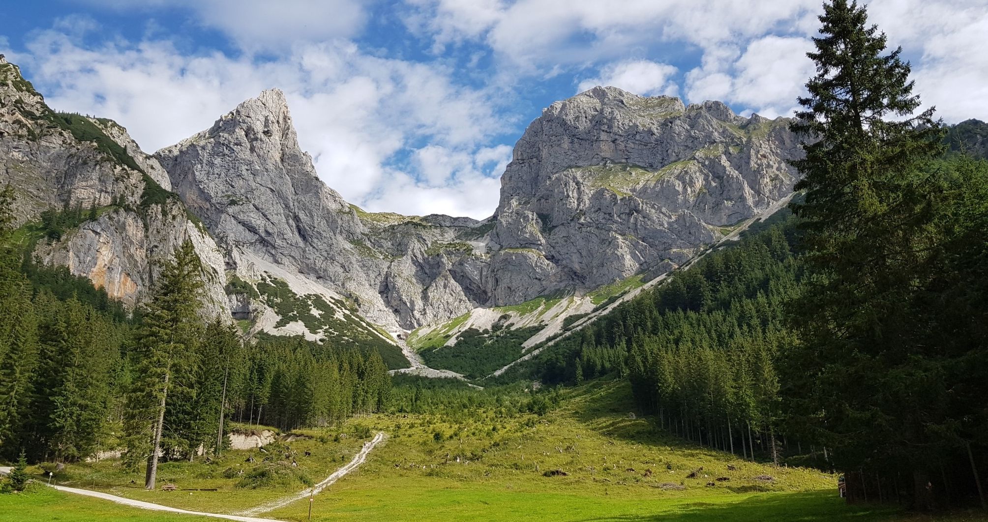
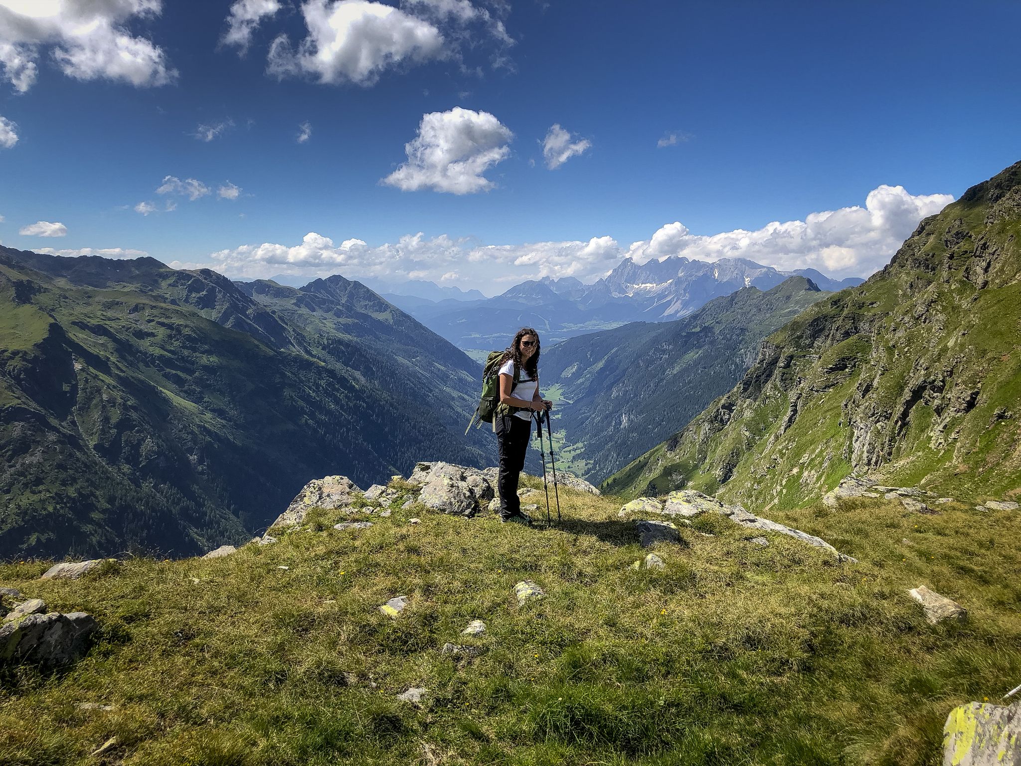
Hiking around Radmer, situated in Austria's Styria region, is defined by its diverse mountainous terrain, nestled between the Gesäuse National Park and the Eisenerz Alps. The landscape features prominent peaks such as the Lugauer, often referred to as the "Styrian Matterhorn," and the Zeiritzkampel. Hikers can explore scenic valleys, high-altitude alms like Neuburgalm, and extensive natural areas. This region offers a blend of wild and tranquil environments for outdoor activities.
Best hiking trails around Radmer
- The most popular hiking route…
Last updated: November 1, 2026
4.9
(10)
84
hikers
13.4km
05:53
1,120m
1,120m
Hard hike. Very good fitness required. Sure-footedness, sturdy shoes and alpine experience required.
4.8
(4)
31
hikers
Moderate hike. Good fitness required. Mostly walkable paths. Sure-footedness required.

5.0
(2)
20
hikers
13.6km
04:32
650m
650m
Moderate hike. Good fitness required. Easily walkable paths.
16
hikers
15.3km
05:20
860m
860m
Hard hike. Very good fitness required. Easily walkable paths.
5.0
(1)
6
hikers
20.2km
08:15
1,480m
1,480m
Hard hike. Very good fitness required. Sure-footedness, sturdy shoes and alpine experience required.
Get access to more routes and recommendations from other explorers.
Already have an account?
Our route recommendations are based on thousands of hikes, rides, and runs completed by other people on komoot.
Start today with a free account
Your next adventure awaits.


Tips from the Community

When planning a trip, one often underestimates how far apart the individual sights are. Especially on Phuket, short distances can take longer than expected due to traffic. Therefore, it is worth marking the most important destinations on a map in advance and planning enough time for spontaneous stops. Those who want to explore different beaches, viewpoints, and small towns independently can find information about rental cars at https://roscarphuket.com/de/. Another practical tip is to download offline maps and not plan too many activities for a single day. This leaves more time to enjoy the landscape and discover interesting places along the way.
0
0

beautiful alpine pasture with a great view
0
0

The Huberalmhütte was formerly called Neuburgalm because it is located not far from the highest point, the Neuburg Sattel
0
0

Nice place. Alm is not open every day of the week, luckily you can get a cool drink in the water trough behind the hut (for a fee).
0
0

The Gscheideggkogel is wonderful for hiking, especially when the alpine roses are in bloom (July), naturally also an experience with the late autumn colors and ideally suited for a snowshoe hike.
2
0
The lovely Alm can be reached from Radmer/Hasel, Johnsbachtal and via Gscheideggkogel. The hike/climb to the Lugauer is also possible from here.
0
0
Fantastic panoramic mountain with a long climb, you should be free from giddiness in the summit area.
1
0
Very nicely situated alpine pasture with grazing cattle and bar.
3
0
Frequently Asked Questions
How many hiking trails are available around Radmer?
Radmer offers a diverse network of 13 hiking trails, catering to various skill levels. You'll find 1 easy route, 4 moderate paths, and 8 more challenging trails to explore the region's mountainous terrain and scenic valleys.
What kind of terrain can I expect on hikes in Radmer?
The terrain around Radmer is predominantly mountainous, characterized by scenic valleys and high-altitude alms. You can expect paths leading through alpine pastures, offering expansive views of prominent peaks like the Lugauer, often called the 'Styrian Matterhorn,' and the Zeiritzkampel.
Are there any family-friendly hiking options in Radmer?
While many trails in Radmer are moderate to difficult, the region's natural beauty can still be enjoyed by families. For a less strenuous option, consider exploring parts of the Radmer Valley, which offers a more tranquil experience. Always check the specific trail details for elevation and distance to ensure it suits your family's abilities.
Can I bring my dog on the hiking trails in Radmer?
Generally, dogs are welcome on hiking trails in Austria, but it's crucial to keep them on a leash, especially in alpine pastures where livestock may be present, and within protected areas like the nearby Gesäuse National Park. Always carry waste bags and ensure your dog is well-behaved around other hikers and wildlife.
What are some notable landmarks or natural features to see while hiking in Radmer?
Radmer is rich in natural beauty and historical sites. You can explore picturesque alms like the Neuburgalm, Kammerlalm, and Schafbödnalm. For a unique experience, visit the Radmer copper mine, which features Austria's smallest tunnel railway. The baroque pilgrimage church of St. Anthony of Padua in Radmer an der Stube is also a beautiful sight.
Are there any circular hiking routes in Radmer?
Yes, Radmer offers several excellent circular routes. One popular option is the Kammeralm Trailhead Parking – Neuburgalm loop from Gscheideggkogel, a moderate 12.1 km path that takes you through alpine pastures. Another is the Neuburgalm – Huberalm loop from Hinterradmer Größingerbühel, which is 13.6 km and leads through the scenic Neuburgalm area.
What do other hikers say about the trails in Radmer?
The hiking trails in Radmer are highly regarded by the komoot community, boasting an impressive average rating of 4.8 stars from over 400 reviews. Hikers frequently praise the region's pristine natural landscapes, the dramatic mountain backdrops, and the diverse range of trails available.
Are there any long-distance hiking trails that pass through Radmer?
Yes, Radmer is an important point on several significant long-distance hiking routes. It serves as a stage stop on the 'From Glacier to Wine' route, which spans from the Dachstein to the Styrian wine country. Additionally, Radmer is an integral part of the North Alpine Trail, offering extensive trekking opportunities.
What is the best time of year to go hiking in Radmer?
Radmer is an excellent hiking destination, particularly in autumn, as the region is often free of fog, offering clear views. The diverse landscapes make it appealing throughout the warmer months, but always check local weather conditions before heading out.
Are there any easy hiking trails suitable for beginners in Radmer?
While Radmer is known for its mountainous terrain, there is at least one easy route available. For beginners, it's recommended to look for trails with minimal elevation gain and shorter distances. Always check the difficulty rating and route profile before starting your hike.
Where can I find parking for hiking trails in Radmer?
Many hiking trails in Radmer, especially those leading to popular alms or trailheads, offer designated parking areas. For instance, the Kammeralm Trailhead Parking – Neuburgalm loop from Gscheideggkogel indicates a specific parking point. It's advisable to check the starting point of your chosen route for available parking information.
Are there any challenging hikes in Radmer with significant elevation gain?
Absolutely. Radmer is home to several difficult trails with substantial elevation gain. For example, the View of the Mountains – Zeiritzkampel loop from Hinterradmer Größingerbühel is a challenging 20.1 km route with over 1,480 meters of ascent, typically taking more than 8 hours to complete. Another demanding option is the Holy Spring loop from Hinterradmer Größingerbühel, a 15.25 km difficult trail with over 850 meters of elevation gain.
Most popular attractions around Radmer

Get inspired with the komoot mobile app


Explore more
Browse the best Hikes in other regions.
