The best walks and hikes around Pettoranello Del Molise
4.3
(86)
345
hikers
43
hikes
Hiking around Pettoranello Del Molise offers diverse landscapes, characterized by mountainous terrain, dense forests, and significant water features. The region is nestled amidst reliefs, including the Matese Mountains, and encompasses the Monte Patalecchia, Torrenti Lorda e Longaniello Regional Nature Reserve. Hikers can explore forests of Turkey oak and beech, alongside clearings and mountain plateaus. Water elements like the Sava River with its waterfalls and the source of the Volturno River add to the natural appeal.
Best hiking trails around Pettoranello…
Last updated: September 28, 2026
4.6
(27)
80
hikers
4.19km
01:11
90m
90m
Easy hike. Great for any fitness level. Easily-accessible paths. Suitable for all skill levels.
4.0
(7)
20
hikers
Moderate hike. Good fitness required. Easily-accessible paths. Suitable for all skill levels.

1
hikers
23.4km
07:03
730m
730m
Hard hike. Very good fitness required. Easily-accessible paths. Suitable for all skill levels.
4.4
(9)
26
hikers
4.30km
01:11
70m
70m
Easy hike. Great for any fitness level. Easily-accessible paths. Suitable for all skill levels.
4.5
(4)
12
hikers
6.60km
01:59
210m
210m
Easy hike. Great for any fitness level. Easily-accessible paths. Suitable for all skill levels.
Get access to more routes and recommendations from other explorers.
Already have an account?
Our route recommendations are based on thousands of hikes, rides, and runs completed by other people on komoot.
Start today with a free account
Your next adventure awaits.
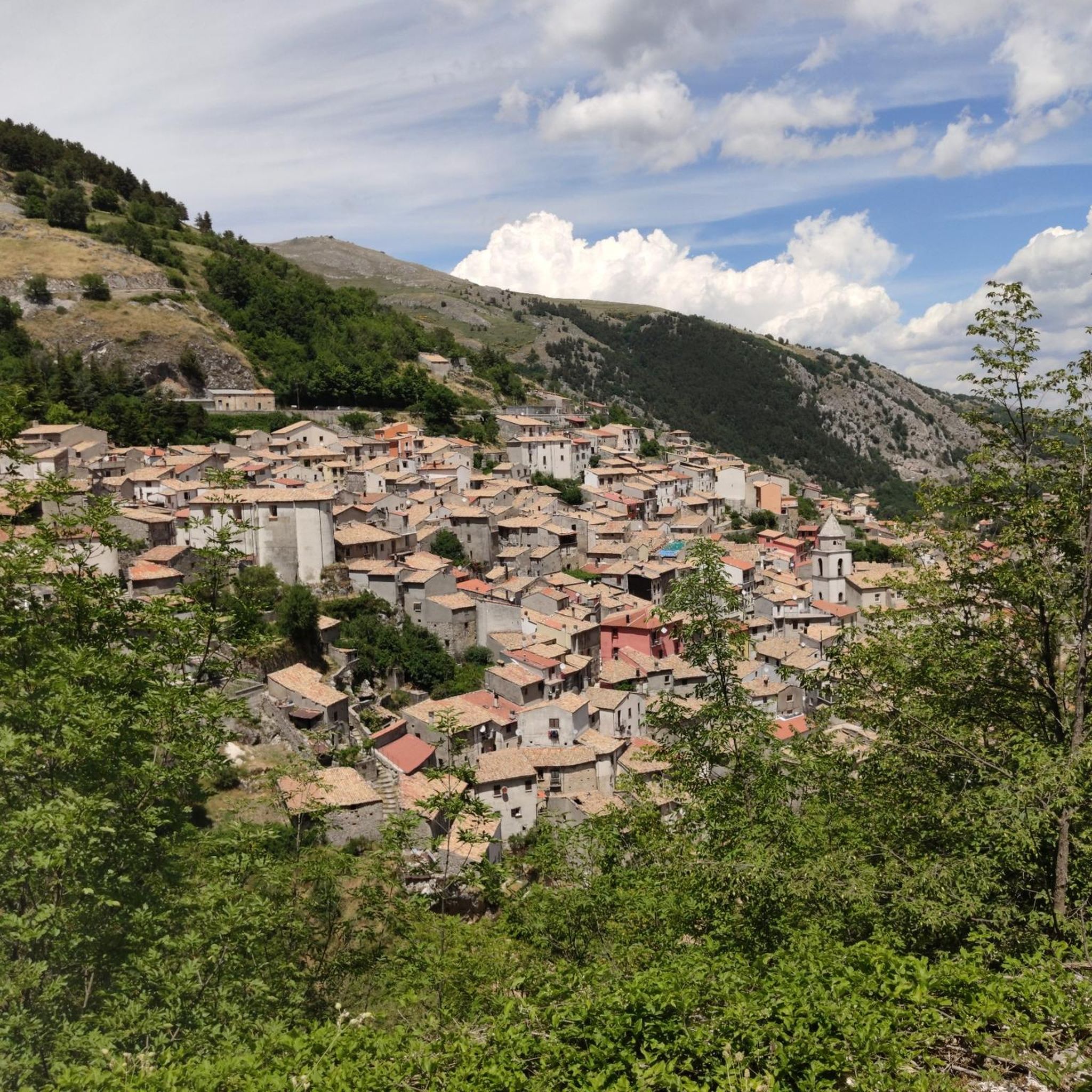
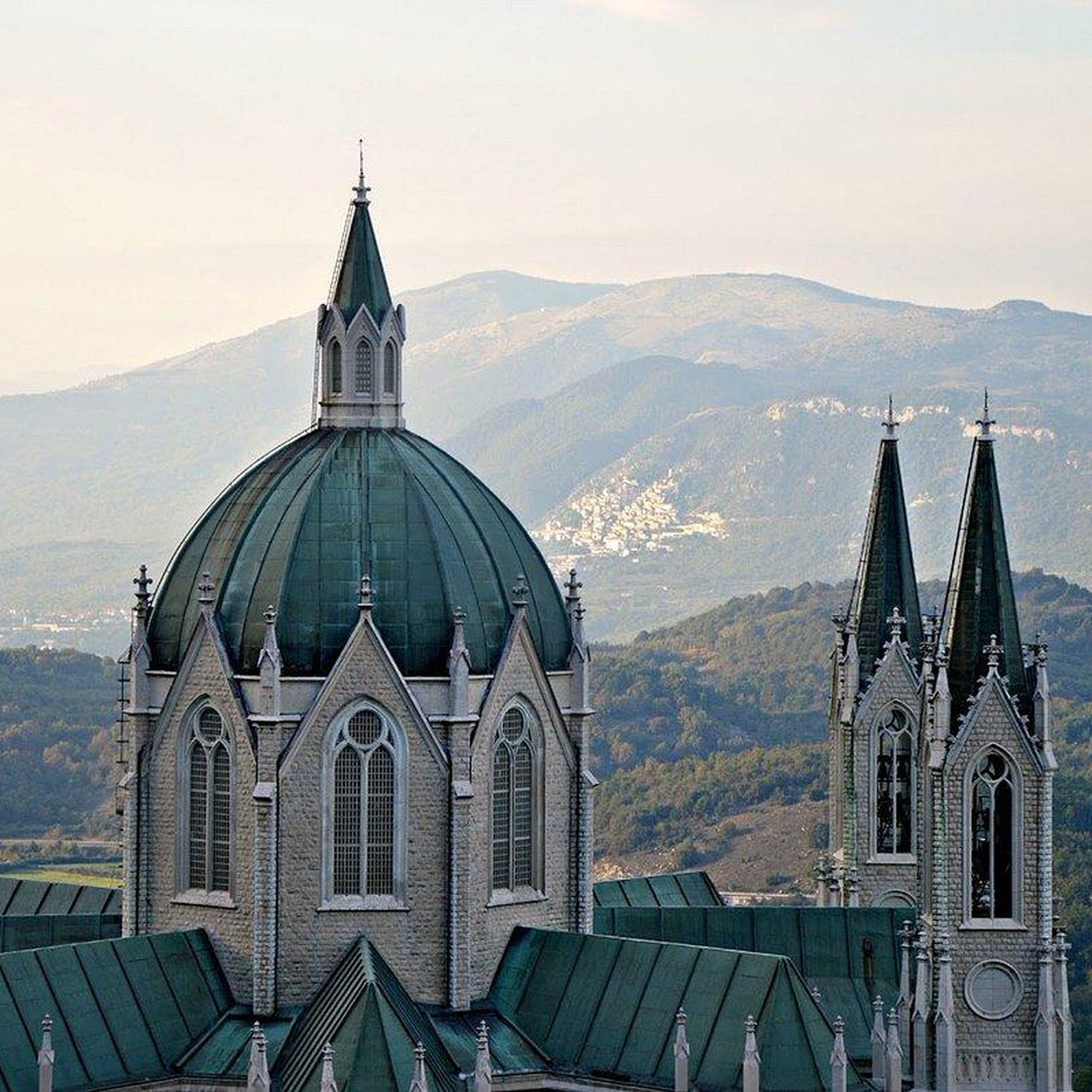
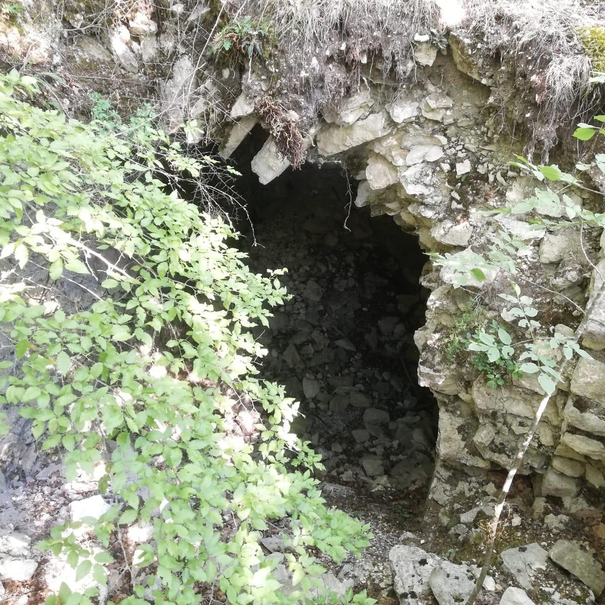
Tips from the Community

panoramic dirt road from Miranda towards Pesche
0
0

It was a flourishing Samnite city, capital of the Italic League and then Roman Municipality.
0
0

If you happen to be in these parts, pass by this wonderful place cared for by a kind gentleman who welcomes you.
1
0

It is located above the locality of Pesche and it is an eighteenth-century source of water at an altitude of 925m. We are in a protected nature reserve. Nearby stands the refuge of the same name
0
0

The Carpinone waterfalls are technically two parallel waterfalls about 20 meters high that originate from the Carpino river and the Tura stream. The first is easier to access, to reach the second you continue on the path which becomes awkward further on.
1
0
The Schioppo waterfall is one of the three waterfalls of Carpinone. It is very close to the town center and is fed by the Carpino river. To reach it, just follow the signs from Piazza del Mercato and cross the path in the wood.
1
0

The Carpinone waterfalls and the town center are very beautiful.
8
0
Monte Patalecchia is a mountain in Molise in the Castelpetroso area. At 1400 meters it is a destination for hikers and nature lovers, who from here can admire the panorama of the Matese, the Mainarde and the Maiella. Nearby there are various repeaters and antennas that make the mountain recognizable even in the distance.
1
0
Frequently Asked Questions
How many hiking trails are available around Pettoranello Del Molise?
There are over 30 hiking trails around Pettoranello Del Molise, offering diverse experiences from easy strolls to challenging mountain treks. The komoot community has explored these routes over 200 times, with an average rating of 4.5 stars.
Are there any easy hiking trails suitable for families or beginners?
Yes, Pettoranello Del Molise offers 10 easy hiking routes. A great option for families is The Carpinone waterfalls and the historic village – loop tour, an easy 4.2 km trail that takes just over an hour to complete, exploring waterfalls and an ancient fortified village.
Can I find hiking routes with waterfalls in the area?
Absolutely. The region is known for its captivating water features. The Carpinone waterfalls and the historic village – loop tour specifically highlights two waterfalls. Additionally, the Cipresseta di Fontegreca within the Matese Regional Park features crystal clear waterfalls and pools formed by the Sava River.
What kind of natural landscapes can I expect to see while hiking?
Hikers in Pettoranello Del Molise will encounter a variety of natural landscapes, including mountainous terrain, dense forests of Turkey oak and beech, and clearings with grassy formations. The area is immersed in the Matese Mountains and encompasses the Monte Patalecchia, Torrenti Lorda e Longaniello Regional Nature Reserve, offering pristine natural beauty.
Are there any circular hiking routes available?
Yes, many routes in the area are designed as loops. For example, the Riserva Naturale Regionale Monte Patalecchia, Torrenti Lorda e Longaniello - loop from Santuario dell'Addolorata is a moderate 15.7 km loop through a nature reserve, offering varied mountain and forest scenery.
What are some notable landmarks or attractions to see along the trails?
Beyond the natural beauty, you can explore several landmarks. The ancient fortified village of Carpinone is featured on the Carpinone waterfalls and the historic village – loop tour. You might also encounter the Fonte Maiuri Hut or the Santa Lucia Cross and Viewpoint (Miranda). The Shrine of Our Lady of Sorrows in Castelpetroso is also a significant point of interest near some routes.
Are there any nature reserves I can hike through?
Yes, the region is rich in protected areas. You can hike through the Monte Patalecchia, Torrenti Lorda e Longaniello Regional Nature Reserve, as highlighted by the loop from Santuario dell'Addolorata. Another option is the Riserva Naturale Orientata di Pesche e Monte Cimorre – loop from Isernia, which also leads through a nature reserve.
What do other hikers enjoy most about hiking in Pettoranello Del Molise?
The area is highly rated by the komoot community, with an average score of 4.5 stars from over 70 reviews. Hikers often praise the diverse landscapes, from the Matese Mountains to the pristine forests and captivating waterfalls. The variety of routes, from easy village strolls to challenging mountain paths, is also frequently highlighted.
Are there any challenging hikes for experienced trekkers?
Yes, for experienced hikers, there are 5 difficult routes available. A challenging option is the Riserva Naturale Orientata di Pesche e Monte Cimorre – loop from Isernia, a 23.4 km trail that typically takes around 7 hours to complete.
Can I find routes that offer panoramic viewpoints?
The mountainous terrain around Pettoranello Del Molise provides numerous opportunities for stunning views. The Matese Mountains, including Monte Miletto, offer breathtaking vistas. Specific viewpoints like the Santa Lucia Cross and Viewpoint (Miranda) are also accessible along certain trails, providing expansive outlooks over the landscape.
Are there any historical routes or ancient paths to explore?
Yes, the region has a rich history reflected in its paths. You can traverse sections of the ancient Regio Tratturo Pescasseroli-Candela, a historical transhumance route. Ancient paths and sheep tracks also lead to surrounding peaks, offering a glimpse into the area's past while enjoying the natural scenery.
What kind of wildlife might I encounter in the nature reserves?
Within the Monte Patalecchia, Torrenti Lorda e Longaniello Regional Nature Reserve, hikers might observe a variety of flora and fauna. Common sightings include wild boar, fallow deer, roe deer, foxes, beech martens, and weasels. There is also evidence of the Apennine wolf in the area.
Most popular routes around Pettoranello Del Molise
Most popular attractions around Pettoranello Del Molise

Get inspired with the komoot mobile app


Explore more
Browse the best Hikes in other regions.
