The best running trails around Monteroduni
4.7
(9)
241
runners
28
runs
Jogging around Monteroduni offers a variety of routes through its diverse landscape. The region features rolling hills and valleys, providing varied terrain for runners. Paths often traverse rural areas, connecting small towns and offering views of the surrounding countryside. The elevation changes across routes range from gentle inclines to more significant climbs, catering to different fitness levels.
Best jogging routes around Monteroduni
- The most popular jogging route is Val di Conche Trail, a 1.9 miles (3.0 km) trail that…
Last updated: September 28, 2026
3.01km
00:33
240m
250m
Jog the moderate 1.9-mile Val di Conche Trail in Parco Regionale del Matese, featuring a cypress grove, waterfall, and panoramic views.
21
runners
13.0km
01:21
60m
60m
Moderate run. Good fitness required. Mostly paved surfaces. Suitable for all skill levels.

10
runners
7.13km
00:44
10m
10m
Moderate run. Good fitness required. Mostly paved surfaces. Suitable for all skill levels.
6
runners
8.00km
00:52
120m
120m
Moderate run. Good fitness required. Mostly paved surfaces. Suitable for all skill levels.
6
runners
13.3km
01:29
300m
300m
Moderate run. Good fitness required. Mostly paved surfaces. Suitable for all skill levels.
Get access to more routes and recommendations from other explorers.
Already have an account?
Our route recommendations are based on thousands of hikes, rides, and runs completed by other people on komoot.
Start today with a free account
Your next adventure awaits.
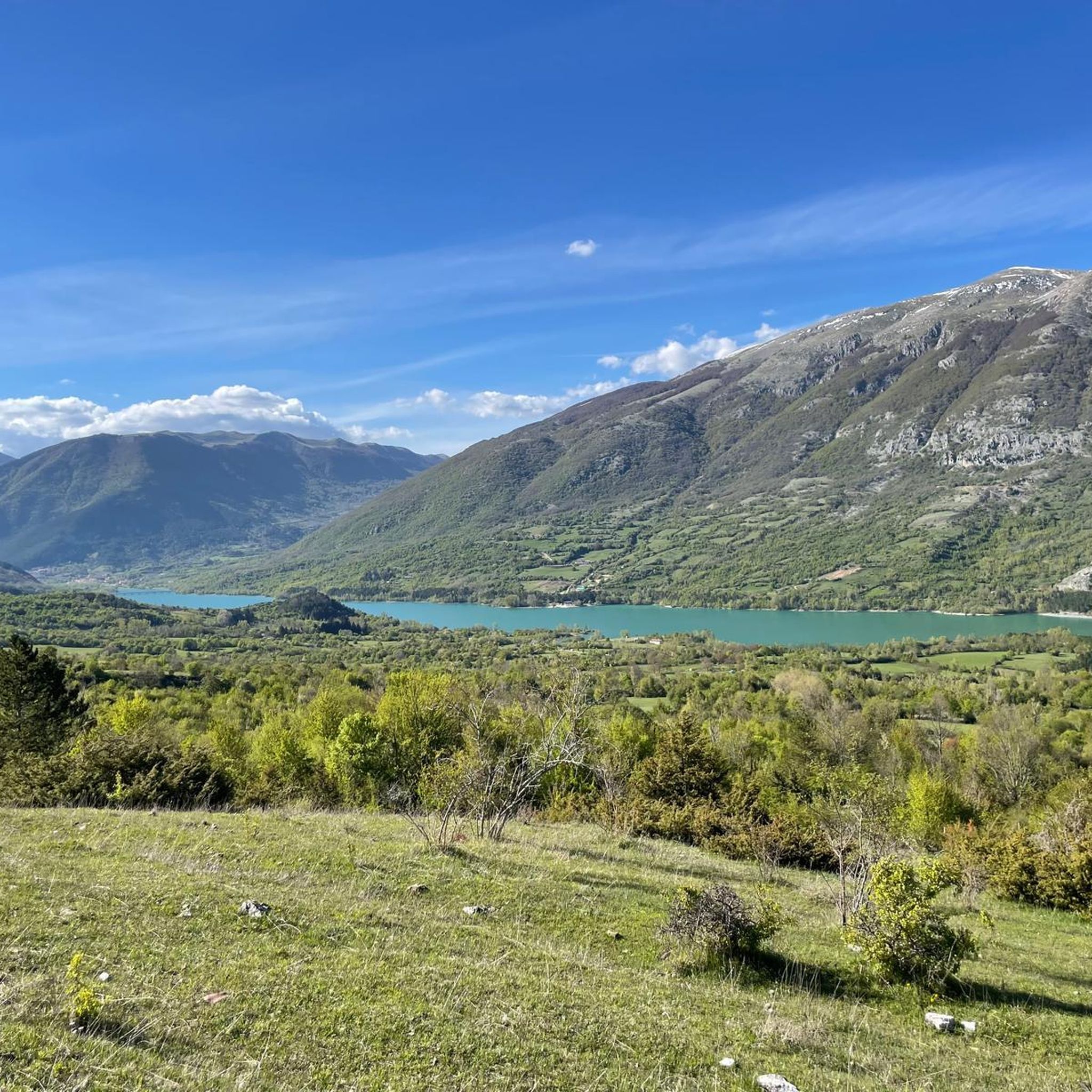
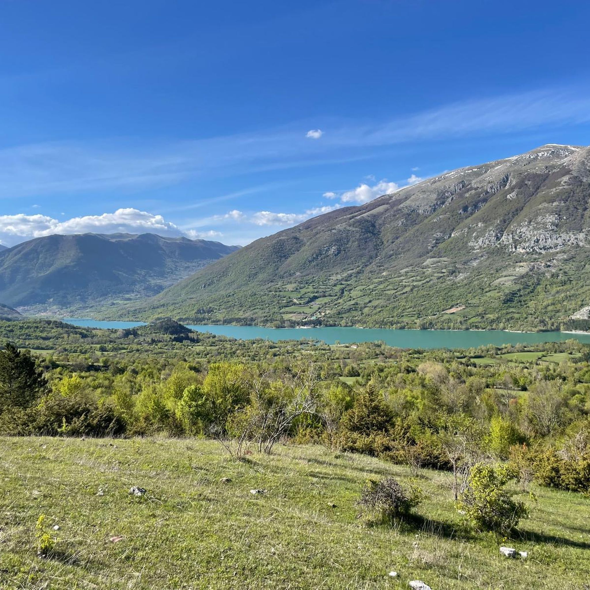
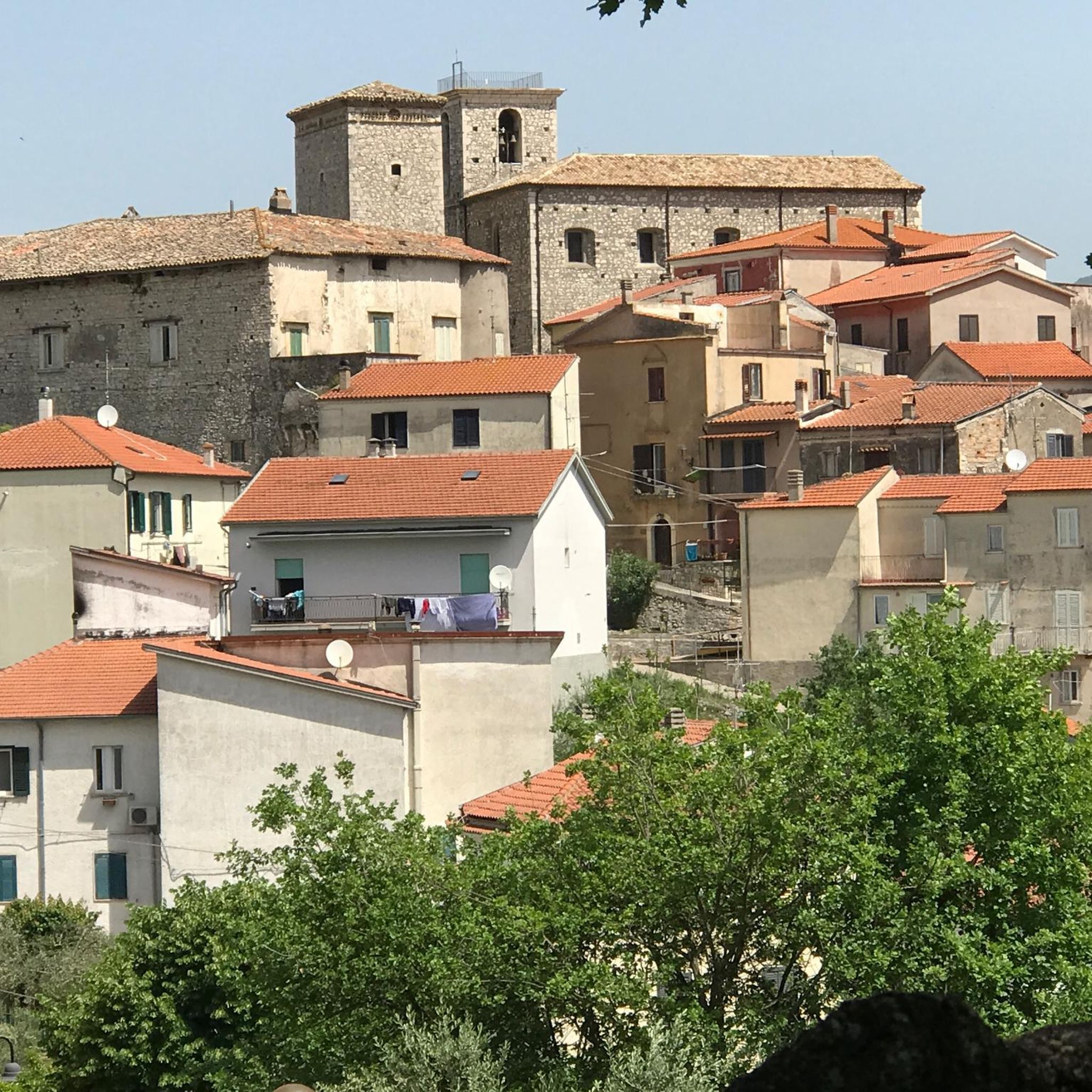
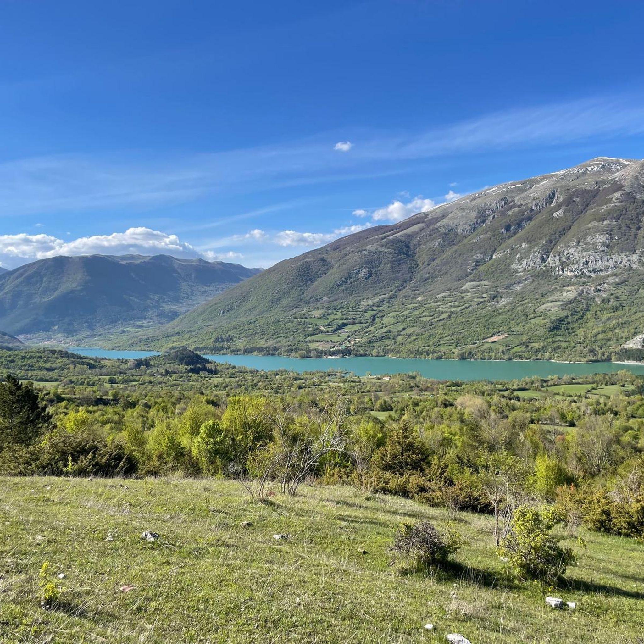
Tips from the Community

The Cipresseta di Fontegreca is one of the most well-equipped natural areas in the Matese: a forest of centuries-old cypress trees crisscrossed by streams, waterfalls, and shaded paths. There is a €3 entrance fee to the park, which allows for sustainable management of the area. Visitors have access to picnic tables, shaded areas for laying out a towel, public restrooms, and a seasonal shuttle service from the parking lot.
1
0

The cypress grove is accessible with the payment of 3 euros per person. It can be reached by shuttle, offered by a local association that takes care of it following the payment of 1 euro per person. It is an enchanting place to refresh and stop for a picnic. From there, several challenging and unmarked paths (mule tracks) wind towards the highest parts of the ridges where it stands, to be followed with caution.
0
0

It was a flourishing Samnite city, capital of the Italic League and then Roman Municipality.
0
0
The fountain is made of blocks of local stone from an unknown number of buildings in the city from various historical periods
0
0

The Bosco degli Zappini, better known as the "Cipresseta di Fontegreca", is one of the major symbols of the Matese Park. It is the subject of study because it is the only cypress forest of this size in Italy. Here there are also some fascinating waterfalls and natural pools.
1
0


The Fraternal fountain or fountain of the seven spouts is visible in a corner of Piazza Celestino V and represents one of the symbols of the city of Isernia. It is a monumental fountain in the shape of a loggia
0
0
∙ Choose the area The Fraternal fountain or fountain of the seven spouts is visible in a corner of Piazza Celestino V and represents one of the symbols of the city of Isernia. It is a monumental fountain in the shape of a loggia,
0
0
Frequently Asked Questions
How many running routes are available around Monteroduni?
There are over 25 dedicated running routes in the Monteroduni area. These include a mix of easy, moderate, and challenging trails, catering to various fitness levels.
Are there easy running paths for beginners in Monteroduni?
Yes, Monteroduni offers several easy running routes perfect for beginners. These paths typically feature gentler inclines and less demanding terrain. For example, the region has 2 routes specifically classified as easy, with many moderate options also suitable for those starting out.
What about more challenging trails for experienced runners in Monteroduni?
Experienced runners seeking a challenge will find several routes with significant elevation changes. For instance, the Val di Conche Trail features a notable elevation gain, providing a good workout. Overall, there are 5 routes classified as difficult in the area.
Can I find circular running routes in Monteroduni?
Yes, many of the running paths around Monteroduni are designed as loops, allowing you to start and finish in the same location. Examples include the Running loop from Venafro and the Running loop from Pozzilli, which are popular choices among local runners.
What kind of scenery can I expect on the running trails in Monteroduni?
The running routes in Monteroduni offer diverse scenery, characterized by rolling hills, valleys, and rural landscapes. You'll often traverse paths connecting small towns, with views of the surrounding countryside. Many routes provide a peaceful, natural setting away from urban bustle.
Are there any interesting landmarks or natural attractions along the running routes?
Yes, the region boasts several points of interest. While running, you might encounter natural features like the Lete Waterfalls or the tranquil Campo Figliuolo Pond. There are also cultural sites such as the Sanctuary of Saint Mary of Sorrows nearby.
What do other runners enjoy most about jogging in Monteroduni?
The running routes in Monteroduni are highly rated by the komoot community, with an average score of 4.8 stars from 6 reviews. Runners often praise the varied terrain, the peaceful rural paths, and the options available for different ability levels, from gentle jogs to more challenging climbs.
How long are the typical running routes in Monteroduni?
The running routes in Monteroduni vary in length. For example, the Val di Conche Trail is about 1.9 miles (3.0 km), while the Running loop from Fontegreca extends to approximately 6.5 miles (10.4 km). You'll find options ranging from shorter, quicker runs to longer endurance challenges.
Are there any running routes suitable for families with children?
While specific 'family-friendly' classifications aren't always available, many of the easier and moderate routes with relatively flat profiles, such as the Running loop from Venafro, could be suitable for families looking for a less strenuous outing. It's always best to check the route details for distance and elevation before heading out.
Are there any routes that offer good viewpoints?
Given the region's rolling hills and valleys, many routes naturally offer scenic vistas of the surrounding countryside. While not explicitly marked as 'viewpoint trails', paths that traverse higher elevations or open rural areas will provide opportunities for panoramic views.
Is it possible to find uncrowded running trails in Monteroduni?
Yes, as many routes traverse rural areas and connect smaller towns, you can often find peaceful and uncrowded trails, especially outside of peak tourist seasons. The region's extensive network of paths allows for a sense of solitude and connection with nature.
Most popular attractions around Monteroduni

Get inspired with the komoot mobile app


Explore more
Browse the best Running Trails & Routes in other regions.
