The best running trails around San Massimo
5.0
(1)
27
runners
13
runs
Jogging routes around San Massimo are set within the Matese Mountains in the Italian region of Molise. The area features diverse landscapes, including rolling hills, lowland woods with chestnut and conifer groves, and agricultural land. Notable natural features include Monte Miletto and La Gallinola Summit, offering varied terrain for running. The region provides a mix of mountainous paths and open rural landscapes.
Best jogging routes around San Massimo
- The most popular jogging route is Monte Miletto e Rifugio del Caprio…
Last updated: August 4, 2026
4
runners
Hard run. Very good fitness required. Sure-footedness, sturdy shoes and alpine experience required.
2
runners
8.57km
01:27
90m
90m
Hard run. Good fitness required. Sure-footedness, sturdy shoes and alpine experience required.

Sign up for free
2
runners
14.6km
02:03
650m
650m
Hard run. Very good fitness required. Mostly paved surfaces. Suitable for all skill levels.
4.16km
00:31
100m
100m
Easy run. Great for any fitness level. Mostly paved surfaces. Suitable for all skill levels.
8.62km
01:41
420m
420m
Hard run. Very good fitness required. Sure-footedness, sturdy shoes and alpine experience required.
Get access to more routes and recommendations from other explorers.
Sign up for free
Already have an account?
Our route recommendations are based on thousands of hikes, rides, and runs completed by other people on komoot.
Start today with a free account
Your next adventure awaits.
Login or Signup
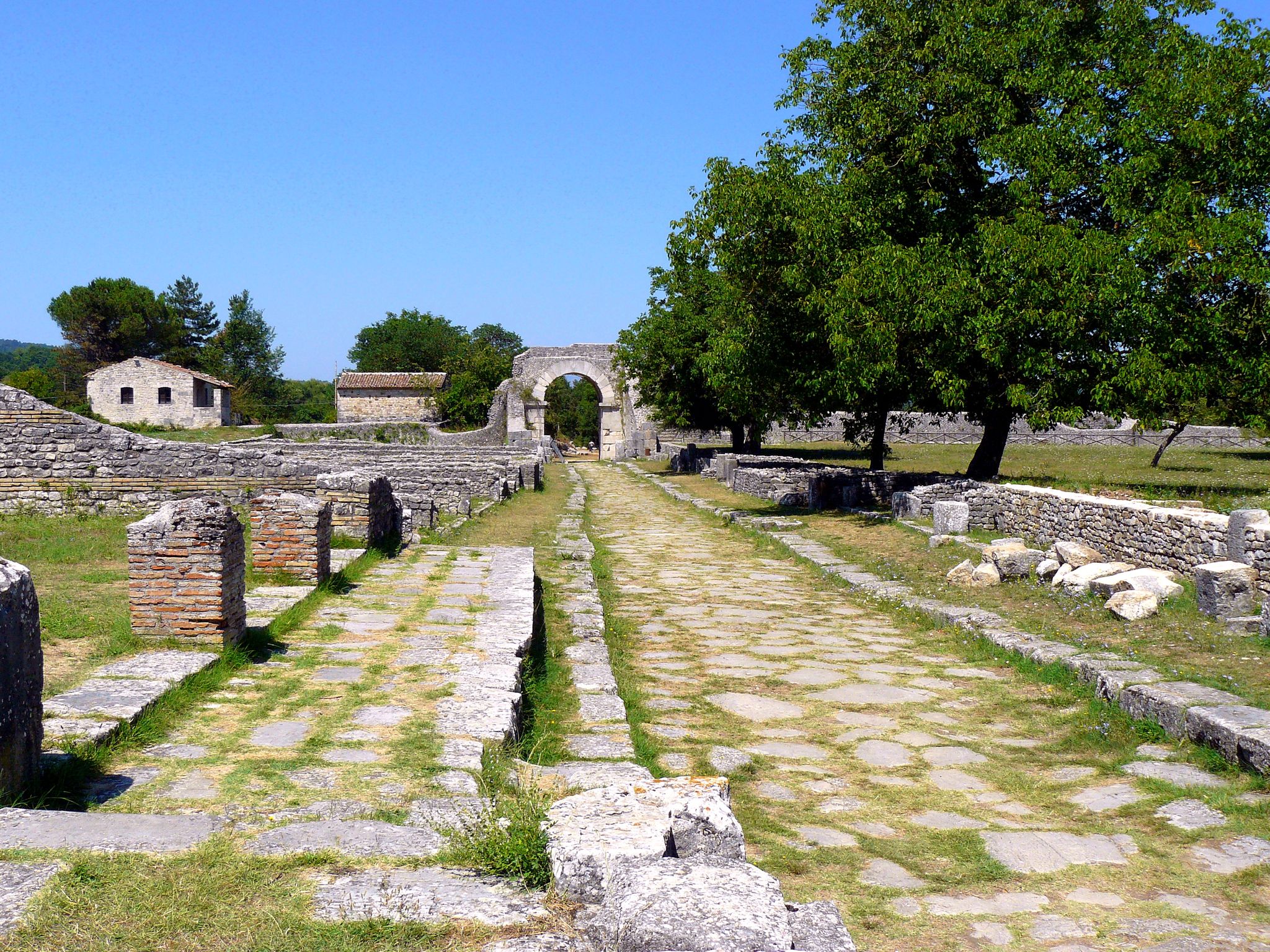
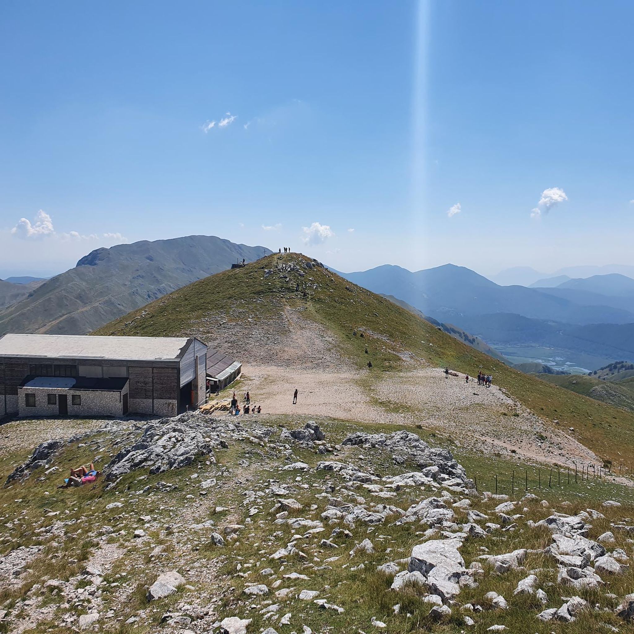
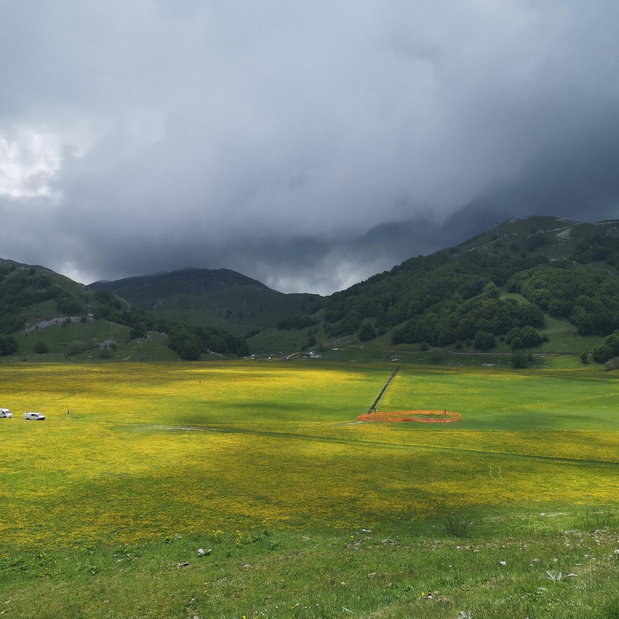
Other adventures around San Massimo

Tips from the Community

A short hike with no particular difficulties. The trailhead from Campitello Matese is unmarked and difficult to identify. The trail itself is poorly marked. For those like me who'd never done it, it's essential to follow the trail on an app or similar. The descent was made by descending from the chairlift side (which doesn't operate and doesn't appear to be in operation anymore), then descending along the ski slope, which halfway through features a barbed wire barrier (!) that I had to cross.
0
0

The Sant'Egidio refuge is an alpine structure located in Molise, at around 1,100 meters above sea level, surrounded by beech forests on the north-eastern side of the Matese, above the town of Bojano. Nearby is the hermitage of the same name and the Fosso Colle Mancini. The hermitage of Sant'Egidio is an ancient monastery consisting of a single nave church with a statue of the saint. It was founded by the Cistercians or Templars in the 9th century and restored in the 20th century. The paths to reach this place are very easy to follow by running, and this location is an excellent stopping point for exploring the Matese.
1
0

From the chalet at the top of the chairlift, you can enjoy a breathtaking view as far as the Campanian Islands!
0
0
Mount Miletto (2,050 meters above sea level) straddles Campania and Molise and offers a 360° view of the Apennines, Lake Matese and the Mediterranean Sea in the distance.
0
0

From the summit 2050 MT. you can sense the curvature of blue ozone 🌍
0
0

The hermitage of Sant'Egidio is an ancient monastery on the north-eastern side of the Matese above the town of Bojano. It consists of a church with a single nave with a statue of the saint and is flanked by a mountain refuge equipped with picnic tables and a spring for water.
2
0
The panoramic terrace of Civita Superiore is a belvedere on the edge of the village from where you can admire the plain of Bojano and the Matese massif. Civita Superiore is an ancient and fortified village that still retains part of the walls and the Rocca dei Pandone, the castle that overlooked the town.
1
0
Frequently Asked Questions
How many running routes are available in San Massimo?
San Massimo offers a good selection of running routes, with over 10 trails documented on komoot. These routes cater to various fitness levels, from easy paths to more challenging mountain runs.
What kind of terrain can I expect on jogging routes in San Massimo?
The terrain around San Massimo is incredibly diverse, set within the Matese Mountains. You can expect routes through rolling hills, serene lowland woods with chestnut and conifer groves, and open agricultural land. Some trails, especially those leading towards Monte Miletto Summit or La Gallinola Summit, feature significant elevation gains and mountainous paths, while others offer gentler, more open rural landscapes.
Are there routes suitable for beginners or those looking for an easy run?
Yes, there are routes suitable for beginners. For example, the Monte Orso Loop Trail is an easy 2.6-mile (4.2 km) path that takes about 31 minutes to complete, leading through wooded areas and open landscapes.
What are some of the more challenging running trails in the San Massimo area?
For experienced runners seeking a challenge, routes like the Monte Miletto e Rifugio del Caprio – loop in the Parco nazionale d'Abruzzo Lazio e Molise offer significant elevation gain over 5.6 miles (9.0 km). Another demanding option is the Sentiero Italia CAI Cycle Trail, a difficult 5.3-mile (8.6 km) path with varied terrain.
Are there any circular jogging routes in San Massimo?
Yes, several routes in the area are designed as loops or ring tours, allowing you to start and finish in the same location. Examples include the Monte Miletto e Rifugio del Caprio loop and the From Le Falode to Belvedere del Pianellone – ring tour.
When is the best time of year to go jogging in San Massimo?
The Matese Mountains region is generally suitable for outdoor activities from spring through autumn. Summer offers warm weather, while spring and autumn provide milder temperatures and beautiful scenery. Winter jogging is possible, especially in lowland areas, but higher mountain trails may be affected by snow and require appropriate gear.
What do other runners say about the trails in San Massimo?
The running routes in San Massimo are highly rated by the komoot community, with an average score of 5.0 stars from reviews. Runners often praise the varied terrain, stunning natural beauty, and the dynamic experience offered by the mix of mountainous paths and open rural landscapes.
Can I combine my run with sightseeing or visiting historical sites?
Absolutely! The region around San Massimo is rich in history and culture. You can find routes that pass near or lead to attractions such as the ancient Roccamandolfi Castle or the tranquil Hermitage of Sant'Egidio. The Civita Superiore and the Hermitage of Sant'Egidio loop run is a great example of a route combining exercise with cultural exploration.
Are there any scenic viewpoints along the running paths in San Massimo?
Yes, many running paths in San Massimo offer breathtaking scenic viewpoints. Trails leading to Monte Miletto Summit or La Gallinola Summit provide panoramic views, where on clear days you might even glimpse the Adriatic and Tyrrhenian Seas. The Belvedere del Pianellone also offers stunning views over Lake Matese.
Are there any lakes or water features near the jogging routes?
Yes, the area is home to Lake Matese, which is a significant natural feature. Some routes offer views of the lake, such as the Belvedere del Pianellone: View over Lake Matese. You might also encounter smaller ponds like Campo Figliuolo Pond along certain trails.
Are the running trails in San Massimo family-friendly?
While some routes involve significant elevation, there are easier paths like the Monte Orso Loop Trail that could be suitable for families looking for a less strenuous outing. Always check the difficulty and distance of a specific route to ensure it matches your family's fitness level.
Are there dog-friendly running trails in San Massimo?
Many outdoor trails in the Matese Mountains are generally dog-friendly, but it's always advisable to keep your dog on a leash, especially in areas with wildlife or livestock. Be mindful of other trail users and ensure your dog is well-behaved. Specific regulations might apply in certain protected areas, so check local signage.
Are there jogging routes with parking available?
While specific parking details for every trailhead are not always listed, many popular trailheads and starting points for routes in San Massimo, especially those near villages or attractions, typically have designated parking areas. It's recommended to check the route details on komoot or local maps for specific parking information before you go.
Most popular attractions around San Massimo

Get inspired with the komoot mobile app


Explore more
Browse the best Running Trails & Routes in other regions.
