The best walks and hikes around Puchenau
4.5
(3299)
28,405
hikers
25
hikes
Hiking around Puchenau, a municipality in Upper Austria, offers diverse trails characterized by its proximity to the Danube River and varied hilly and forested terrain. The region features elevated landscapes and green areas, providing opportunities for both riverside walks and climbs through woodlands. This topography supports a range of hiking experiences, from accessible paths to more challenging routes.
Best hiking trails around Puchenau
- The most popular hiking route is Prinzensteig – Donaublick Viewpoint loop from Puchenau, a 14.0 miles…
Last updated: November 5, 2026
4.5
(30)
109
hikers
22.4km
06:19
330m
330m
Hard hike. Very good fitness required. Mostly walkable paths. Sure-footedness required.
4.7
(3)
52
hikers
Moderate hike. Good fitness required. Easily walkable paths.

4.7
(3)
38
hikers
25.1km
07:19
640m
640m
Hard hike. Very good fitness required. Easily walkable paths.
4.3
(4)
27
hikers
6.31km
01:59
260m
260m
Easy hike. Easily walkable paths.
5.0
(2)
45
hikers
Moderate hike. Good fitness required. Easily walkable paths.
Get access to more routes and recommendations from other explorers.
Already have an account?
Our route recommendations are based on thousands of hikes, rides, and runs completed by other people on komoot.
Start today with a free account
Your next adventure awaits.
Tips from the Community

Instantly fell in love with the trail, its varied route, and the great viewpoints. I was there in mid-October and the trail was consistently damp and covered in leaves, so even with good footwear and tread, you had to be careful not to slip.
0
0

The Mozarthaus is located right in the old town near the Landhaus and should definitely be visited during city tours; a very beautiful arcade is located in the inner courtyard, which is accessible via 2 entrances. There are many pubs, bars, cafés, and restaurants there. Locals visit the locations there. In the courtyard, …a beautiful baroque facade. Don't miss this historic house, which was the residence of several important personalities over time, and see its Renaissance courtyard.
3
0
Beautifully spruced up, with various eateries on both sides, also for sitting outside - so you can enjoy sun or shade at any time of day. Tourist information on the square, weekly market on Fridays and flea market on Saturdays. The Holy Trinity Column overshadows everything. Centrally located, just a few steps to the Danube and the Pöstlingbergbahn starts here.
2
0
Beautiful viewpoint over the city. The ride by train is recommended and you can see quite a bit on the way.
2
0

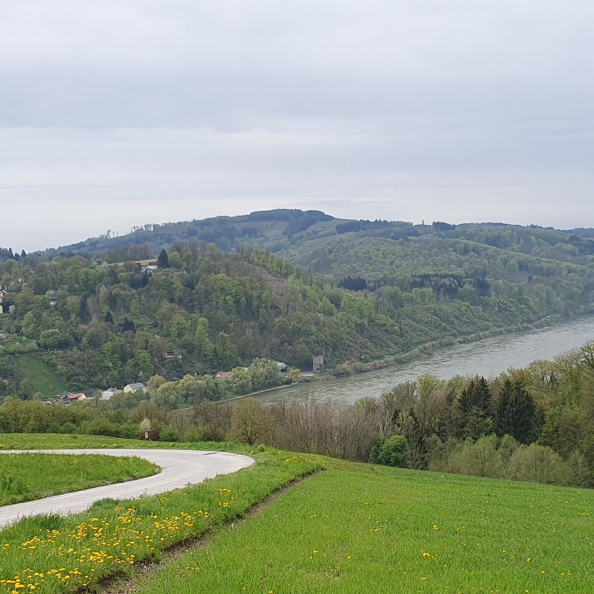
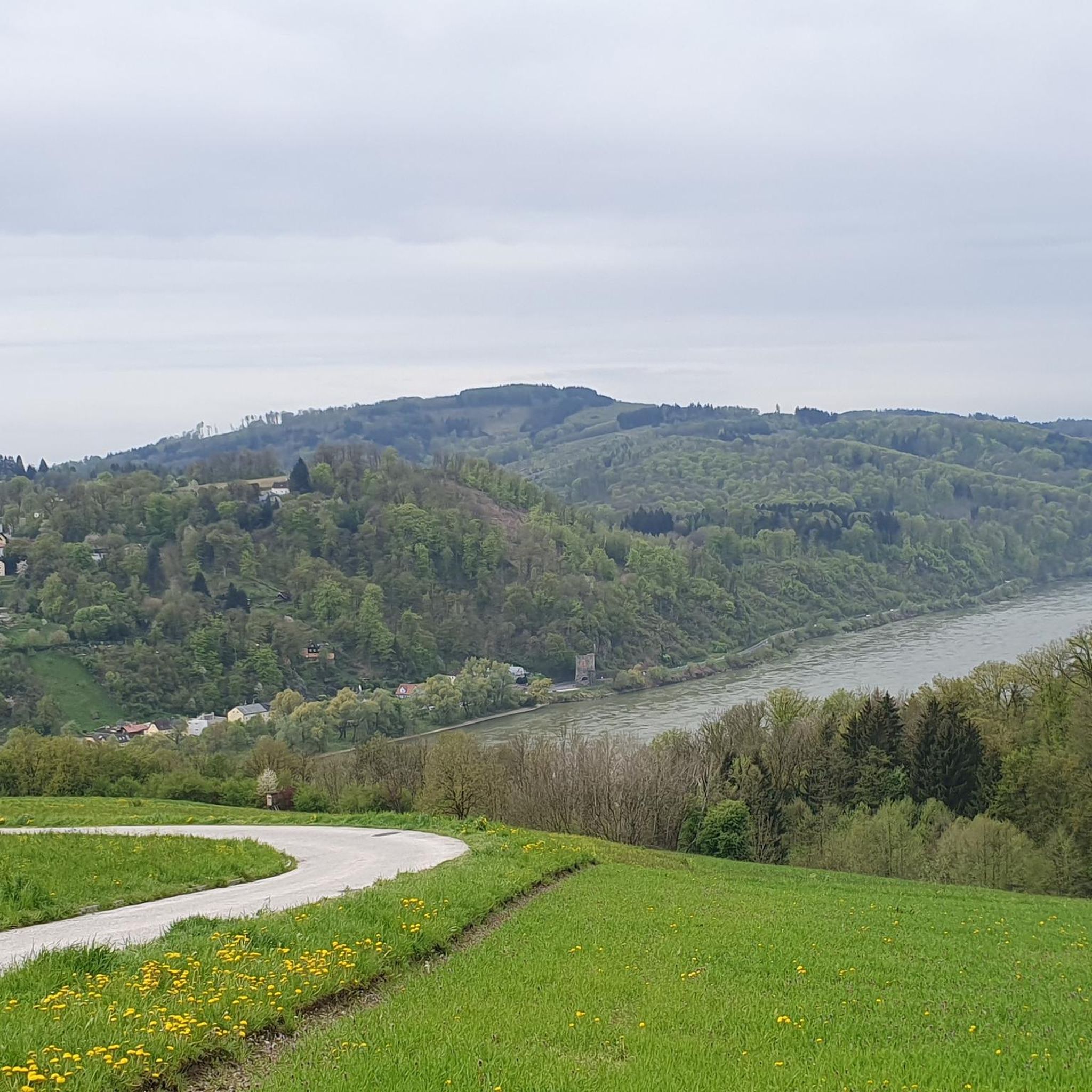
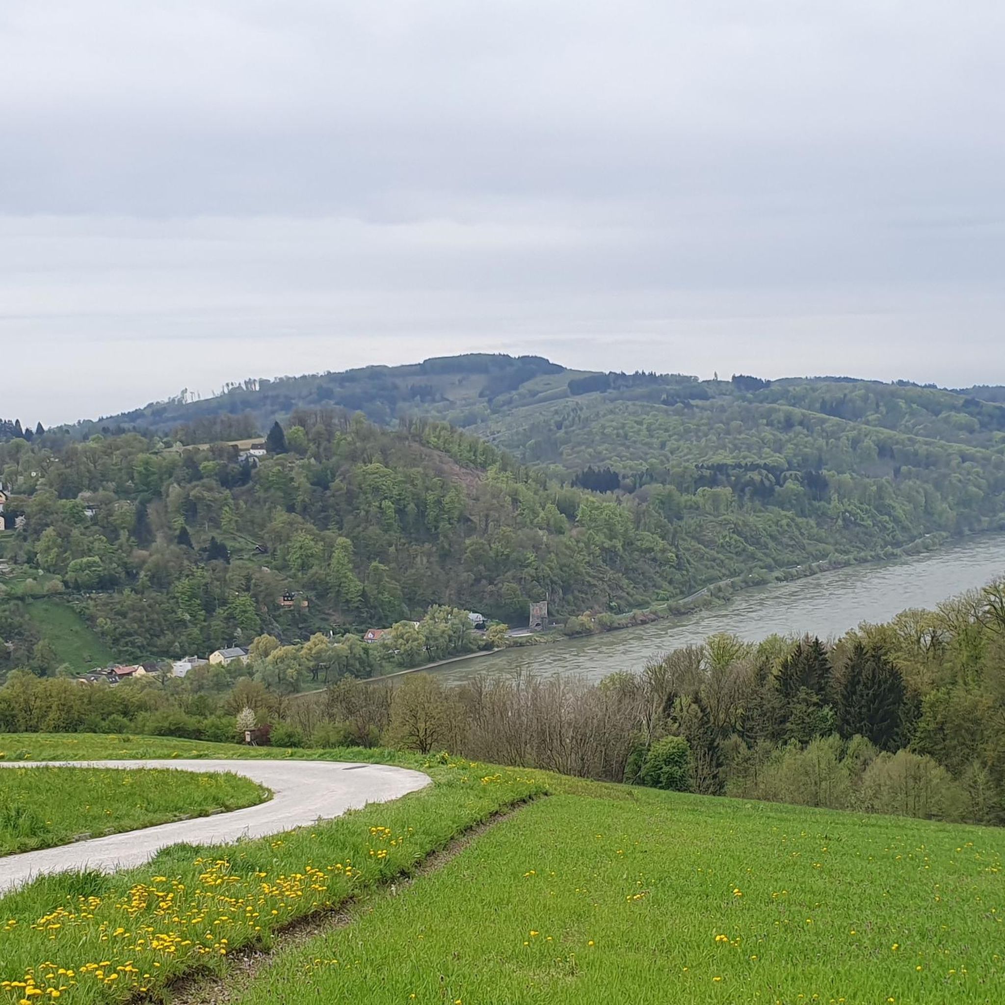
Hiking trail above the Danube
1
0

Flowing trail with a magnificent view of the Danube Valley - Top!
2
0

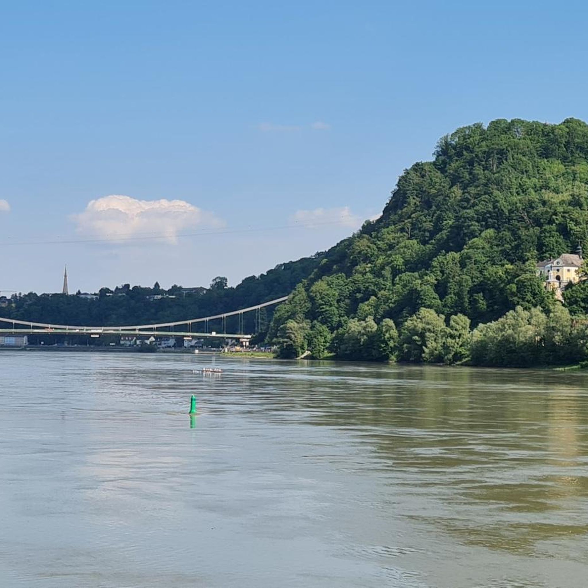
A beautiful view of Ottensheim.
3
0

A picturesque townscape with colorful, historic buildings along the waterfront.
9
0
Frequently Asked Questions
How many hiking trails are available in Puchenau?
Puchenau offers a diverse network of over 25 hiking trails, catering to various preferences and fitness levels. These include easy strolls, moderate paths, and more challenging routes through hilly and forested terrain.
Are there family-friendly hiking options in Puchenau?
Yes, Puchenau has several easy trails suitable for families. For instance, the Edelburgwarte Ruins – View from Freiseder loop from Puchenau is an easy 3.9-mile route through forested areas to historical ruins and viewpoints, often completed in about 2 hours.
What kind of terrain can I expect on Puchenau's hiking trails?
The terrain around Puchenau is varied, featuring hilly landscapes, dense forests, and paths along the Danube River. You can expect a mix of ascents and descents, offering panoramic views of the waterway and the surrounding green areas.
Are there any circular hiking routes in Puchenau?
Many of Puchenau's trails are designed as loops, allowing you to start and end at the same point. A notable example is the challenging Prinzensteig – Donaublick Viewpoint loop from Puchenau, which offers stunning panoramic views of the Danube.
What are some notable landmarks or viewpoints I can discover while hiking?
Hikers can explore several interesting points. The Koglerauer Spitz offers great views, and the Pfenningberg Summit Cross is another significant natural monument. The Edelburgwarte Ruins also provide historical interest and scenic vistas.
What is the best time of year to go hiking in Puchenau?
Puchenau is enjoyable for hiking throughout much of the year. Spring and autumn offer pleasant temperatures and vibrant scenery, while summer is ideal for longer days. Winter hiking is also possible, though conditions may vary, especially on higher or more exposed trails.
Are there any challenging hikes in the Puchenau area?
Yes, for experienced hikers seeking a challenge, Puchenau offers difficult routes. The Koglerauer Spitz – Pöstlingbergbahn Linz loop from Puchenau is a demanding 15.8-mile trail with significant elevation gain, providing a strenuous workout and rewarding views.
Can I reach hiking trailheads in Puchenau using public transport?
Puchenau is well-connected, and some trailheads are accessible via public transport. For example, routes connected to the Pöstlingberg, such as the Pöstlingbergbahn Linz – Pöstlingberg Way of the Cross loop from Puchenau West, can often be reached using local services.
What do other hikers enjoy most about hiking in Puchenau?
The komoot community highly rates Puchenau's trails, with an average score of 4.5 stars from over 780 reviews. Hikers often praise the diverse scenery, from Danube river views to peaceful forest paths, and the well-maintained network of trails suitable for various abilities.
Are there any easy hikes with minimal elevation gain?
Yes, Puchenau offers several easy hikes with gentle inclines. The Main Square (Hauptplatz), Linz – View of Pöstlingberg loop from Puchenau West is a moderate 8-mile route with relatively low elevation gain, making it a comfortable option for a relaxed walk.
Are there places to eat or drink near the hiking trails in Puchenau?
While specific cafes or pubs directly on every trail are not guaranteed, the Puchenau municipality and nearby Linz offer various dining options. Many trails lead towards or pass through areas where you can find places to refresh after your hike.
Most popular routes around Puchenau
Most popular attractions around Puchenau

Get inspired with the komoot mobile app


Explore more
Browse the best Hikes in other regions.
