The best walks and hikes around Prüll
4.6
(24008)
81,216
hikers
1,040
hikes
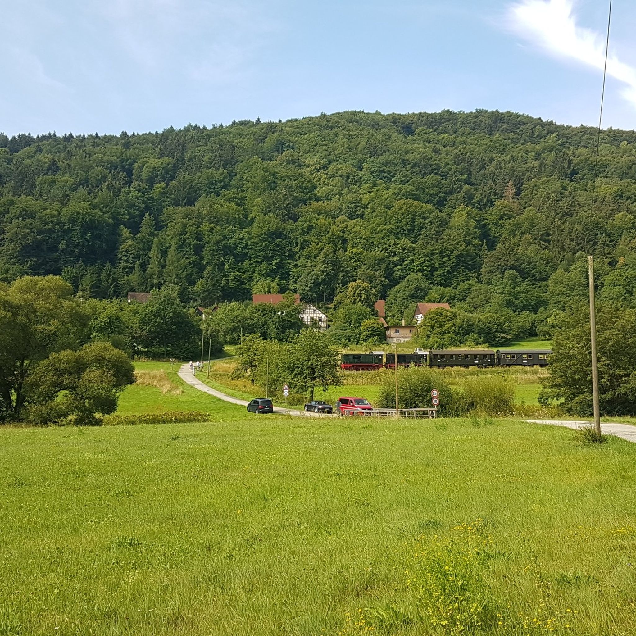
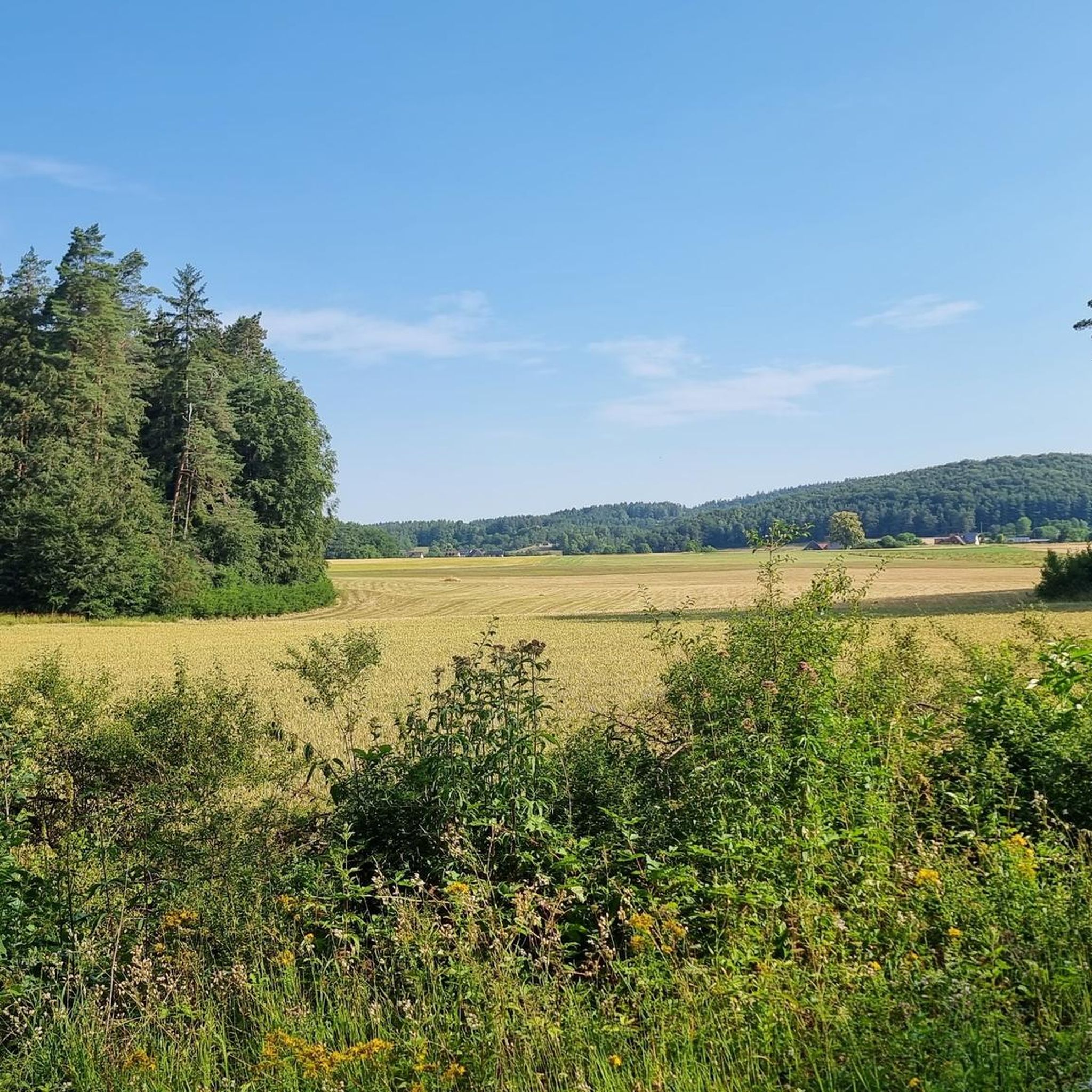
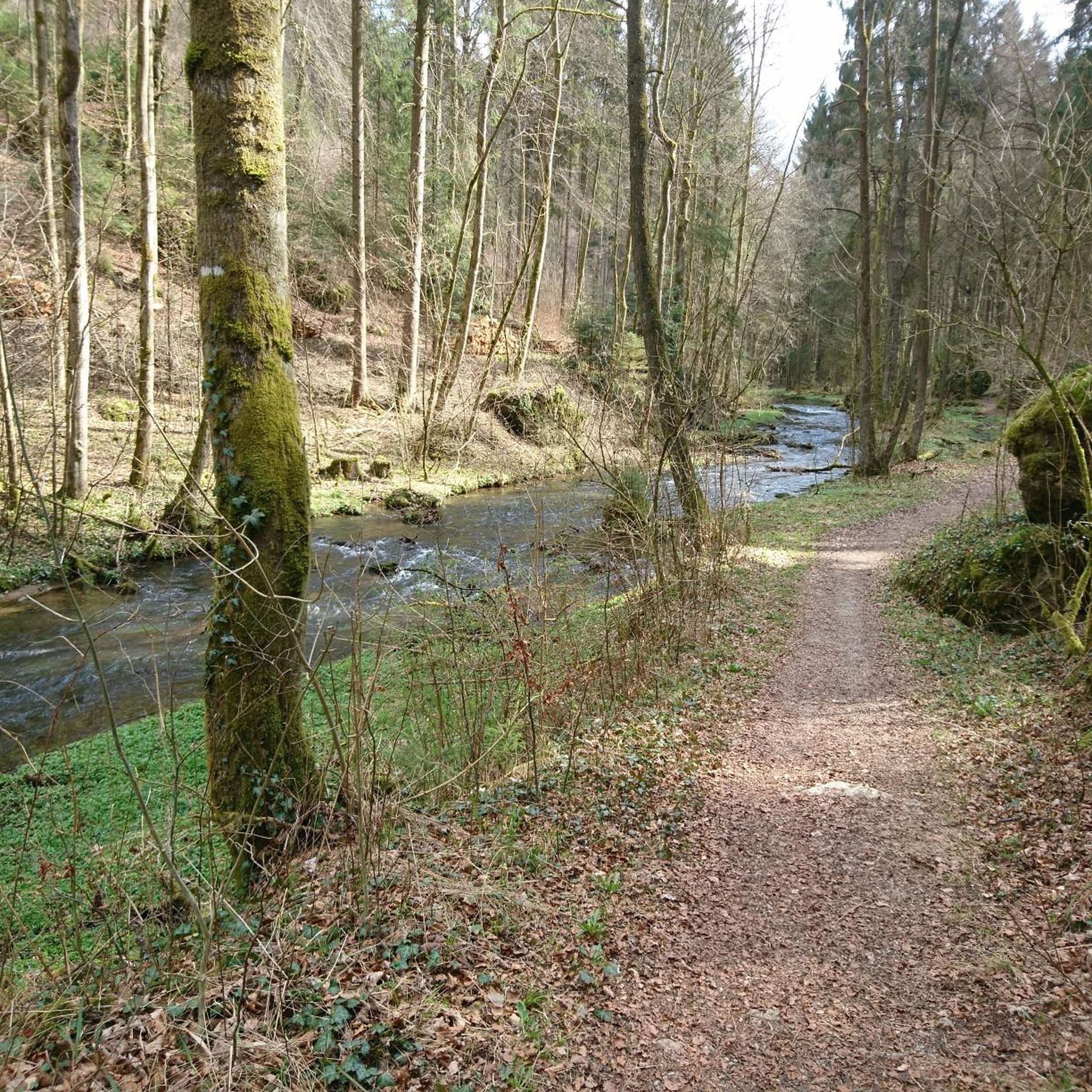
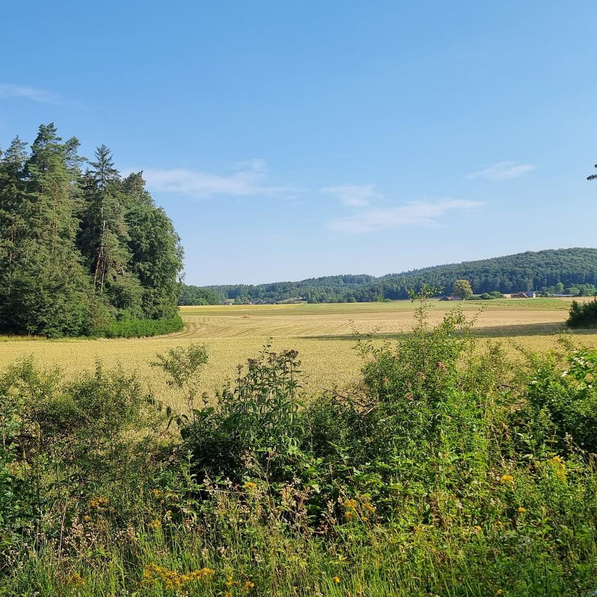
Hiking trails around Prüll are predominantly found within a forested area of Upper Franconia, Germany, integrated into the Franconian Switzerland Nature Park. The region features distinctive karst topography, resulting in unique rock formations, steep gorges, and mixed forests. Trails often follow clear rivers like the Püttlach, offering diverse landscapes for exploration.
Best hiking trails around Prüll
- The most popular hiking route is Valley and uplands hike, a 6.9 miles (11.1 km) trail that takes 3 hours 2 minutes to…
Last updated: November 17, 2026
4.5
(399)
1,418
hikers
11.1km
03:03
180m
180m
Moderate hike. Good fitness required. Easily walkable paths.
4.7
(823)
2,600
hikers
9.08km
02:31
160m
170m
Moderate hike. Good fitness required. Easily walkable paths.

4.8
(167)
489
hikers
10.8km
03:00
190m
190m
Moderate hike. Good fitness required. Easily walkable paths.
4.7
(416)
1,272
hikers
16.3km
04:41
380m
380m
Hard hike. Good fitness required. Sure-footedness, sturdy shoes and alpine experience required.
4.8
(136)
465
hikers
10.4km
02:49
150m
150m
Moderate hike. Good fitness required. Easily walkable paths.
Get access to more routes and recommendations from other explorers.
Already have an account?
Our route recommendations are based on thousands of hikes, rides, and runs completed by other people on komoot.
Start today with a free account
Your next adventure awaits.

Tips from the Community

The castle can be seen from afar, but the town center is just as worth seeing.
0
0

After the spectacular cave tour, you are once again royally rewarded with this view.
1
0

Pub density is taken very seriously here… idyllic market town and pilgrimage site
9
0

From November 9, 2025, the cave will be in winter mode, meaning it will only be open on Sundays. Guided tours will take place on Sundays at the following fixed times: 11:00 AM, 12:20 PM, 1:40 PM, and 3:00 PM. Between December 26 and January 6, the cave will be open daily at the same tour times.
10
0
Tüchersfeld is the typical Franconian "showcase town" with its striking rocks and the location of the half-timbered houses, which in some cases seem to be glued to the rocks.
9
0

The rocky path to the 🏰 is also absolutely impressive. A very beautiful castle and, in winter, also romantically illuminated.
9
1

A magnificent river landscape meanders through a deep valley. The Kneipp facility is a wonderful place to cool off, especially on hot summer days.
1
0

From the mountain rescue cross you have a wonderful view over Pottenstein and all around the rugged rock and mountain slopes and over to the Sängerhäusl.
1
0
Frequently Asked Questions
How many hiking trails are available around Prüll?
Prüll, nestled within the Franconian Switzerland Nature Park, offers a vast network of over 1,000 hiking routes. These trails cater to all levels, from easy strolls to more challenging excursions, allowing you to explore the region's unique karst topography and dense forests.
Are there easy hiking trails suitable for beginners or families in Prüll?
Yes, Prüll has over 400 easy hiking routes perfect for beginners or families. These trails often feature gentle terrain through mixed forests and along serene river valleys. While specific easy routes are numerous, you can find many options that are less demanding and offer a pleasant outdoor experience.
What kind of natural landmarks can I expect to see while hiking in Prüll?
The region's distinctive karst topography means you'll encounter dramatic rock formations, steep gorges, and numerous caves. Notable natural highlights include the impressive Riesenburg Collapse Cave and the striking Rock formations on the Jägersteig. The Püttlach Valley itself is renowned for its 'wildly romantic' scenery.
Are there any historical or cultural attractions to visit near the hiking trails?
Absolutely. The area around Prüll is rich in history and culture. You can visit the thousand-year-old Pottenstein Castle, which offers impressive views. The famous Devil's Cave (Teufelshöhle) is also nearby, providing an opportunity to explore illuminated stalactite formations. Additionally, the charming town of Pottenstein with its half-timbered houses is a delightful place to explore.
Can I find circular hiking routes in Prüll?
Many of the hiking trails in Prüll are designed as circular routes, allowing you to start and end your journey in the same location. For a challenging circular hike with diverse views, consider the View of Pottenstein Castle – Gößweinstein Town Center loop from Pottenstein, which covers about 16 km.
What is the best time of year to go hiking in Prüll?
Prüll offers beautiful hiking experiences throughout the year. Spring brings lush greenery and blooming wildflowers, while autumn transforms the mixed forests into a vibrant display of colors. Summer is ideal for enjoying the cooler forest trails and natural swimming spots like the Felsenbad. Even winter hiking can be magical, with snow-covered landscapes, though some trails might require appropriate gear.
Are there any viewpoints or panoramic spots along the hiking paths?
Yes, the karst topography and elevated areas provide several excellent viewpoints. The Pottenstein Adventure Rock features a Skywalk that offers breathtaking panoramic views of Franconian Switzerland from a height of 65 meters. Many trails also offer glimpses of Pottenstein Castle perched on its rock.
Are there places to eat or drink along the hiking routes in Prüll?
Yes, you'll find various options for refreshments. The region has several huts and pubs, such as the Singers' Hut or the Kürzdörfer Brewery, Lindenhardt, where you can take a break. The charming town of Pottenstein also offers numerous cafes and restaurants.
What do other hikers enjoy most about hiking in Prüll?
The area is highly rated by the komoot community, with an average score of 4.6 stars from over 19,000 reviews. Reviewers often praise the diverse landscapes, from dramatic rock formations and deep gorges to serene river valleys and dense mixed forests. The well-maintained trails and the blend of natural beauty with historical attractions are frequently highlighted.
Are there any challenging hikes for experienced hikers in Prüll?
For experienced hikers seeking a challenge, Prüll offers over 120 difficult routes. These trails often feature significant elevation changes and more rugged terrain, providing a demanding yet rewarding experience. An example of a challenging route is the View of Pottenstein – Püttlach Valley Trail loop from Pottenstein, which includes substantial ascents and descents.
Is Prüll a dog-friendly hiking destination?
Yes, Prüll is generally a dog-friendly area for hiking. Many trails wind through forests and along rivers, providing a great environment for dogs. However, it's always advisable to keep dogs on a leash, especially in nature reserve areas or near wildlife, and to be mindful of other hikers and local regulations.
Most popular attractions around Prüll

Get inspired with the komoot mobile app


Explore more
Browse the best Hikes in other regions.
