The best cycling routes around Schwäbisch Gmünd
4.5
(5372)
27,155
riders
501
rides
Touring cycling routes around Schwäbisch Gmünd traverse a diverse landscape at the foot of the Swabian Alb, characterized by rolling hills and the prominent "Dreikaiserberge." The region offers varied terrain, from well-developed paths along river valleys like the Rems Valley to routes with significant elevation changes. Cyclists can explore idyllic valleys, wide plateaus, and the scenic foothills of the Swabian Alps. This area provides a mix of natural and historical attractions, making it suitable for different cycling preferences.
Best touring cycling routes around Schwäbisch Gmünd
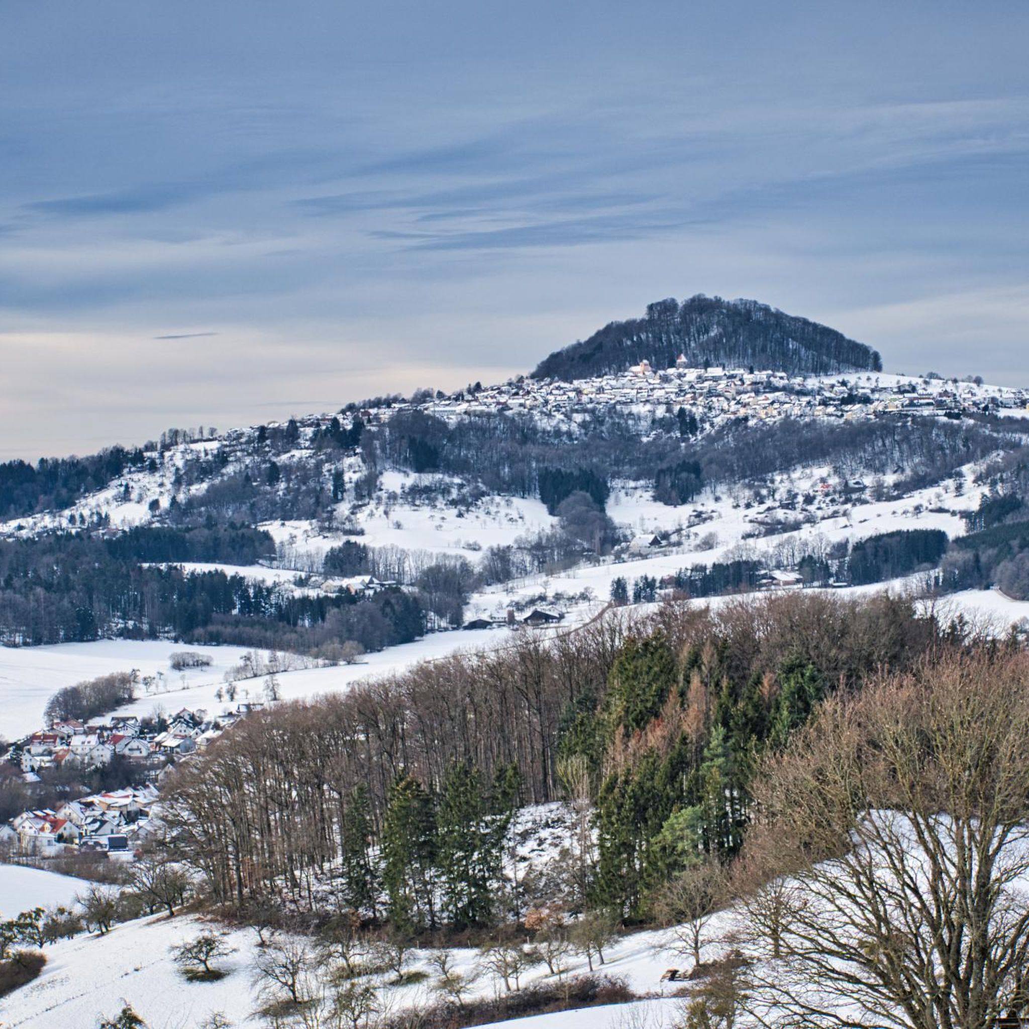
- The most popular touring cycling route is View of Hohenstaufen – View of Hohenstaufen loop from Reichenbach unter Rechberg, a 13.4 miles (21.6 km) trail that takes 1 hour 29 minutes to complete. This route offers views of Hohenstaufen, one of the region's distinctive hills.
- Another top favourite among local touring cyclists is View from the Foot of Hörnle – View of Hohenstaufen loop from Ottenbach, a moderate 13.5 miles (21.8 km) path. This route provides scenic views of the Hohenstaufen area from the foot of Hörnle.
- Local touring cyclists also love the View of Hohenstaufen – Birkhof Stud loop from Ottenbach, a 10.7 miles (17.3 km) trail leading through varied terrain with views of Hohenstaufen, often completed in about 1 hour 13 minutes.
- Touring cycling around Schwäbisch Gmünd is defined by the "Dreikaiserberge," the Swabian Alb foothills, and river valleys like the Remstal. The network offers options for different ability levels, from easy rides to more challenging excursions.
- The routes in Schwäbisch Gmünd are highly rated by the komoot community with an average score of 4.5 stars from over 4800 reviews. More than 25000 touring cyclists have used komoot to explore Schwäbisch Gmünd's varied terrain.
Last updated: May 24, 2026
4.4
(12)
84
riders
22.0km
01:31
360m
360m
Moderate bike ride. Good fitness required. Mostly paved surfaces. Suitable for all skill levels.
4.2
(10)
75
riders
21.8km
01:35
390m
390m
Moderate bike ride. Good fitness required. Mostly paved surfaces. Suitable for all skill levels.

Sign up for free
4.3
(12)
57
riders
17.3km
01:14
280m
280m
Moderate bike ride. Good fitness required. Mostly paved surfaces. Suitable for all skill levels.
3.8
(4)
40
riders
Easy bike ride. Great for any fitness level. Mostly paved surfaces. Suitable for all skill levels.
4.5
(13)
76
riders
38.1km
02:43
630m
630m
Hard bike ride. Very good fitness required. Mostly paved surfaces. Suitable for all skill levels.
Get access to more routes and recommendations from other explorers.
Sign up for free
Already have an account?
Our route recommendations are based on thousands of hikes, rides, and runs completed by other people on komoot.
Start today with a free account
Your next adventure awaits.
Login or Signup


Tips from the Community

Great path towards Kitzen
0
0

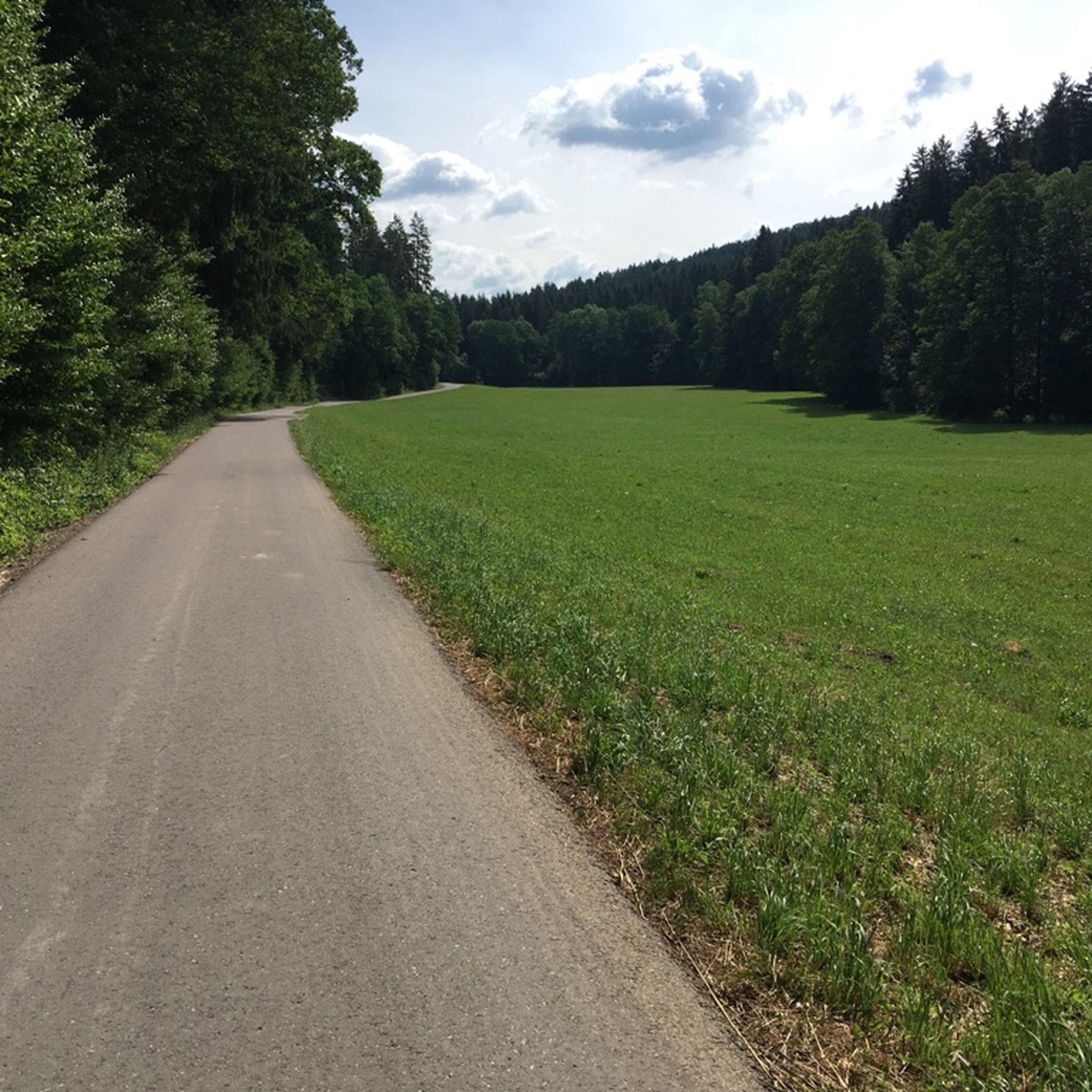
goes up quite a bit but nice
0
0

It's a beautiful little town.
1
1

The "Forum Gold and Silver" is located at the confluence of the Rems and Josefsbach rivers. It's one of the few modern buildings in the city center. Its attractive exterior facade changes color depending on the position of the sun. A restaurant is located on the ground floor.
6
0

From the 384 meters of the Hohenstaufen you have a magnificent view – including to the east of the Rechberg with its beautiful pilgrimage church.
2
0
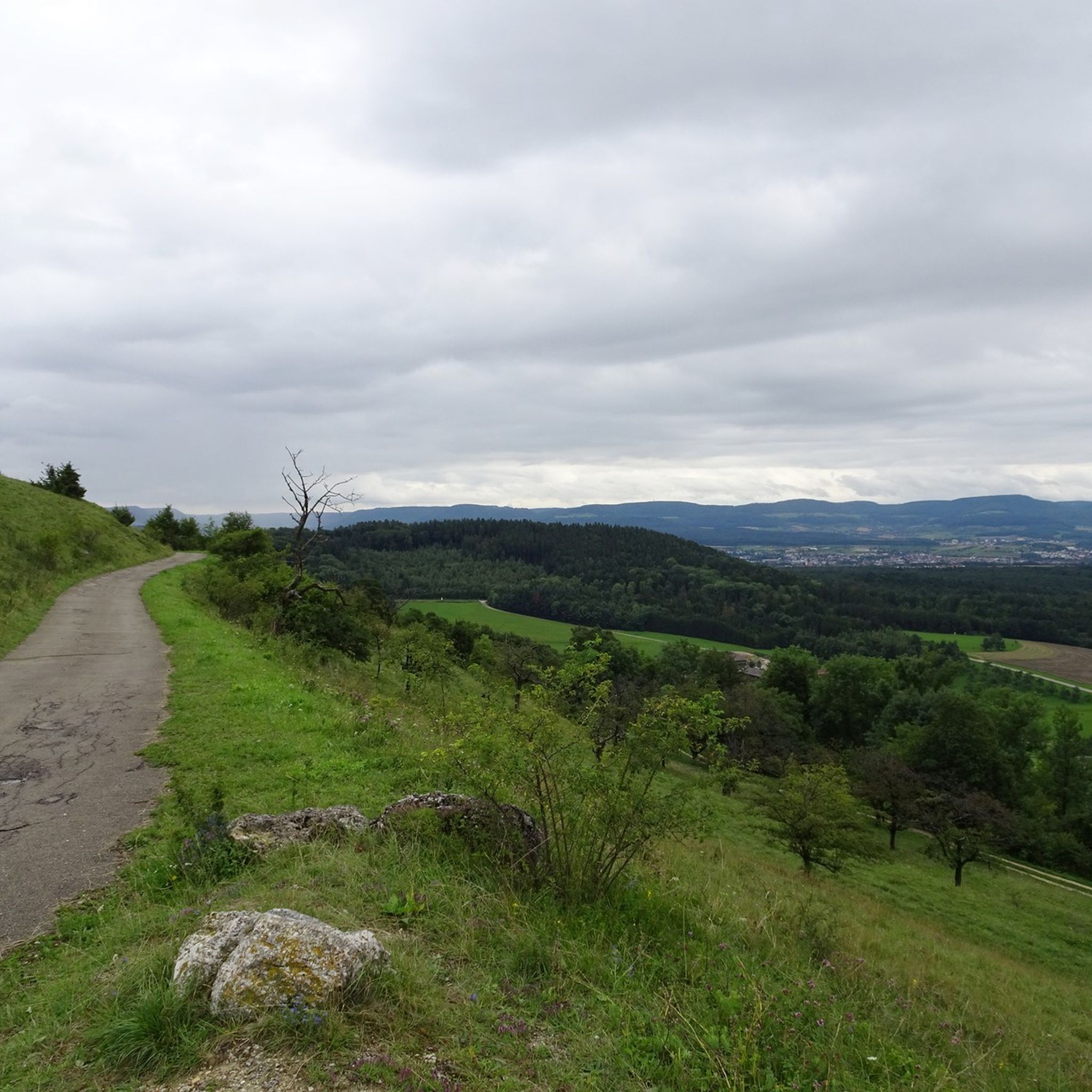
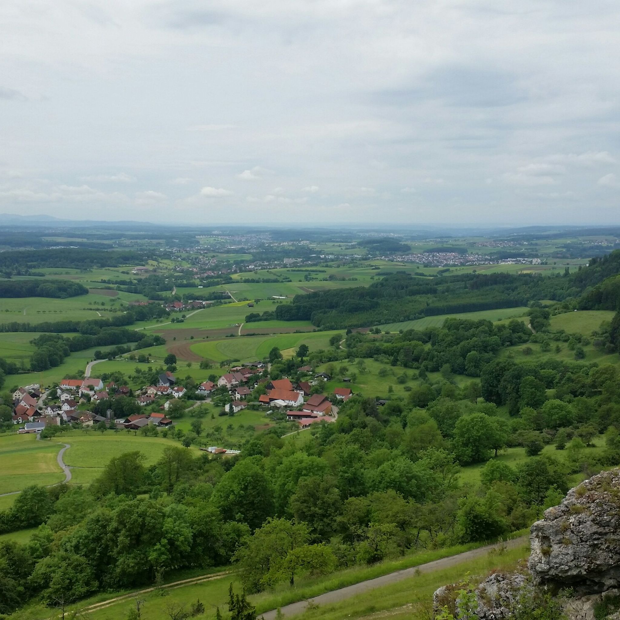
At the foot of the Hörnle, a breathtaking view opens up over the meadows, forests and mountains of the Swabian Alb.
2
0

This region is an experience especially in the golden autumn
1
0

The journey to Ottenbach was marked by road accompaniment. This changes from the edge of town, although vehicles may occasionally pass by. In any case, the scenery from here on is simply beautiful.
0
0
Frequently Asked Questions
How many touring cycling routes are available around Schwäbisch Gmünd?
There are over 500 touring cycling routes around Schwäbisch Gmünd, catering to various skill levels. This includes more than 120 easy routes, over 210 moderate routes, and more than 160 difficult routes, ensuring options for every cyclist.
What kind of terrain can I expect on touring cycling routes in Schwäbisch Gmünd?
The region offers diverse terrain, from well-developed paths along river valleys like the Remstal to routes with significant elevation changes around the prominent "Dreikaiserberge." You'll find a mix of rolling hills, some challenging climbs, and even unpaved sections on longer excursions, suitable for various cycling preferences and fitness levels.
Are there any easy touring cycling routes suitable for beginners?
Yes, Schwäbisch Gmünd offers over 120 easy touring cycling routes. A great option for a relaxed ride is the View of Eislingen – Bench on the Traufweg Trail loop from Ottenbach, which is an easy 13-mile (20.9 km) path with minimal elevation gain.
What are some notable landmarks or viewpoints along the cycling routes?
Many routes offer stunning views and pass by significant landmarks. You can enjoy panoramic vistas from the Hohenstaufen Castle Ruins and Viewpoint, visit the charming Reiterles Chapel, or reach the Stuifen Summit for expansive views of the Stauferland. The region's "Dreikaiserberge" (Hohenstaufen, Rechberg, and Stuifen) are central to many scenic routes.
Are there any circular touring cycling routes in the area?
Yes, many touring cycling routes around Schwäbisch Gmünd are designed as loops. For example, the View of Hohenstaufen – View of Hohenstaufen loop from Reichenbach unter Rechberg is a popular moderate circular route offering great views. Another option is the View from the Foot of Hörnle – View of Hohenstaufen loop from Ottenbach.
What do other touring cyclists say about the routes in Schwäbisch Gmünd?
The touring cycling routes in Schwäbisch Gmünd are highly rated by the komoot community, with an average score of 4.5 stars from over 4800 reviews. Cyclists often praise the diverse landscapes, the well-developed paths, and the combination of natural beauty with historical sites.
Are there any family-friendly cycling options?
Yes, the region offers routes suitable for families. The well-developed and signposted Remstal Cycle Path, particularly the section between Lorch and Schwäbisch Gmünd, is known for its picturesque scenery and is generally suitable for a family outing. Additionally, the Naturatum ErlebnisWaldpfad in the Taubental recreation forest offers an interactive adventure path that can be combined with cycling in the area.
Where can I find places to eat or rest along the cycling routes?
Several huts and restaurants are located along or near the cycling routes. You can find places like the Franz-Keller Hut on the Kalte Feld plateau, Villa Maus at Kaltes Feld, or Gasthaus zur Mutter Franzl, which offer opportunities for a break and refreshments.
What is the best time of year to go touring cycling in Schwäbisch Gmünd?
Schwäbisch Gmünd is an excellent destination for touring cycling from spring through autumn. The spring brings blossoming orchards, while summer offers warm weather for longer rides. Autumn provides beautiful foliage and comfortable temperatures. Always check local weather conditions before heading out.
Can I access the cycling routes using public transport?
The region has a well-developed public transport network. While specific routes for bicycle transport on local trains and buses should be checked with the respective operators, many areas around Schwäbisch Gmünd are accessible by public transport, allowing you to reach starting points for your cycling tours.
Are there any long-distance cycling routes that pass through Schwäbisch Gmünd?
Yes, the region is home to notable long-distance routes. The Remstal Cycle Path is a significant route that winds through picturesque scenery. Another physically demanding option is the Stauferroute, which connects historical sites of the Staufer dynasty between Göppingen and Lorch, offering a more challenging long-distance experience.
Most popular routes around Schwäbisch Gmünd
Most popular attractions around Schwäbisch Gmünd

Get inspired with the komoot mobile app


Explore more
Browse the best Cycling routes in other regions.
