The best walks and hikes around Alessandria Del Carretto
4.7
(94)
348
hikers
22
hikes
Hiking around Alessandria Del Carretto offers access to the diverse landscapes of Pollino National Park, a UNESCO Geopark. The region features dolomitic rocks, ancient limestone formations, deep gorges, and expansive plateaus. High-altitude pastures and the southern Apennines, often snow-capped, define the terrain, which is also home to the resilient Loricato Pine.
Best hiking trails around Alessandria Del Carretto
- The most popular hiking route is Colle Marcione alla Timpa del Principe – Pollino National Park – ring tour, a 5.1…
Last updated: October 11, 2026
4.9
(8)
28
hikers
The Colle Marcione alla Timpa del Principe ring tour is a difficult hike in Italy's Pollino National Park, covering 5.1 miles (8.2 km) with a significant 1625 feet (495 metres)…
4.0
(3)
10
hikers
7.75km
03:16
440m
440m
Hard hike. Good fitness required. Sure-footedness, sturdy shoes and alpine experience required.

4.5
(12)
52
hikers
Hard hike. Very good fitness required. Sure-footedness, sturdy shoes and alpine experience required.
4.52km
01:31
220m
220m
Easy hike. Great for any fitness level. Easily-accessible paths. Suitable for all skill levels.
4.1
(8)
12
hikers
Moderate hike. Good fitness required. Mostly accessible paths. Sure-footedness required.
Get access to more routes and recommendations from other explorers.
Already have an account?
Our route recommendations are based on thousands of hikes, rides, and runs completed by other people on komoot.
Start today with a free account
Your next adventure awaits.
Popular around Alessandria Del Carretto
Tips from the Community

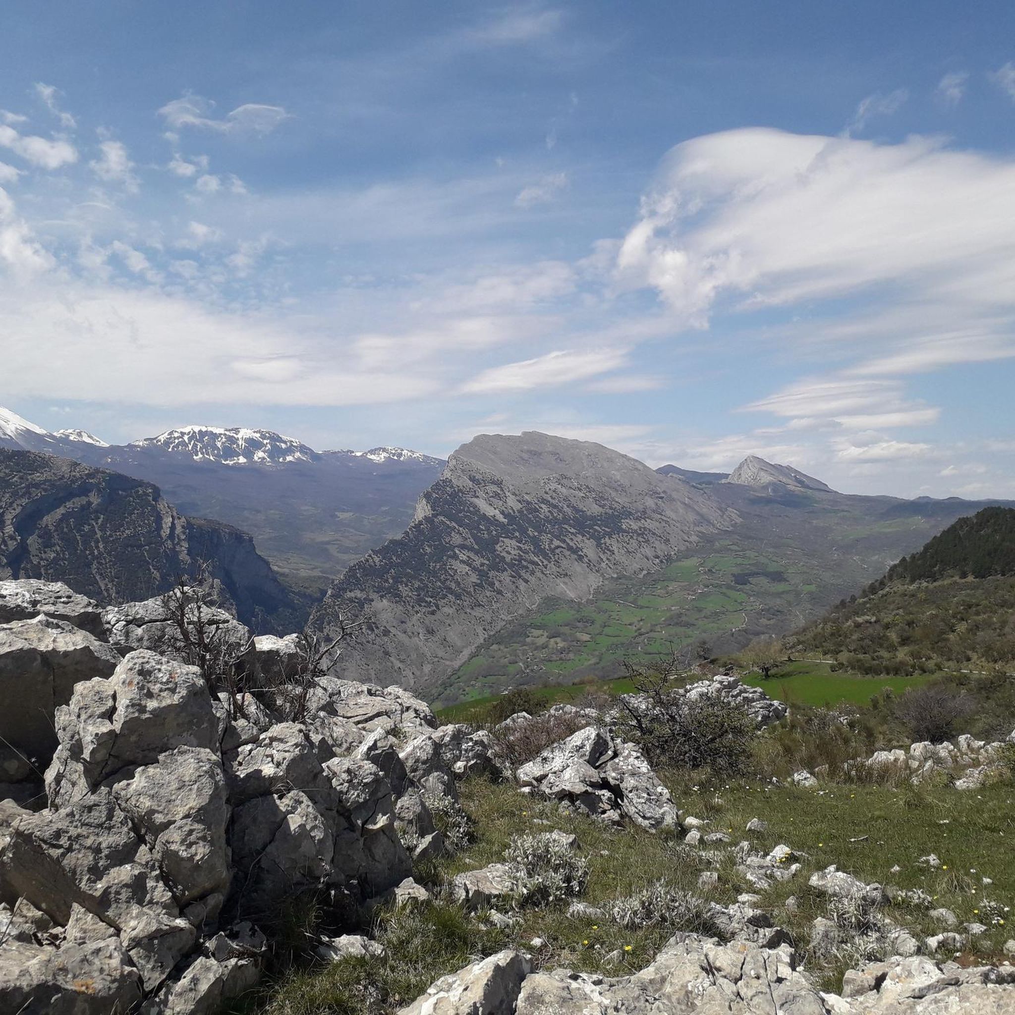
Tip: Wear shoes with good soles if you're hiking to the summit, as there are many rocky areas, and if it's a bit damp, you risk slipping. The trail, however, is well-marked and intuitive, with fantastic views. 🏞️
0
0

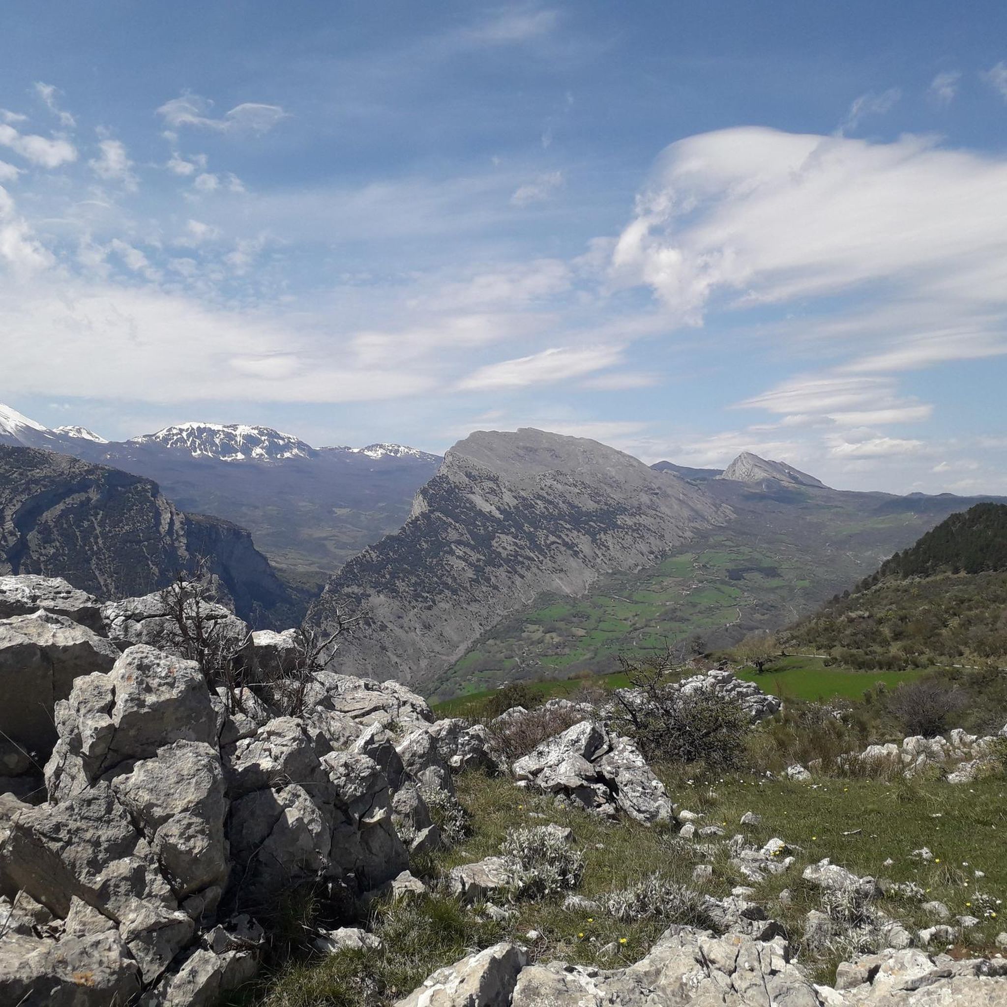
Municipality which, with its territorial extension, includes the Serra Dolcedorme (2,267 m asl), the highest mountain in Calabria.
1
0

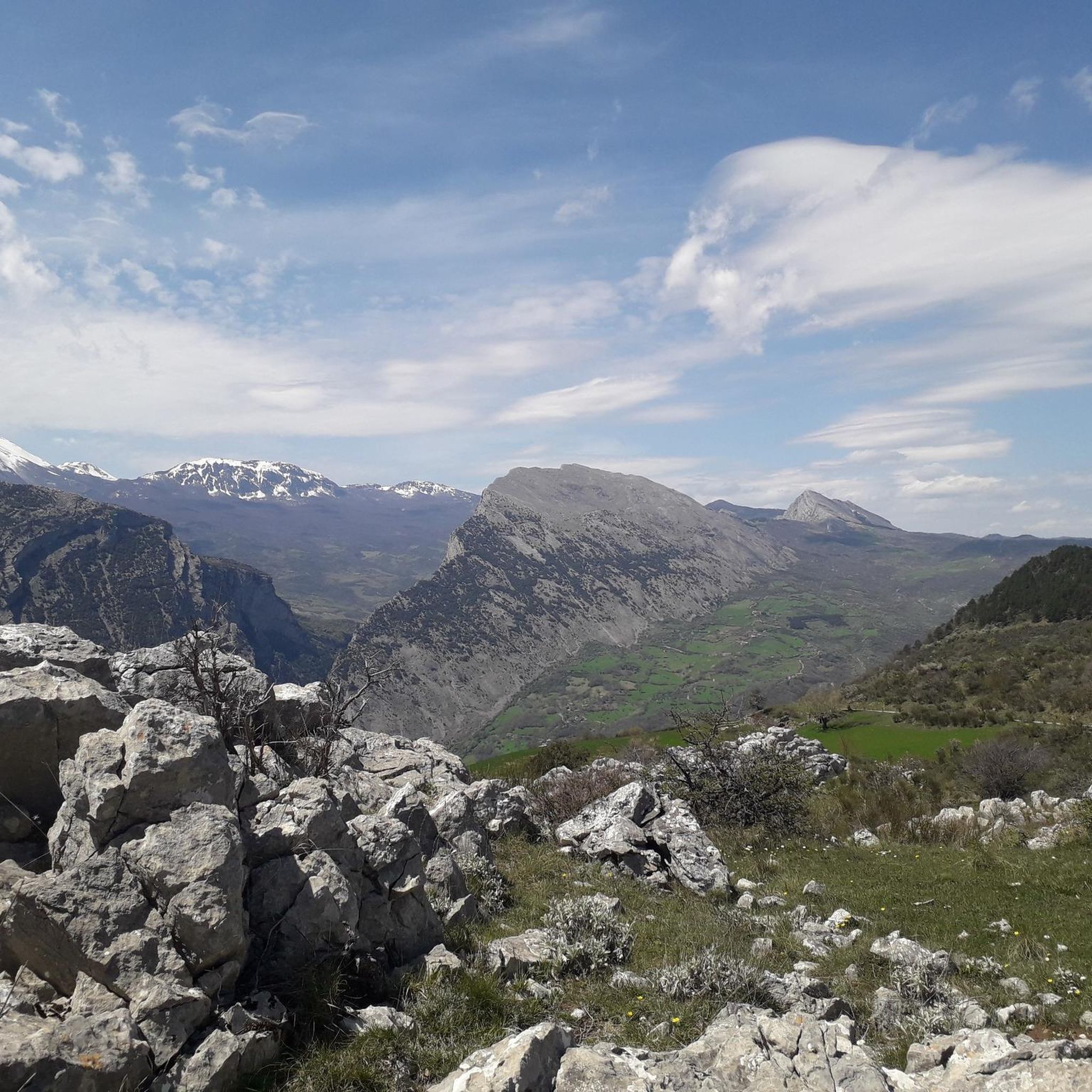
The Timpa del Principe (1741 m) is located on the path that connects Colle Marciano with Monte Manfriana. Following the ridge we arrive at Monte Manfriana, where there are man-sculpted boulders, possibly for the creation of a temple. To the north there is a very beautiful beech forest, with the name "La Fagosa".
1
0
The road that leads from Monte Sellaro to the Sanctuary coincides with the original access road to the monastery, which allowed to approach without being seen and as a spiritual path.
2
0
Monte Sellaro is 1439 meters high, and along the way you can find various types of oaks, and higher up there are pasture meadows. There are also wolves in this area.
1
0

Worth seeing monastery from the 15th century in a terrific location.
0
0
Frequently Asked Questions
How many hiking trails are available around Alessandria Del Carretto?
There are over 20 hiking trails around Alessandria Del Carretto, offering a diverse range of experiences within the Pollino National Park. These include routes of varying difficulty, from moderate ascents to more challenging mountain trails.
What kind of terrain can I expect on hikes in this region?
The terrain around Alessandria Del Carretto is highly varied, reflecting its location within the Pollino National Park. You can expect to traverse dolomitic rocks, ancient limestone formations, deep gorges, and expansive plateaus. High-altitude pastures and the southern Apennines, often snow-capped, also define the landscape.
Are there any easy or family-friendly hiking options?
While many trails are challenging, there is at least one easy route available. The region offers a wide array of hiking trails catering to all levels, from gentle walks suitable for families to more strenuous routes for seasoned trekkers. Look for routes with lower elevation gain and shorter distances for a more relaxed experience.
Are there any circular hiking routes in Alessandria Del Carretto?
Yes, several circular routes are available. For example, the Colle Marcione alla Timpa del Principe – Pollino National Park – ring tour is a difficult 8.2 km loop. Another option is the Mount Manfriana – Serra Dolcedorme loop from Colle Marcione, a longer 20.8 km difficult trail. For a moderate option, consider the Vincenzo Zuccaro Mountain Hut – Monte Panno Bianco loop from Cerchiara di Calabria.
What are some notable natural features or landmarks I might encounter on the trails?
Hikers can discover a variety of natural features. You might encounter the unique Loricato Pine, often called a 'living fossil,' thriving in harsh conditions. Peaks like Mount Sellaro, Timpa del Principe, and Monte Manfriana offer stunning views. The region also features numerous water sources, torrents, rapids, and waterfalls, particularly in the Valle del Saraceno.
What is the best time of year to go hiking in Alessandria Del Carretto?
The majestic peaks of the southern Apennines, which dominate the skyline, often remain snow-capped from November to May. This suggests that late spring through early autumn (June to October) would generally offer the most favorable conditions for hiking, avoiding snow and enjoying milder temperatures.
Are there any specific regulations or permits required for hiking in Pollino National Park?
As Alessandria del Carretto is located within the Pollino National Park, it's advisable to check for any specific regulations or permit requirements, especially for certain areas or activities. For official information regarding the park, you can visit the Pollino National Park page on italia.it.
What do other hikers say about the trails in Alessandria Del Carretto?
The routes in Alessandria Del Carretto are highly rated by the komoot community, with an average score of 4.6 stars from over 70 reviews. Nearly 300 hikers have used komoot to explore the varied terrain, often praising the pristine natural environment and diverse landscapes.
Is it possible to hike with dogs in Alessandria Del Carretto?
While the Pollino National Park is a protected area, specific rules regarding dogs on trails can vary. It's recommended to check the official park regulations or local signage for the most up-to-date information on dog-friendly trails and any leash requirements.
Are there any challenging hikes for experienced trekkers?
Yes, the region offers several challenging routes. For instance, the From Parco della Cessuta to Monte Sellaro – Pollino National Park is a difficult 7.7 km path leading towards the 1439-meter peak of Monte Sellaro. Another demanding option is the Mount Sellaro – Vincenzo Zuccaro Mountain Hut loop from Cerchiara di Calabria, a 12.4 km difficult route.
Where can I find parking for hiking trails near Alessandria Del Carretto?
Alessandria del Carretto is the highest village in Pollino National Park, and trailheads often start from or near the village. Parking availability will vary by specific trailhead. It's generally advisable to look for designated parking areas near the start of popular routes or within the village itself before heading out.
Are there any places to eat or stay in Alessandria Del Carretto?
Alessandria del Carretto is noted as an 'oasis of wellbeing and tranquility.' As a village, it likely offers local cafes, pubs, or restaurants, and potentially accommodation options. For more general information about the area, you can visit italia.it's page on Alessandria del Carretto.
Most popular routes around Alessandria Del Carretto
Most popular attractions around Alessandria Del Carretto

Get inspired with the komoot mobile app


Explore more
Browse the best Hikes in other regions.
