The best MTB trails around Santo Stefano Di Rogliano
4.4
(39)
198
riders
10
rides
Mountain biking around Santo Stefano Di Rogliano offers a diverse landscape for riders, situated at 663 meters above sea level at the foot of Monte Tirone. The region is characterized by a hilly and mountainous topography, featuring inherent climbs and descents ideal for mountain biking. Pine forests and the Savuto river valley contribute to the varied terrain, providing a mix of natural features for exploration.
Best mountain bike trails around Santo Stefano Di Rogliano
- The most popular mountain bike trail…
Last updated: October 7, 2026
4.3
(12)
48
riders
43.9km
02:53
720m
720m
Moderate mountain bike ride. Good fitness required. Suitable for all skill levels.
4.3
(13)
46
riders
29.2km
01:53
410m
410m
Hard mountain bike ride. Good fitness required. Advanced riding skills necessary. Some portions of the route may require you to push your bike.

5.0
(1)
17
riders
Hard mountain bike ride. Good fitness required. Advanced riding skills necessary. Some portions of the route may require you to push your bike.
14
riders
115km
08:33
1,850m
1,850m
Hard mountain bike ride. Very good fitness required. Advanced riding skills necessary. Some portions of the route may require you to push your bike.
Hard mountain bike ride. Good fitness required. Advanced riding skills necessary. Some portions of the route may require you to push your bike.
Get access to more routes and recommendations from other explorers.
Already have an account?
Our route recommendations are based on thousands of hikes, rides, and runs completed by other people on komoot.
Start today with a free account
Your next adventure awaits.
Popular around Santo Stefano Di Rogliano
Tips from the Community

All-season protection... summer by the lake, autumn admiring the foliage in the surrounding woods, and winter skiing at Botte Donato...
0
0

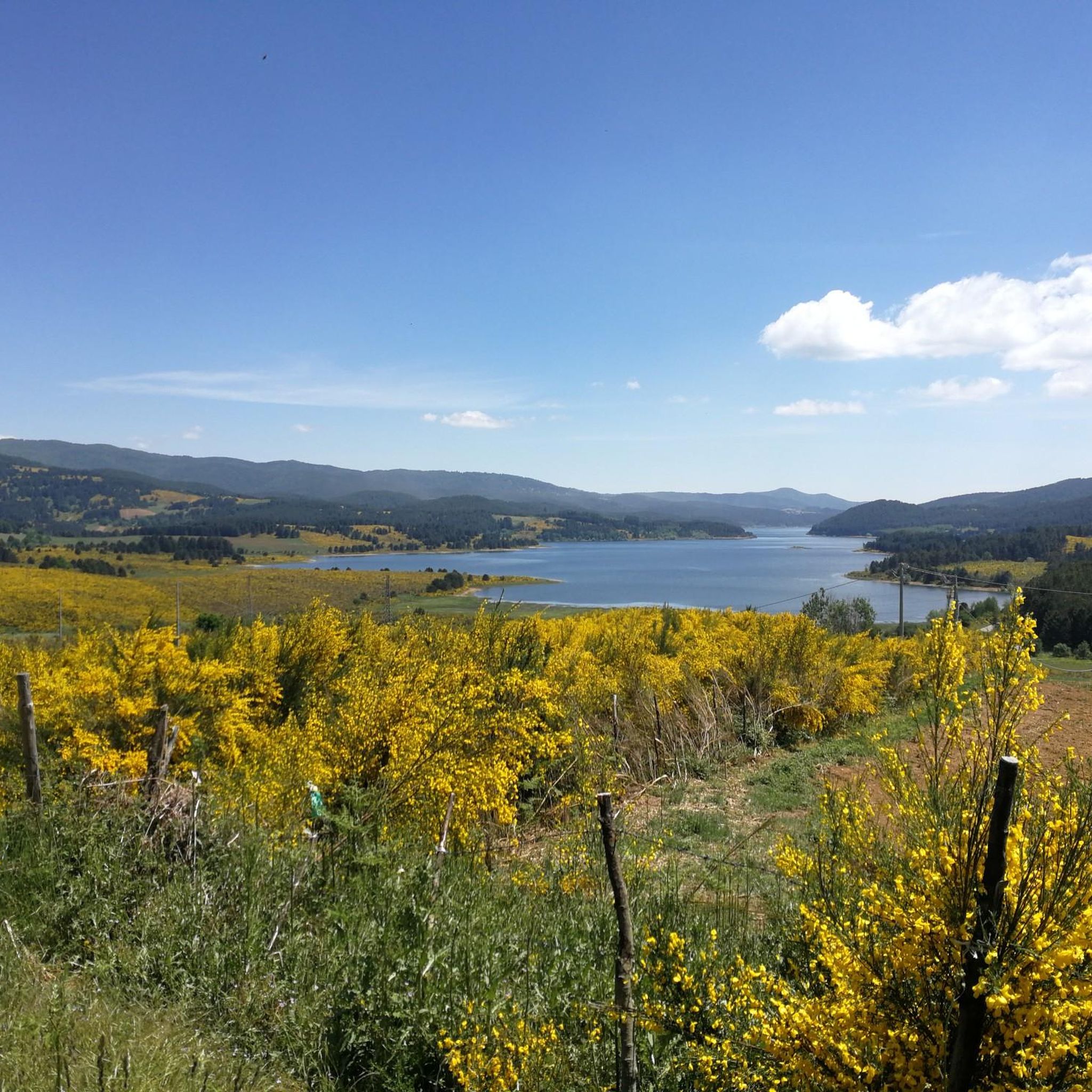
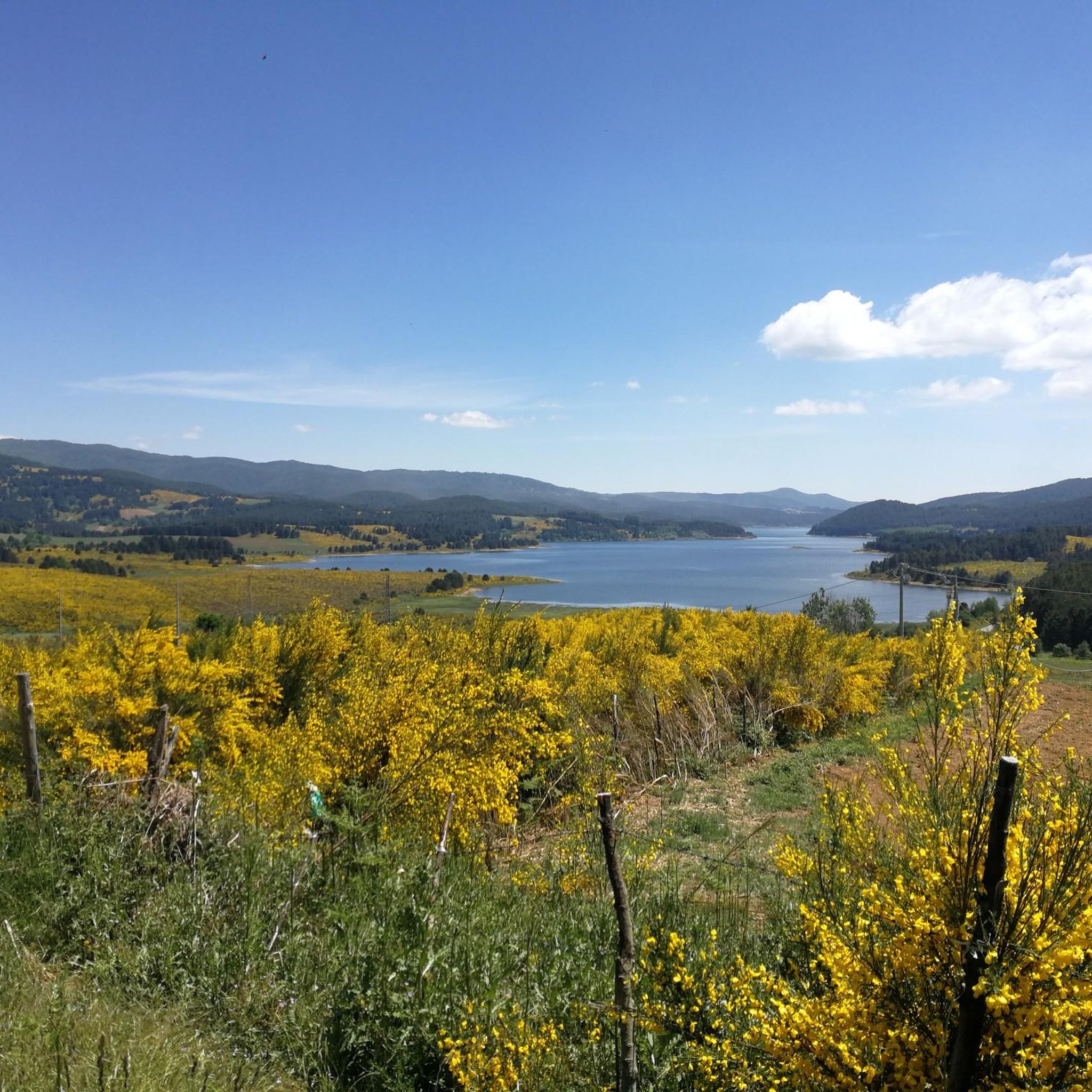
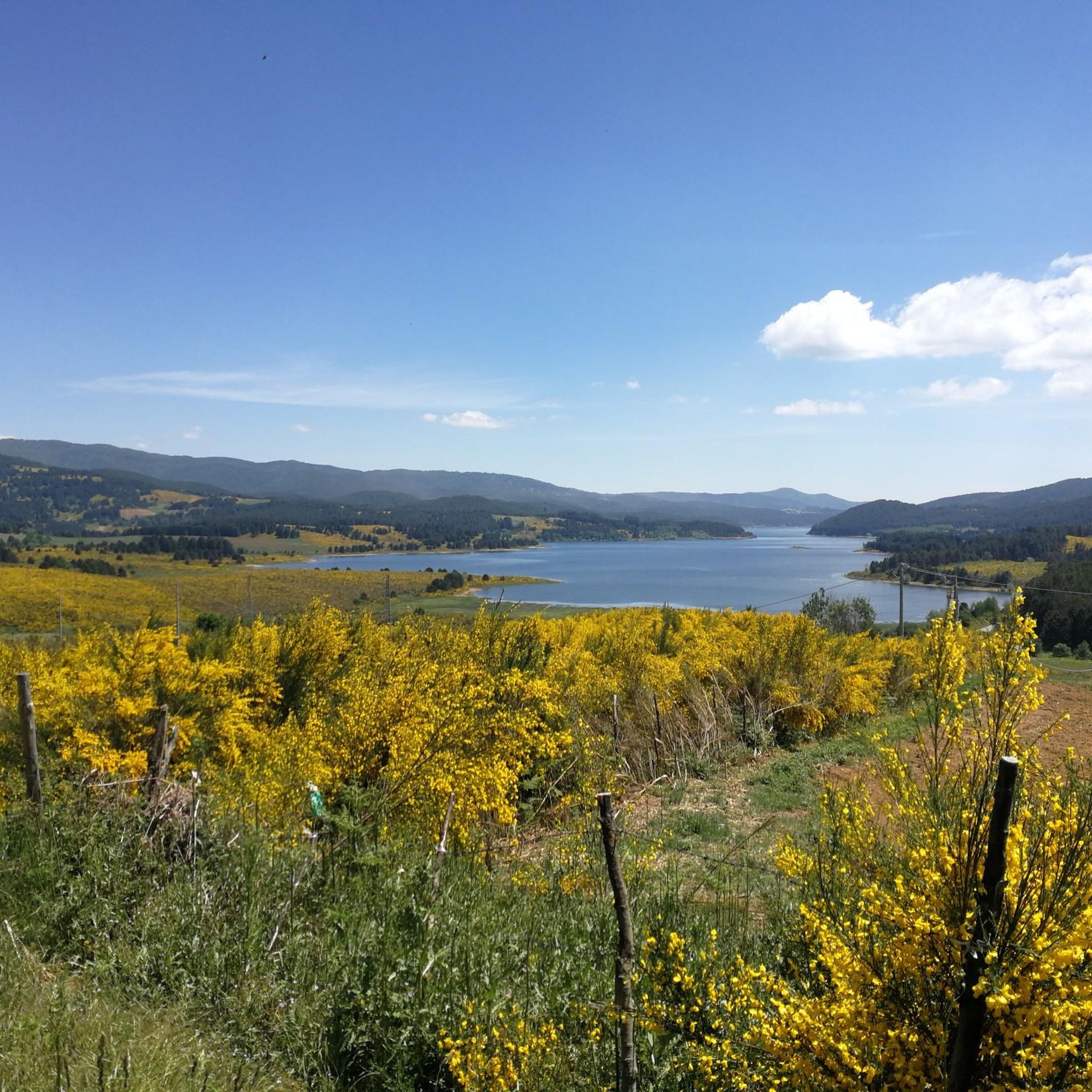
From the summit of Monte Botte di Donato, you can enjoy a beautiful view of Lake Arvo
0
0

Among the three large Calabrian lakes of the Sila, the Ampollino is certainly the least contaminated and consequently the most authentic to be appreciated by lovers of nature and landscapes.
0
0

In summer, you can take advantage of numerous cycling routes that lead through diverse landscapes - from mountain spruce forests to water areas of lakes. In winter, the area is home to the Camigliatello Silano ski resort, which attracts skiing and winter sports enthusiasts with its well-prepared facilities and picturesque location in the Sila massif. This is a place more for local skiing enthusiasts and beginners who want to combine active recreation with a vacation in the warm climate of Calabria. If you are looking for more serious skiing routes, you have to go further north in Italy or to the Alps. In Calabria, on the other hand, you will certainly appreciate nature, peace and a unique mountain climate.
1
0
The Ampollino Valley is surrounded by the mountains of the Sila massif, with clearly distinguishable peaks: Scorciavuoi (1627 m above sea level), Gariglione (1623 m above sea level), Zingomarro (1463 m above sea level) and Monte Nero (1747 m above sea level). There are extensive pine, beech and fir forests here, creating a Mediterranean mountain landscape characteristic of the region. The central element of the valley is the artificial reservoir Lago Ampollino, created by a dam (diga) on the Ampollino River. The shores of the lake are overgrown with reed beds and water lilies, and in the area you can see wild animals - deer, wild boars, waterfowl and birds of prey.
1
0
Every day is a new environment – mountain peaks, forests, lakes and sometimes a descent to the sea. Along the way, you can easily find various accommodation options: agritourism, B&B, shelters and campsites, adapted to the needs and tastes of cyclists.
0
0
Most of the route is quiet local roads, asphalt or forest paths with low traffic. It runs through mountainous terrain, with a height difference of over 1400m above sea level. The route requires good physical condition, a trekking bike, gravel or MTB, and is not intended for families with children (difficulty level: medium-high).
0
0
The Ciclovia stretches from Laino Borgo (Cosenza) to Reggio Calabria, is approximately 545 kilometres long and passes through four large national/regional parks: Pollino, Sila, Serre and Aspromonte.
0
0
Frequently Asked Questions
How many mountain bike trails are available around Santo Stefano Di Rogliano?
There are over 10 mountain bike trails around Santo Stefano Di Rogliano, offering a variety of experiences for different skill levels.
What are the difficulty levels of mountain bike trails in this area?
The trails around Santo Stefano Di Rogliano cater to various skill levels. You'll find 1 easy route, 3 moderate routes, and 9 difficult routes, ensuring options for beginners and experienced riders alike.
Are there any circular mountain bike routes?
Yes, many of the mountain bike routes around Santo Stefano Di Rogliano are circular. For example, the Lake Arvo – Lorica and Lake Arvo loop from Poverella is a popular difficult circular trail exploring the scenic Lake Arvo area.
What kind of terrain can I expect on the mountain bike trails?
The region offers a diverse and rugged terrain, characterized by hilly and mountainous topography with inherent climbs and descents. You'll ride through pine forests, the Savuto river valley, and encounter trails ranging from single tracks with hard-packed dirt to routes with rocky sections, providing both flow and technical challenges.
Can I use an e-bike on the trails?
Yes, the Santo Stefano MTB Trail Area is e-bike friendly, with 8 of its trails specifically supporting e-bike riding. This makes the exhilarating uphill and rapid downhill tracks accessible to a broader audience.
Are there scenic viewpoints or natural features along the mountain bike trails?
Absolutely. Many trails reward riders with panoramic views and beautiful natural scenery. You can explore areas like Lorica and Lake Arvo, ride towards Monte Botte Donato for elevated perspectives, or discover The Terrace on Lake Arvo. The region is also close to the Sila National Park, offering pristine landscapes.
Are there any waterfalls I can visit while mountain biking?
Yes, you can find natural attractions like the Cannavina Waterfalls, which can be a refreshing stop during your mountain biking adventure.
What other attractions can I explore near the mountain bike trails?
Beyond the trails, the area offers cultural and historical points of interest. You can visit the historic center of Santo Stefano Di Rogliano with its religious architecture, or explore the Castello Svevo in nearby Cosenza for a wonderful overview of the Crati Valley. The Tenuta Bocchineri also offers a natural oasis with a botanical garden.
Are there family-friendly mountain bike routes?
While many routes are challenging, there is at least one easy mountain bike trail available, which could be suitable for families or those looking for a more relaxed ride. The trails around Lake Arvo also offer varying levels of difficulty, with some accessible paths.
Are the mountain bike trails dog-friendly?
While specific regulations for dogs on mountain bike trails are not universally posted, generally, dogs are welcome on trails in natural areas like the Sila National Park, provided they are kept under control, especially around wildlife. Always ensure your dog is well-behaved and that you clean up after them.
What do other mountain bikers enjoy the most about mountain biking in Santo Stefano Di Rogliano?
The area is highly rated by the komoot community, with an average score of 4.4 stars from over 20 reviews. Reviewers often praise the diverse terrain, the challenging climbs and descents, and the beautiful natural scenery, particularly around Lake Arvo and the Sila National Park.
What is a good challenging route for experienced mountain bikers?
For experienced riders seeking a challenge, the Lake Arvo – Monte Botte Donato loop from Lorica is a difficult 25.7-mile (41.3 km) path with significant elevation changes, offering a rewarding experience through mountainous terrain.
Most popular attractions around Santo Stefano Di Rogliano

Get inspired with the komoot mobile app


Explore more
Browse the best MTB trails in other regions.
