The best walks and hikes around Scido
4.3
(127)
625
hikers
33
hikes
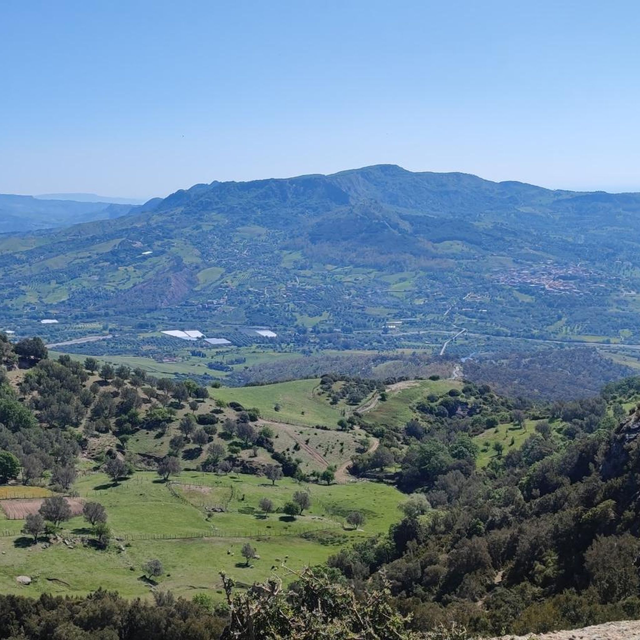
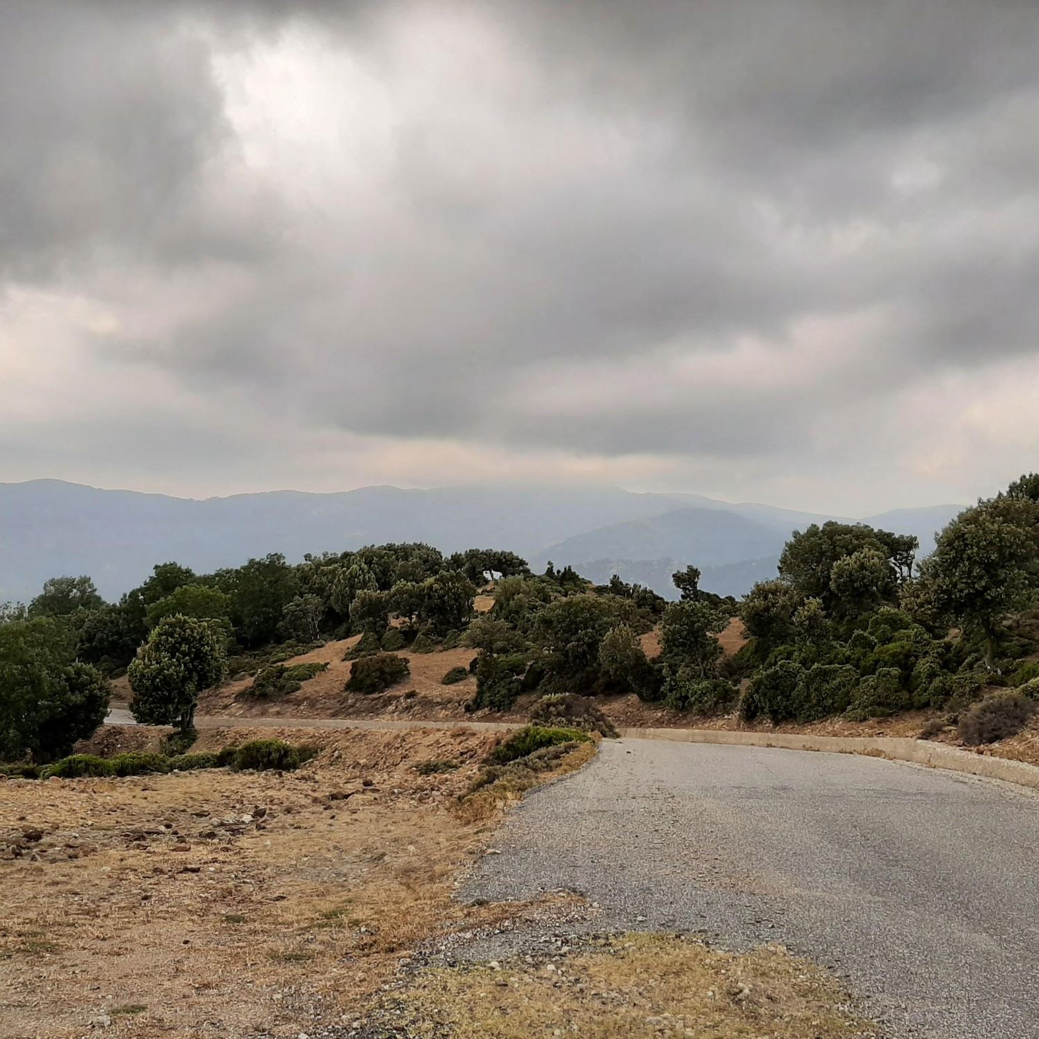
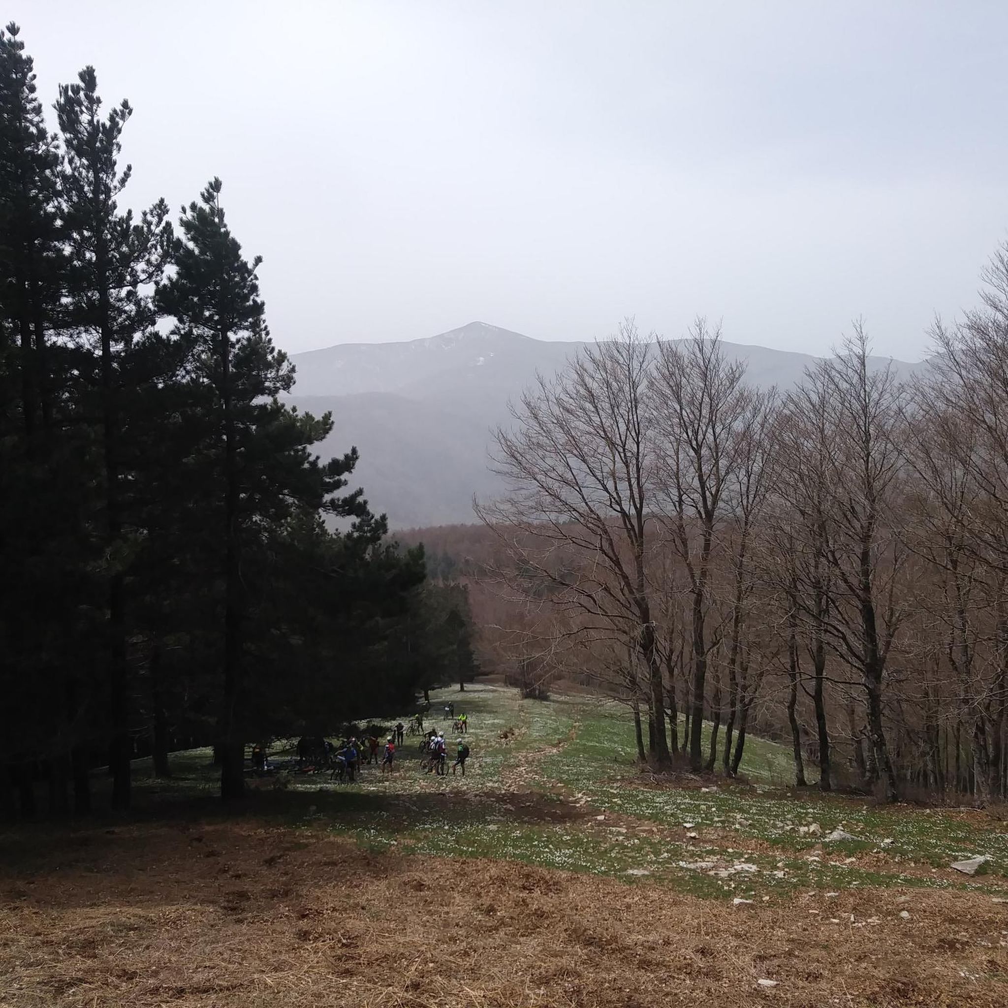
Hiking around Scido offers access to the diverse landscapes of the Aspromonte National Park, characterized by expansive panoramic views and distinctive plateaus. The region features rugged terrain with significant elevation changes, providing a natural environment for outdoor exploration. Trails often lead through varied ecosystems, showcasing the natural beauty of southern Italy.
Best hiking trails around Scido
- The most popular hiking route is Piani di Carmelia Trail, a 9.7 miles (15.6 km) trail that takes 5 hours 15 minutes to…
Last updated: November 5, 2026
4.0
(4)
20
hikers
15.6km
05:16
800m
800m
Hard hike. Very good fitness required. Easily walkable paths.
1
hikers
Moderate hike. Good fitness required. Easily walkable paths.

1
hikers
Hard hike. Very good fitness required. Easily walkable paths.
17.0km
05:46
830m
830m
Hard hike. Very good fitness required. Mostly walkable paths. Sure-footedness required.
4.71km
01:20
110m
110m
Easy hike. Easily walkable paths.
Get access to more routes and recommendations from other explorers.
Already have an account?
Our route recommendations are based on thousands of hikes, rides, and runs completed by other people on komoot.
Start today with a free account
Your next adventure awaits.
Popular around Scido
Tips from the Community

Cozy rifugio run by a nice couple.
5
0

Beautiful panorama overlooking the Ionian and Tyrrhenian Sea.
2
0

We were received very warmly by Marie-Thérèse and Antonio in their refuge. We felt like home. Very good address.
0
0

Piani di Carmelia is a mountain resort in Delianuova, nestled in Aspromonte. Nearby is the Biancospino refuge.
3
0
Delianuova, located on the slopes of Aspromonte between 600 and 800 m above sea level, is a Calabrian municipality surrounded by vast olive groves, a symbol of the local economy. Renowned for the Carmelia area and its lush woods, it is a popular destination for those who want to escape on summer days or look for precious autumn mushrooms.
1
0

This is the Il Biancospino Refuge, located in the heart of the Aspromonte Park along the "Ciclovia Parchi della Calabria". Here you can enjoy a hot dish and find a bed to rest. The environment is really lovely.
2
0


City on the slopes of the Aspromonte with a land rich in olive trees, larch firs and holm oaks. It is usually quite cool given its relative distance from the sea.
2
0
Frequently Asked Questions
How many hiking trails are available around Scido?
There are over 30 hiking trails around Scido, offering a variety of experiences within the Aspromonte National Park. These include 11 easy routes, 12 moderate paths, and 9 more challenging trails.
What kind of landscapes can I expect to see while hiking near Scido?
Hiking around Scido provides access to the diverse landscapes of the Aspromonte National Park. You'll encounter expansive panoramic views, distinctive plateaus, and rugged terrain with significant elevation changes, all showcasing the natural beauty of southern Italy.
Are there easy hiking options for beginners or families in Scido?
Yes, Scido offers 11 easy hiking routes suitable for beginners or families. These trails provide a gentler introduction to the region's natural beauty without requiring extensive fitness or experience. For example, there are several moderate options like the From Piani di Carmelia to Monte Fistocchio – loop in the Aspromonte National Park, which is a 7.9-mile path.
What are some natural attractions or landmarks I can see on the trails?
The trails around Scido often lead through the scenic Aspromonte National Park. You might also encounter impressive waterfalls such as Galasia Waterfall and Maesano Waterfalls. For those seeking panoramic views, the summit of Montalto (1956 m) offers a rewarding destination.
Are there any circular hiking routes around Scido?
Yes, many of the trails around Scido are designed as circular routes, allowing you to start and end at the same point. A notable example is the From Piani di Carmelia to Monte Fistocchio – loop in the Aspromonte National Park, which offers a varied terrain experience.
What is the best time of year to go hiking in Scido?
The best time to hike in Scido is generally during spring and autumn when the weather is milder and more pleasant. Summer can be hot, especially at lower elevations, while winter may bring snow to higher parts of the Aspromonte National Park, requiring appropriate gear and experience.
What do other hikers enjoy most about hiking in Scido?
The area is highly rated by the komoot community, with an average score of 4.5 stars from over 90 reviews. Hikers often praise the panoramic views, the diverse plateaus, and the rugged terrain within the Aspromonte National Park, highlighting the immersive natural experience.
Are there any challenging trails for experienced hikers?
Absolutely. Scido offers 9 difficult routes for experienced hikers seeking a challenge. These trails, like the Italy Trail - Stage U02, often feature significant elevation gains and rugged terrain, requiring good fitness, sure-footedness, and sturdy shoes.
How long do hikes around Scido typically take?
Hiking durations vary significantly depending on the trail's length and difficulty. For instance, the challenging Piani di Carmelia Trail, at 9.7 miles (15.6 km), typically takes over 5 hours to complete. Shorter, easier routes will naturally take less time.
Is it possible to reach hiking trails around Scido using public transport?
While Scido is situated near the Aspromonte National Park, public transport options directly to trailheads can be limited. It's advisable to research specific routes and local bus services in advance, or consider driving and parking at designated trail access points.
Are there specific trails that offer extensive views?
Many trails in the region are known for their extensive views, particularly those within the Aspromonte National Park. The Piani di Carmelia Trail is specifically highlighted for its panoramic vistas and access to distinctive plateaus.
Most popular routes around Scido
Most popular attractions around Scido

Get inspired with the komoot mobile app


Explore more
Browse the best Hikes in other regions.
