The best road cycling routes around Pomster
4.5
(81)
2,657
riders
134
rides
Road cycling routes around Pomster traverse a region characterized by varied terrain, including valleys, passes, and circuits through the Eifel landscape. The area features numerous roads suitable for cycling, often with significant elevation changes. Many Pomster road bike routes with elevation offer challenging climbs and descents. The road network provides opportunities for cyclists to explore the region's physical features.
Best road cycling routes around Pomster
- The most popular road cycling route is Barweiler circuit - Eifel, a 39.9 miles…
Last updated: May 20, 2026
5.0
(1)
20
riders
99.4km
05:16
1,540m
1,540m
Hard road ride. Very good fitness required. Mostly well-paved surfaces and easy to ride.
28
riders
64.2km
03:19
1,070m
1,070m
Hard road ride. Very good fitness required. Some segments of this route may be unpaved and difficult to ride.

Sign up for free
5.0
(9)
92
riders
70.6km
03:43
1,220m
1,220m
Hard road ride. Very good fitness required. Some segments of this route may be unpaved and difficult to ride.
5.0
(2)
27
riders
55.7km
02:51
950m
950m
Hard road ride. Very good fitness required. Mostly well-paved surfaces and easy to ride.
4.0
(1)
18
riders
52.4km
03:05
630m
630m
Moderate road ride. Good fitness required. Some segments of this route may be unpaved and difficult to ride.
Get access to more routes and recommendations from other explorers.
Sign up for free
Already have an account?
Our route recommendations are based on thousands of hikes, rides, and runs completed by other people on komoot.
Start today with a free account
Your next adventure awaits.
Login or Signup
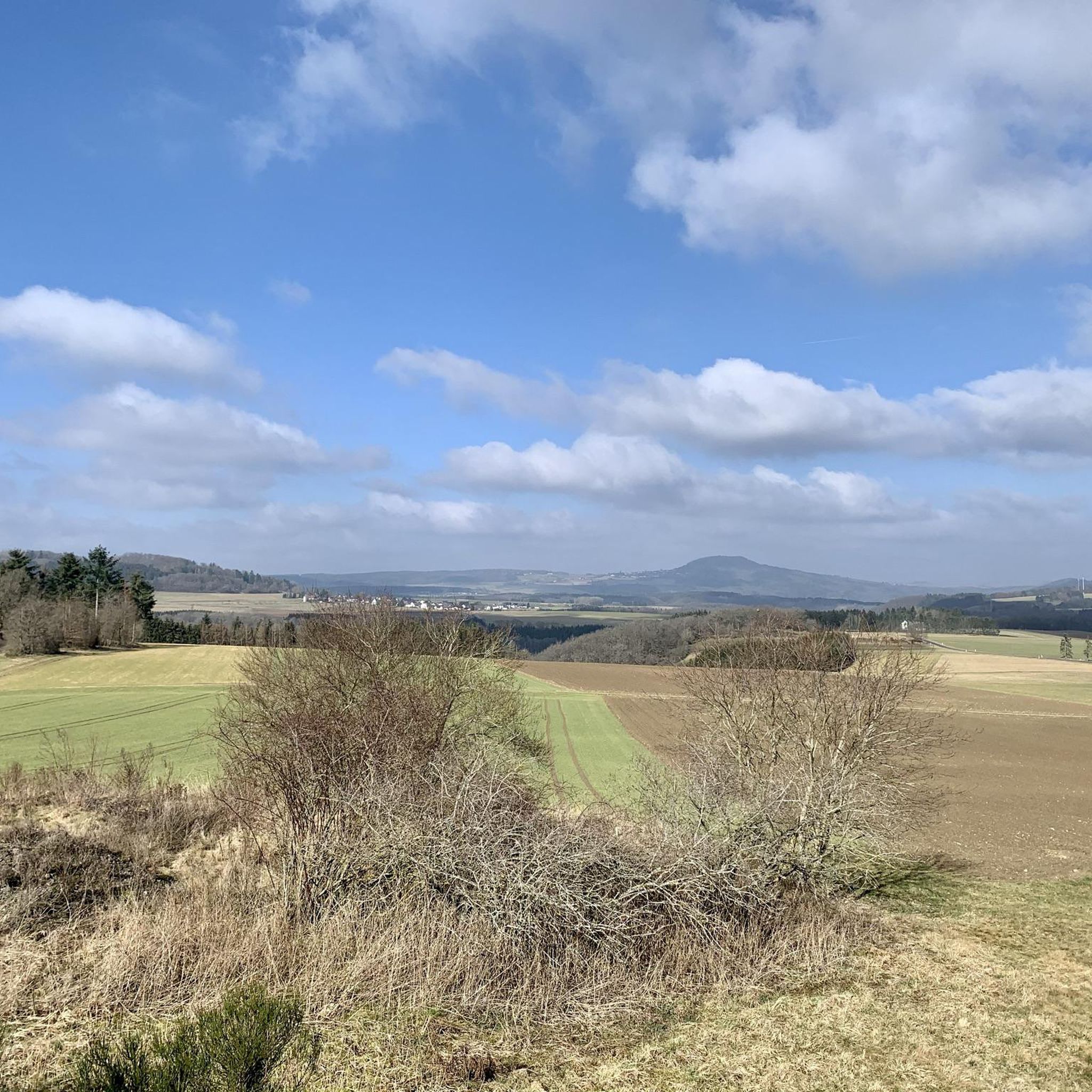
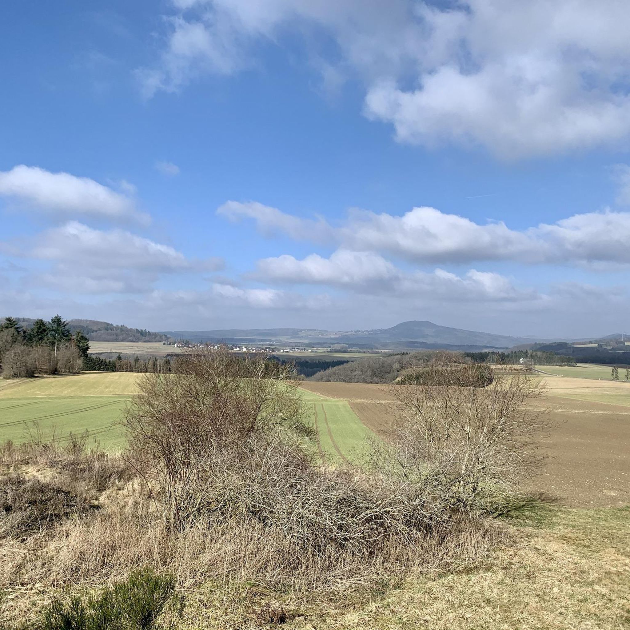
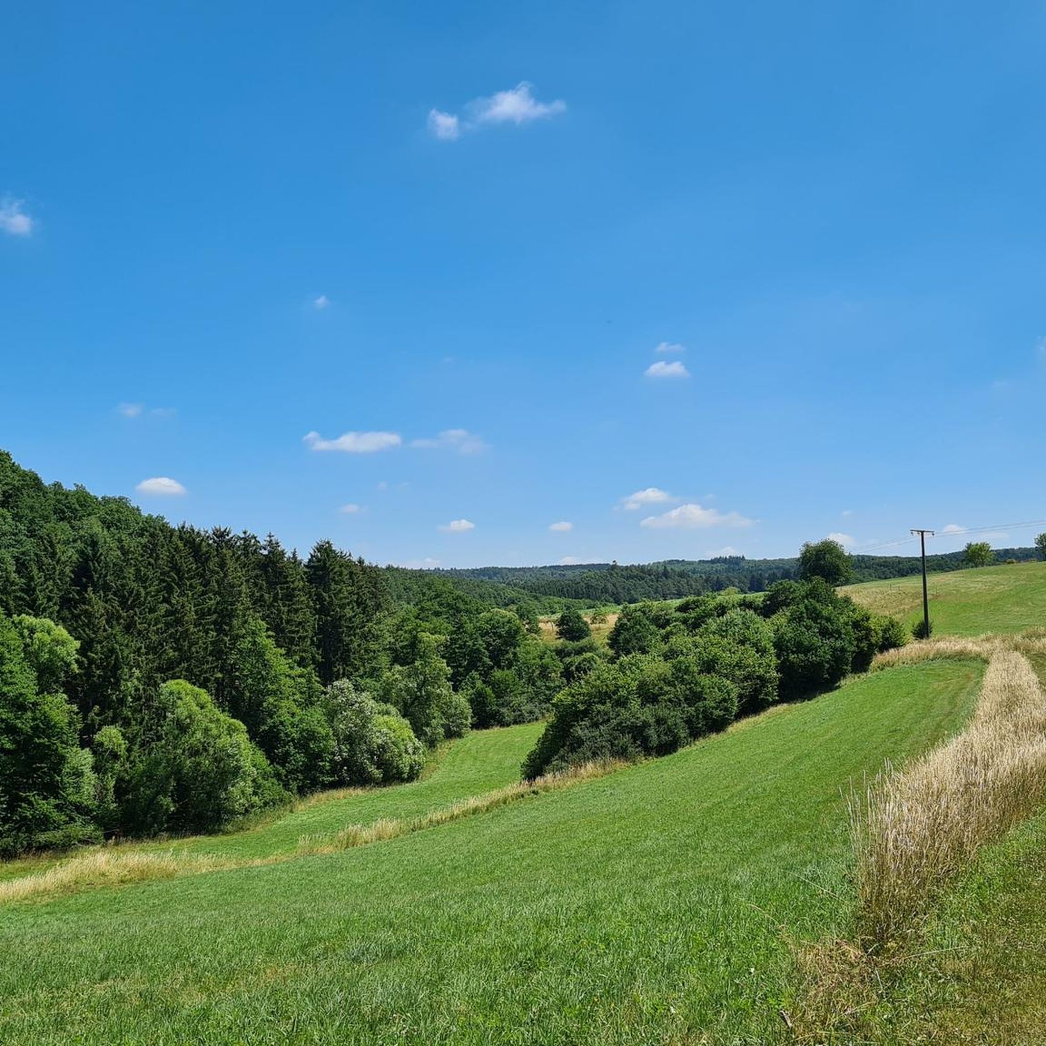
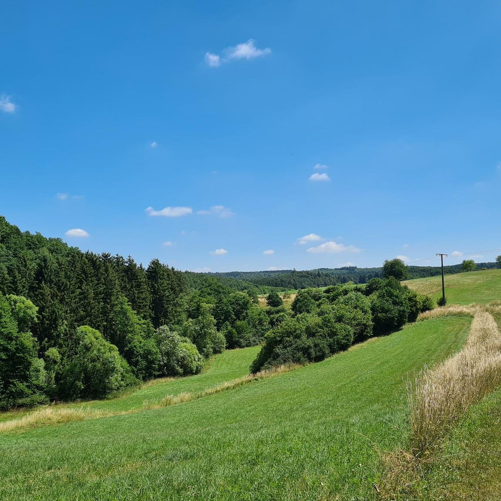

Tips from the Community

Saint John of Nepomuk was a priest (Vicar General of the Archbishop) in Bohemia who died a martyr's death in Prague in 1393. On royal command, he was thrown from the Charles Bridge in Prague into the Vltava River and drowned. His statue can still be found on or near many bridges today – here in the town of Blankenheim, twice in close proximity to the source of the Ahr River. He is considered not only a popular "bridge saint" but is also the patron saint of the seal of confession. In many depictions of him, he holds a cross in one hand, and with the other, he sometimes places a finger on his lips as a sign of silence (about what was heard during confession). The feast day of Saint John of Nepomuk in the calendar of saints is on March 20th.
1
0

"John of Nepomuk or John of Pomuk (Latin: Joannes de Pomuk, Czech: Jan Nepomucký or Jan z Pomuka, * c. 1350 in Pomuk near Pilsen; † March 20, 1393 in Prague) was a Bohemian priest and martyr. He was canonized by Pope Benedict XIII in 1729 and is considered the "bridge saint" and patron of the seal of confession. Along with crosses and depictions of the Virgin Mary, sculptures of Saint Nepomuk are the most commonly found Christian stone figures outside of church buildings in the open countryside in Catholic areas of southern Germany, Bohemia, Moravia, and Austria. Statues of the saint are often found on or next to bridges. The most famous of these, created by Johann Brokoff in 1683, is located on Prague's Charles Bridge at the spot where the saint was thrown into the Vltava River. " https://de.wikipedia.org/wiki/Johannes_Nepomuk "... John of Nepomuk lived from about 1350 to 1393. He died as punishment by being thrown from the Charles Bridge into the Vltava River and drowned. As a bridge saint, his statue stands on many bridges in Europe. ..." 👉 Life and work of John of Nepomuk and further information: https://www.erzbistum-koeln.de/presse_und_medien/magazin/Johannes-Nepomuk-der-Brueckenheilige
3
0

Nice change on the cycle path along the Ahr
0
0


Neublankenheim Castle, located on the edge of the Ahbach Valley, has a varied history spanning over 700 years. First mentioned in 1272, the castle passed into the possession of the Counts of Manderscheid after the Blankenheim family died out. As early as the 16th century, the castle complex began to decay until it was acquired by the Duke of Aremberg in 1769. Today, the ruins, which were extensively renovated in 2005 and 2006 and thus saved from complete decay, belong to the Vulkaneifel district.
0
0

After the outdoor pool closed, the Weiherpark in the North Rhine-Westphalian municipality was left to its own devices – a barely used and inaccessible brownfield site with dilapidated structures emerged near the town center. A park is now being created at the confluence of the Ahr and Giesenbach rivers that blends into the landscape and connects Blankenheim with the surrounding nature. The vision: a spacious, species-rich valley landscape in the immediate vicinity of the town center. The Weiherpark has been rebuilt and redesigned over decades. After the swimming pool closed in 2015, large parts of it remained unused; only the Swan Pond in the center of the park remained accessible. The ideas and wishes of the residents were incorporated into the redevelopment plans. Existing and unused facilities will be demolished and landscaped; The subsequently remodeled terrain will connect to the neighboring valleys, bringing nature directly into the town. The renaturalized Weiherpark will be accessible and accessible for everyone. Thanks to the exposure of the Giesenbach stream, its confluence with the Ahr will become an integral part of the park, creating a connection to the Ahr source in the nearby historic town center. Source: https://die-gruene-stadt.de/ein-gruenes-tal-kehrt-zurueck/
4
0

It's a nice view, but it's better to look at the road around the town. What happened here? Very bad asphalt.
0
0
Great climb. Almost nothing going on, asphalt, at least for uphill, is OK and there are switchbacks like on the small Alpine pass. The view at the top is also great.
1
0
Frequently Asked Questions
How many road cycling routes are available around Pomster?
There are over 130 road cycling routes around Pomster. These routes vary in difficulty, offering options for different skill levels, from moderate to difficult.
Are there road cycling routes suitable for beginners in Pomster?
While many routes in Pomster feature significant elevation changes, there are 9 routes classified as easy and 76 as moderate. These moderate routes can be suitable for beginners looking to challenge themselves or those with some cycling experience.
What are the most challenging road cycling routes around Pomster?
For experienced cyclists seeking a challenge, there are 48 difficult routes. The Wiesemscheid circuit - Eifel is a demanding 61.8-mile (99.4 km) path with over 1,500 meters of elevation gain, navigating through substantial climbs and descents in the Eifel region.
What is the typical length and duration of road cycling routes in Pomster?
Route lengths vary significantly. For example, the popular Barweiler circuit - Eifel is 39.9 miles (64.2 km) and takes approximately 3 hours 20 minutes. Longer routes, like the Wiesemscheid circuit - Eifel, can extend to nearly 100 km and take over 5 hours to complete.
Are there any scenic viewpoints along the road cycling routes in Pomster?
Many routes in the Eifel region offer panoramic views due to the varied terrain and elevation changes. The 12% climb to Rodder – View of Winnerath loop from Barweiler, for instance, provides views towards Winnerath after a challenging ascent.
What is the best time of year for road cycling in Pomster?
The Eifel region is generally best for road cycling from spring through autumn, when the weather is milder and conditions are more stable. During winter, routes can be affected by snow and ice, making cycling more challenging and potentially hazardous.
Are there loop road cycling routes available around Pomster?
Yes, many road cycling routes around Pomster are designed as loops, allowing you to start and finish at the same point. Examples include the Herschbach Valley – Linder Höhe Pass from Brück loop from Barweiler and the Swan Pond, Blankenheim loop from Dankerath.
What kind of attractions can I see near the road cycling routes in Pomster?
The region around Pomster is rich in historical and natural sights. You can explore various castles, such as Kerpen Castle (Eifel) or Nürburg Castle. There are also several lakes and ponds, including the Hoffelder Kopp Quarry Lake and the Barweiler Mill Fishing Ponds, which can be found near many routes.
What do other road cyclists enjoy most about road cycling in Pomster?
The road cycling routes in Pomster are highly rated by the komoot community, with an average score of 4.5 stars from over 80 reviews. Cyclists often praise the challenging passes, scenic valleys, and extensive circuits that define the region's diverse terrain.
Are there any routes that pass by lakes or water features?
Yes, some routes will take you near the region's water features. For example, the Swan Pond, Blankenheim loop from Dankerath passes by the Swan Pond, offering a pleasant change of scenery.
What are the typical road conditions like for cycling in Pomster?
The road network in Pomster is generally suitable for road cycling, though conditions can vary. Cyclists should be prepared for varied terrain, including both smooth stretches and roads with significant elevation changes, characteristic of the Eifel landscape.
Most popular attractions around Pomster

Get inspired with the komoot mobile app


Explore more
Browse the best Road cycling routes in other regions.
