The best walks and hikes around Poggersdorf
4.6
(2497)
17,036
hikers
393
hikes
Hiking around Poggersdorf, located in the Klagenfurt-Land district of Carinthia, Austria, offers diverse outdoor experiences. The region is characterized by rolling hills, dense forests, and open meadows, providing varied terrain for hikers. Gentle streams and picturesque landscapes define the area's natural beauty. This geographical setting makes Poggersdorf a suitable destination for exploring on foot.
Best hiking trails around Poggersdorf
- The most popular hiking route is St. Christoph Church – Magdalensberg Summit House loop from St. Christof, a 7.6 miles…
Last updated: August 18, 2026
4.6
(28)
128
hikers
12.1km
03:36
360m
360m
Moderate hike. Good fitness required. Easily-accessible paths. Suitable for all skill levels.
3.0
(1)
37
hikers
13.9km
04:12
450m
450m
Moderate hike. Good fitness required. Easily-accessible paths. Suitable for all skill levels.

Sign up for free
5.0
(4)
30
hikers
24.4km
07:20
790m
790m
Hard hike. Very good fitness required. Easily-accessible paths. Suitable for all skill levels.
5.0
(2)
28
hikers
11.7km
03:29
340m
340m
Moderate hike. Good fitness required. Mostly accessible paths. Sure-footedness required.
5.0
(2)
16
hikers
Hard hike. Very good fitness required. Mostly accessible paths. Sure-footedness required.
Get access to more routes and recommendations from other explorers.
Sign up for free
Already have an account?
Our route recommendations are based on thousands of hikes, rides, and runs completed by other people on komoot.
Start today with a free account
Your next adventure awaits.
Login or Signup


Tips from the Community

Excellent cuisine very friendly 👍😋😋
0
0
There's a restaurant next to the church, and the food is excellent. I highly recommend it.
0
0

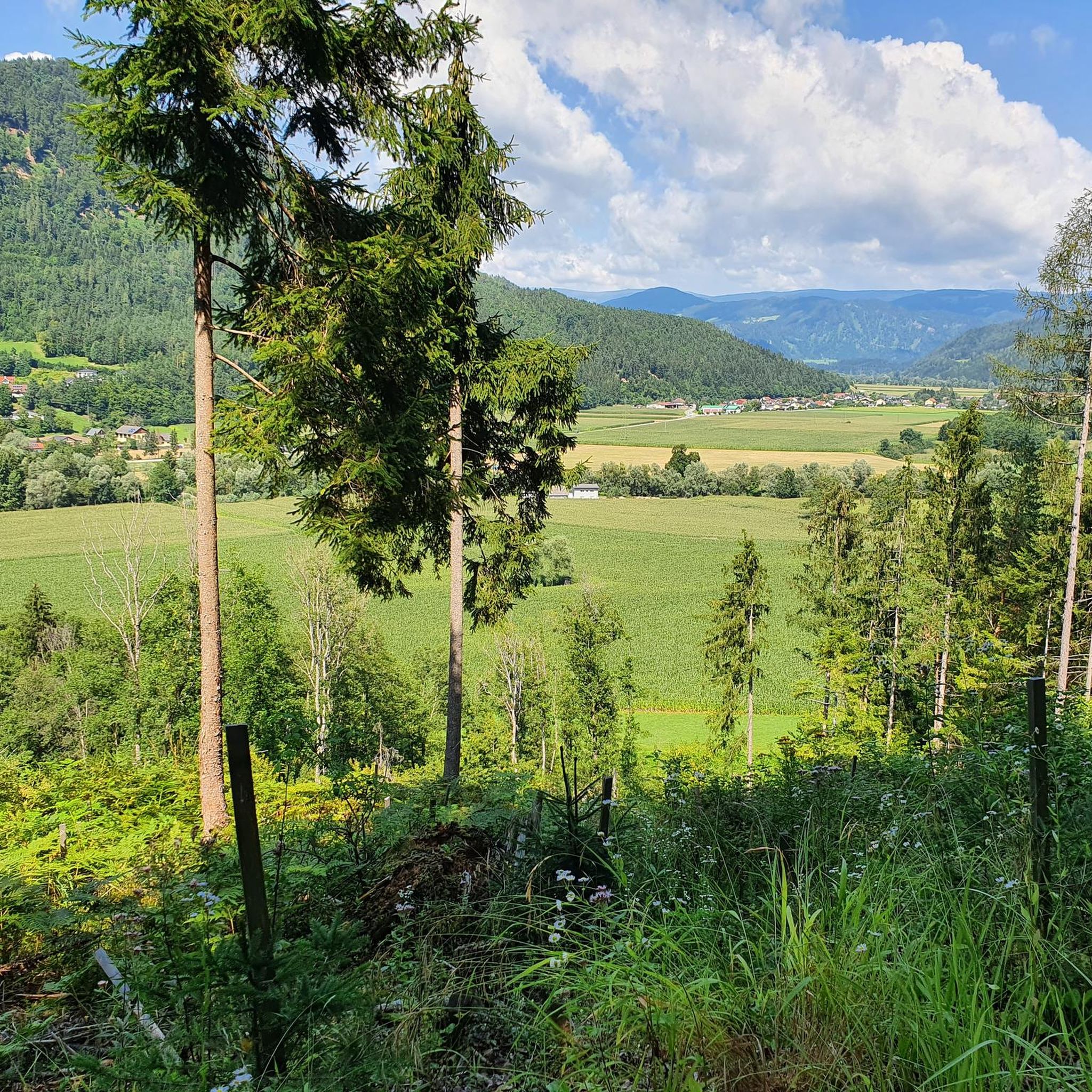
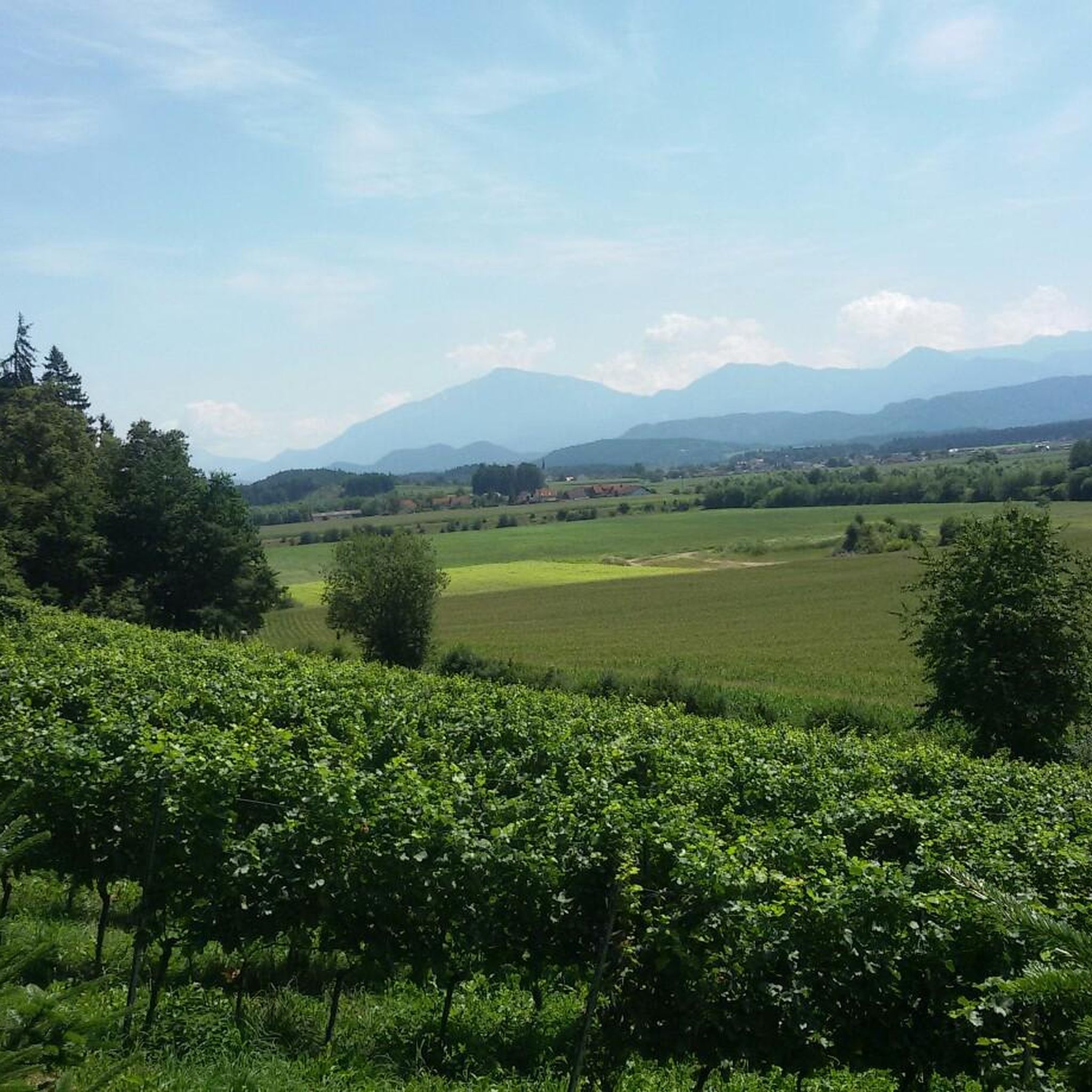
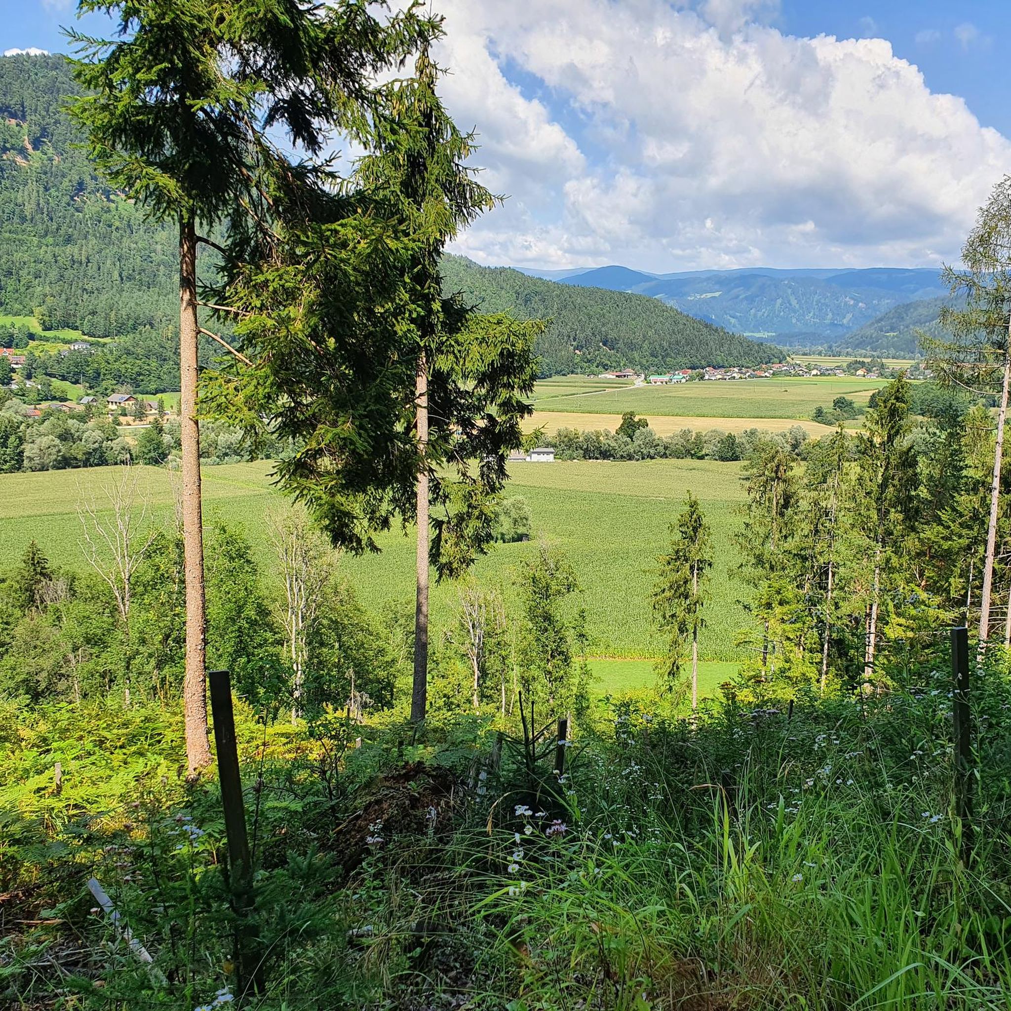
Terrace with magnificent views of the Carinthian Lake District.
1
0

The parish church of St. Filippen is located at Kirchenweg 39 in the village of St. Filippen in the market town of Brückl in the district of Sankt Veit an der Glan in Carinthia. Recorded between 1096 and 1105, it was consecrated in 1528. The late Gothic church was significantly remodeled in 1862, and the west tower was added.
0
0

…a nice excursion destination with a good guesthouse 😋
0
0

The Christofberg is 928 meters high and worth a visit. At the top there is a small pilgrimage church from the 15th century and the Zum Messner inn, where you can order cheese dumplings.
2
0

These are the best Kasnudln in Carinthia!
0
0
…a nice starting point for a hike up the Christofberg 🥾
1
0
Frequently Asked Questions
How many hiking trails are available around Poggersdorf?
Poggersdorf offers a wide variety of hiking experiences, with over 400 trails recorded. These include more than 200 easy routes, 185 moderate paths, and 15 more challenging hikes, catering to all fitness levels.
What is the best time of year to go hiking in Poggersdorf?
The best seasons for hiking in Poggersdorf are spring and autumn. During these times, the natural landscape is vibrant, the weather is pleasantly mild, and the trails are typically less crowded, offering ideal conditions for exploration.
Are there any family-friendly hiking options in Poggersdorf?
Yes, Poggersdorf is well-suited for families. The "Small Circular Trail" is particularly popular, winding through forests and past small streams and ponds, with playgrounds and resting areas. Other easy hikes like the "Border Post loop from Sankt Thomas" and the "Old Railway Bridge loop from Grafenstein" are also great for various fitness levels and typically take under two hours.
Are there any circular hiking routes in the area?
Many trails around Poggersdorf are circular, offering convenient loops. Notable examples include the St. Christoph Church – Magdalensberg Summit House loop from St. Christof, the St. Martin Church – St. Christoph Church loop from Pischeldorf, and the Magdalensberg Summit House – St. Christoph Church loop from Pischeldorf, which provide diverse experiences from moderate to difficult.
What kind of natural features or landmarks can I expect to see on the trails?
The region boasts diverse natural beauty, including dense forests, open meadows, and gentle streams. You can also discover specific natural monuments like Kleinsee or the Confluence of the Vellach and Drava Rivers. For a stunning viewpoint, consider the challenging hike to Pyramidenkogel, which rewards with panoramic views over Lake Wörthersee and the Alps.
Are there any waterfalls near Poggersdorf?
Yes, for those interested in waterfalls, the Ebenthal Waterfall is a notable natural monument in the vicinity of Poggersdorf that you can explore.
Can I find historical sites or castles along the hiking routes?
Absolutely. The area is rich in history. You can explore various castles such as Neudenstein Castle, Meiselberg Castle, or Annabichl Castle. The Magdalensberg area itself is historically significant, with routes like the St. Christoph Church – Lippekogel Summit and Cross loop from St. Christof passing through scenic and culturally rich landscapes.
What do other hikers enjoy most about hiking in Poggersdorf?
The hiking experiences in Poggersdorf are highly rated by the komoot community, with an average score of 4.6 stars from over 2,300 reviews. Hikers often praise the diverse terrain, from rolling hills and dense forests to open meadows, and the well-maintained trails that cater to various ability levels.
Are there any challenging hikes for experienced trekkers?
Yes, for those seeking a more strenuous experience, Poggersdorf offers several challenging routes. The Magdalensberg Summit House – St. Christoph Church loop from Pischeldorf is a difficult 24.4 km trail that takes about 7 hours 20 minutes. Additionally, the ascent to Pyramidenkogel is highly recommended for its demanding nature and rewarding panoramic views.
Are there opportunities for wild swimming or lakes to visit after a hike?
Yes, the region offers beautiful lakes for relaxation. The Three Lakes Hiking Trail allows you to discover Lake Maltschach, Lake Längsee, and Lake Keutschach, providing opportunities for swimming or picnicking by the shore. Kleinsee is another nearby lake that can be visited.
Is Poggersdorf accessible by public transport for hikers?
While specific public transport details for trailheads are not extensively covered, Poggersdorf is a well-connected village in Carinthia. For detailed information on public transport options to and from specific starting points, it's advisable to check local transport schedules or visit the Visit Carinthia website for general travel guidance to the region.
Are there any routes that offer views of the Drau River?
While primarily a cycling route, the Drau Cycle Path follows the Drava River and offers scenic views that can also be appreciated by walkers. This five-star long-distance route connects several countries and provides beautiful riverside landscapes near Poggersdorf.
Most popular attractions around Poggersdorf

Get inspired with the komoot mobile app


Explore more
Browse the best Hikes in other regions.
