The best walks and hikes around Pleckhausen
4.5
(5228)
16,986
hikers
832
hikes
Hiking around Pleckhausen offers a diverse landscape characterized by stream valleys, wooded hills, and rocky outcrops. The region features the Grenzbach Stream, providing a natural focal point for many routes. Hikers can expect varied terrain, from gentle paths alongside water to more challenging ascents leading to viewpoints.
Best hiking trails around Pleckhausen
- The most popular hiking route is Hölderstein via ferrata – Grenzbach Stream loop from Breitscheid, a 8.7 miles (14.0 km) trail that takes 4 hours 0 minutes…
Last updated: October 8, 2026
4.8
(8)
33
hikers
15.2km
04:16
300m
300m
Hard hike. Good fitness required. Sure-footedness, sturdy shoes and alpine experience required.
4.5
(34)
110
hikers
7.98km
02:12
130m
120m
Hard hike. Good fitness required. Sure-footedness, sturdy shoes and alpine experience required.

4.4
(22)
51
hikers
7.24km
02:00
130m
130m
Moderate hike. Good fitness required. Easily-accessible paths. Suitable for all skill levels.
4.7
(11)
29
hikers
3.56km
01:02
90m
90m
Hard hike. Great for any fitness level. Sure-footedness, sturdy shoes and alpine experience required.
4.7
(9)
20
hikers
6.07km
01:46
160m
160m
Hard hike. Great for any fitness level. Sure-footedness, sturdy shoes and alpine experience required.
Get access to more routes and recommendations from other explorers.
Already have an account?
Our route recommendations are based on thousands of hikes, rides, and runs completed by other people on komoot.
Start today with a free account
Your next adventure awaits.
Tips from the Community

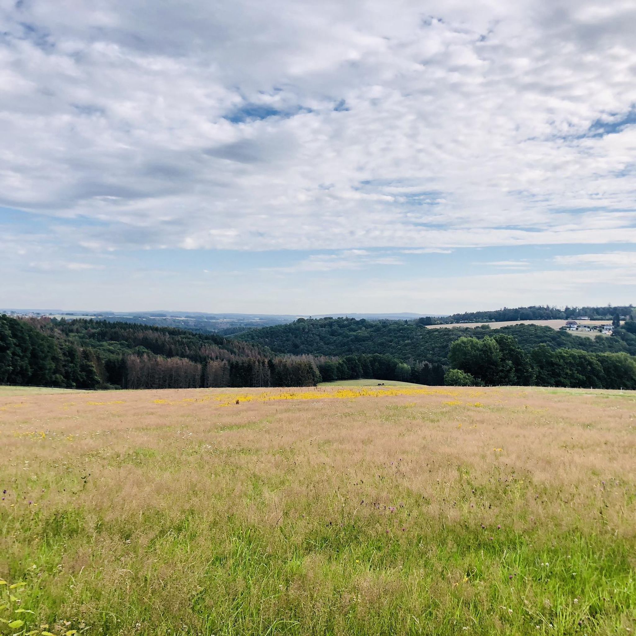
A very nature-oriented route in the beautiful Westerwald region.
0
0

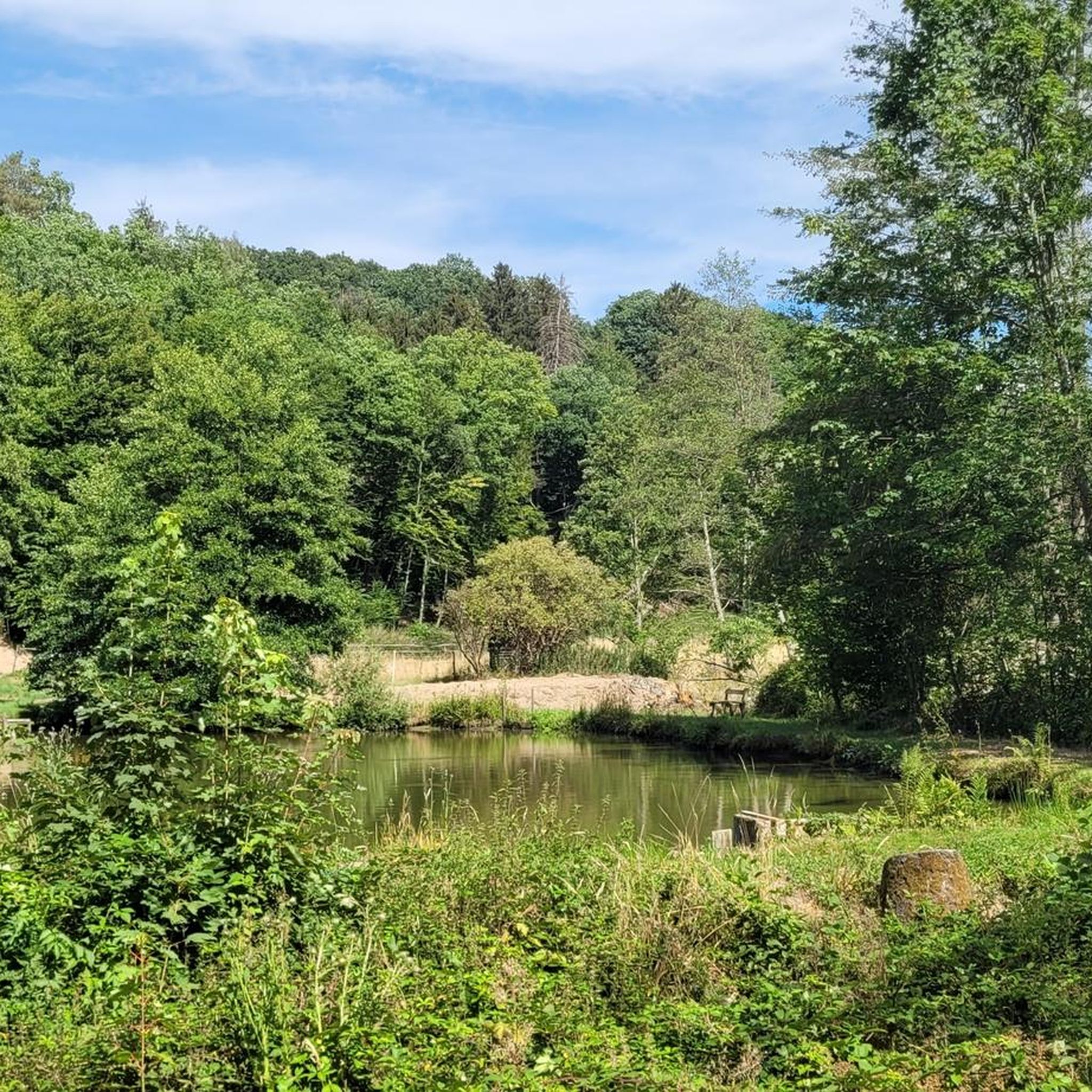
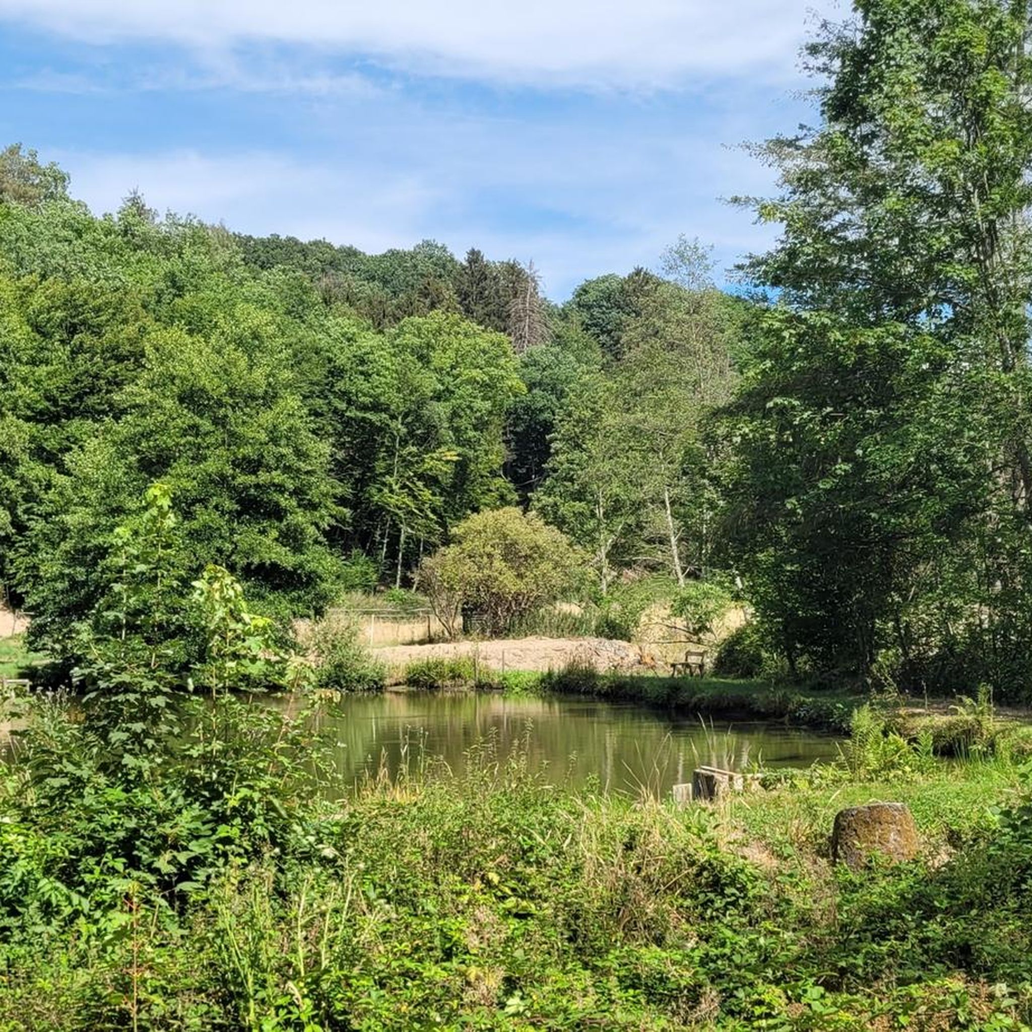
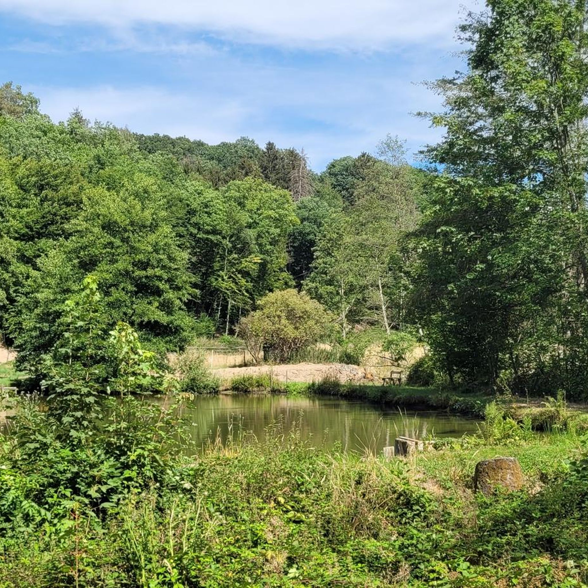
"The Grenzbach stream, originally called "Waldbach," forms the border between the districts of Altenkirchen and Neuwied. Extensive renaturation measures were carried out here a few years ago. Large-scale spruce clearing (13 hectares) was carried out to promote light and natural vegetation. New, animal-friendly stream crossings were created, stream piping and small weirs were removed, and new bridges were built. Galloway and Heck cattle graze the areas year-round, keeping them free from reforestation. The section between Willroth and Linkenbach is grazed by Galloways. Another section, between Pleckhausermühle and the Wied near Döttesfeld, is grazed by a backbred aurochs, the so-called Heck cattle. Valuable ecological structures and wetlands have since formed and provide a valuable refuge for fauna and flora..." FURTHER INFORMATION: https://www.hachenburger-westerwald.de/d/grenzbachtal-jr7k0ool/
0
0

Very nice small via ferrata, good for beginners
4
0

The old wooden steps have been largely replaced with alpine irons, making it easier to ascend and descend
0
0

Unfortunately the pump no longer works
0
0

A shelter with all kinds of useful information about the Grenzbach Valley.
0
0


It is the right tributary of the Holzbach (to the Wied near Döttesfeld) near Marienhausen, district of Neuwied, previously the municipal border with the town of Dierdorf.
3
0
Frequently Asked Questions
How many hiking trails are available around Pleckhausen?
Pleckhausen offers a wide variety of hiking experiences, with nearly 800 routes available. These range from easy strolls to challenging ascents, catering to all skill levels.
Are there easy hiking trails suitable for beginners in Pleckhausen?
Yes, Pleckhausen has over 460 easy hiking routes. These trails often feature gentle paths alongside the Grenzbach Stream or through wooded areas, perfect for those new to hiking or looking for a relaxed walk.
What kind of terrain can I expect on hikes around Pleckhausen?
The region around Pleckhausen is characterized by diverse terrain, including stream valleys, wooded hills, and rocky outcrops. You'll find everything from gentle paths to more challenging ascents, often with scenic views.
Are there any circular walks in Pleckhausen?
Many of the trails in Pleckhausen are designed as circular routes, allowing you to start and end at the same point. An example is the View of Grenzbachtal – Grenzbachtal near Horhausen loop from Horhausen, a moderate 4.6-mile path offering panoramic views of the valley. You can find more options by filtering for circular routes on komoot.
What are some interesting landmarks or attractions to see while hiking in Pleckhausen?
While hiking, you can explore several historical sites. Consider visiting the Ehrenstein Castle Ruins and Monastery or the impressive Walburg Castle. The region also features natural highlights like the Grenzbach Stream itself, which is a focal point for many routes.
Are there any trails with viewpoints in the Pleckhausen area?
Absolutely. Many routes in Pleckhausen lead to scenic viewpoints. For example, the View of Grenzbachtal – Grenzbachtal near Horhausen loop from Horhausen offers panoramic vistas of the Grenzbachtal valley. Another option is the shorter Grenzbach Stream – View from Hölderstein loop from Pleckhausen, which also provides great views.
What do other hikers enjoy most about the trails in Pleckhausen?
The hiking trails in Pleckhausen are highly rated by the komoot community, with an average score of 4.6 stars from over 4,400 reviews. Hikers frequently praise the diverse landscape, the beauty of the Grenzbach Stream, and the well-maintained paths that offer options for various skill levels.
Are there any challenging hikes for experienced hikers in Pleckhausen?
Yes, for experienced hikers, there are 52 difficult routes. A notable challenging option is the Hölderstein via ferrata – Grenzbach Stream loop from Breitscheid, a 8.7-mile trail that takes approximately 4 hours to complete and features demanding terrain.
Can I find trails that follow the Grenzbach Stream?
The Grenzbach Stream is a central feature of the Pleckhausen hiking region. Many routes, such as the Grenzbach Stream – Grenzbach loop from Breitscheid, closely follow the stream, offering picturesque waterside walks and a natural focal point for your hike.
Are there longer distance hikes available in Pleckhausen?
For those looking for longer excursions, Pleckhausen offers several routes over 10 km. The Bridge over the Wied – Grenzbach loop from Pleckhausen is a challenging 15.1 km trail that provides a substantial hiking experience through varied landscapes.
What is the best time of year to go hiking in Pleckhausen?
Pleckhausen offers enjoyable hiking throughout much of the year. Spring and autumn provide pleasant temperatures and vibrant scenery, while summer is ideal for longer days. Even in winter, some trails can be explored, though conditions may vary.
Most popular attractions around Pleckhausen

Get inspired with the komoot mobile app


Explore more
Browse the best Hikes in other regions.
