The best walks and hikes in Los Reales De Sierra Bermeja
4.4
(1006)
6,189
hikers
141
hikes
Hiking trails in Los Reales De Sierra Bermeja traverse a mountainous landscape characterized by its unique peridotite rock formations and the Pinsapar forest, home to rare Spanish firs. The region features varied terrain, from high peaks offering panoramic views to shaded forest paths. Elevations include the prominent Pico de los Reales, providing a challenging yet rewarding experience for hikers. This area offers a diverse environment for outdoor activities.
Best hiking trails in Los Reales De Sierra Bermeja
- The most popular…
Last updated: August 3, 2026
4.7
(10)
27
hikers
3.77km
01:17
180m
180m
Moderate hike. Great for any fitness level. Mostly accessible paths. Sure-footedness required.
3.7
(11)
27
hikers
12.3km
05:11
830m
830m
Hard hike. Very good fitness required. Sure-footedness, sturdy shoes and alpine experience required.

Sign up for free
4.6
(39)
170
hikers
10.1km
03:44
550m
550m
Moderate hike. Good fitness required. Mostly accessible paths. Sure-footedness required.
4.6
(20)
90
hikers
Moderate hike. Great for any fitness level. Mostly accessible paths. Sure-footedness required.
4.6
(23)
95
hikers
Moderate hike. Great for any fitness level. Mostly accessible paths. Sure-footedness required.
Get access to more routes and recommendations from other explorers.
Sign up for free
Already have an account?
Our route recommendations are based on thousands of hikes, rides, and runs completed by other people on komoot.
Start today with a free account
Your next adventure awaits.
Login or Signup

Tips from the Community

The pinsapo forest of Sierra Bermeja is very special, as it is the only one that grows on peridotite (non-calcareous) rocks. This species is a survivor of the Tertiary era and escaped the ice ages by taking refuge on these peaks. It only exists in a handful of mountain ranges in Málaga and Cádiz.
1
0

It's very windy up there. Take something warm with you. The view is breathtaking. With good visibility, you can see as far as Gibraltar and the Atlas Mountains.
0
0

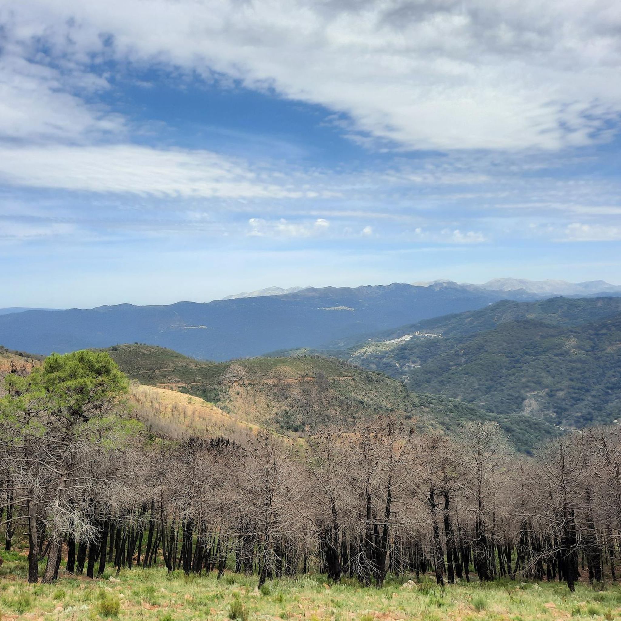
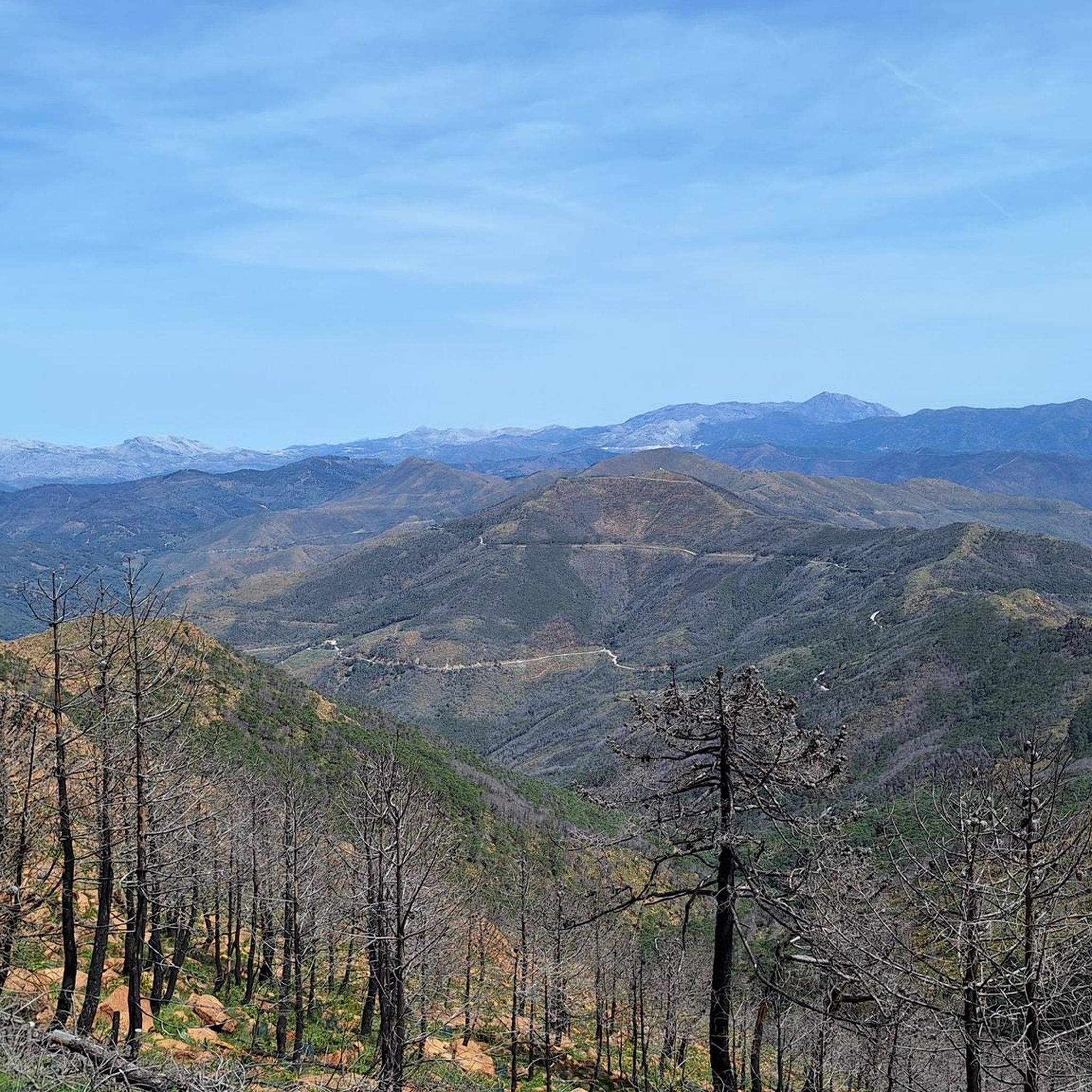
Great view to Gibraltar and Africa among others. Last climb to the top the path was sometimes difficult to follow because of many fallen burnt trees. So then keep in the direction of the visible transmission towers.
0
0

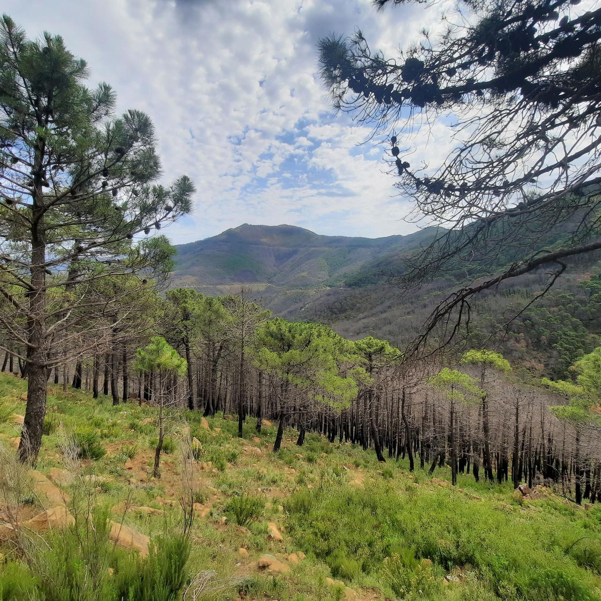
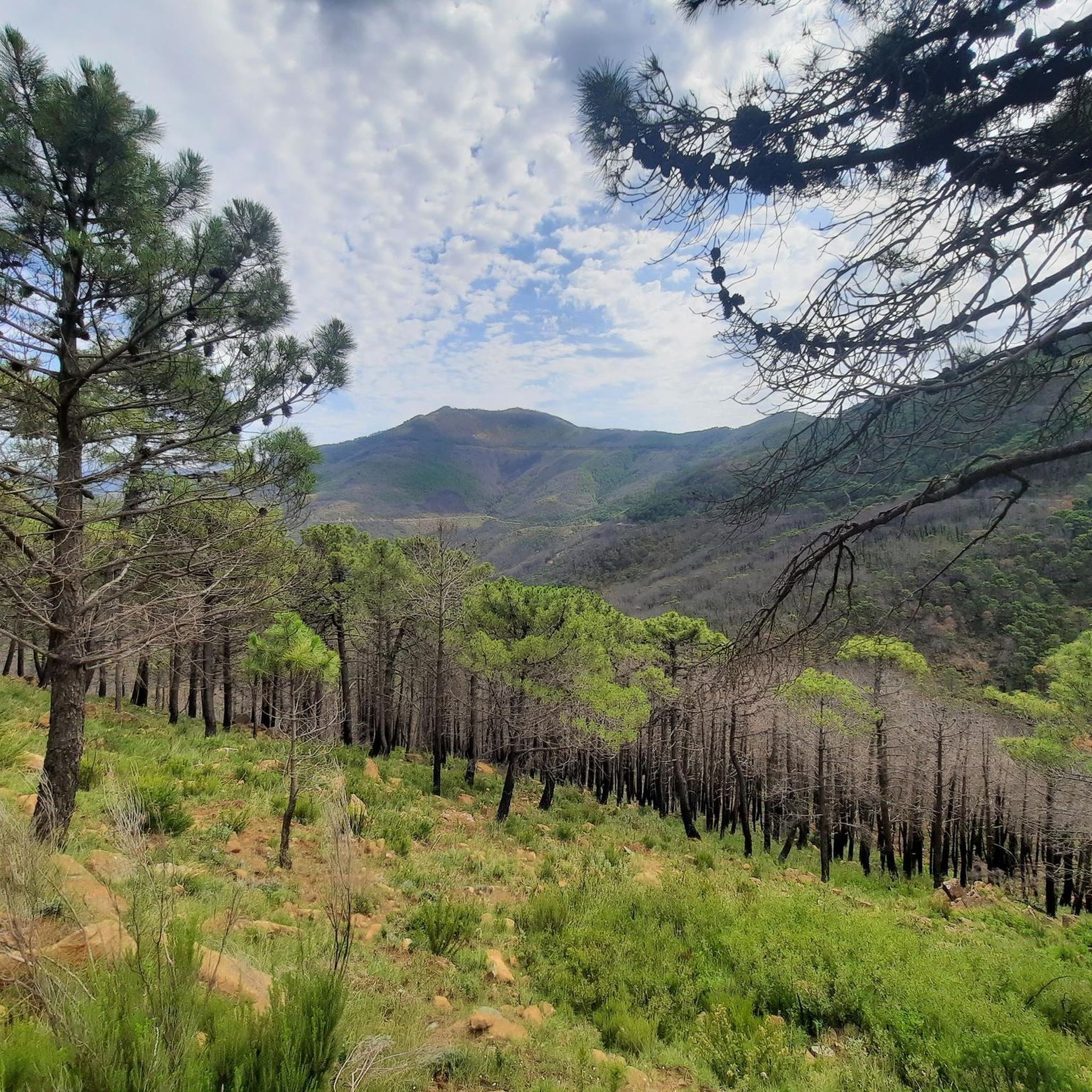
Today, December 3, 2024, this path is impassable following a forest fire. We tried to ascend 2.5 kilometers (in 2.5 hours, by clearing the path) before deciding to turn back, as we could no longer bypass the obstacles without taking big risks (falling stones, burnt trees galore). Nothing signals the disaster of the path before setting off on it!
3
0

The sunrise here on Pico Los Reales is indescribably beautiful 🌞💯
0
0
Start from the parking lot behind the Los Reales refuge. First, follow the green/white trail markers, then the cairns, and if you lose your orientation, always head towards the power poles. For those who want it easy, the closed road 150 m before the refuge is recommended, here you can go up comfortably, the great view comes at the end.😁
2
0
A brilliant view of the summit. I can only agree with the previous speaker here. After the forest fire, nature is currently recovering.
1
0

Very popular signposted walks between pine and fir forests along the Sierra Bermeja. It could be a challenge in some seasons.
1
0
Frequently Asked Questions
How many hiking trails are available in Los Reales De Sierra Bermeja?
Los Reales De Sierra Bermeja offers a wide variety of hiking experiences, with over 130 routes recorded on komoot. These range from easy strolls to challenging mountain ascents, catering to all fitness levels.
What are the typical difficulty levels for hikes in Los Reales De Sierra Bermeja?
The trails in Los Reales De Sierra Bermeja vary significantly in difficulty. You'll find 57 easy routes, 55 moderate trails, and 24 difficult options. For a challenging experience, consider the Pico de los Reales and Paseo de los Pinsapos Loop, which covers 7.6 miles (12.3 km) with substantial elevation gain.
Are there any easy or beginner-friendly hikes in the area?
Yes, there are plenty of easy hikes suitable for beginners. Over 50 routes are classified as easy, offering gentle terrain and shorter distances. These are perfect for those new to hiking or looking for a relaxed walk amidst nature.
Are there circular hiking routes in Los Reales De Sierra Bermeja?
Yes, many trails in Los Reales De Sierra Bermeja are designed as circular routes, allowing you to start and end at the same point. An example is the El Pinsapar Trail – Pico de los Reales — Summit View loop from Sierra Bermeja, which offers a comprehensive experience of the Pinsapar forest and summit views.
What kind of wildlife can I expect to see while hiking?
Los Reales De Sierra Bermeja is known for its unique ecosystem, particularly the Pinsapar forest. Keep an eye out for various bird species, and if you're lucky, you might spot some of the local mammals that inhabit this protected natural area.
Are there any family-friendly hiking options?
Absolutely. Many of the easier and moderate trails are suitable for families. Look for routes with shorter distances and less elevation gain. The unique peridotite rock formations and the ancient Pinsapar forest provide an engaging environment for children to explore.
Can I bring my dog on the trails in Los Reales De Sierra Bermeja?
Generally, dogs are permitted on trails in natural parks like Los Reales De Sierra Bermeja, but it's always recommended to keep them on a leash to protect local wildlife and ensure their safety, especially in areas with steep terrain or near protected flora like the Spanish firs.
What are the best times of year to hike in Los Reales De Sierra Bermeja?
The best times to hike are typically spring (April-May) and autumn (September-October) when temperatures are milder and the landscape is vibrant. Summer can be very hot, especially at midday, while winter offers cooler temperatures but can bring occasional snow to higher elevations.
What interesting landmarks or viewpoints can I find along the trails?
The region is rich in natural landmarks. You can visit the El Pinsapar Trail itself, which is a highlight, or reach the Pico de los Reales — Summit View for panoramic vistas. The Salvador Guerrero Viewpoint also offers stunning views of the surrounding landscape.
Is parking available near the trailheads?
Yes, there are designated parking areas at various access points to the trails within Los Reales De Sierra Bermeja. Specific parking information can often be found on individual route descriptions on komoot, such as for the Salvador Guerrero Viewpoint – Pico de los Reales — Summit View loop from SL-A 168 / PR-A 154.
What do other hikers enjoy most about Los Reales De Sierra Bermeja?
The area is highly rated by the komoot community, with an average score of 4.4 stars from over 900 reviews. Reviewers often praise the unique peridotite rock formations, the serene beauty of the Pinsapar forest, and the rewarding panoramic views from peaks like Pico de los Reales.
Are there any permits required for hiking in Los Reales De Sierra Bermeja?
Generally, no specific permits are required for day hiking on the established trails in Los Reales De Sierra Bermeja. However, it's always advisable to check local regulations, especially if planning off-trail excursions or overnight stays.
Most popular routes in Los Reales De Sierra Bermeja
Most popular attractions in Los Reales De Sierra Bermeja

Get inspired with the komoot mobile app


Explore more
Browse the best Hikes in other regions.
