The best running trails in Sierras De Abdalajis Y La Encantada Sur
4.6
(12)
371
runners
36
runs
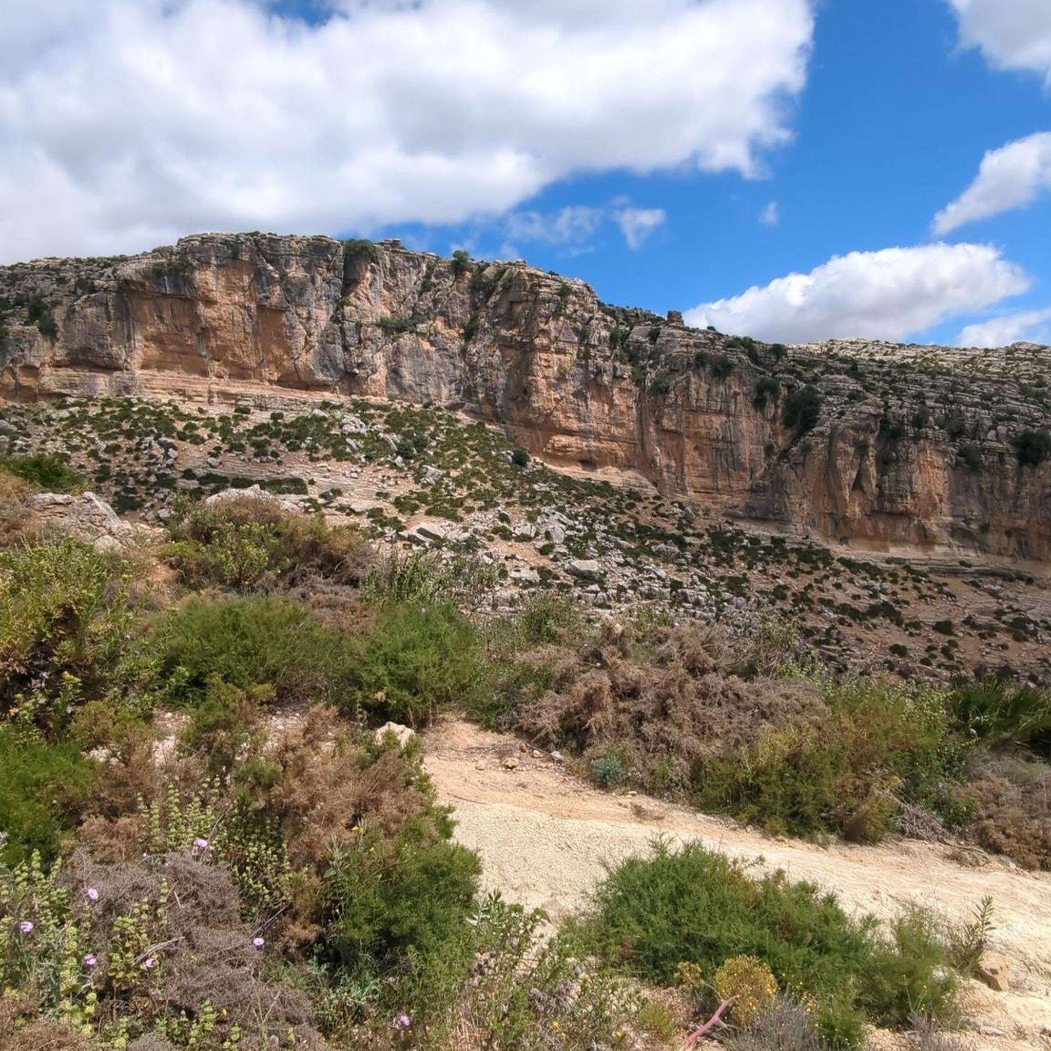
Jogging in Sierras De Abdalajis Y La Encantada Sur offers a challenging experience across a rugged, mountainous landscape in Málaga, Spain. The region is characterized by dramatic elevation changes, deep valleys, and significant karstic formations such as lapiaces and sinkholes. Its terrain, formed from ancient marine sediments, provides a diverse network of trails suitable for running. This area is also part of the Intercontinental Biosphere Reserve of the Mediterranean Andalusia-Morocco, highlighting its natural significance.
Best jogging routes in Sierras De…
Last updated: May 23, 2026
41
runners
23.4km
03:49
1,600m
1,600m
Hard run. Very good fitness required. Sure-footedness, sturdy shoes and alpine experience required.
5.0
(1)
23
runners
6.12km
00:46
140m
140m
Hard run. Good fitness required. Sure-footedness, sturdy shoes and alpine experience required.

Sign up for free
21
runners
13.2km
01:48
460m
460m
Hard run. Very good fitness required. Sure-footedness, sturdy shoes and alpine experience required.
19
runners
Hard run. Very good fitness required. Sure-footedness, sturdy shoes and alpine experience required.
15
runners
14.5km
02:01
550m
550m
Hard run. Very good fitness required. Sure-footedness, sturdy shoes and alpine experience required.
Get access to more routes and recommendations from other explorers.
Sign up for free
Already have an account?
Our route recommendations are based on thousands of hikes, rides, and runs completed by other people on komoot.
Start today with a free account
Your next adventure awaits.
Login or Signup
Popular around Sierras De Abdalajis Y La Encantada Sur

Hike between sea and mountains — Gran Senda de Málaga (GR 249)
Seven days walking along the Gran Senda de Málaga (GR 249)
Cycling in Sierras De Abdalajis Y La Encantada Sur
Road Cycling Routes in Sierras De Abdalajis Y La Encantada Sur
MTB Trails in Sierras De Abdalajis Y La Encantada Sur
Hiking in Sierras De Abdalajis Y La Encantada Sur

Gravel biking in Sierras De Abdalajis Y La Encantada Sur
Other adventures in Sierras De Abdalajis Y La Encantada Sur

Tips from the Community

From here, you may only proceed with a helmet, which is distributed beforehand along with a hairnet. As access is limited, be sure to reserve in advance.
2
0
Well-lit tunnel as a shortcut to the start of the Caminito del Rey. A bit low for people 1.90m and taller, otherwise another highlight around the Caminito del Rey. The tunnel is approx. 500m long and you can see the end of the tunnel right from the beginning.
3
0

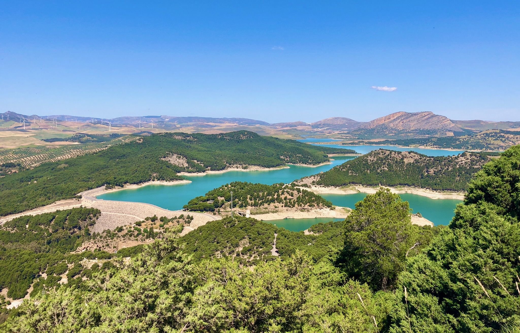
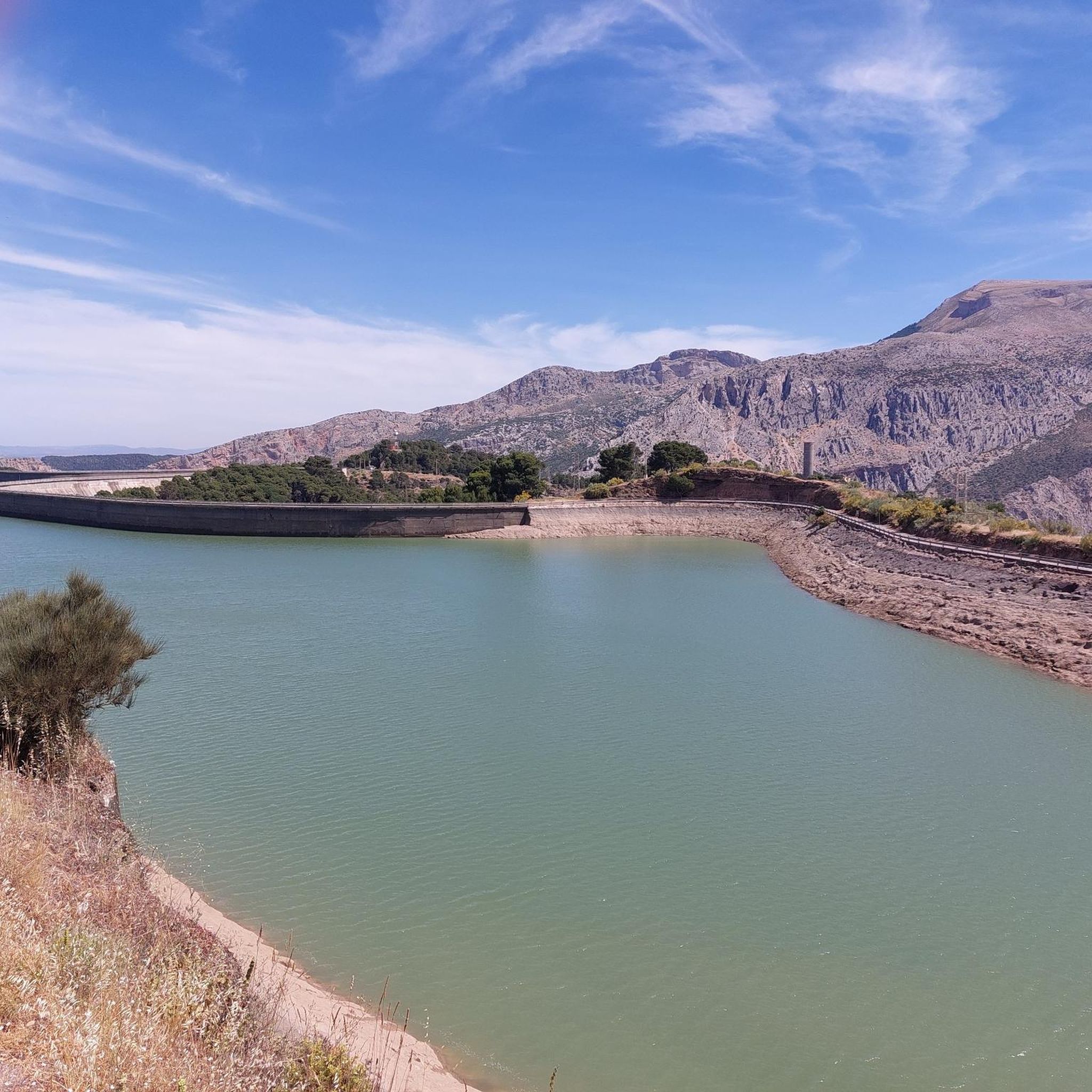
The Conde de Guadalhorce reservoir is nestled in a picturesque mountain landscape near El Chorro and impresses with turquoise water, steep rock faces and tranquil nature, making it a particularly idyllic destination for tours.
0
0

Arabian Stairs: The name is misleading. The stairs are not historical, but probably no more than 100 years old, and serve to avoid a massive detour over the later saddle. They were presumably built to facilitate other projects in the region behind the mountain. A local guide reported that the pine forests at the beginning of the tour used to be villages. You can see ruins and threshing floors. During the Franco dictatorship, the villages were destroyed, the inhabitants relocated, and the pines were planted to prevent their return (formerly grain fields): subsistence farmers were difficult to control, and workers were needed for industry.
2
0

It is the beginning of the gorge
0
0
It's amazing what has been created here
0
1

Construction site again
1
0
Frequently Asked Questions
How many running routes are available in Sierras De Abdalajís y La Encantada Sur?
There are over 35 dedicated running routes in Sierras De Abdalajís y La Encantada Sur, offering a wide range of experiences for trail runners. The majority of these routes are classified as moderate to difficult, reflecting the region's mountainous terrain.
What kind of terrain can I expect when running in this region?
The region is characterized by a rugged, mountainous landscape with dramatic elevation changes, deep valleys, and significant karstic formations like lapiaces and sinkholes. You'll encounter trails winding through ancient marine sediments, offering a challenging and diverse experience for trail running.
Are there any easy or beginner-friendly running routes?
While the region is known for its challenging terrain, with most routes classified as difficult, some options are less strenuous. For example, the Caminito del Rey loop from Pantano del Chorro is a shorter 3.8-mile (6.1 km) trail that offers a less demanding experience around the reservoir, though it is still rated as difficult due to some technical sections.
What do other runners say about the trails in Sierras De Abdalajís y La Encantada Sur?
The running routes in Sierras De Abdalajís y La Encantada Sur are highly rated by the komoot community, with an average score of 4.6 stars from over 10 reviews. Nearly 400 runners have used komoot to explore this varied terrain, often praising the challenging ascents and spectacular views.
Are there any circular running routes available?
Yes, many routes in the region are designed as loops. A notable example is the El Chorro Gorge – Arabic Steps loop from El Chorro-Caminito del Rey, a demanding 12.9-mile (20.7 km) trail that offers a complete circuit through dramatic landscapes.
Can I find long-distance running options in the area?
Absolutely. The region is traversed by several long-distance trails, including sections of the GR7/European E4 path, the Great Málaga Path (GR 249), and the Route of the Almoravids and Almohads. These offer challenging and extended options for experienced trail runners looking for multi-day or very long runs.
What are some interesting sights or landmarks I can see along the running routes?
The routes offer spectacular views and access to unique landmarks. You can enjoy views of the Suspension Bridge on the Caminito del Rey, explore the Geological Point of Interest: Bobastro, or discover the Mozarabic Ruins of Bobastro. The Tajo de los Cabritos is another prominent natural feature you might encounter.
Is there public transport access to the running trailheads?
The region has some public transport options, particularly to key hubs like El Chorro Station, which serves as a starting point for several popular routes. It's advisable to check local bus or train schedules for specific access points to your chosen trail.
Where can I park my car when accessing the running trails?
Parking is generally available near popular trailheads and visitor centers, especially around areas like El Chorro and the Caminito del Rey. Specific parking availability can vary, so it's recommended to check details for your chosen starting point in advance.
What is the best time of year for running in Sierras De Abdalajís y La Encantada Sur?
The spring and autumn months typically offer the most pleasant conditions for running, with milder temperatures. Summers can be very hot, making early morning or late afternoon runs preferable. Winters are generally mild but can bring cooler temperatures and occasional rain, especially at higher elevations.
Are there any viewpoints along the running routes?
Yes, many routes provide spectacular views. You can find breathtaking vistas over the Guadalhorce valley and the urban center of El Chorro Station. The Las Mesas de Villaverde Viewpoint is one such spot offering expansive panoramas.
Are there any cafes or restaurants near the running trails?
You'll find amenities like cafes and restaurants in the villages and towns surrounding the sierras, such as El Chorro. These can be convenient for refreshments before or after your run, especially near popular starting points for trails.
Most popular routes in Sierras De Abdalajis Y La Encantada Sur
Most popular attractions in Sierras De Abdalajis Y La Encantada Sur

Get inspired with the komoot mobile app


Explore more
Browse the best Running Trails & Routes in other regions.
