The best walks and hikes in La Breña Y Marismas Del Barbate
4.6
(834)
4,376
hikers
43
hikes
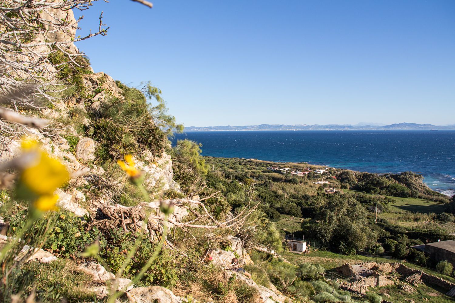
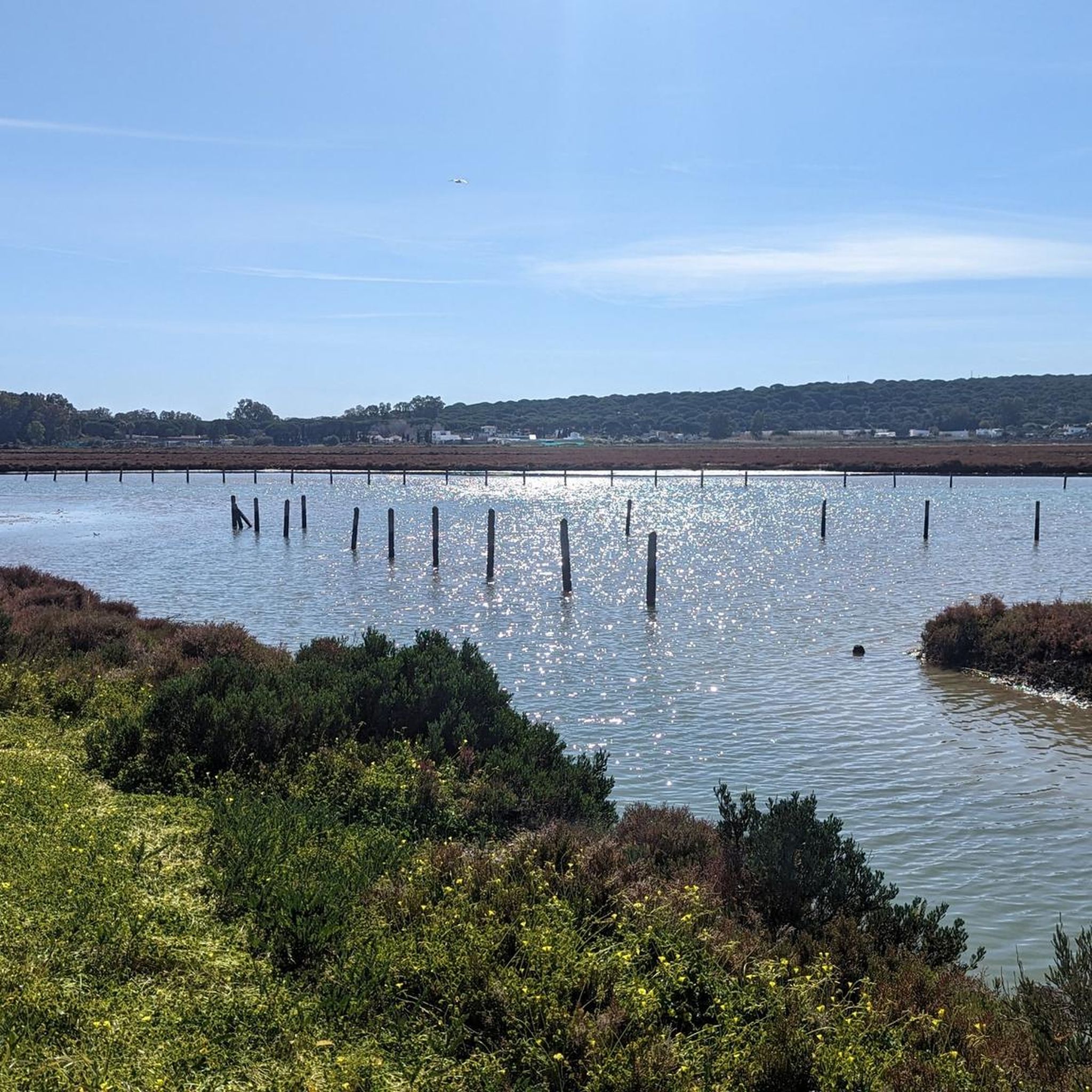
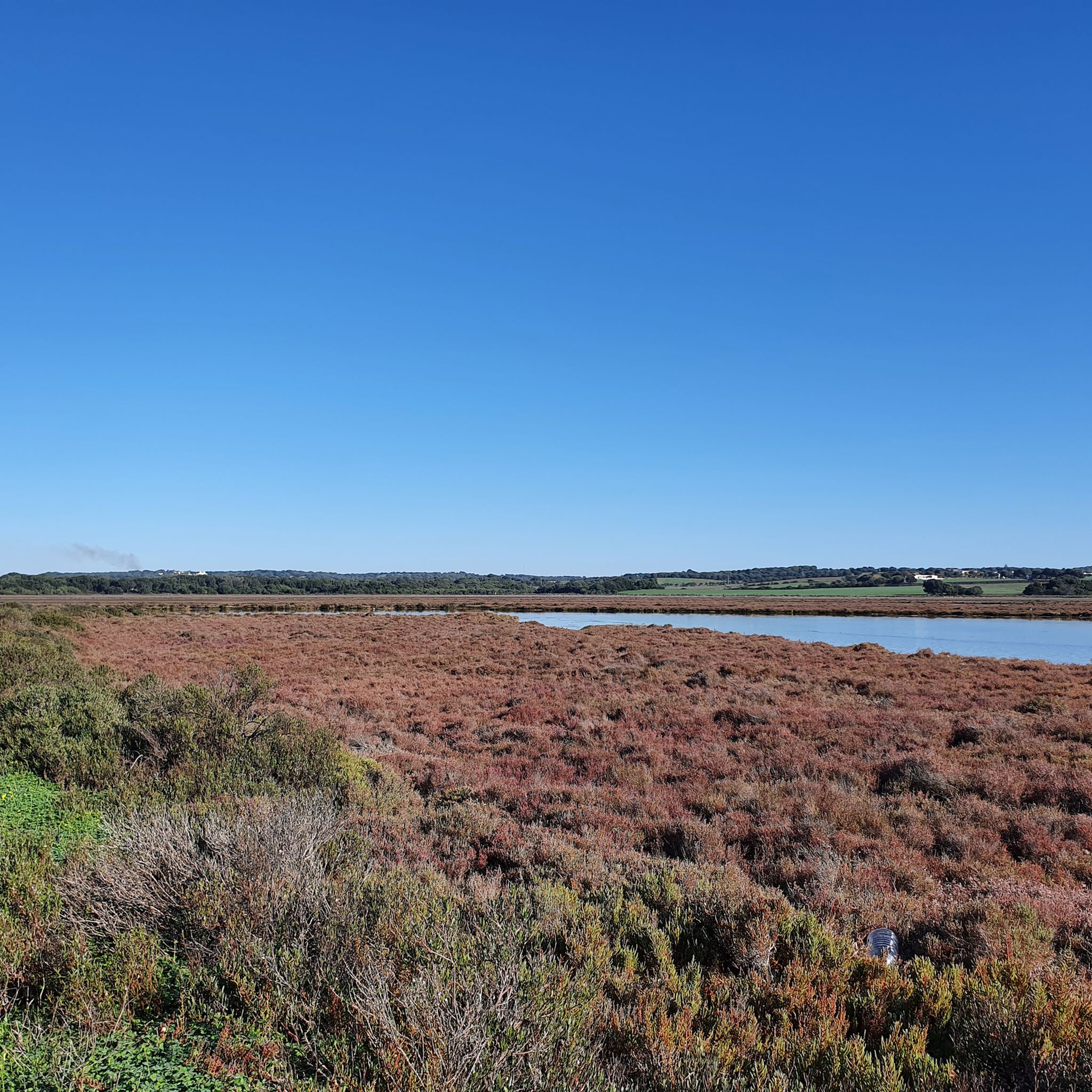
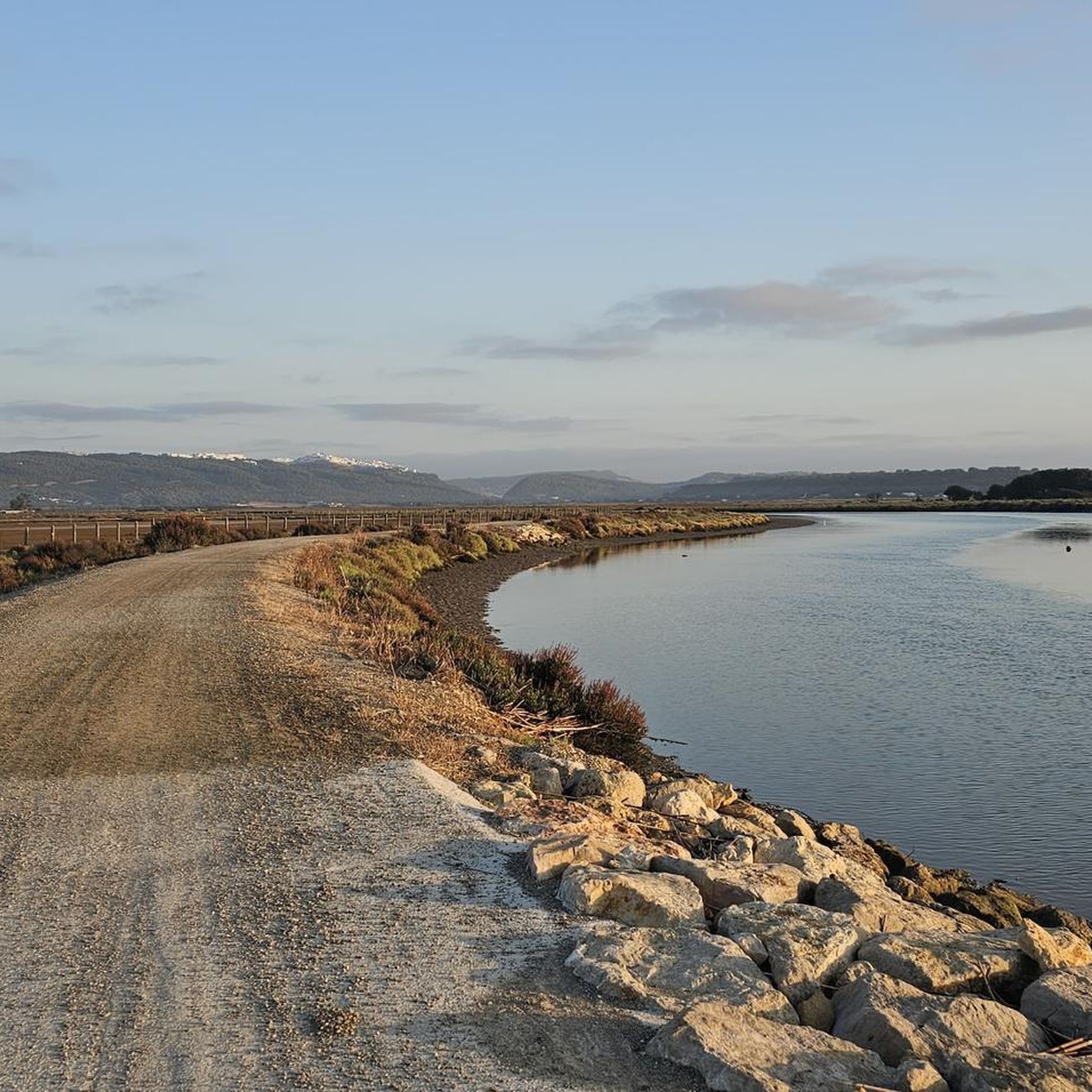
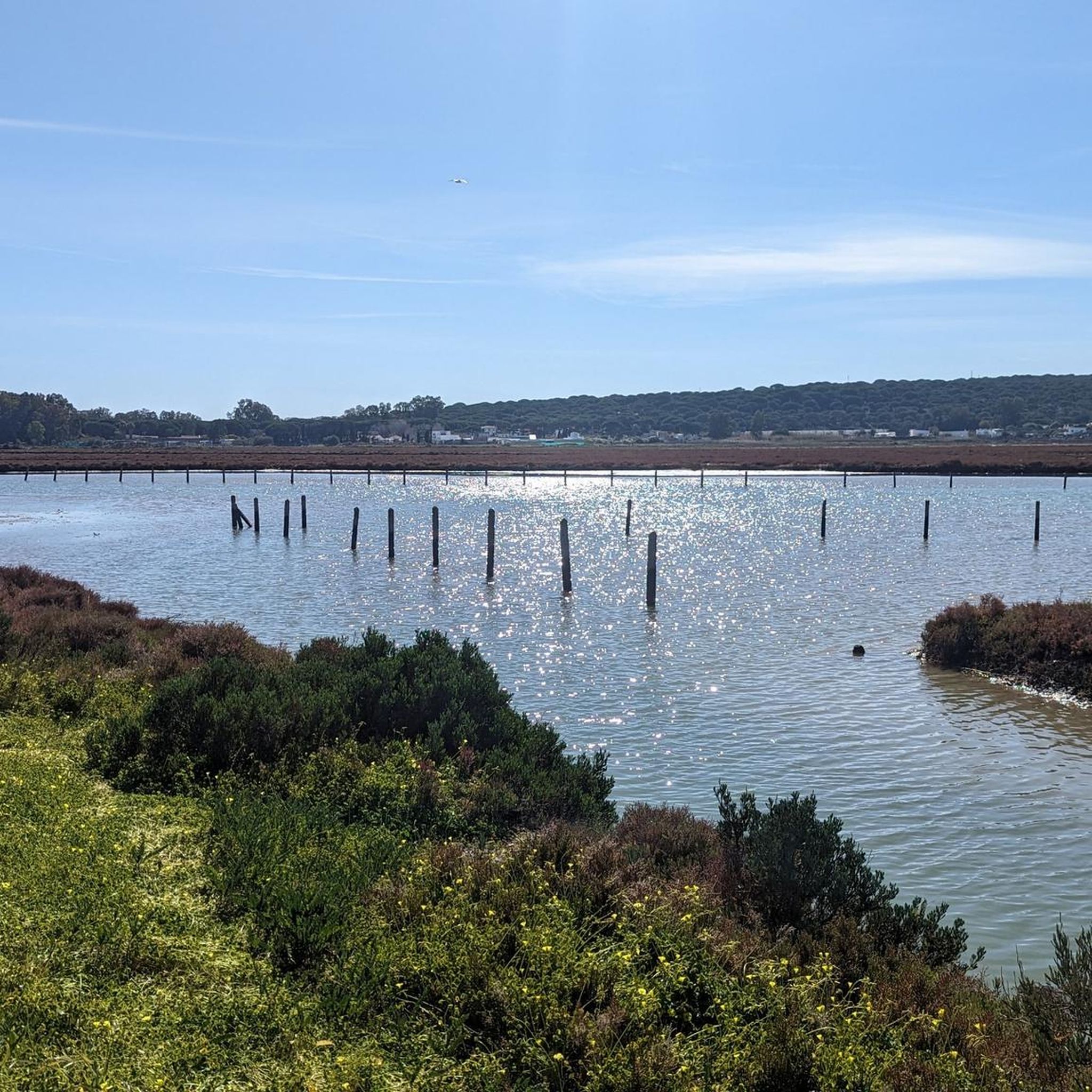
Hiking in La Breña Y Marismas Del Barbate offers diverse landscapes, from dramatic Atlantic cliffs plunging into the ocean to extensive pine forests and vital marshlands. The region is characterized by its unique blend of coastal and forest ecosystems, including ancient dune systems and pristine beaches. These varied features provide a rich environment for outdoor activities, with trails winding through different natural habitats.
Best hiking trails in La Breña Y Marismas Del Barbate
- The most popular hiking route is El Acantilado Loop Trail, a 11.7 miles (18.8 km) difficult trail that takes 5 hours 6 minutes to complete. This route offers expansive views from the cliff tops.
- Another top favourite among local hikers is Benches With View of the Coast – View of the Barbate Cliffs loop from Bunker de la Breña, a moderate 6.9 miles (11.2 km) path. This trail provides panoramic coastal vistas and passes through varied terrain.
- Local hikers also love the Tajo Tower – View of the Barbate Cliffs loop from Chorro de Alberto, a 3.5 miles (5.6 km) trail leading through coastal pine forests and along cliff edges, often completed in about 1 hour 33 minutes.
- Hiking in La Breña Y Marismas Del Barbate is defined by dramatic Atlantic cliffs, dense pine forests, and vital marshlands. The network offers options for different ability levels, from easy coastal walks to more challenging loops.
- The routes in La Breña Y Marismas Del Barbate are highly rated by the komoot community with an average score of 4.7 stars from over 600 reviews. More than 3000 hikers have used komoot to explore La Breña Y Marismas Del Barbate's varied terrain.
Last updated: May 10, 2026
4.8
(18)
76
hikers
18.8km
05:06
270m
270m
Hard hike. Very good fitness required. Easily-accessible paths. Suitable for all skill levels.
4.8
(98)
545
hikers
Moderate hike. Good fitness required. Easily-accessible paths. Suitable for all skill levels.

Sign up for free
4.7
(81)
321
hikers
5.95km
01:40
120m
120m
Easy hike. Great for any fitness level. Easily-accessible paths. Suitable for all skill levels.
4.6
(56)
250
hikers
7.73km
02:13
180m
180m
Moderate hike. Good fitness required. Easily-accessible paths. Suitable for all skill levels.
3.7
(3)
17
hikers
Moderate hike. Good fitness required. Easily-accessible paths. Suitable for all skill levels.
Get access to more routes and recommendations from other explorers.
Sign up for free
Already have an account?
Our route recommendations are based on thousands of hikes, rides, and runs completed by other people on komoot.
Start today with a free account
Your next adventure awaits.
Login or Signup
Popular around La Breña Y Marismas Del Barbate

Other adventures in La Breña Y Marismas Del Barbate

Tips from the Community


Caution: Do not step too close to the edge of the rock.
0
0

Free parking (as of September 2025) and if you're lucky, until after lunchtime, partly in the shade of large pine trees (after entering the parking lot, on the left at the very end)
1
0

The trail leads from Playa de la Yerbabuena over the spectacular cliffs of Barbate to Los Caños de Meca. About halfway along the trail, you'll find the old watchtower, Torre del Tajo, offering magnificent views of the cliffs and the sea. The rock of the vertical cliffs, shaped by wind and water, is porous and interspersed with aquifers, known as caños, from which freshwater drips from the rocks at various points.
0
1

The tower can be visited, I think it starts at ten in the morning, and you can take beautiful photos.
1
0

What I liked about this path is that it was flat, so no big climbs and harder in surface, so easier to walk. And it makes you feel really being far from civilization, because you only see nature as far as your eyes can see. Absolutely beautiful.
0
0

It is worth walking along the parapets of the cliff edge and looking in all directions.
1
0

View of Cabo de Trafalgar
0
0
Frequently Asked Questions
How many hiking trails are available in La Breña y Marismas del Barbate?
La Breña y Marismas del Barbate offers a wide range of hiking opportunities, with over 40 trails to explore. These routes cater to various fitness levels, from easy strolls to more challenging treks.
What makes hiking in La Breña y Marismas del Barbate unique?
The park's uniqueness stems from its dramatic blend of ecosystems. Hikers can experience impressive Atlantic cliffs, extensive pine forests, vital marshlands, and beautiful beaches, all within a relatively compact area. This diversity provides a constantly changing and captivating hiking experience.
What do other hikers enjoy most about the trails in La Breña y Marismas del Barbate?
The trails in La Breña y Marismas del Barbate are highly rated by the komoot community, with an average score of 4.7 stars from over 600 reviews. Hikers often praise the breathtaking panoramic views from the cliff tops, the serene pine forests, and the rich biodiversity, especially the birdwatching opportunities in the marshlands.
Are there easy hiking trails suitable for beginners in the park?
Yes, the park offers 10 easy hiking trails perfect for beginners or those looking for a relaxed walk. A good option is the Tajo Tower – View of the Barbate Cliffs loop from Chorro de Alberto, which is 3.5 miles (5.6 km) and leads through coastal pine forests and along cliff edges.
Can I find circular hiking routes in La Breña y Marismas del Barbate?
Yes, many of the trails in La Breña y Marismas del Barbate are circular, allowing you to start and end at the same point. For example, the Benches With View of the Coast – View of the Barbate Cliffs loop from Bunker de la Breña is a popular moderate circular route offering panoramic coastal vistas.
Are there any notable landmarks or viewpoints to see while hiking?
Absolutely. A prominent landmark is the 16th-century Tajo Tower, situated along the cliff tops and offering excellent vantage points over the coastline. The Los Caños de Meca Cliff Trail and Barbate Cliff Trail also provide spectacular views of the dramatic cliffs plunging into the Atlantic.
What kind of wildlife can I expect to see in La Breña y Marismas del Barbate?
The park is a haven for wildlife. In the marshlands, you can observe numerous waterfowl, including migratory and wintering birds. The cliffs are home to species like peregrine falcons and yellow-legged gulls. Otters have also been recorded in the area, and the diverse flora includes rosemary, European dwarf fan palm, and Phoenician junipers.
Is La Breña y Marismas del Barbate suitable for family hikes?
Yes, the park offers several accessible and well-maintained paths suitable for families. Many trails are relatively easy and provide engaging natural surroundings, such as the pine forests and coastal views, making them enjoyable for all ages. Consider the shorter, less strenuous routes for family outings.
Are dogs allowed on the hiking trails in La Breña y Marismas del Barbate?
While the park is a natural area, specific regulations regarding dogs can vary. It's generally advisable to keep dogs on a leash to protect wildlife and ensure a pleasant experience for all visitors. Always check local signage or park guidelines for the most current information on pet policies.
What is the best time of year to go hiking in La Breña y Marismas del Barbate?
The best time to visit for hiking is typically during the spring (March to May) and autumn (September to November) when temperatures are milder and the natural landscape is vibrant. Summers can be hot, especially for longer hikes, while winters are generally mild but can bring more rainfall.
Are there any challenging routes for experienced hikers?
Yes, for experienced hikers seeking a challenge, the park offers 4 difficult trails. The El Acantilado Loop Trail is a notable example, spanning 11.7 miles (18.8 km) and taking over 5 hours to complete, offering expansive views from the cliff tops.
Where can I park when visiting the hiking trails?
Parking is generally available at various access points to the trails, particularly near popular starting locations or recreational areas. It's recommended to check specific route descriptions on komoot for details on parking facilities closest to your chosen trailhead.
Most popular routes in La Breña Y Marismas Del Barbate
Most popular attractions in La Breña Y Marismas Del Barbate

Get inspired with the komoot mobile app


Explore more
Browse the best Hikes in other regions.
