The best walks and hikes around Pfofeld
4.4
(1343)
6,098
hikers
80
hikes
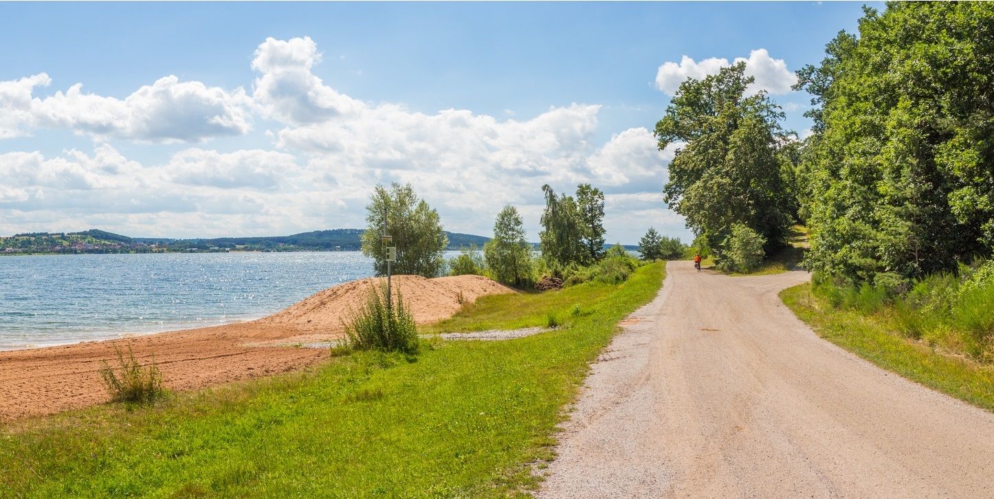
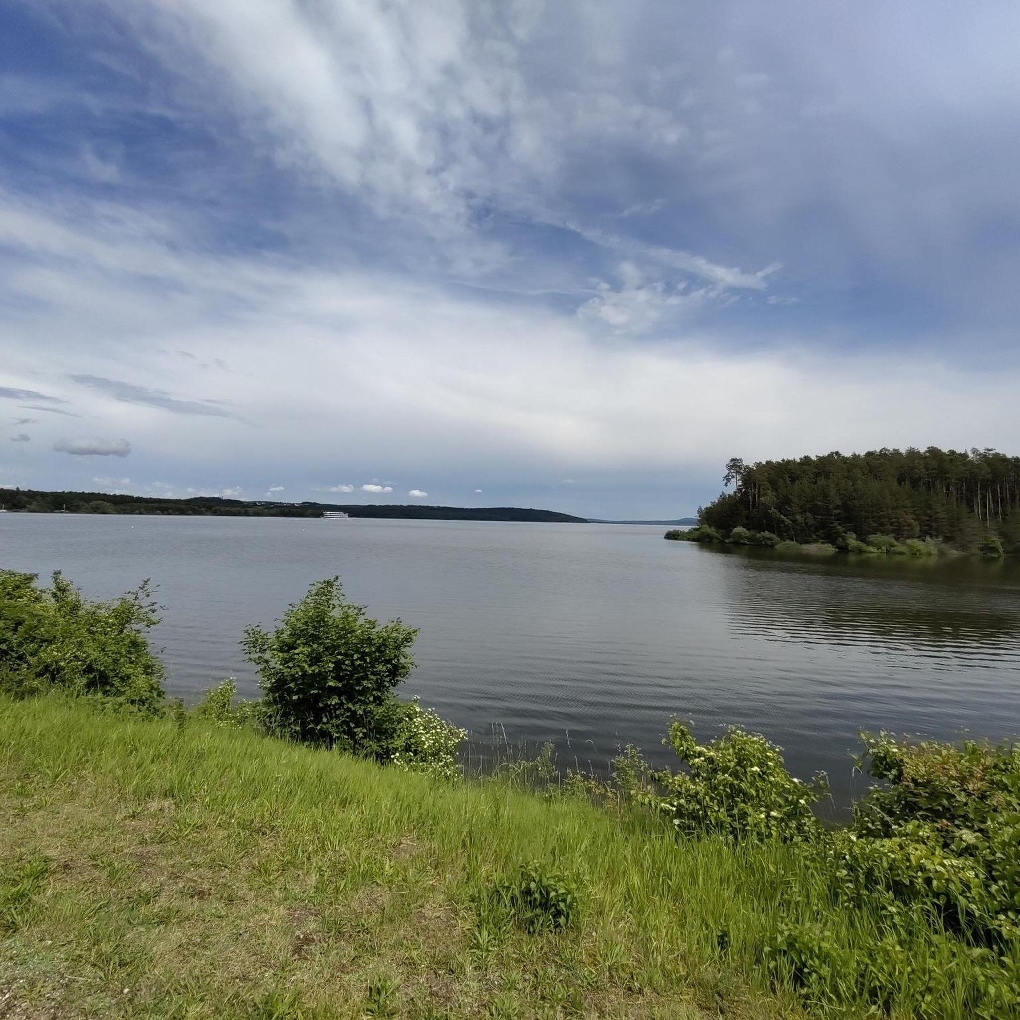
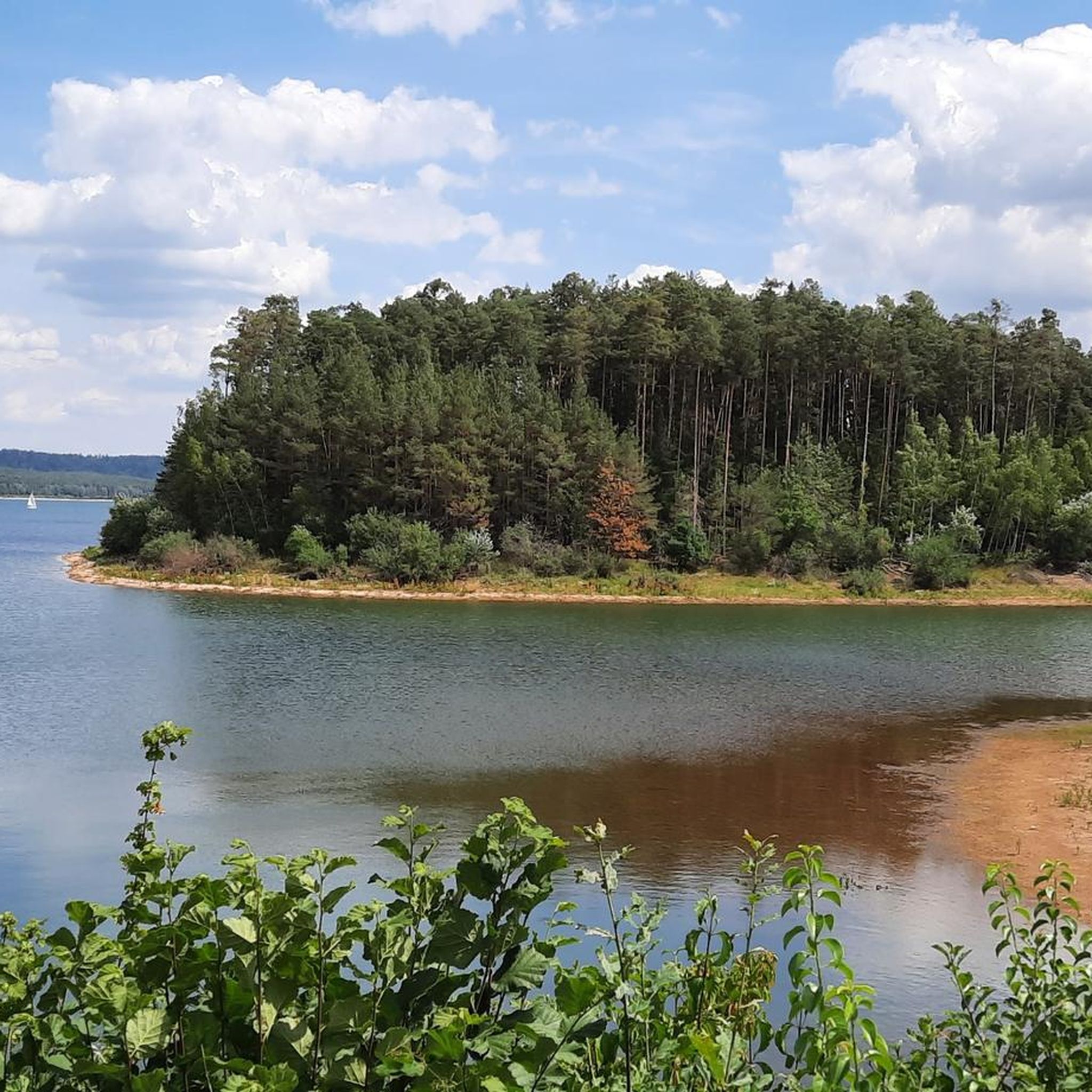
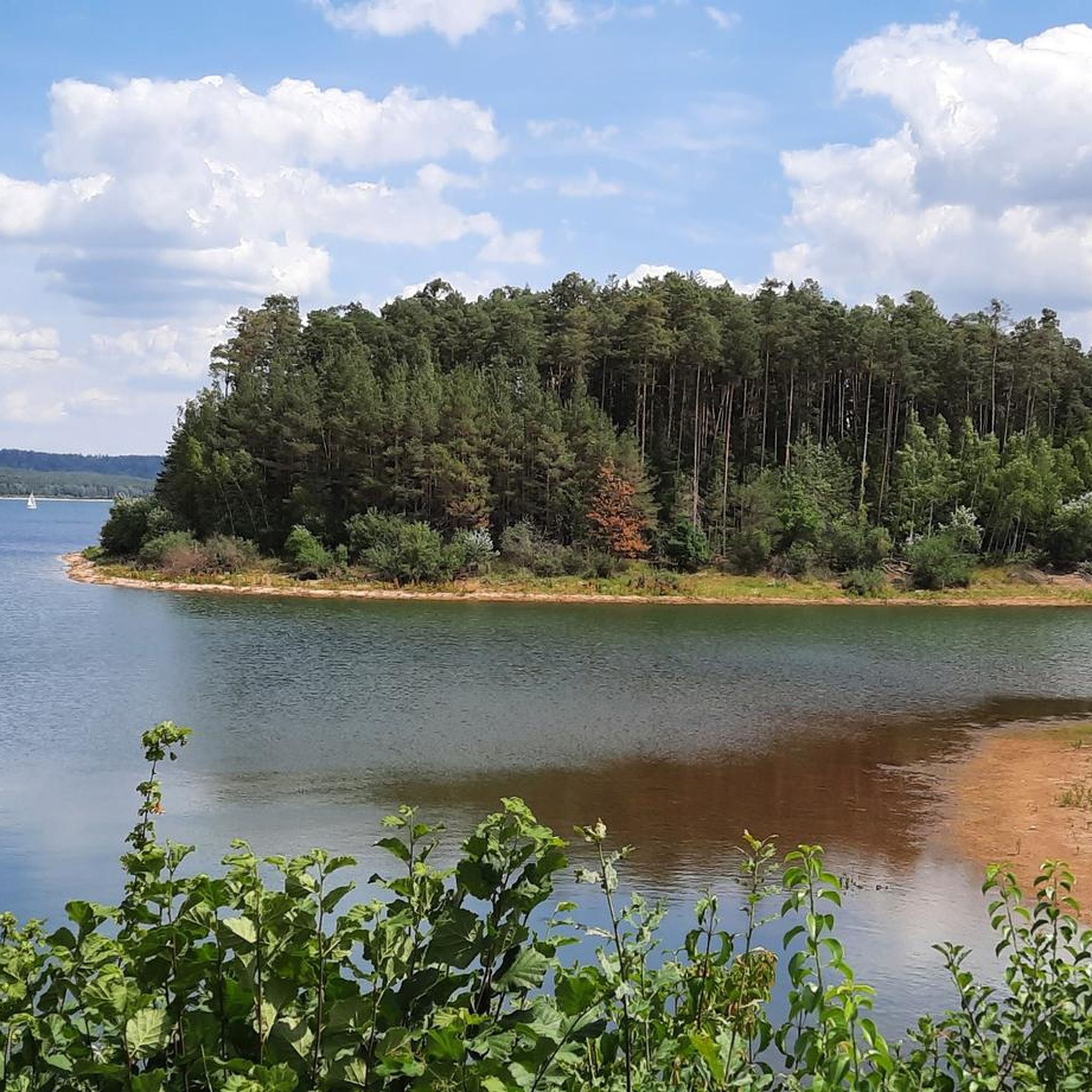
Hiking around Pfofeld offers access to the Franconian Lake District, situated between the Altmühlsee and Brombachsee. The region is characterized by diverse terrain, including waterside paths, woodlands, and open landscapes. Hikers can explore historically significant sites such as the Upper German-Rhaetian Limes and Roman villa remains. These natural features provide varied experiences for outdoor enthusiasts.
Best hiking trails around Pfofeld
- The most popular hiking route is Little Brombach Lake – Igelsbachsee Dam loop from Langlau, a 14.8 miles (23.8…
Last updated: May 24, 2026
4.8
(538)
2,100
hikers
23.8km
06:09
120m
120m
Hard hike. Very good fitness required. Easily-accessible paths. Suitable for all skill levels.
4.7
(620)
2,771
hikers
Moderate hike. Good fitness required. Easily-accessible paths. Suitable for all skill levels.

Sign up for free
4.8
(58)
255
hikers
19.3km
04:57
80m
80m
Moderate hike. Good fitness required. Easily-accessible paths. Suitable for all skill levels.
4.1
(7)
35
hikers
Moderate hike. Good fitness required. Easily-accessible paths. Suitable for all skill levels.
4.0
(4)
33
hikers
24.3km
06:13
100m
100m
Hard hike. Very good fitness required. Easily-accessible paths. Suitable for all skill levels.
Get access to more routes and recommendations from other explorers.
Sign up for free
Already have an account?
Our route recommendations are based on thousands of hikes, rides, and runs completed by other people on komoot.
Start today with a free account
Your next adventure awaits.
Login or Signup


Other adventures around Pfofeld

Tips from the Community

The cycle path around the BROMBACHSEE is very idyllic
0
0

...idyllic, natural, ideal for relaxation
2
0

A detour is only worthwhile if you want to sit down 😅
0
0

Place to unwind
1
0
Plenty of space for great leisure activities. SUP, etc.
0
0


Beautiful path around the lake, fortunately separated from cyclists
0
0
Frequently Asked Questions
How many hiking trails are available around Pfofeld?
There are over 70 hiking trails around Pfofeld, offering a wide range of experiences. These include 39 easy routes, 26 moderate paths, and 5 more challenging trails, ensuring options for all fitness levels.
What are the best times of year to go hiking in Pfofeld?
The best seasons for hiking in Pfofeld are spring and autumn. During these times, the weather is pleasantly mild, and the natural beauty of the Franconian Lake District, with its blooming wildflowers or spectacular autumn colors, is at its peak.
Are there any family-friendly hiking routes in Pfofeld?
Yes, Pfofeld offers several family-friendly options. The circular trail around the Kleiner Brombachsee is particularly suitable, featuring playgrounds and picnic areas along the route for enjoyable breaks. An example is the Beach at the Kleiner Brombachsee – Little Brombach Lake loop from Gunzenhausen (VGem), a moderate 8.3 km path.
What kind of natural features can I expect to see on hikes around Pfofeld?
Hiking around Pfofeld offers diverse natural features, primarily centered around the Altmühlsee and Brombachsee, which are part of the Franconian Lake District. You'll encounter waterside paths, diverse woodlands, and open landscapes. The area is known for its scenic lake views and varied flora.
Are there any circular hiking routes in Pfofeld?
Many of the trails around Pfofeld are circular, allowing you to start and end at the same point. For instance, the Little Brombach Lake – Brombachsee Dam and Panoramic Views loop from Langlau is a moderate 11.6 km circular path featuring scenic dam crossings and elevated viewpoints.
What historical landmarks can be explored along the hiking trails?
Hikers can explore historically significant sites along the trails. These include remains of a Roman villa near Altmühlsee and sections of the Upper German-Rhaetian Limes, which once marked the border of the Roman Empire. You can also visit the Great Brombach Lake and the Little Brombach Lake themselves, which are prominent features of the region.
Are there good viewpoints on the hiking trails in Pfofeld?
Yes, Pfofeld offers several excellent viewpoints. The 'Seespitz' lookout point provides a wonderful panoramic view over the Altmühlsee. Additionally, routes like the Igelsbach Lake – View of the Igelsbachsee dam loop from Langlau often feature elevated sections with scenic vistas over the lakes and surrounding countryside.
What do other hikers say about the trails in Pfofeld?
The hiking routes in Pfofeld are highly rated by the komoot community, with an average score of 4.4 stars from over 1200 reviews. Hikers often praise the diverse terrain, the beautiful lakeside paths, and the well-maintained trails that cater to various ability levels.
How long are the hiking trails around Pfofeld?
The hiking trails around Pfofeld vary significantly in length. You can find shorter strolls, such as the 8.3 km Beach at the Kleiner Brombachsee – Little Brombach Lake loop, which takes about 2 hours 10 minutes. Longer, more challenging routes like the Altmühl Transfer Canal – Altmühlweg loop from Langlau can extend to 24.3 km and take over 6 hours.
Is there parking available near the trailheads in Pfofeld?
Yes, parking is generally available near popular trailheads and attractions in the Pfofeld area, especially around the Altmühlsee and Brombachsee. Many starting points for circular routes, particularly those around the lakes, are equipped with designated parking facilities for hikers.
Can I reach hiking trails in Pfofeld using public transport?
While specific public transport connections to every trailhead may vary, the Franconian Lake District area, including Pfofeld, has some public transport options. It's advisable to check local bus schedules, especially those connecting to larger towns like Gunzenhausen or Langlau, which serve as common starting points for many routes.
Most popular routes around Pfofeld
Most popular attractions around Pfofeld

Get inspired with the komoot mobile app


Explore more
Browse the best Hikes in other regions.
