The best mountain hikes in Los Volcanes
6
hikers
2
hikes
Mountaineering routes in Los Volcanes traverse a landscape shaped by volcanic activity, featuring distinct geological formations and varied terrain. The region is characterized by its volcanic cones, lava fields, and arid, rocky expanses, offering unique challenges and views for mountaineers. Elevation changes are common, with paths winding through ancient volcanic structures and across open, exposed areas. The environment provides a stark, dramatic setting for exploring the natural history of the Canary Islands.
Best mountaineering routes in Los Volcanes
- The most…
Last updated: May 20, 2026
3
hikers
13.9km
04:22
540m
540m
Moderate mountaineering route. Good fitness required. Mostly accessible paths. Sure-footedness required.
1
hikers
Moderate mountaineering route. Good fitness required. Easily-accessible paths. Suitable for all skill levels.

Sign up for free
2
hikers
Moderate mountaineering route. Great for any fitness level. Mostly accessible paths. Sure-footedness required.
Our route recommendations are based on thousands of hikes, rides, and runs completed by other people on komoot.
Start today with a free account
Your next adventure awaits.
Login or Signup


Tips from the Community

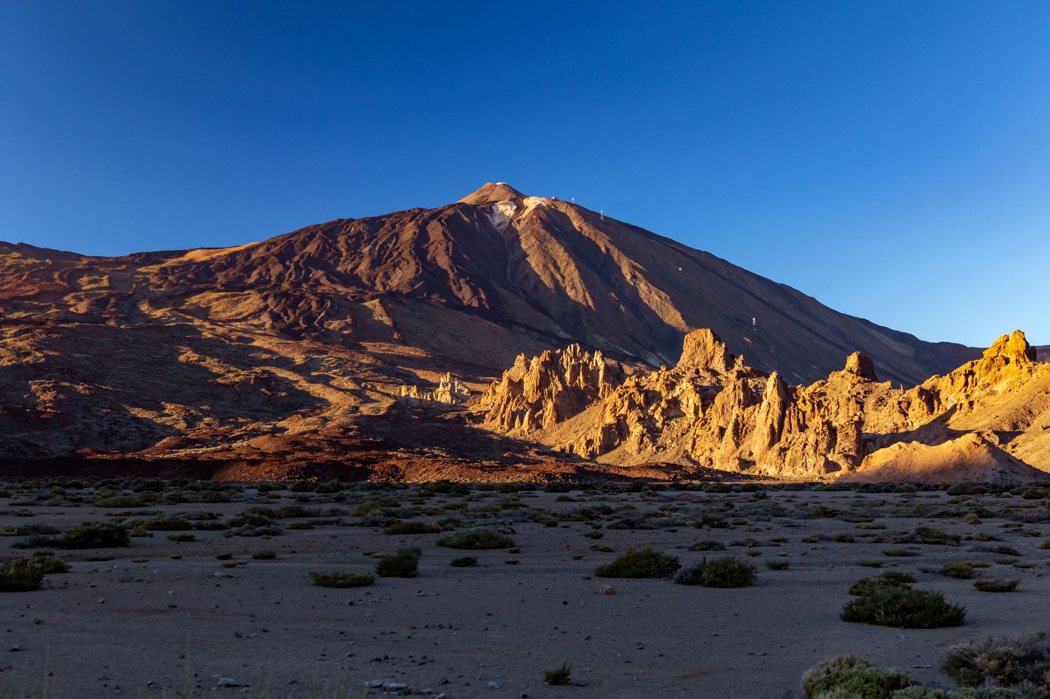
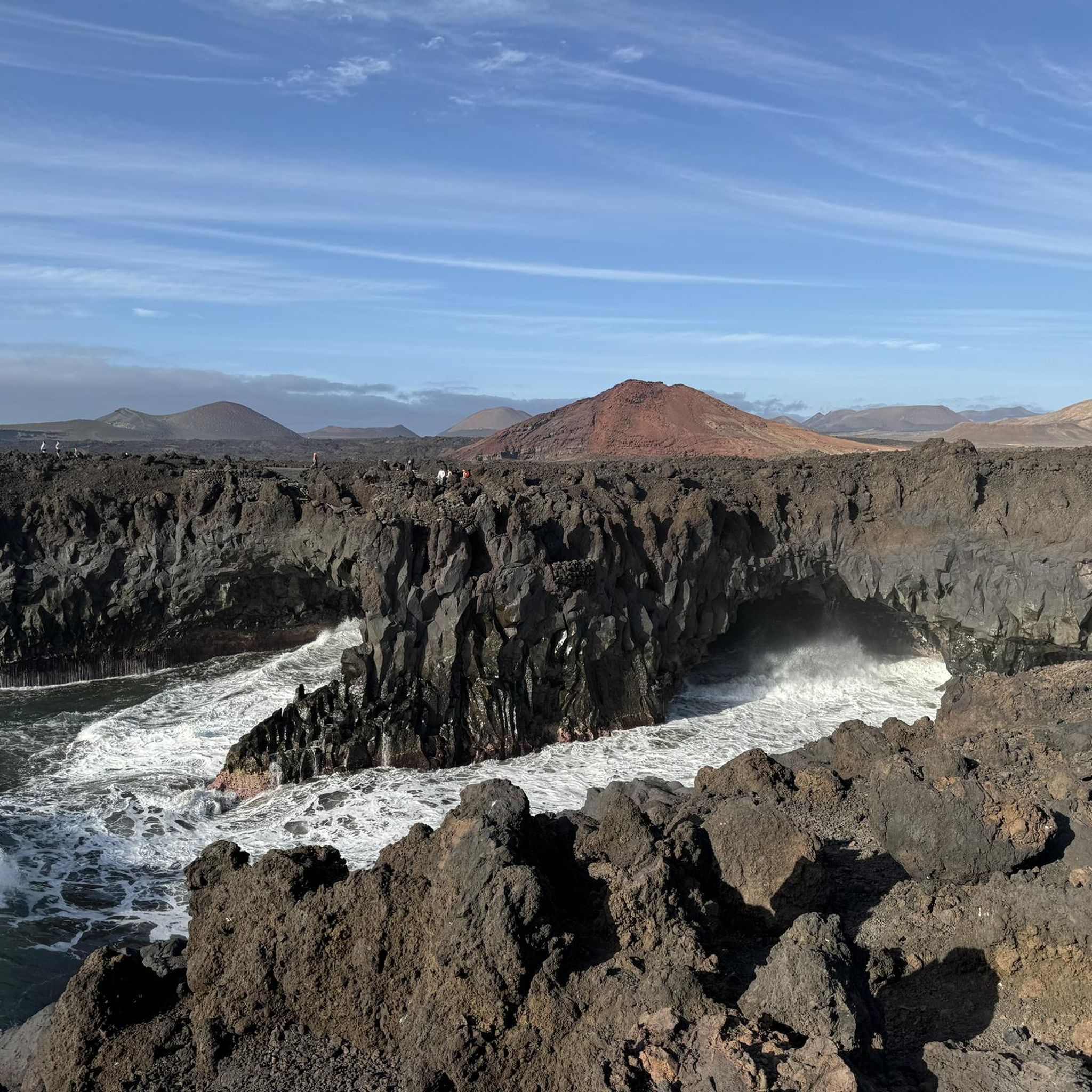
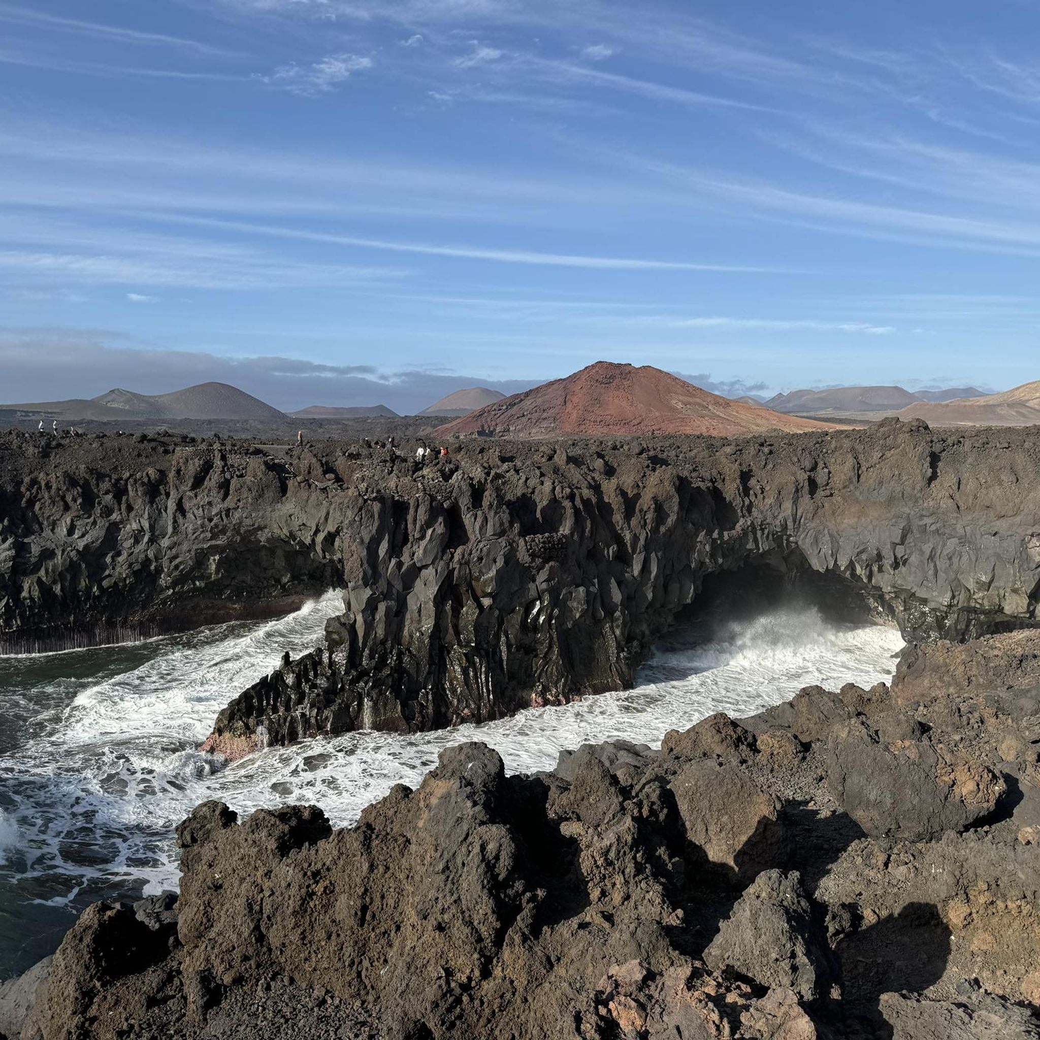
It's unbelievable how colorful this barren landscape can be
0
1
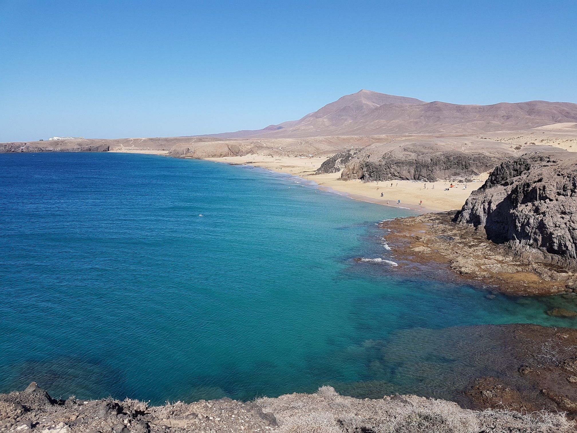
Nicely landscaped garden in a bay that invites you to swim
1
0

Such a picturesque footbridge with its surroundings and a switchbacks oncoming
0
0

Traditional, but not effective, Lanzarote now uses a straight-line cultivation method, which can lead to a tenfold increase in the number of vines.
0
0
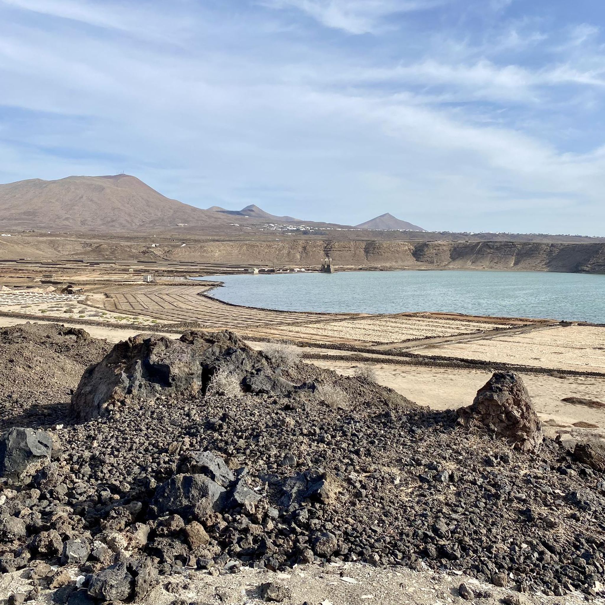
One of the largest quarries on Lanzarote for the extraction of lava sand and gravel
0
0
This ruin is located on the 'Camino natural de Lanzarote' between 'La Florida' and the volcano 'Montaña Guatisea'
0
0
The 'Montaña Tamia' volcano is clearly visible from just ten kilometers away
0
0
For centuries, the vines were grown close to the ground in circular natural stone walls that were intended to protect the grapes from the wind. However, the management was extremely labor-intensive. In some cases ladders had to be used to access the grapes for tending and harvesting. Straight-line cultivation methods are now increasingly being used. Natural stone masonry is only used as natural protection on the 'weather side'. This makes the work much easier.
0
0
Frequently Asked Questions
What is the general difficulty of mountaineering routes in Los Volcanes?
The mountaineering routes in Los Volcanes are primarily rated as moderate. They traverse varied volcanic terrain, including lava fields and rocky paths, offering a good challenge without being overly strenuous for experienced hikers. Expect elevation changes and exposed sections.
How long do mountaineering routes in Los Volcanes typically take to complete?
The duration of routes varies depending on the specific trail and your pace. For example, the Barranco del Higueral – Cactus Oasis on Pico Redondo loop from Femés typically takes around 4 hours 28 minutes, while the Ascent to the Summit – Wooden Footbridge on the Trail loop from Faro de Pechiguera can be completed in about 1 hour 44 minutes. Most routes fall within this range.
Are there any family-friendly mountaineering options in Los Volcanes?
While many routes involve rocky, uneven terrain, some shorter, less strenuous options might be suitable for families with older children who are accustomed to hiking. The Ascent to the Summit – Wooden Footbridge on the Trail loop from Faro de Pechiguera, at 3.4 miles (5.4 km), is one of the shorter moderate trails that could be considered, offering varied terrain including a wooden footbridge.
What is the best time of year for mountaineering in Los Volcanes?
Los Volcanes, being part of the Canary Islands, generally offers pleasant conditions for mountaineering year-round. However, the cooler months from October to May are often preferred to avoid the intense summer heat, especially given the exposed nature of many volcanic trails. Always check local weather forecasts before heading out.
What unique geological features can I expect to see along the routes?
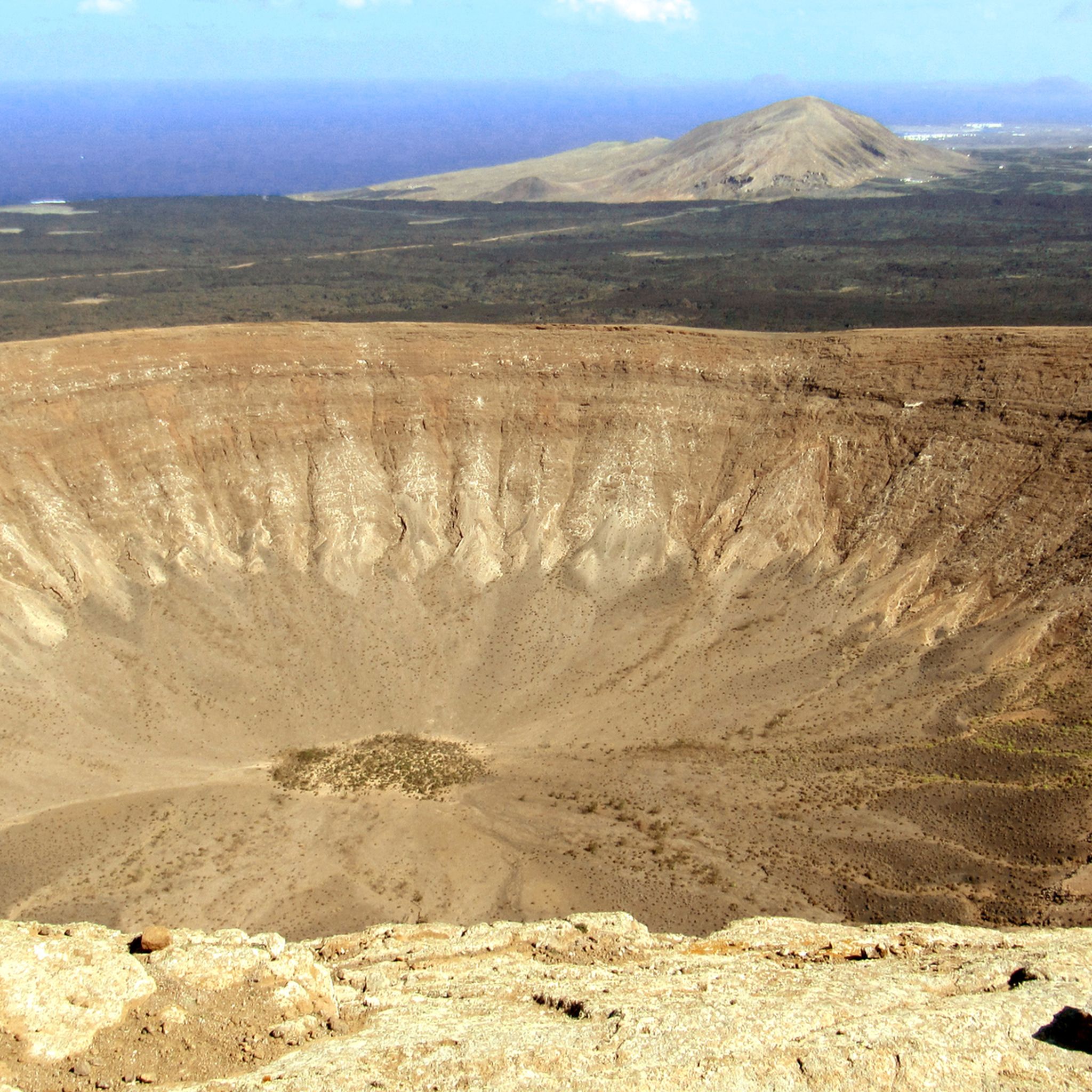
Los Volcanes is defined by its dramatic volcanic landscape. You'll encounter volcanic cones, extensive lava fields, and arid, rocky expanses. Notable features include the Caldera Blanca, La Caldereta Crater, and the impressive Lava Arch. These formations offer a stark and beautiful insight into the region's volcanic history.
Are there any circular mountaineering trails in Los Volcanes?
Yes, several mountaineering routes in Los Volcanes are designed as circular trails, allowing you to start and finish at the same point. Examples include the Barranco del Higueral – Cactus Oasis on Pico Redondo loop from Femés and the Montaña Guatisea South Side – View of Montaña Guatisea loop from Guime.
What should I wear and bring for mountaineering in Los Volcanes?
Given the arid and exposed volcanic terrain, it's crucial to wear sturdy hiking boots with good ankle support. Layered clothing is recommended, as temperatures can vary, and sun protection (hat, sunglasses, high-SPF sunscreen) is essential due to limited shade. Always carry plenty of water, snacks, and a map or GPS device, as mobile signal can be intermittent.
Are there any less crowded mountaineering routes in Los Volcanes?
While some routes, like the popular Barranco del Higueral – Cactus Oasis on Pico Redondo loop from Femés, can see more visitors, exploring trails during off-peak hours or choosing slightly less prominent paths can offer a more solitary experience. The Montaña Guatisea South Side – View of Montaña Guatisea loop from Guime provides expansive views and can be a good option for those seeking tranquility.
What do other mountaineers enjoy most about the routes in Los Volcanes?
Mountaineers frequently praise the unique volcanic landscapes and the panoramic views offered by the trails. The distinct geological formations, such as the various calderas and lava fields, are often highlighted as key attractions, providing a dramatic and memorable outdoor experience.
Are there any specific regulations or permits required for certain areas in Los Volcanes?
Los Volcanes is a protected natural area, and while general access to most trails is free, certain sensitive zones or specific activities might require permits or have restrictions. It's always advisable to check with the local park authorities or visitor centers for the most up-to-date information on regulations before planning your trip, especially if you intend to deviate from marked paths or visit particularly fragile areas.
Can I find places to eat or drink near the mountaineering trails?
While the trails themselves are generally remote and within natural landscapes, you can find cafes and restaurants in the nearby towns and villages surrounding Los Volcanes. Depending on your starting point, places like Femés, Guime, or areas near Faro de Pechiguera offer options for refreshments before or after your mountaineering adventure.
Most popular routes in Los Volcanes
Most popular attractions in Los Volcanes

Get inspired with the komoot mobile app


