The best road cycling routes around Río Guadamatilla
3.0
(1)
54
riders
6
rides
Road cycling routes around Río Guadamatilla traverse the Los Pedroches region in northern Córdoba, Spain, characterized by its extensive dehesa landscape of holm oak pastureland. The terrain features quiet roads, gentle rolling plains, and more challenging ascents towards the Sierra Morena. The area is defined by its diverse natural environment, including the Río Guadamatilla itself and the La Colada Reservoir.
Best road cycling routes around Río Guadamatilla
- The most popular road cycling route is Pozoblanco — circular from Villanueva del…
Last updated: May 14, 2026
3
riders
52.8km
02:16
420m
420m
Moderate road ride. Good fitness required. Mostly well-paved surfaces and easy to ride.
20
riders
79.1km
03:58
890m
890m
Moderate road ride. Good fitness required. Some segments of this route may be unpaved and difficult to ride.

Sign up for free
16
riders
74.2km
03:12
580m
590m
Moderate road ride. Good fitness required. Mostly well-paved surfaces and easy to ride.
5
riders
93.1km
04:20
1,140m
1,140m
Hard road ride. Very good fitness required. Mostly well-paved surfaces and easy to ride.
3.0
(1)
5
riders
36.4km
01:32
220m
220m
Easy road ride. Great for any fitness level. Mostly well-paved surfaces and easy to ride.
5
riders
Moderate road ride. Good fitness required. Mostly well-paved surfaces and easy to ride.
Our route recommendations are based on thousands of hikes, rides, and runs completed by other people on komoot.
Start today with a free account
Your next adventure awaits.
Login or Signup
Popular around Río Guadamatilla
Tips from the Community

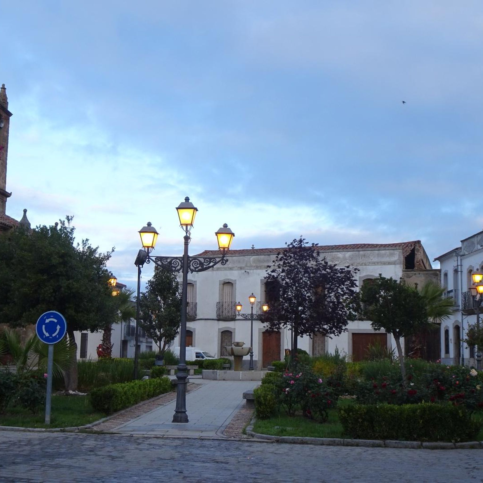
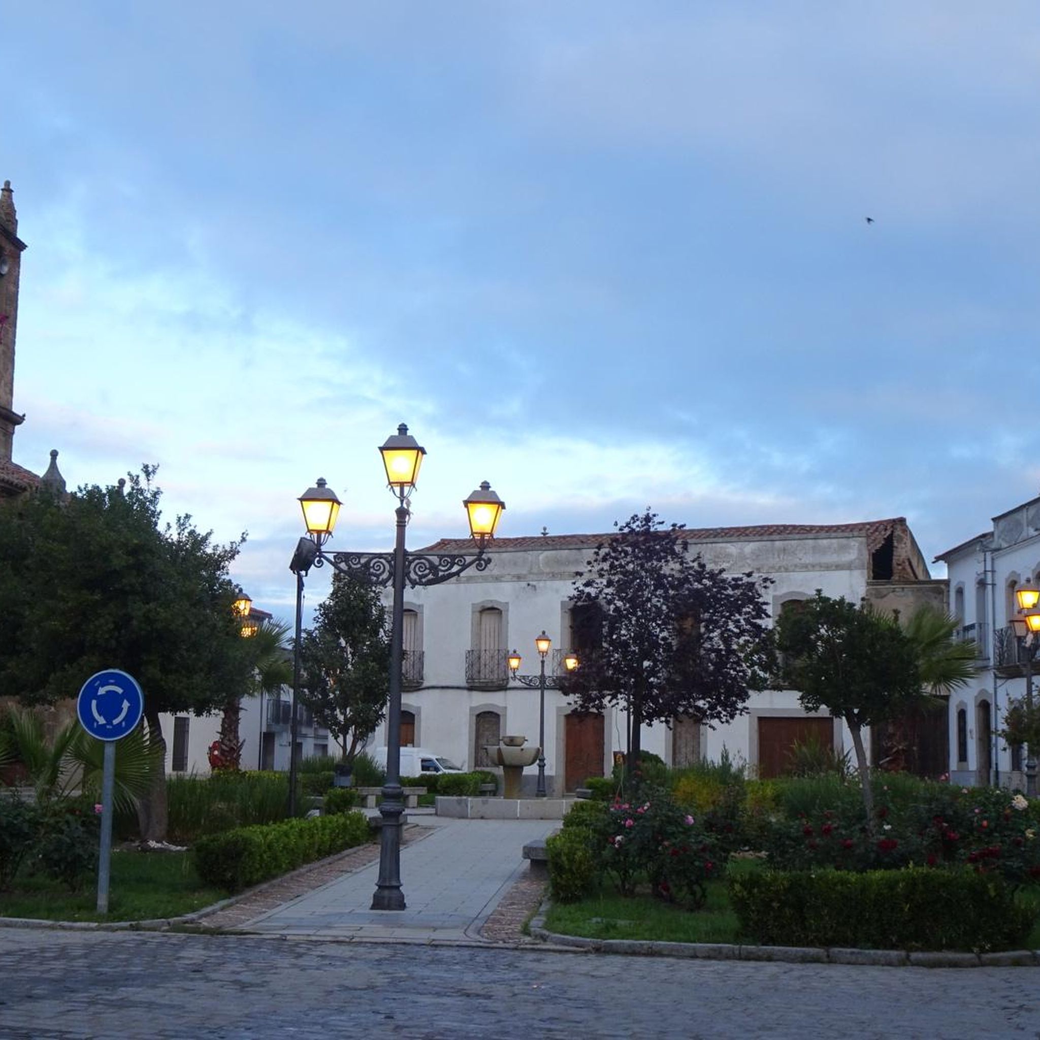
La Puerta de la Villa de Santa Eufemia is one of the most notable remains of the municipality's old walled enclosure. This stone arch, of medieval origin, gave access to the interior of the villa and today is integrated into the urban area, preserving its historical and heritage value.
0
0

Dos Torres is one of the most charming villages in Los Pedroches. It stands out for: Its traditional architecture of lime, granite, and wrought iron, very well preserved in the historic center. A tranquil, authentic, and rural atmosphere, ideal for getting away from it all. A historical heritage that combines Roman remains, medieval legacy, churches of great artistic value, and unique natural spaces. Its location amidst spectacular meadows makes it perfect for nature lovers. Overall, it is a small village but surprisingly rich in history, tranquility, and architectural beauty.
1
0

On Doctor Ochoa Street in Pozoblanco, you'll find restaurants and cafes, as well as the Abastos market and accommodations.
0
0

Beautiful view, very cool!!!
0
1
Belmez Castle is a historic fortress located in Belmez. It stands majestically on a high limestone rock, offering a stunning view of the village and surrounding areas. The castle dates back to at least 1245, with significant additions made in the 15th century. It played an important role during the Reconquista and was occupied by French troops during the Peninsular War (1810-1812). The castle features a pentagonal Keep, six semicircular towers and a zigzag staircase leading up to it. If you're planning a visit, it's open daily and admission is free.
6
0

Espiel is a Spanish municipality in the province of Córdoba, Andalusia. In 2019 it had 2,397 inhabitants. Its surface area is 437.26 km² and it has a density of 5.69 inhabitants/km².
0
0
Villanueva del Rey is a Spanish municipality in the province of Córdoba, Andalusia. In 2016 it had 1,088 inhabitants. Its surface area is 214 km² and it has a density of 5.7 inhabitants/km². It is located in the Guadiato Valley region, at an altitude of 555 meters.
0
0

This is one of the stage destinations where pilgrims on the Camino Mozarabe can find accommodation for the night.
0
0
Frequently Asked Questions
What kind of terrain can I expect on road cycling routes around Río Guadamatilla?
The region offers diverse terrain, from gentle, rolling plains and extensive dehesa (holm oak pastureland) to more challenging ascents as you approach the Sierra Morena. You'll find quiet roads winding through picturesque landscapes, suitable for various skill levels.
Are there road cycling routes suitable for beginners in the Río Guadamatilla area?
Yes, there are routes suitable for beginners. For instance, the Villaralto – Alcaracejos Town Center loop from Villaralto is classified as easy, covering about 36.4 km with moderate elevation gain, making it a good option for those new to road cycling in the area.
Can I find challenging road cycling routes with significant climbs near Río Guadamatilla?
Absolutely. While many routes feature rolling terrain, some offer significant climbs, especially towards the Sierra Morena. The Villanueva del Duque – Belmez loop from Villanueva del Duque is a difficult route, spanning over 93 km with more than 1,100 meters of elevation gain, perfect for experienced cyclists seeking a challenge.
Are there circular road cycling routes available in the region?
Yes, many of the routes in the Río Guadamatilla area are circular, allowing you to start and end in the same location. Examples include the popular Pozoblanco — circular from Villanueva del Duque and the Villanueva del Duque – Alcaracejos loop from Villanueva del Duque.
What natural features can I expect to see along the road cycling routes?
You'll primarily experience the unique dehesa landscape, Europe's largest continuous holm oak pastureland. Routes also pass near the Río Guadamatilla itself and the scenic La Colada Reservoir. The region's ecological richness is evident in its protected riverine ecosystems, home to diverse flora and fauna.
Do the road cycling routes pass through any traditional villages?
Yes, the road cycling routes often connect the charming traditional villages of the Los Pedroches region. This offers opportunities to experience local architecture and culture. Routes like the Puerta de la Villa – Santa Eufemia loop from Mesón La Dehesa will take you through the countryside connecting these communities.
When is the best time of year for road cycling around Río Guadamatilla?
The Los Pedroches region generally offers pleasant conditions for cycling during spring and autumn, when temperatures are milder. Summers can be quite hot, while winters are generally mild but can have cooler days. Always check local weather forecasts before heading out.
What is the typical length of road cycling routes in this area?
The routes vary in length to suit different preferences. You can find shorter rides, such as the easy 36.4 km Villaralto – Alcaracejos Town Center loop from Villaralto, up to longer, more challenging routes like the 93.1 km Villanueva del Duque – Belmez loop from Villanueva del Duque.
Is the Río Guadamatilla area suitable for family road cycling trips?
For families, it's best to choose the easier, flatter sections of routes, particularly those away from main roads. The region's quiet roads and gentle plains offer suitable conditions for family rides, but always check the specific route's difficulty and elevation profile, such as the easy Villaralto – Alcaracejos Town Center loop from Villaralto.
What do other road cyclists enjoy most about the Río Guadamatilla region?
The area is appreciated for its quiet roads, the unique and extensive dehesa woodlands, and the varied topography that caters to different cycling abilities. Cyclists often highlight the tranquil atmosphere and the opportunity to connect with nature and local villages.
Are there any routes that connect multiple towns or villages?
Yes, many routes are designed to connect the various villages within the Los Pedroches region. For example, the Alcaracejos Town Center – Ermita de Piedras Santas loop from Villanueva del Duque connects several points of interest and villages, offering a great way to explore the local area by bike.
Most popular routes around Río Guadamatilla

Get inspired with the komoot mobile app


Explore more
Browse the best Road cycling routes in other regions.
