The best running trails in Sierra Pelada Y Rivera Del Aserrador
49
runners
10
runs
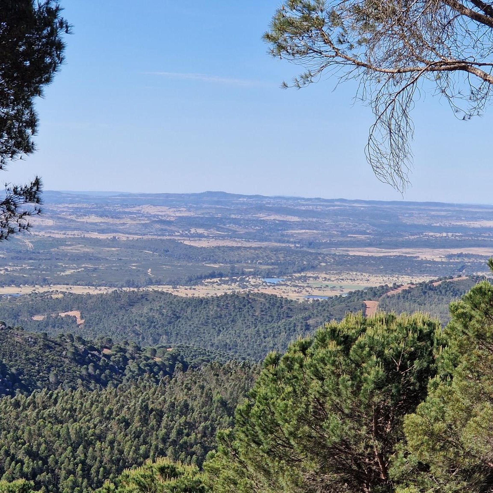
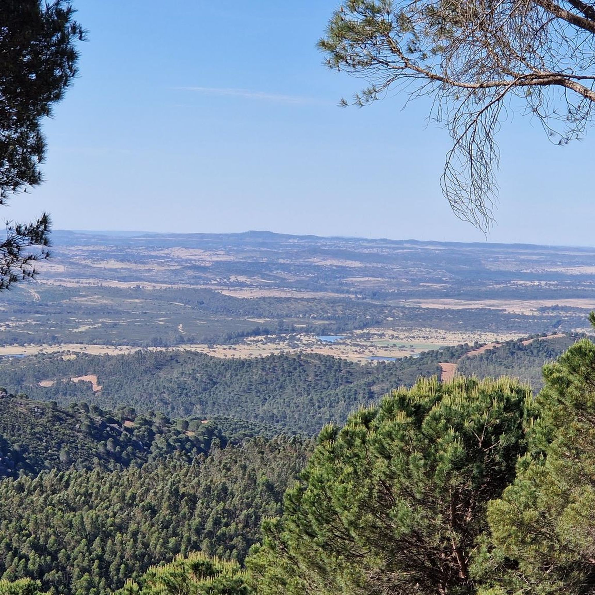
Jogging in Sierra Pelada Y Rivera Del Aserrador offers routes through a rugged and diverse landscape. The region features wooded hills, deep gorges, and riverine forests, providing varied terrain for runners. Predominantly characterized by cork and holm oaks, the area also includes distinctive granite outcrops and offers a tranquil environment for outdoor activity. This natural area, situated in the foothills of the Sierra Morena, presents a mix of inclines and more level stretches.
Best jogging routes in Sierra Pelada Y…
Last updated: August 6, 2026
3
runners
5.87km
00:42
80m
80m
Moderate run. Good fitness required. Mostly paved surfaces. Suitable for all skill levels.
4
runners
8.62km
01:01
170m
170m
Moderate run. Good fitness required. Mostly paved surfaces. Suitable for all skill levels.

Sign up for free
5.0
(1)
1
runners
7.39km
00:51
190m
200m
Moderate run. Good fitness required. Mostly paved surfaces. Suitable for all skill levels.
1
runners
6.45km
00:45
70m
70m
Moderate run. Good fitness required. Mostly paved surfaces. Suitable for all skill levels.
3
runners
10.5km
01:10
230m
220m
Moderate run. Good fitness required. Mostly paved surfaces. Suitable for all skill levels.
Get access to more routes and recommendations from other explorers.
Sign up for free
Already have an account?
Our route recommendations are based on thousands of hikes, rides, and runs completed by other people on komoot.
Start today with a free account
Your next adventure awaits.
Login or Signup
Popular around Sierra Pelada Y Rivera Del Aserrador


Tips from the Community

Pretty town near the Portugal-Spain border at the foot of the Ficalho hill that gives the town its name. It can be reached from Rosal de al Frontera (SP) by a picturesque road through the hill that crosses the border.
0
0

Vila Verde Ficalho has history. It is a village located in the easternmost part of the municipality of Serpa, bordering the Spanish town of Rosal de la Frontera and belonging to the territory known as the Left Bank of the Guadiana. Our people have ancient traditions and historical records that extol them. All the landscape, historical and cultural settings make this border village very special, both for its inhabitants and visitors. Its area measures approximately 10,402,3909 hectares, and the town is flanked by the Ficalho mountain range, which is approximately 518 metres high. Throughout our region, you can see mountains, valleys, hills, dotted with trees, wells and springs. All the archaeological heritage found here reveals bits and pieces of the passage of various peoples through our land, from the Paleolithic era, when man was still a gatherer, to the Neolithic era (3500 BC), to the Visigoths, the Romans (where the city of Finis possibly existed), and the Arab people who left us several customs. The exact date of the founding of our town as a historical place is unknown; hypothetically, it was in the 1940s, in the 13th century, at the end of the reign of D. Sancho II and the beginning of the reign of D. Afonso III. Our people are mainly dedicated to agriculture, although artisanal agriculture is still being seen, new technologies are beginning to be used. There has been a significant decrease in commercial activity, many establishments have been closing and we no longer see, as we once did, clusters of Spanish people. It is worth noting that tourism is likely to increase in this area; in recent months, some have appeared in our town. tourists who have shown a fondness for this small village with an aging population.
2
0

Today's town was created in 1232 as part of the new settlements after the Reconquista under King D. Sancho II. The community is characterized by agriculture, particularly by the striking olive groves. It has always been known for its olive oil, wine and honey. Ficalho's coat of arms shows a honey bee and olive tree branches.
3
1

Town located in slightly uneven terrain and dedicated to agriculture and livestock, with areas of pines and eucalyptus trees. It has an extensive forest that takes its name from the stream that runs through its land. This is the reason for the economy of this town based on forestry and forest exploitation.
0
0
As you walk through the streets of Cortegana you will see various examples of monumental heritage that have survived to this day in an excellent state of preservation. You must see the Medieval Castle of Cortegana, the Hermitage of Nuestra Señora de la Piedad, the church of Divino Salvador, the hermitage of San Sebastián, the hermitage of Jesús Nazareno, the bullring, and La Casa Mudéjar.
1
0

Before entering Cortegana, it is worth stopping at this viewpoint to enjoy the fantastic views of the town.
1
0

Pretty town near the Portugal-Spain border at the foot of the Ficalho hill that gives the town its name. It can be reached from Rosal de al Frontera (SP) by a picturesque road through the hill that crosses the border.
5
0
Frequently Asked Questions
How many running routes are available in Sierra Pelada y Rivera del Aserrador?
Komoot currently lists 4 running routes in Sierra Pelada y Rivera del Aserrador. All of these routes are rated as moderate difficulty, offering a balanced challenge for most runners.
What kind of terrain can I expect on the running trails in this region?
The Sierra Pelada y Rivera del Aserrador offers a diverse and rugged landscape. You can expect trails through wooded hills, deep gorges, and riverine forests, often featuring cork and holm oaks. The area also has distinctive geological formations like granite outcrops, slate, and quartzite rocks, providing varied surfaces and stimulating environments for runners.
Are there any circular running routes in Sierra Pelada y Rivera del Aserrador?
Yes, several routes in the area are designed as loops. For example, the Santa Bárbara de Casa loop from Santa Bárbara de Casa is a moderate 5.9 km trail, and the Running loop from Cortegana offers a varied 8.6 km experience. Another option is the Cortegana Viewpoint loop from Cortegana, which is 7.4 km with elevated sections.
What are the best starting points for running in the Sierra Pelada y Rivera del Aserrador area?
Popular starting points for running routes include the towns of Santa Bárbara de Casa and Cortegana. These locations offer access to well-regarded loops that explore the local surroundings and natural areas.
Are there any family-friendly running routes suitable for all ages?
While all listed routes are currently rated as moderate, the Santa Bárbara de Casa loop from Santa Bárbara de Casa is the shortest at 5.9 km with less elevation gain (around 80m up/down), making it a potentially more manageable option for families looking for a less strenuous run.
Can I bring my dog on the running trails in Sierra Pelada y Rivera del Aserrador?
The Sierra Pelada y Rivera del Aserrador is a natural area, and generally, dogs are welcome on trails, especially if kept under control. However, it's always advisable to check local regulations or signage at trailheads, particularly within protected zones, to ensure compliance with any specific rules regarding pets.
What is the best time of year to go running in this region?
The region's climate suggests that spring and autumn are ideal for running, offering milder temperatures. Summers can be very hot, making early mornings or late evenings preferable. Winters are generally mild, but some trails might be muddy after rain.
Are there any viewpoints or scenic spots along the running routes?
Yes, the region is known for its panoramic views. The Cortegana Viewpoint loop from Cortegana specifically highlights elevated sections. The region research also mentions footpaths leading to peaks like La Caba (737m) and Pelada (654m) which offer superb panoramic views, though these might be on more challenging, less defined paths.
What makes running in Sierra Pelada y Rivera del Aserrador unique?
Running in Sierra Pelada y Rivera del Aserrador offers a unique experience due to its remote and largely uninhabited nature, providing a peaceful and serene environment. The 'topography of contrasts' with wooded hills, deep gorges, and riverine forests, combined with distinctive geological features, ensures a stimulating and visually interesting run away from crowds.
Are there any permits required to access running trails in the natural park?
Generally, no specific permits are required for recreational activities like running on established trails within the Sierra Pelada y Rivera del Aserrador natural area. However, it's always good practice to respect private property and follow any posted local regulations, especially if venturing off marked paths.
Where can I find accommodation or cafes near the running routes?
The towns of Santa Bárbara de Casa and Cortegana, which serve as starting points for several routes, are good places to look for local amenities such as cafes, restaurants, and accommodation options. These towns provide convenient bases for exploring the running trails in the region.
Most popular routes in Sierra Pelada Y Rivera Del Aserrador

Get inspired with the komoot mobile app


Explore more
Browse the best Running Trails & Routes in other regions.
