The best running trails in Sierra De Gador Y Enix
4.5
(49)
8,554
runners
292
runs
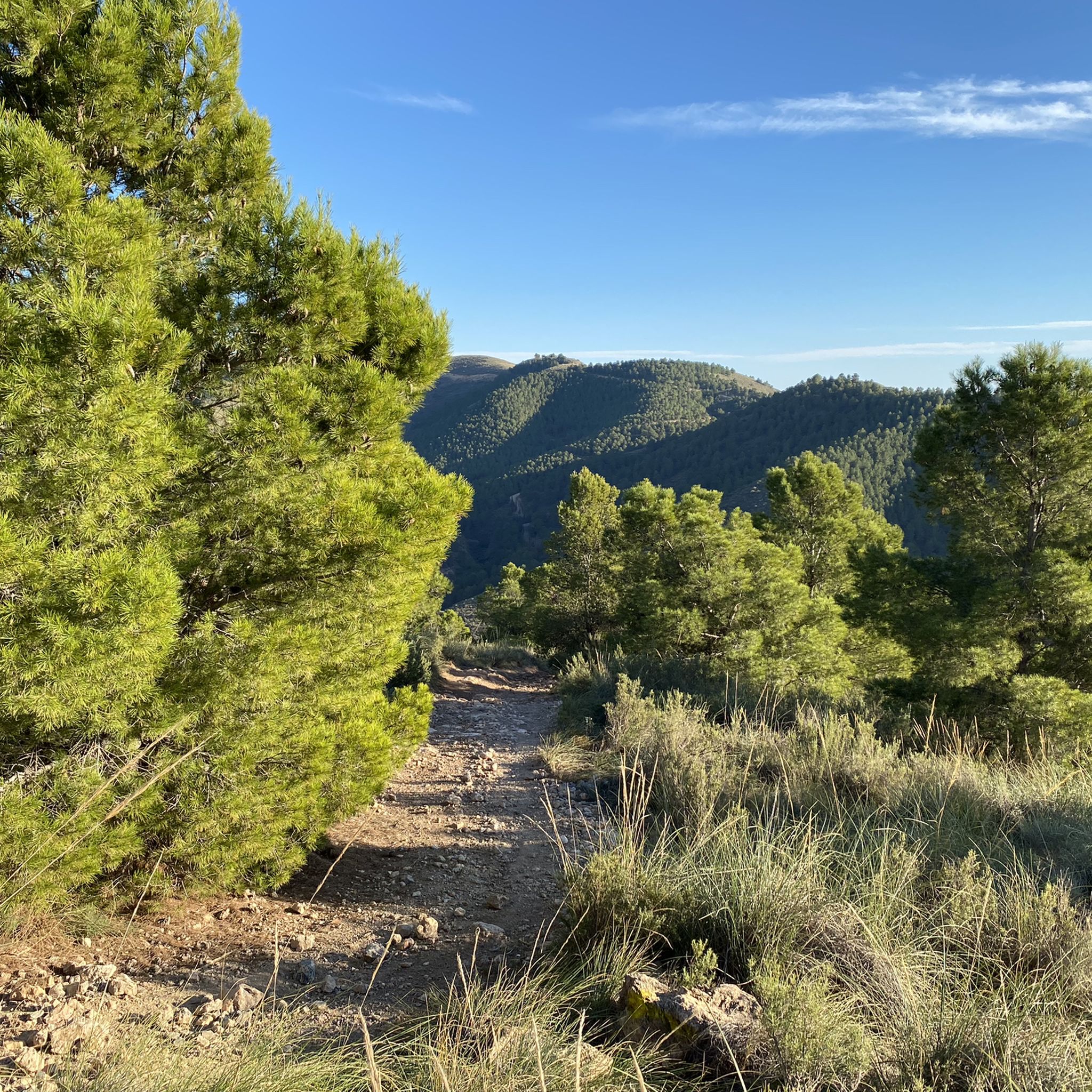
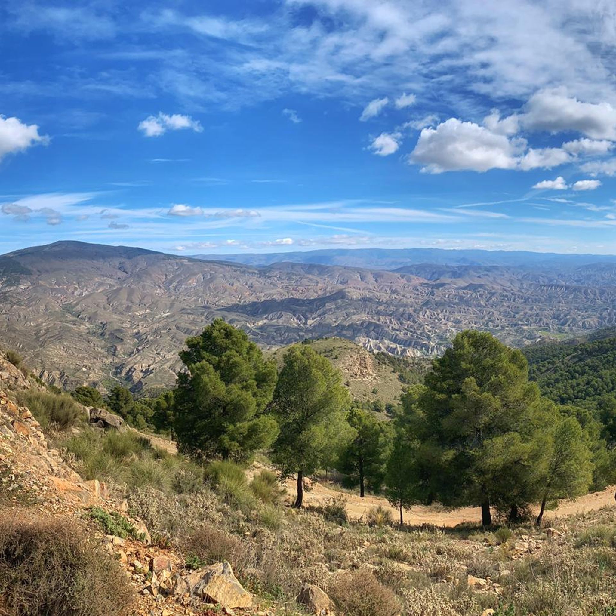
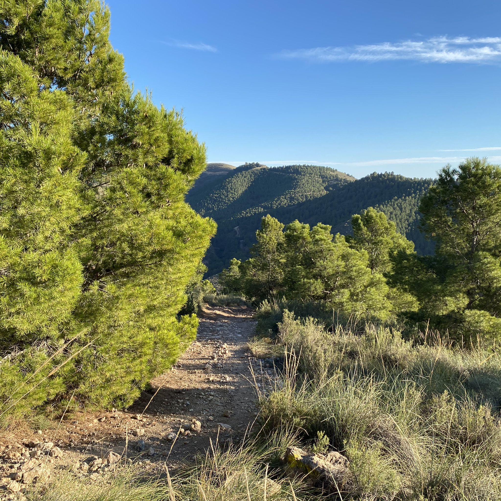
Jogging routes in Sierra De Gador Y Enix traverse a diverse landscape, ranging from semi-arid ecosystems at lower altitudes to high mountain peaks exceeding 2,000 meters. The region is characterized by a striking contrast of environments, featuring recovering woodlands, historic mining sites, and a network of ravines and dry riverbeds. Runners can experience varied terrain, from gentle paths to more strenuous ascents, often rewarded with panoramic views of the Gulf of Almería and the Mediterranean Sea.
Best jogging routes in…
Last updated: October 28, 2026
129
runners
9.98km
01:05
50m
50m
Moderate run. Good fitness required. Mostly paved surfaces.
111
runners
5.37km
00:34
30m
30m
Moderate run. Good fitness required. Mostly paved surfaces.

66
runners
9.06km
01:12
440m
440m
Hard run. Very good fitness required. Mostly paved surfaces.
12
runners
12.2km
01:44
550m
550m
Hard run. Very good fitness required. Mostly paved surfaces.
8
runners
23.1km
02:58
800m
800m
Hard run. Very good fitness required. Mostly paved surfaces.
Get access to more routes and recommendations from other explorers.
Already have an account?
Our route recommendations are based on thousands of hikes, rides, and runs completed by other people on komoot.
Start today with a free account
Your next adventure awaits.
Tips from the Community


Beach that is located north of the town of Roquetas de Mar and where it is known for its large number of palm trees. To get there, you have to go there on foot, as sand appears, only 100 meters from the road.
0
0

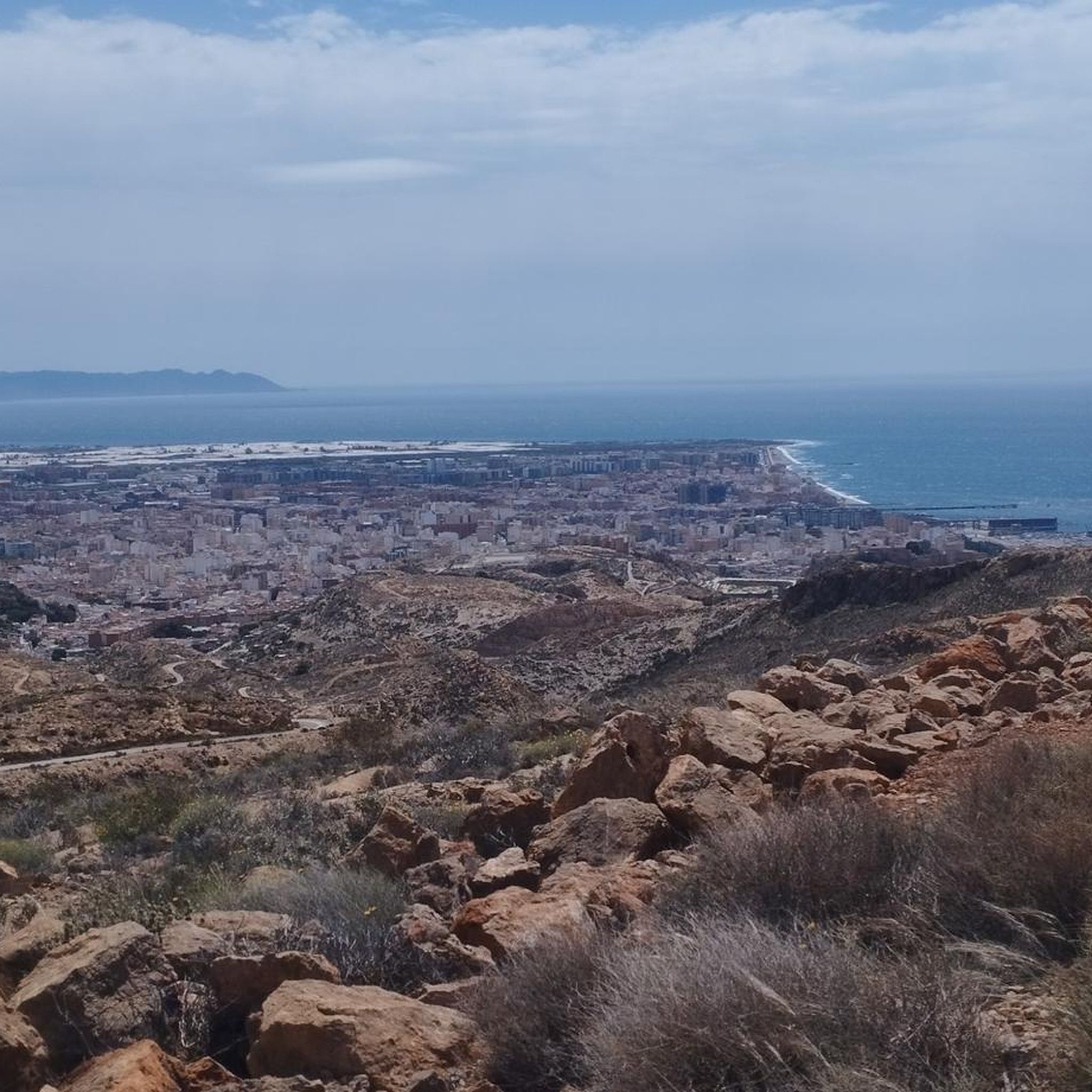
a magnificent view towards Almeria and Roquetas de Mar from 400m altitude
1
0

Views from the Aguadulce viewpoint.
10
0

Gym, restaurant and bike parking.
0
0
A favorite place for runners and cyclists, it connects Roquetas with Aguadulce, along the same beach
0
1
It connects Roquetas with Aguadulce along the beach, very crowded.
0
1
Frequently Asked Questions
How many running routes are available in Sierra de Gádor y Enix?
The Sierra de Gádor y Enix region offers a wide variety of running routes, with over 280 trails available on komoot. These routes cater to all levels, from easy strolls to challenging ascents, ensuring there's something for every runner.
What kind of terrain can I expect on jogging routes in Sierra de Gádor y Enix?
Jogging routes in Sierra de Gádor y Enix feature incredibly diverse terrain. You'll find everything from semi-arid ecosystems at lower altitudes to high mountain peaks exceeding 2,000 meters. Trails often wind through recovering woodlands, past historic mining sites, and along a network of ravines and dry riverbeds. Coastal paths also offer gentler elevation profiles with sea views.
Are there any easy jogging routes suitable for beginners or a relaxed run?
Yes, Sierra de Gádor y Enix has options for all fitness levels. Among the nearly 300 routes, 26 are classified as easy, perfect for beginners or those looking for a relaxed run. For a moderate coastal experience, consider the Aguadulce Promenade loop from Aguadulce, which offers scenic views with a gentler elevation profile.
What are some notable landmarks or points of interest I might see while running in the area?
The region is rich in natural and historical landmarks. You might encounter the picturesque Balsa de la Chanata, a natural pond, or explore the historical Sierra de Gádor Mining Trail (Sendero La Peseta–Camino de Enix), which offers a glimpse into the area's past. Many routes also provide stunning panoramic views from spots like the Alicún-Huécija Viewpoint.
Are there any circular running routes in Sierra de Gádor y Enix?
Yes, many of the running routes in Sierra de Gádor y Enix are designed as loops, offering convenient starting and ending points. For a challenging loop, try the Cerro de las Bolinas loop from Aguadulce. Another popular option is the San Telmo – Cala de La Garrofa loop from Aguadulce, which takes you through coastal areas and coves.
What is the best time of year for running in Sierra de Gádor y Enix?
The Sierra de Gádor y Enix offers good running conditions for much of the year. Spring and autumn generally provide the most pleasant temperatures for outdoor activities. While parts of the region can be semi-arid, the abundance of springs and water sources can be refreshing. In winter, the high mountain zone known as 'El Pelao' (above 1,800 meters) can experience very low temperatures and even snow, offering a different kind of challenge and beauty.
Are there long-distance running trails for experienced runners?
Absolutely. For experienced runners seeking a significant challenge, there are several long-distance trails. The Balsa de la Chanata loop from Venta de la Mamona is a difficult route spanning nearly 25 kilometers, offering substantial elevation gain and a rewarding experience through the mountains.
What do other runners say about the trails in Sierra de Gádor y Enix?
The running routes in Sierra de Gádor y Enix are highly regarded by the komoot community, with an average rating of 4.3 stars from over 35 reviews. More than 7,600 runners have explored the varied terrain, often praising the stunning panoramic views of the Gulf of Almería and the Mediterranean Sea, as well as the diverse landscapes from coast to high peaks.
Can I find trails that offer panoramic views of the coast or mountains?
Yes, panoramic views are a highlight of running in Sierra de Gádor y Enix. As you ascend many of the trails, you'll be treated to breathtaking vistas of the Gulf of Almería, the city of Almería, the beaches of Roquetas, and the vast Mediterranean Sea. The elevated position of villages like Enix also provides captivating views, especially during sunrise and sunset.
Are there any running routes that follow historical paths?
Yes, the region's rich history is woven into its landscape. Some trails, such as those connecting Enix with the capital Almería, follow ancient Roman roads, adding a unique historical dimension to your run. Additionally, routes like the Sierra de Gádor Mining Trail take you through areas with remnants of the region's lead and silver mining heritage.
Are there any trails suitable for families with children?
While many routes in Sierra de Gádor y Enix involve significant elevation, there are easier options that families might enjoy. Look for the 26 routes classified as 'easy' on komoot, which typically have less challenging terrain and elevation, making them more suitable for a family outing. Always check the route details for distance and elevation before heading out.
What is the longest running route available in Sierra de Gádor y Enix?
Among the featured routes, the Balsa de la Chanata loop from Venta de la Mamona stands out as one of the longest, covering nearly 25 kilometers. This difficult trail is ideal for runners looking for an extended and challenging experience in the mountainous landscape.
Most popular routes in Sierra De Gador Y Enix
Most popular attractions in Sierra De Gador Y Enix

Get inspired with the komoot mobile app


Explore more
Browse the best Running Trails & Routes in other regions.
