Attractions and Places To See in Sierra Norte De Guadalajara - Top 20
Best attractions and places to see in Sierra Norte De Guadalajara include a vast natural park encompassing the Ayllón and Pela mountain ranges, connecting the Central System and the Iberian System. This region features diverse geology with slate, quartzite, and gneiss, forming ridges, valleys, and canyons. It is also known for its distinctive Black Architecture villages, where houses are built with local slate and quartzite. The area offers a blend of natural beauty and cultural heritage for exploration.
Best attractions…
Last updated: May 10, 2026
Pontón de la Oliva Dam and Cliffside Pathways
Highlight • Monument
Translated by Google •
Tip by

Valverde de los Arroyos
Highlight • Settlement
Translated by Google •
Tip by
Sign up now to discover places like this
Get recommendations on the best single tracks, peaks, & plenty of other exciting outdoor places.
Sign up for free
Trillos Bridge
Highlight • Bridge
Translated by Google •
Tip by
Roblelacasa
Highlight • Settlement
Translated by Google •
Tip by
Pico Ocejón
Highlight • Summit
Translated by Google •
Tip by
Sign up for free to discover even more attractions in Sierra Norte De Guadalajara.
Sign up for free
Already have an account?
Start today with a free account
Your next adventure awaits.
Login or Signup
Popular around Sierra Norte De Guadalajara
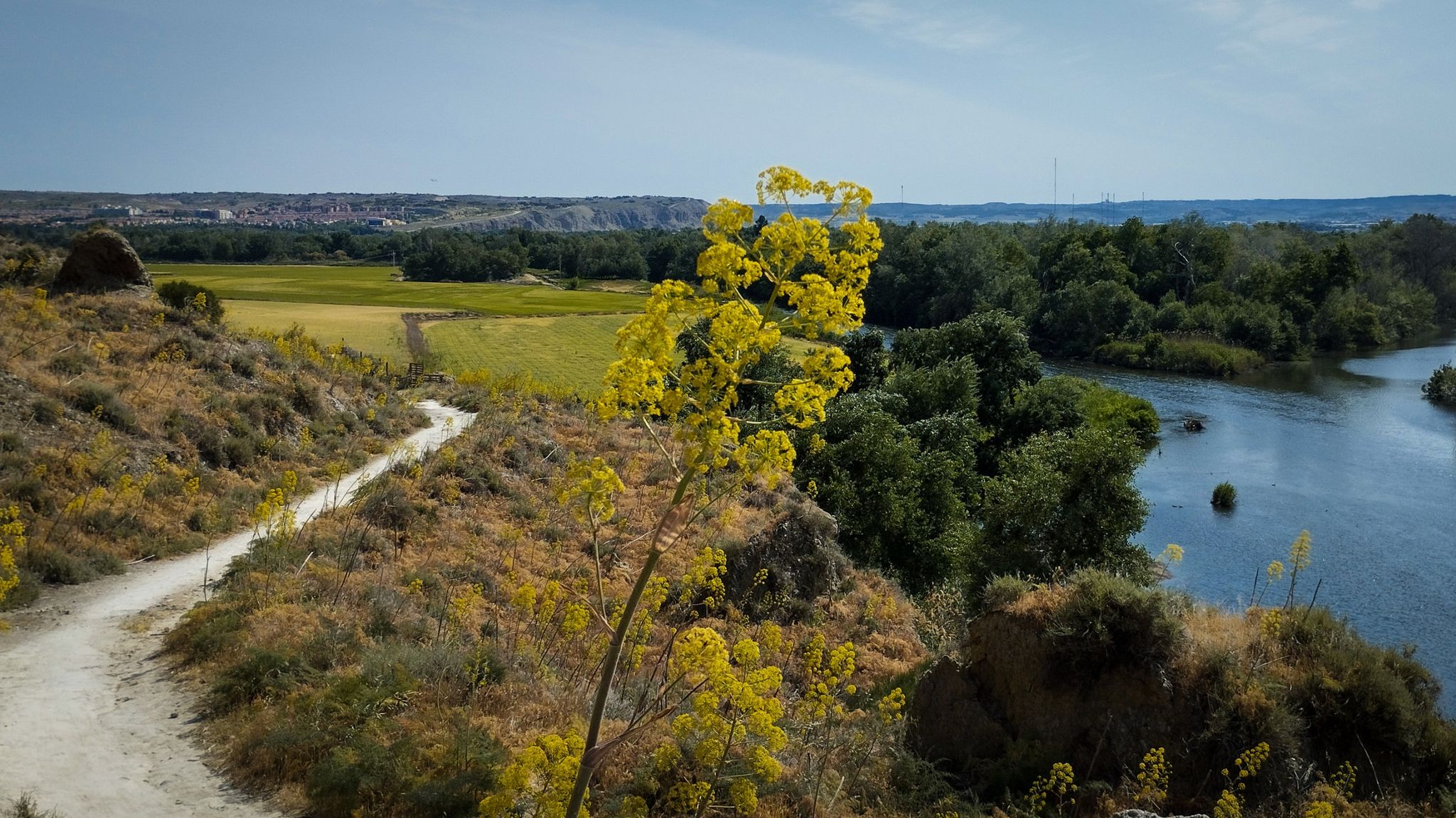
Unexpectedly wild – Jarama on a gravel bike

The Black Towns – Sierra Norte de Guadalajara on foot (GR 60)
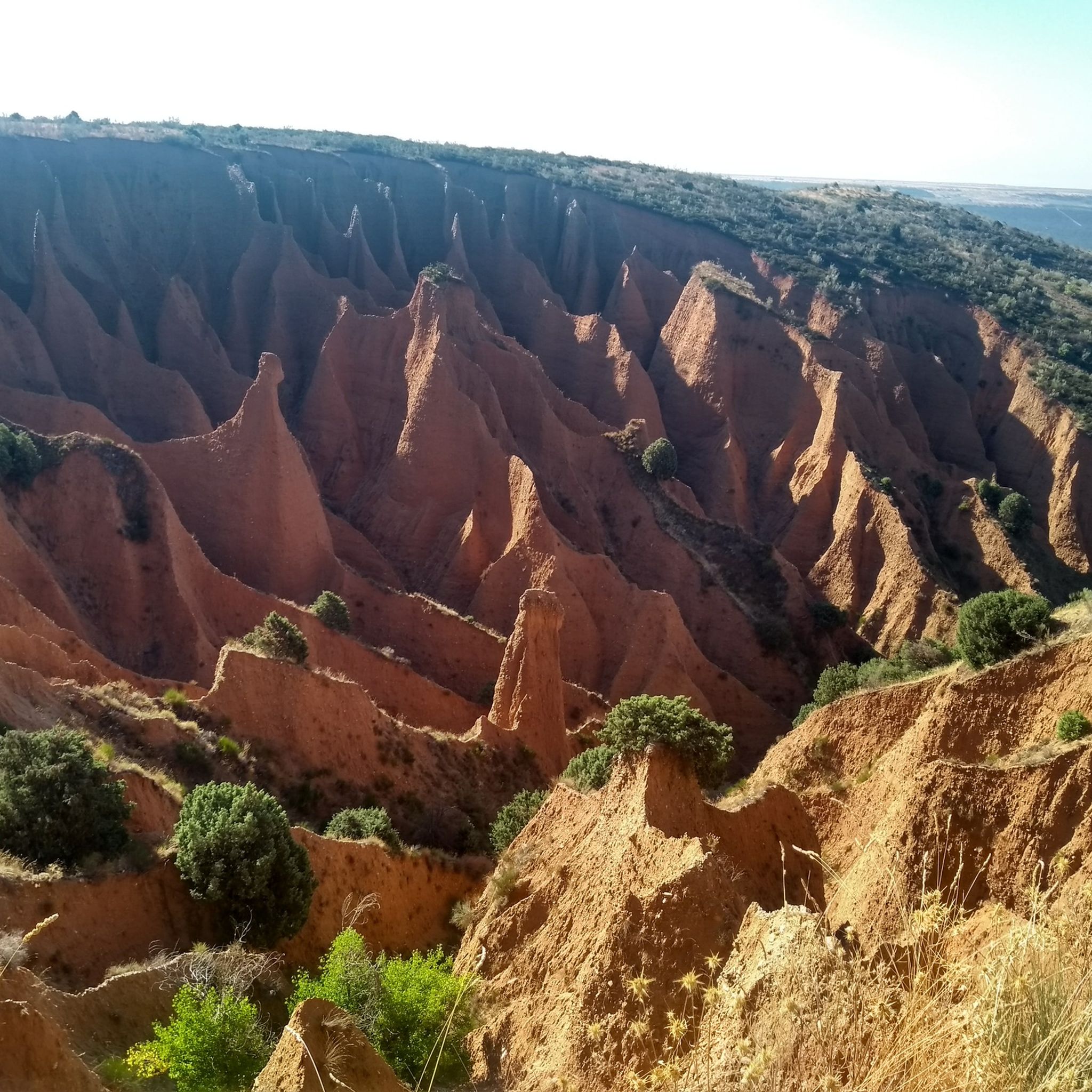
Hiking in Sierra Norte De Guadalajara
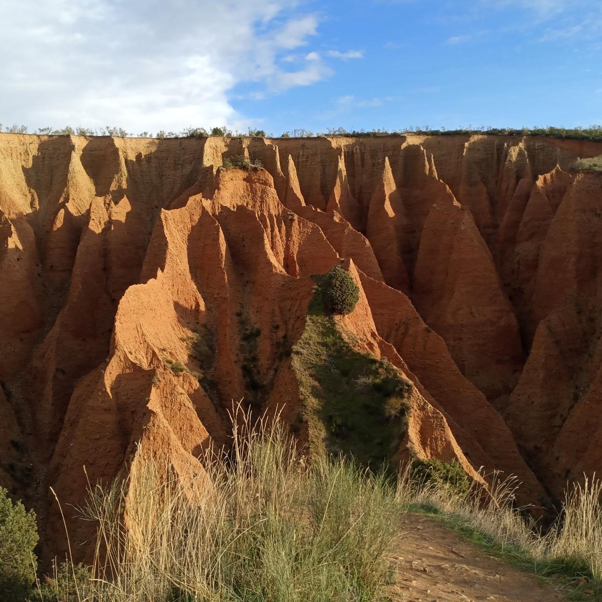
Running Trails in Sierra Norte De Guadalajara
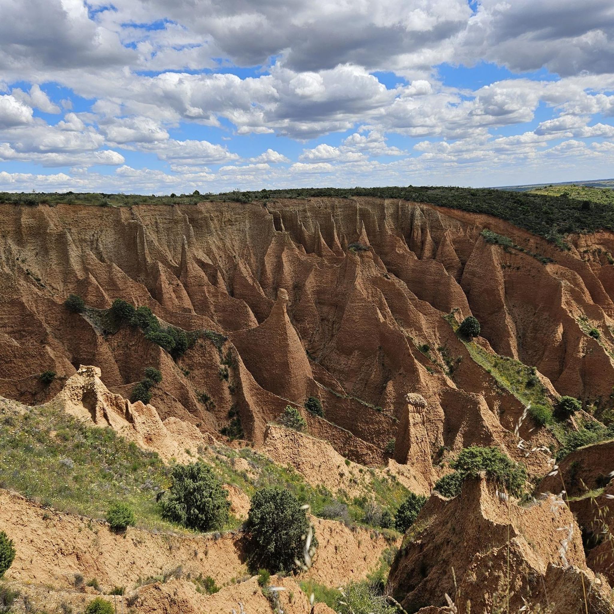
Road Cycling Routes in Sierra Norte De Guadalajara
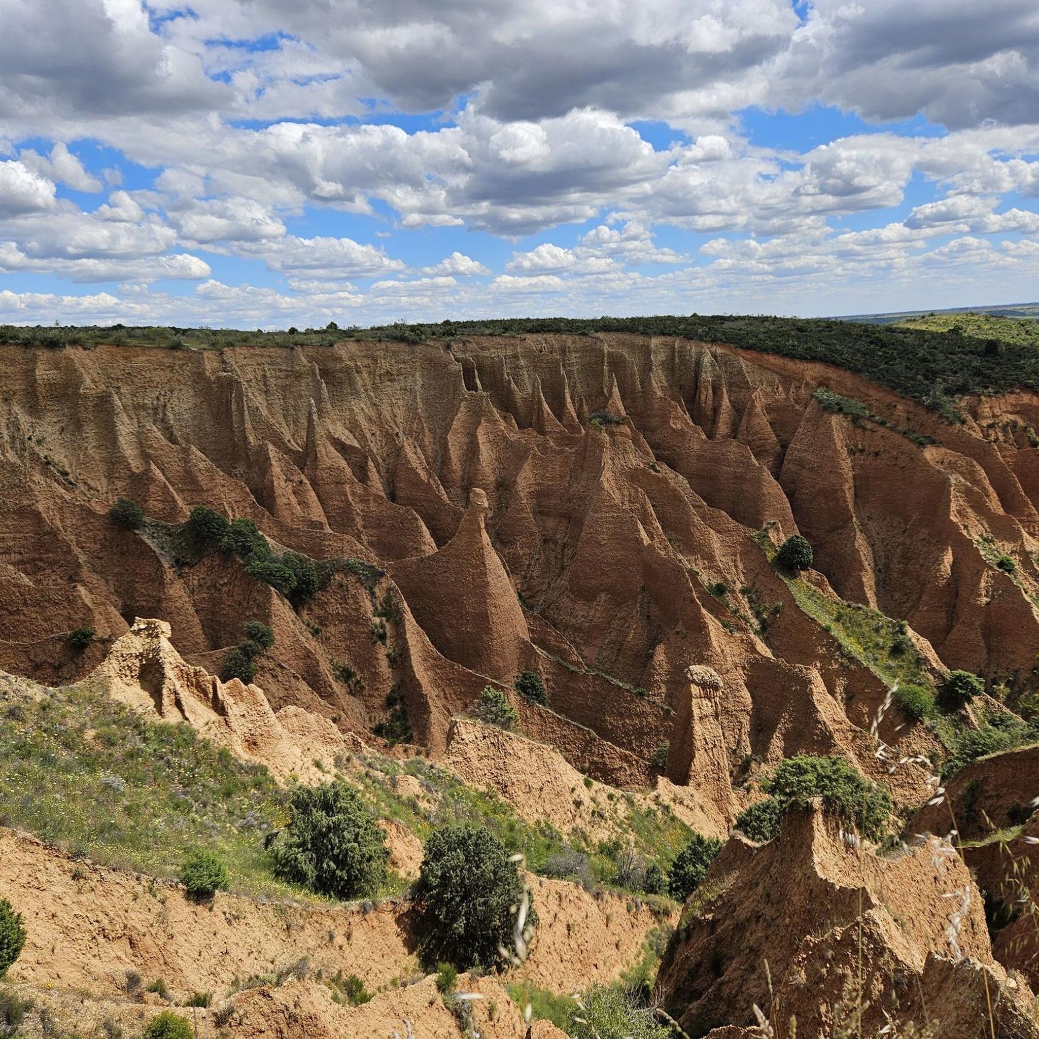
Cycling in Sierra Norte De Guadalajara
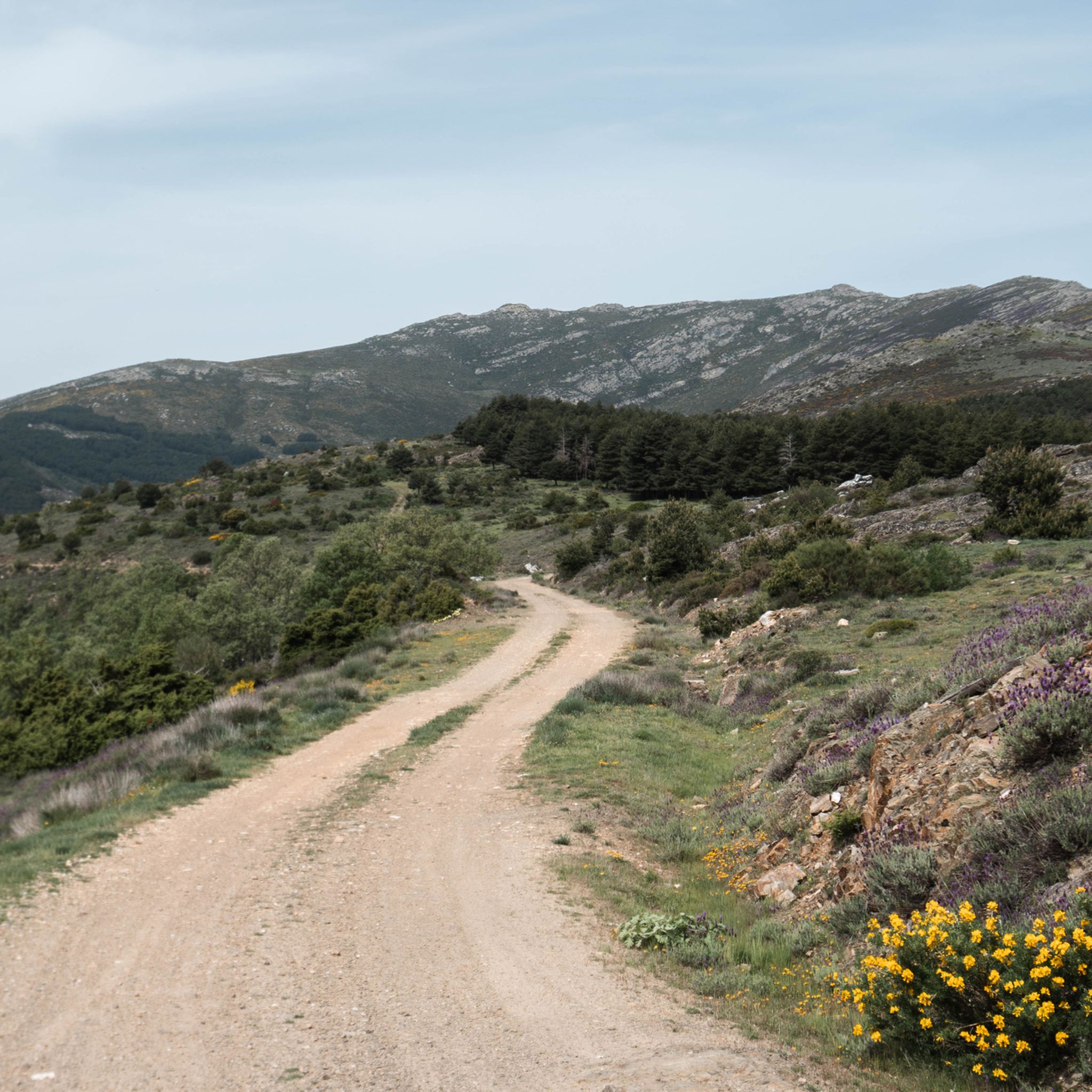
MTB Trails in Sierra Norte De Guadalajara
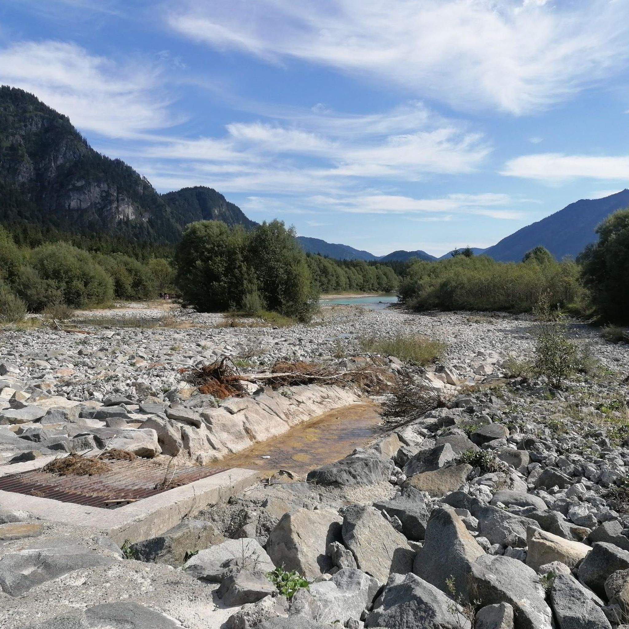
Gravel biking in Sierra Norte De Guadalajara
Other adventures in Sierra Norte De Guadalajara


Tips from the Community

The most popular route to ascend Pico Ocejón begins in Valverde de los Arroyos and is known for its scenic beauty and moderate difficulty. The hike is approximately 14.74 km and typically takes around 6 hours with stops. Along the way, hikers can enjoy spectacular views and the rich biodiversity of the area.
6
0

The climb is hard, but it is worth it. Although we were not lucky enough to see all the scenery that should be seen from that height. The descent is almost harder than the ascent.
1
0
A picturesque village among the black villages of Guadalajara. The food is great and it is a good starting point for hiking and mountain biking excursions.
1
0

start from the dam
1
0
The route that passes through the Puente de los Trillos is known for its natural landscapes and traditional black architecture. It is an excellent option for hiking lovers looking to explore the Sierra Norte of Guadalajara.
4
0
At 2049 metres above sea level, it is one of the highest and most popular peaks for hiking in the region. There are several routes to climb Pico Ocejón, the most common being those starting from Majaelrayo and Valverde de los Arroyos. Both routes offer stunning landscapes and the opportunity to enjoy nature at its best.
6
0

Beautiful place where people go for a walk or to climb.
1
0
The Pontón de la Oliva is a Spanish dam located in the Ayllón mountain range, northeast of the Community of Madrid and northwest of the province of Guadalajara. It was built in 1857 and is currently disused. This dam is the sixth and last in the course of the Lozoya River, and is the oldest of the entire system of dams and canalizations of the Canal de Isabel II. This canal supplies drinking water to Madrid and a large part of the community. The height of the Pontón de la Oliva Dam is approximately 30 meters. If you are interested in exploring the area, there are routes that take you to the Cárcavas de Pontón de la Oliva, a curious geological formation in the Community of Madrid. In addition, you can enjoy a route along the Pontón de la Oliva to the Lozoya River, which offers impressive views. I hope you find this information interesting! 😊
4
0
Frequently Asked Questions
What prominent natural features can I explore in Sierra Norte de Guadalajara?
The Sierra Norte de Guadalajara is rich in natural beauty. You can discover the extensive Sierra Norte de Guadalajara Natural Park, which includes the Ayllón and Pela mountain ranges, offering diverse geology with ridges, valleys, and canyons. Highlights include the ancient Pico Ocejón, a popular peak for hiking, and the unique Pontón de la Oliva Dam and Cliffside Pathways, set amidst natural landscapes. The region is also home to the Pelagallinas River Reserve and various river basins like the Jaramilla and Jarama.
Where can I experience the unique 'Black Architecture' of the region?
The 'Black Architecture' is a distinctive feature of Sierra Norte de Guadalajara, characterized by villages built with local slate and quartzite. A prime example is Valverde de los Arroyos, where slate roofs are interspersed with quartzite, creating golden tints. Another village showcasing this fascinating popular architecture is Roblelacasa, known for its chaotic grouping of slate houses and buildings.
Are there any significant historical sites or monuments to visit?
Yes, the region offers several historical sites. The Pontón de la Oliva Dam is Madrid's oldest dam, built during the reign of Isabel II. You can also visit the Trillos Bridge over the Jarama River, known for its natural landscapes and traditional black architecture. Other notable sites include the Hermitage of Santa Coloma in Albendiego, an example of Romanesque art, and the Gothic-style Bonaval Monastery in Retiendas.
What kind of outdoor activities can I enjoy in Sierra Norte de Guadalajara?
Sierra Norte de Guadalajara is a haven for outdoor enthusiasts. You can find numerous routes for hiking, road cycling, and gravel biking. For instance, there are challenging waterfall hikes like the Pico Ocejon via the Chorrera Despenalagua, or scenic road cycling routes such as the Black Architecture Villages Loop. Explore more options on the waterfall hikes guide, road cycling guide, or gravel biking guide for the area.
Can I find challenging hiking trails in the area?
Absolutely. The region is known for its challenging terrain, especially around its peaks. Pico Ocejón, at 2049 meters, is a popular and challenging ascent, with routes often starting from Majaelrayo and Valverde de los Arroyos. The Pico Ocejon via the Chorrera Despenalagua is another difficult hike. You can find more challenging routes in the waterfall hikes guide.
Are there family-friendly attractions or activities available?
While many attractions focus on nature and history, some villages like Valverde de los Arroyos are considered family-friendly, offering a chance to stroll through unique architecture and visit the Ethnological Museum. Exploring the less strenuous parts of the natural park and its visitor centers can also be suitable for families.
What is the Hayedo de Tejera Negra Natural Park, and why is it significant?
The Hayedo de Tejera Negra Natural Park, integrated into the larger Sierra Norte park, is one of Europe's southernmost beech forests. It is a UNESCO World Heritage Site, renowned for its ancient beech trees and unique ecological value, largely preserved due to its historical inaccessibility.
What is the highest peak in Sierra Norte de Guadalajara, and can I hike it?
The highest peak in Castilla-La Mancha, located within the Sierra Norte de Guadalajara Natural Park, is Pico del Lobo at 2,273 meters. While challenging, it is possible to hike, often remaining snow-covered. Another popular high peak for hiking is Pico Ocejón (2049 meters), with common routes starting from Majaelrayo and Valverde de los Arroyos.
Are there any unique geological formations worth seeing?
Yes, the region boasts several interesting geological formations. The Mingo Negro Gullies (Cárcavas de Mingo Negro) in Alpedrete de la Sierra are striking reddish erosive landforms. At higher altitudes, you can find glacial cirques, such as those at Pico del Lobo, remnants of ancient glacial activity. The area also features unique limestone formations, creating 'enchanted city' landscapes like those near Tamajón.
What is the best time of year to visit Sierra Norte de Guadalajara?
The Sierra Norte de Guadalajara offers different experiences throughout the year. Spring and autumn are generally ideal for hiking and exploring, with pleasant temperatures and vibrant natural colors, especially in the beech forests like Hayedo de Tejera Negra. Summer is great for enjoying the rivers and reservoirs, while winter offers snow-covered peaks for those seeking challenging cold-weather activities.
What cultural heritage can I discover beyond the 'Black Architecture' villages?
Beyond the distinctive 'Black Architecture,' the region has a rich cultural heritage. You can explore examples of Rural Romanesque art, such as the Hermitage of Santa Coloma in Albendiego. The area also has a history tied to mining, particularly evident in places like Hiendelaencina, which experienced a silver exploitation boom in the 19th century. Traditional crafts like woodworking, pottery, and textile weaving are still practiced by local artisans.
Where can I find information about the Sierra Norte de Guadalajara Natural Park upon arrival?
The Sierra Norte de Guadalajara Natural Park has four official visitor centers that serve as excellent starting points for planning your visit and learning about the area. These centers are located in Cantalojas, Cogolludo, El Cardoso de la Sierra, and Hiendelaencina, providing valuable information on routes, flora, and fauna.
Most popular routes in Sierra Norte De Guadalajara
Most popular attractions in Sierra Norte De Guadalajara

Get inspired with the komoot mobile app


Explore more
Still not found the Highlight you’re looking for? See guides of the top attractions in other regions:
