The best walks and hikes in Sierra De Guadarrama
4.6
(6908)
41,312
hikers
164
hikes
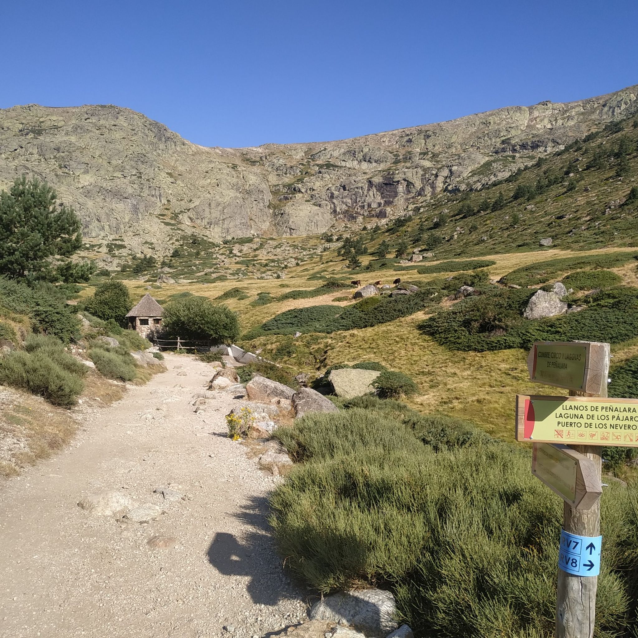
Hiking in Sierra De Guadarrama National Park offers a diverse landscape of rugged mountain peaks, extensive forests, and unique granite formations. The region is dominated by high summits like Peñalara, the highest point at 2,428 meters, and features areas such as La Pedriza, known for its massive granite rock formations. Pine and oak forests cover many valleys and slopes, while glacial lakes and alpine meadows are found at higher elevations. This varied terrain provides a wide range of hiking experiences.
Best hiking trails in Sierra De Guadarrama
- The most popular hiking route is Peñalara Circular Trail, an 8.0 miles (12.9 km) trail that takes 5 hours 12 minutes to complete. This difficult route ascends towards the park's highest peak, offering panoramic views.
- Another top favourite among local hikers is Guadarrama National Park - circular to Peñalara from Cotos via the Peñalara Glacial Circus, a moderate 6.6 miles (10.7 km) path. This trail explores the glacial cirque and lakes around Peñalara.
- Local hikers also love the Pedriza y Yelmo — circular desde Canto Cochino por GR 10, a 5.8 miles (9.4 km) trail leading through the distinctive granite landscapes of La Pedriza, often completed in about 4 hours 17 minutes.
- Hiking in Sierra De Guadarrama is defined by rugged mountain peaks, unique granite formations, and extensive pine forests. The network offers options for various ability levels, from moderate forest paths to challenging high-mountain ascents.
- The routes in Sierra De Guadarrama are highly rated by the komoot community with an average score of 4.6 stars from over 1,900 reviews. More than 13,000 hikers have used komoot to explore Sierra De Guadarrama's varied terrain.
Last updated: September 30, 2026
4.8
(168)
1,105
hikers
12.9km
05:12
580m
580m
Hard hike. Very good fitness required. Sure-footedness, sturdy shoes and alpine experience required.
4.6
(107)
784
hikers
Moderate hike. Good fitness required. Mostly accessible paths. Sure-footedness required.

4.6
(22)
234
hikers
9.38km
04:17
560m
560m
Hard hike. Good fitness required. Sure-footedness, sturdy shoes and alpine experience required.
4.6
(21)
90
hikers
7.09km
02:40
290m
280m
Moderate hike. Good fitness required. Mostly accessible paths. Sure-footedness required.
4.9
(14)
103
hikers
6.48km
02:33
280m
280m
Moderate hike. Good fitness required. Mostly accessible paths. Sure-footedness required.
Get access to more routes and recommendations from other explorers.
Already have an account?
Our route recommendations are based on thousands of hikes, rides, and runs completed by other people on komoot.
Start today with a free account
Your next adventure awaits.

Tips from the Community

Easily accessible from Cotos, a very quiet place with exceptional views of Lozoya. Very suitable for stopping to have a sandwich and breathe in the fresh air.
0
0

The traverse between Peñalara and Claveles, or vice versa, requires skill and good footwear. Wet rock, and especially snow or ice, can make it much more difficult. Roped up is advisable in the worst conditions.
0
0

Charca Verde is one of the most iconic and beautiful spots in La Pedriza, in the Sierra de Guadarrama National Park. It is a pool of crystal-clear, emerald-green water, formed by the Manzanares River and surrounded by large granite boulders.
15
0

Just seeing the colors is worth it. Swimming is prohibited.
0
1
Laguna Grande de Peñalara is the largest glacial lagoon in the Sierra de Guadarrama, located at an altitude of 2,017 meters in the National Park. Origin: Glacier, formed about 40,000 years ago. Size: 5,779 m² in surface area and 4.8 m in maximum depth. Water: Crystal-clear, very pure, and cold, it remains frozen for about 4 months a year. Fauna: Home to the pygmy newt and the long-tailed salamander, and a refuge for migratory birds such as the Spanish imperial eagle and the black vulture. Flora: Surrounded by alpine vegetation. Importance: High-mountain ecosystem of great ecological value. Included in the Ramsar List of Wetlands of International Importance. Maximum protection zone within the National Park. Restrictions: Limited access in some areas for protection. * Swimming, camping outside of designated areas, and leaving trails are prohibited. * Specific regulations apply to pets and drones.
0
0

Key parking for both the climbing routes and the Pedriza routes
1
0

True! A good place to observe the peaks of the Cuerda Larga and learn the names of the peaks. The route along the Cuerda Larga is spectacular, but you can see how much snow there is now. The route is very beautiful, but it does involve some risk, but when it thaws, the route is safer. But with good equipment, the snow is incredibly attractive.
0
0
Frequently Asked Questions
How many hiking trails are available in Sierra de Guadarrama?
Sierra de Guadarrama offers a wide variety of hiking experiences, with over 130 routes available on komoot. These range from easy strolls to challenging high-mountain ascents, catering to all skill levels.
What kind of terrain can I expect on hikes in Sierra de Guadarrama?
The terrain in Sierra de Guadarrama is incredibly diverse. You'll find rugged mountain peaks, extensive pine and oak forests, and unique granite formations, particularly in areas like La Pedriza. Higher elevations feature glacial lakes and alpine meadows, offering varied landscapes for every hike.
Are there any easy, family-friendly hiking options in Sierra de Guadarrama?
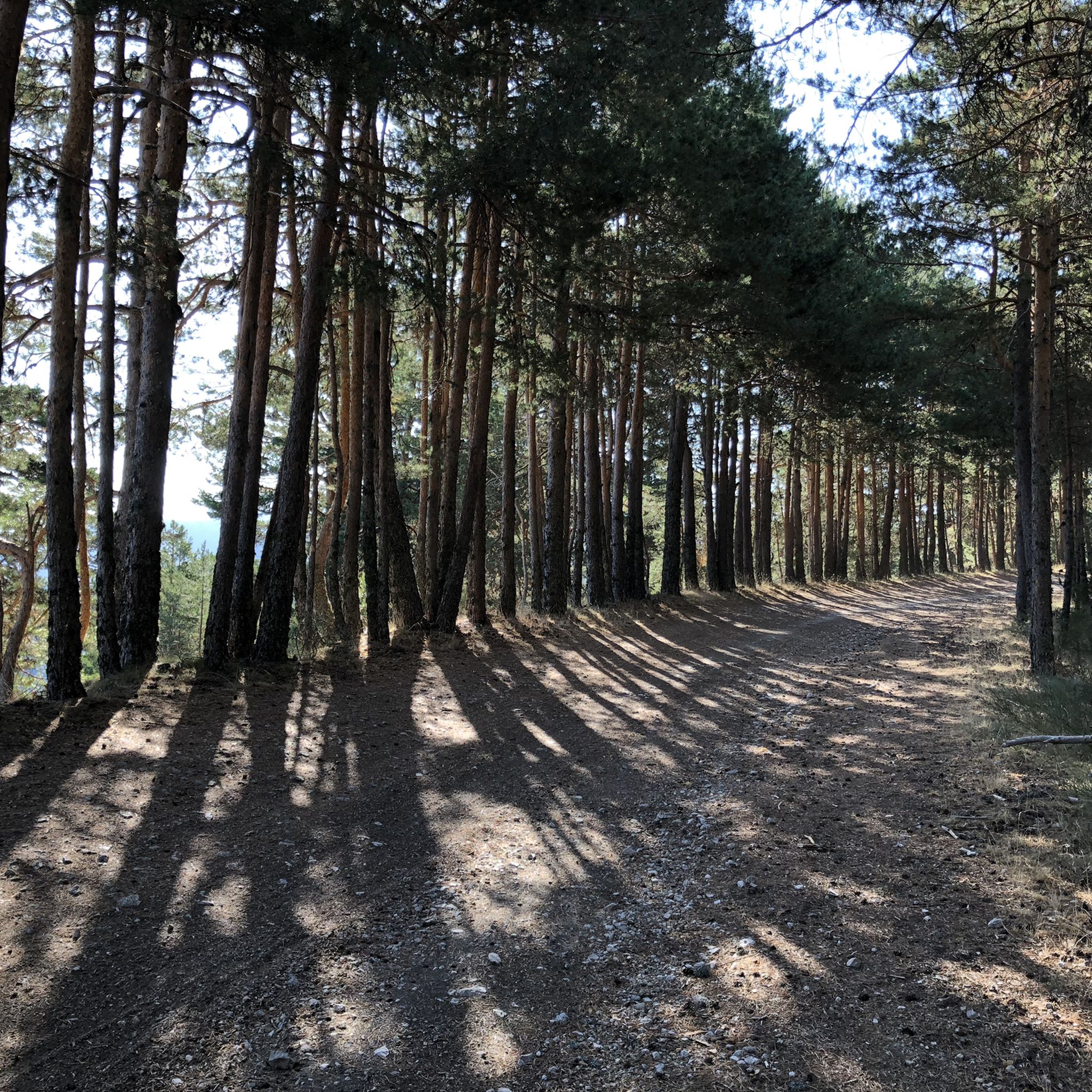
Yes, Sierra de Guadarrama has routes suitable for families. While specific easy routes are fewer, many moderate trails can be adapted or enjoyed by families. The Fuenfría Valley, for instance, is known for its shaded pine forest trails, which are ideal for summer and generally less strenuous. Look for routes with lower elevation gain and shorter distances for a more relaxed experience.
Where can I find circular hiking routes in Sierra de Guadarrama?
Many of the trails in Sierra de Guadarrama are circular, allowing you to start and end at the same point. For example, the challenging Peñalara Circular Trail offers stunning views, while the moderate La Pedriza Circular Trail explores the unique granite landscapes.
What are some notable natural attractions or landmarks to see while hiking?
Sierra de Guadarrama is rich in natural beauty. You can explore the dramatic Peñalara Glacial Cirque, ascend to the Seven Peaks for panoramic views, or visit the serene Lake of the Birds. The unique granite formations of La Pedriza, including features like El Elefantito rock formation, are also popular highlights.
Are there any challenging hikes for experienced trekkers?
Absolutely. Sierra de Guadarrama offers several challenging routes for experienced hikers. The Peñalara Circular Trail, ascending towards the park's highest peak, is a difficult route with significant elevation gain. Another demanding option is the Pedriza y Yelmo — circular desde Canto Cochino por GR 10, which navigates the rugged granite terrain of La Pedriza.
What do other hikers say about the trails in Sierra de Guadarrama?
The trails in Sierra de Guadarrama are highly regarded by the komoot community, with an average rating of 4.6 stars from over 1,900 reviews. Hikers frequently praise the stunning mountain scenery, the well-maintained paths, and the diverse natural features, from forests to glacial lakes.
Is it possible to reach hiking trailheads using public transport?
Yes, Sierra de Guadarrama is well-connected to Madrid, making it accessible by public transport. Towns like Cercedilla, Navacerrada, and Rascafría serve as good starting points and can be reached by train or bus, providing access to various trailheads within the park.
Are there specific areas known for waterfalls or water features?
While seasonal, higher elevations in Sierra de Guadarrama feature streams and occasional waterfalls, especially after rainfall or snowmelt. The crystal-clear, emerald-green waters of Charca Verde in La Pedriza, formed by the Manzanares River, are a notable and popular water feature for visitors.
What is the best season for hiking in Sierra de Guadarrama?
Sierra de Guadarrama offers hiking opportunities year-round, but the best season depends on your preference. Spring brings vibrant alpine meadows and pleasant temperatures. Summer is ideal for shaded forest trails in valleys like Fuenfría. Autumn showcases beautiful fall foliage, while winter offers snowshoeing and skiing, though some high-altitude trails may require specialized gear and experience.
Can I find viewpoints with panoramic scenery along the trails?
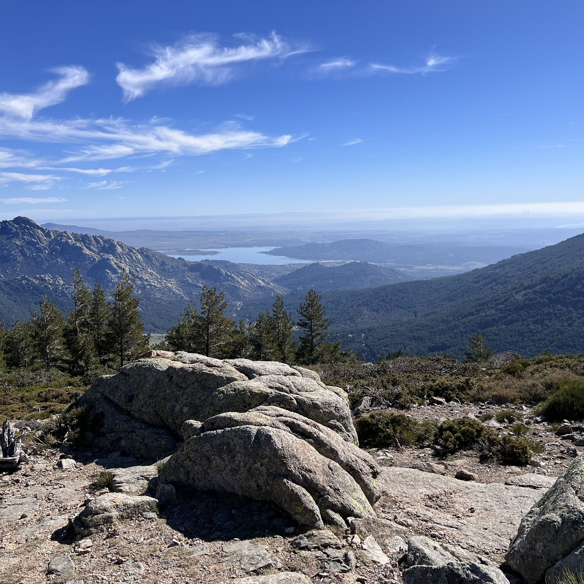
Yes, Sierra de Guadarrama is renowned for its breathtaking panoramic views. Many trails lead to high peaks and ridges, offering expansive vistas of the surrounding mountains and valleys. The Mirador de la Gitana is one such viewpoint, providing excellent photographic opportunities.
Most popular routes in Sierra De Guadarrama
Most popular attractions in Sierra De Guadarrama

Get inspired with the komoot mobile app


Explore more
Browse the best Hikes in other regions.
