The best cycling routes in Cadí-Moixeró
4.6
(137)
8,602
riders
352
rides
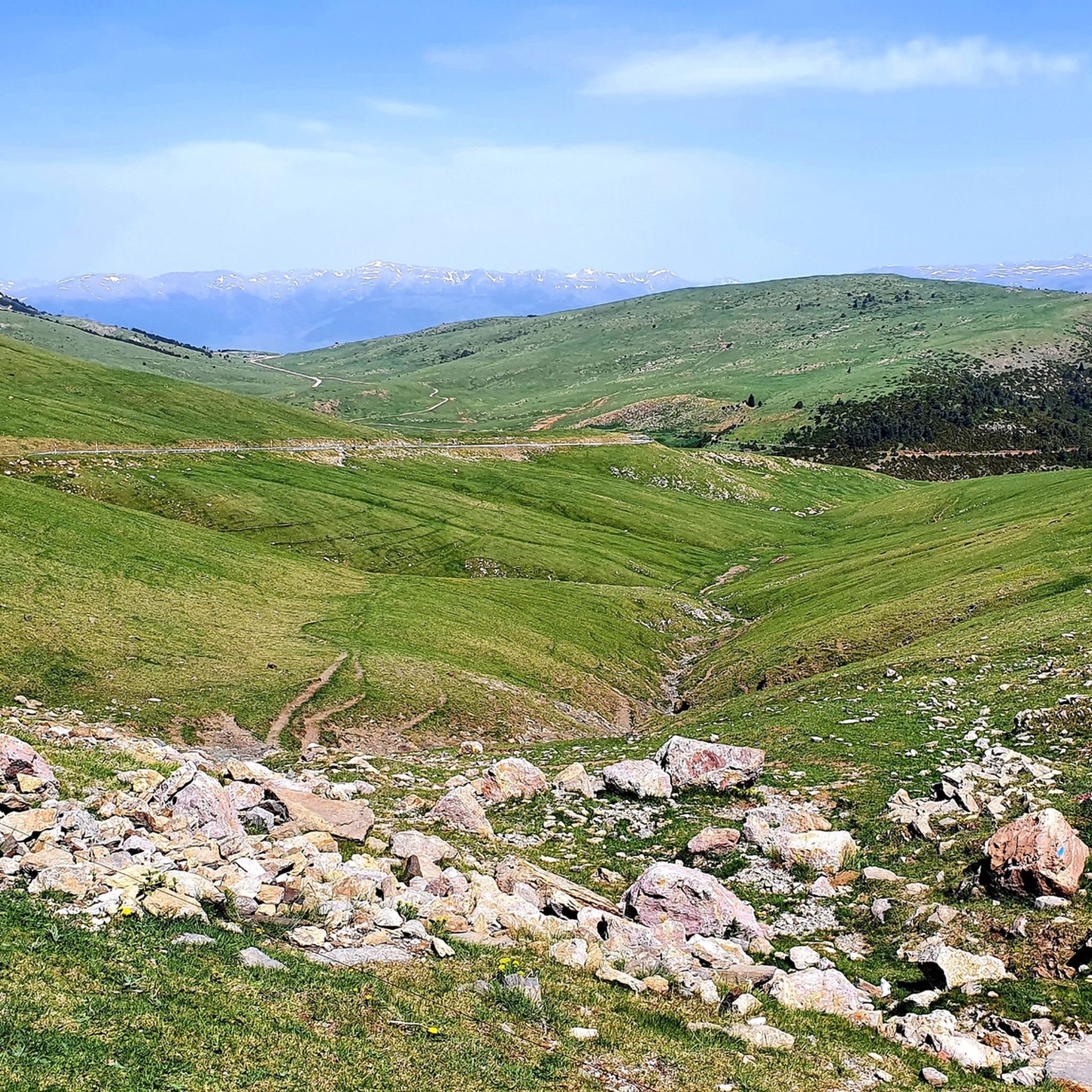
Touring cycling in Cadí-Moixeró Natural Park is characterized by its mountainous terrain, featuring the Cadí and Moixeró ranges with peaks exceeding 2,500 meters and valleys at 900 meters above sea level. The landscape includes steep cliffs, extensive forests of oak, black pine, and beech, alongside vast meadows. Routes often involve significant elevation gains, traversing high mountain passes and connecting various valleys. The park's diverse topography provides a challenging environment for touring cyclists.
Best touring cycling routes in Cadí-Moixeró
- The most…
Last updated: October 1, 2026
20
riders
12.9km
01:13
260m
260m
Hard bike ride. Good fitness required. You may need to push your bike for some segments of this route.
2.0
(1)
9
riders
26.7km
02:31
880m
880m
Hard bike ride. Very good fitness required. Mostly paved surfaces. Suitable for all skill levels.

66
riders
Hard bike ride. Very good fitness required. Mostly paved surfaces. Suitable for all skill levels.
45
riders
49.4km
03:59
1,450m
1,450m
Hard bike ride. Very good fitness required. Mostly paved surfaces. Suitable for all skill levels.
36
riders
81.6km
06:22
2,260m
2,260m
Hard bike ride. Very good fitness required. You may need to push your bike for some segments of this route.
Get access to more routes and recommendations from other explorers.
Already have an account?
Our route recommendations are based on thousands of hikes, rides, and runs completed by other people on komoot.
Start today with a free account
Your next adventure awaits.
Popular around Cadí-Moixeró

Great multi-day treks near Barcelona
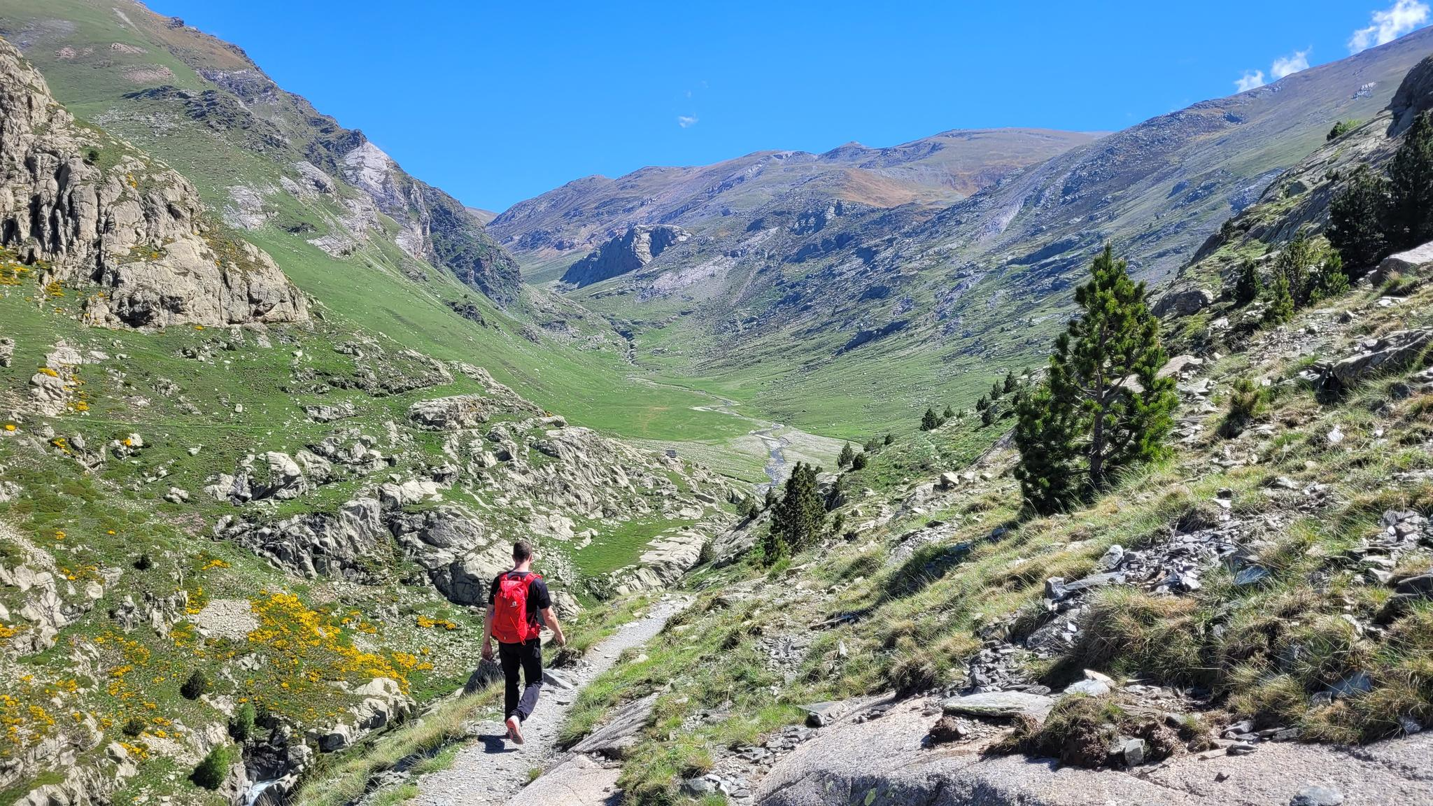
10 hikes with teenagers — Catalan paradises
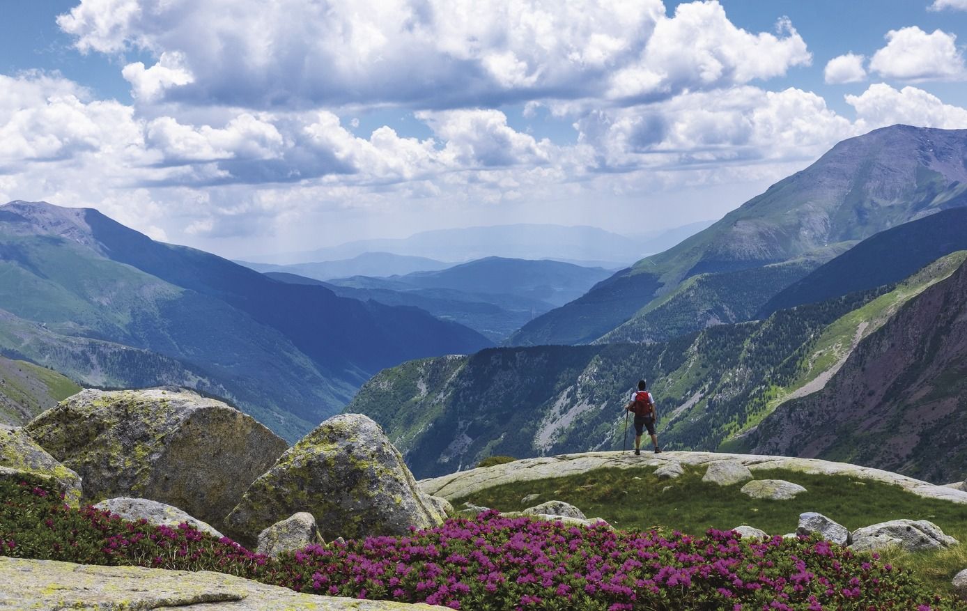
Great Hiking Routes of Catalonia
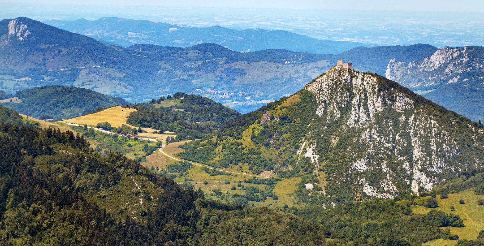
Cathar Route from Catalonia to France – Bons Homes Path (GR 107)
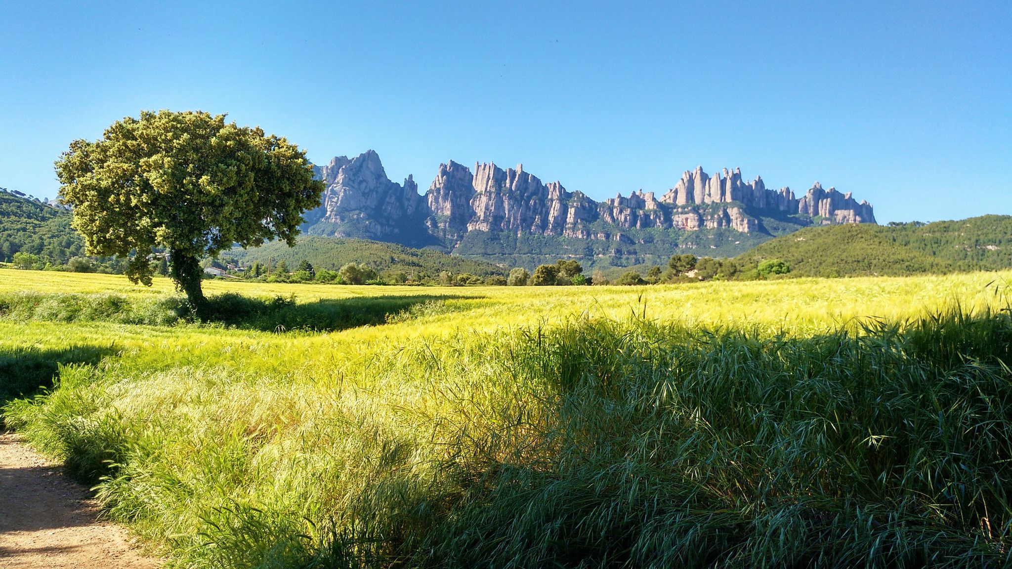
On foot from France to Montserrat – GR 4
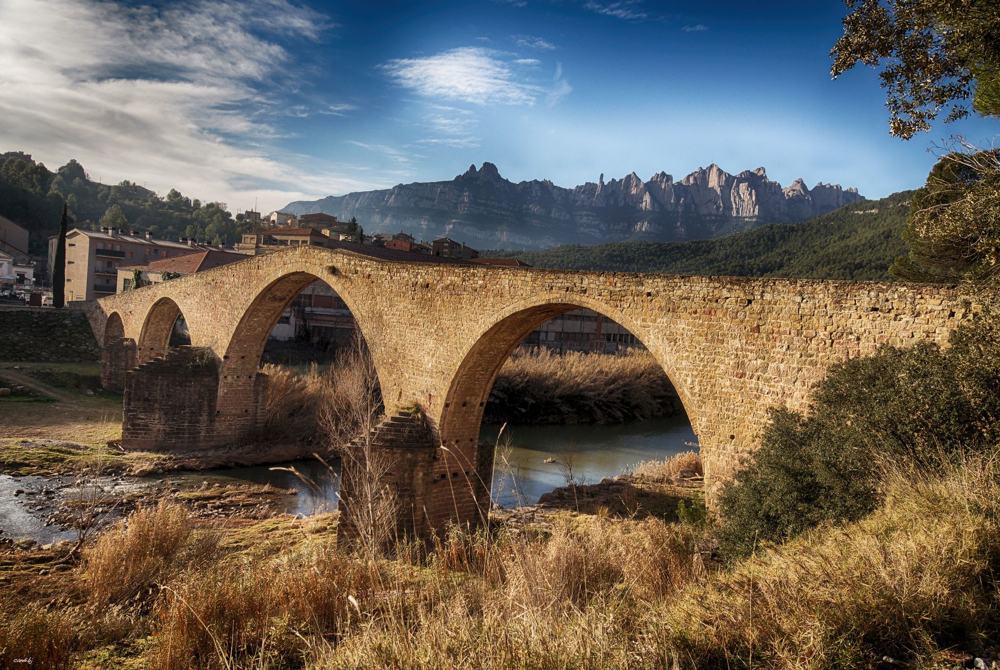
The river of Barcelona – El Camí del Llobregat
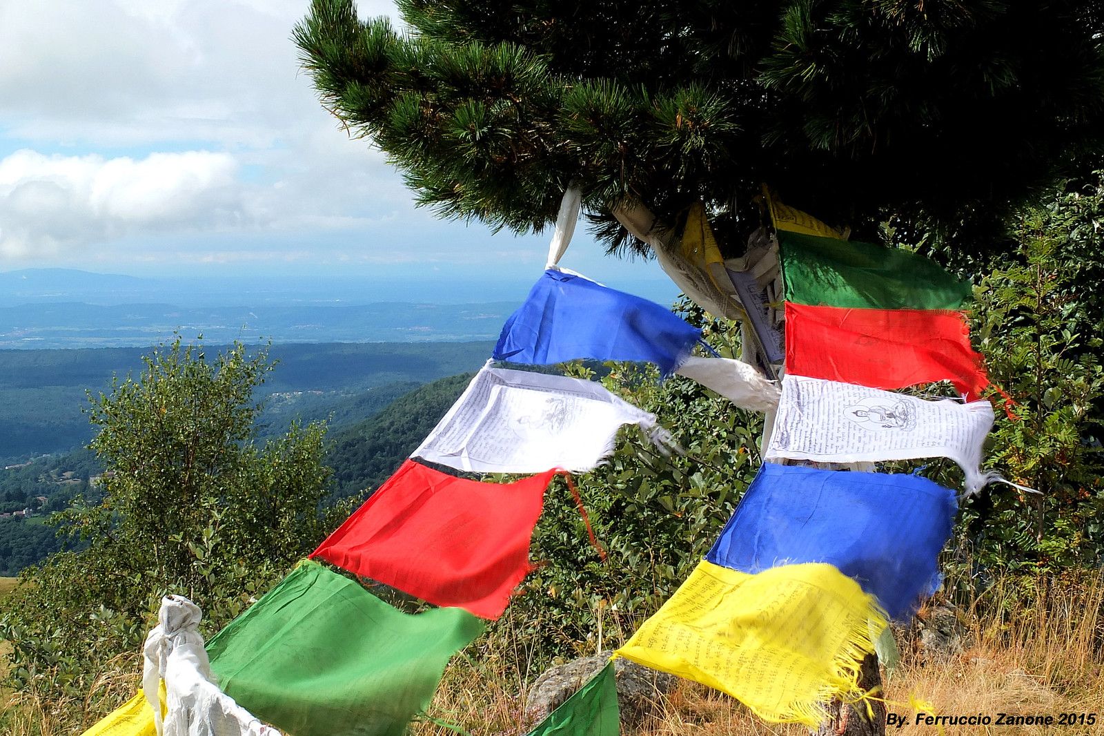
The symbol of Nepal in the Pyrenees – Cavalls del Vent
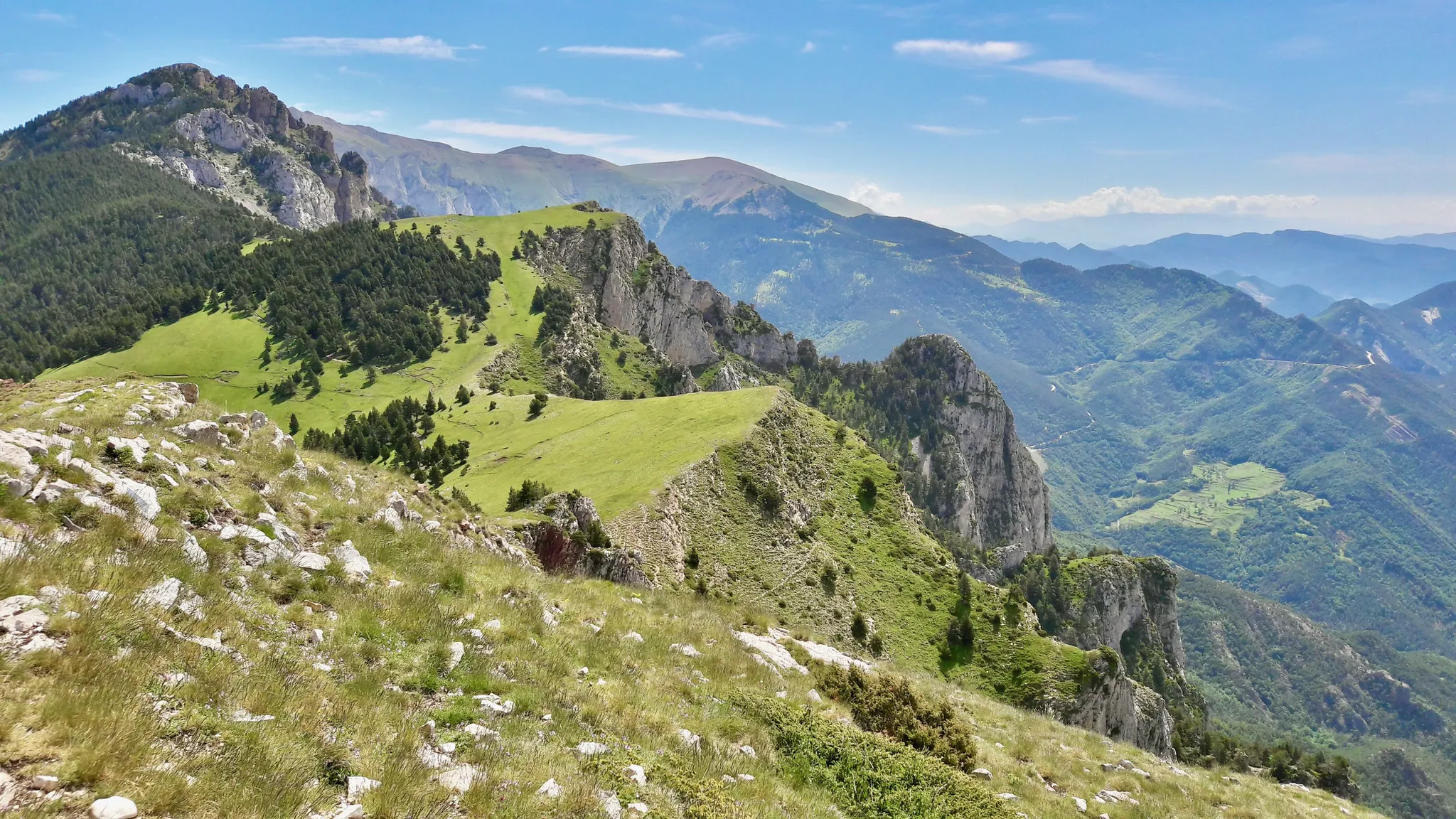
Hiking in Cavalls del Vent — Spain’s Parque Natural Cadí-Moixeró
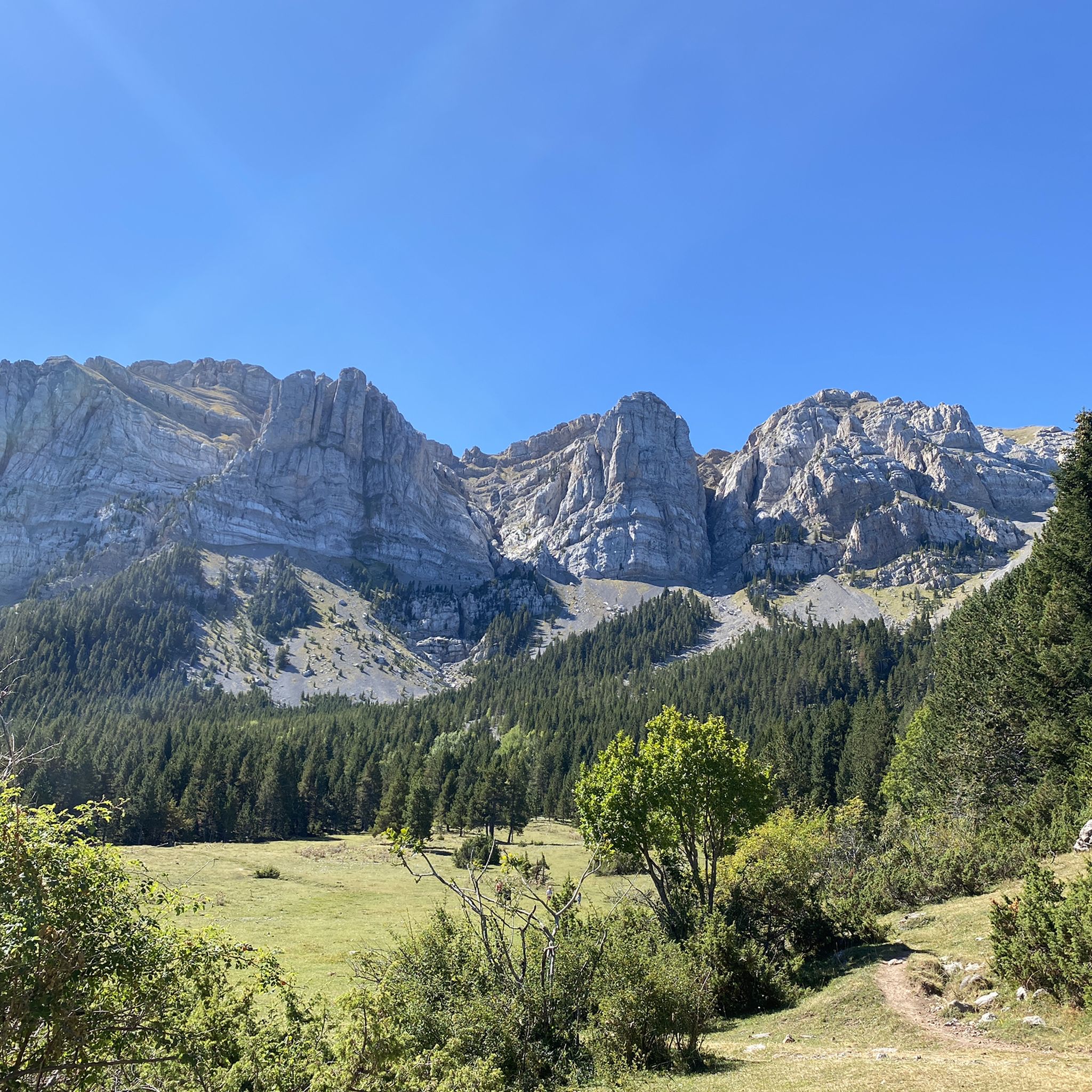
Hiking in Cadí-Moixeró
Road Cycling Routes in Cadí-Moixeró
Other adventures in Cadí-Moixeró


Tips from the Community

This section of the Via del Nicolau runs along a path under the foliage and is very pleasant. It has no difficulty and is perfect for a family walk.
1
0
La iglesia románica de Sant Joan de l'Avellanet es un templo del siglo X cuyo exterior se encuentra muy bien conservado. Además, su localización entre la Vía del Nicolau y el bosque le da aún más encanto.
0
0

El Coll de Pal is a spectacular mountain pass of special category located at 2,106 meters above sea level, in the municipality of Bagà (Barcelona). It serves as a natural division between the regions of Berguedà and Cerdanya. From the south side it is all asphalted and very accessible, but its north side is very tough, as you have to climb the ski slopes of the La Molina station with ramps of up to 30%, although the views are spectacular at all times to the summit.
1
0
Guarded refuge where you can stop to eat or drink water.
0
0
The Coll de Pradell is one of the most demanding and spectacular ascents in Berguedà. The road winds through forests, meadows, and old mining landscapes, witnesses to the intense coal mining activity that marked the history of this region for over a century. Today, silence has replaced the noise of the mines, but the landscape still bears the mark of that industrial past while rewarding the effort with magnificent views over the Pre-Pyrenean mountains.
0
0

Small refuge located at 1,510m within the Cadí-Moixeró Natural Park. It is reached by a forest track with quite a steep slope, suitable for mountain biking. It is a good stop to rest, eat or spend the night if you are doing long routes like Cavalls del Vent. It has basic services: bunk beds with mattresses and blankets, showers, dining area and kitchen. If it is open, it offers half board; if it is closed, it can be used as an emergency shelter. It is not a spectacular place, but it is useful and well located if you happen to be passing by.
2
1

The views of the Cadí-Moixeró Mountains from this section are incredible. Sometimes you'll leave the mist in the valley and see the snow-capped mountains in the distance. Other times, you'll get a glimpse of the entire panorama.
0
0

The gradient is impressive. It's worth it.
0
0
Frequently Asked Questions
How many touring cycling routes are available in Cadí-Moixeró?
Cadí-Moixeró offers a wide selection of touring cycling routes, with over 320 options available. These range from moderate to very challenging, catering to various fitness levels.
What is the general difficulty level for touring cycling in Cadí-Moixeró?
The majority of touring cycling routes in Cadí-Moixeró are considered difficult, making up over 230 of the available tours. There are also around 70 moderate routes and a smaller selection of approximately 20 easy routes, ensuring options for different experience levels.
What kind of terrain can I expect on touring cycling routes in Cadí-Moixeró?
Touring cycling in Cadí-Moixeró is characterized by its mountainous terrain, featuring impressive ranges like Cadí and Moixeró. You'll encounter significant elevation gains, deep valleys, and extensive forests of oak, black pine, and beech. Some routes may include unpaved segments, adding to the challenge and natural experience.
Are there any circular touring cycling routes in Cadí-Moixeró?
Yes, there are several circular touring cycling routes. A popular option is the Pedraforca 360º - circular by the Cadí-Moixeró Natural Park, which circles the iconic Pedraforca massif. Another challenging circular route is the Collada de Sobirana – Bagà loop from Bagà.
What are some notable natural features or landmarks I can see while cycling?
Cadí-Moixeró is rich in natural beauty and cultural heritage. Along your rides, you can admire the steep cliffs of the Cadí Range, the sources of the Bastareny river, and the iconic Pedraforca massif. You might also encounter high-mountain refuges like Niu de l'Àliga Refuge or Lluís Estasen Refuge, and pass through charming medieval villages.
Is Cadí-Moixeró suitable for family touring cycling?
While many routes in Cadí-Moixeró are challenging with significant elevation, there are approximately 20 easy touring cycling routes available. These might be more suitable for families or those seeking a less strenuous experience. It's advisable to check the specific route details for elevation and terrain before setting out with children.
What do other touring cyclists say about their experience in Cadí-Moixeró?
The touring cycling routes in Cadí-Moixeró are highly rated by the komoot community, with an average score of 4.7 stars from over 100 reviews. More than 8,500 touring cyclists have explored the varied terrain, often praising the stunning mountain landscapes and the challenging yet rewarding rides.
What is the best time of year for touring cycling in Cadí-Moixeró?
The best time for touring cycling in Cadí-Moixeró is generally from spring to autumn. During these seasons, the weather is more favorable, and the high mountain passes are typically clear of snow. Winter cycling is possible but requires specific gear and experience due to cold temperatures and potential snow at higher elevations.
Are there any specific regulations or permits needed for cycling in Cadí-Moixeró Natural Park?
Cadí-Moixeró is a Natural Park, and while general cycling is permitted on designated routes, it's always good practice to be aware of specific park regulations, especially concerning protected areas or sensitive habitats. For detailed information on any permits or specific rules, you may consult the official park information, such as the resources available on visitpirineus.com.
Can I find places to eat or stay near the cycling routes?
Yes, the region around Cadí-Moixeró Natural Park features medieval villages with traditional rural architecture, where you can find amenities. There are also several mountain refuges, such as Prat d'Aguiló Refuge, which provide shelter and amenities for cyclists venturing into the mountains. Many villages will offer cafes, restaurants, and accommodation options.
Are there routes that offer significant elevation challenges?
Absolutely. Cadí-Moixeró is known for its challenging rides with significant elevation gains. For example, the Pal Pass – Bagà loop from Saldes is a difficult 81.6 km path with substantial elevation gain. Another demanding option is the Col de la Creueta – Soler Bridge (Segre River) loop from Bagà, which covers nearly 150 km and features over 2,800 meters of ascent.
What are some of the highest points or passes accessible by bike?
The park features peaks exceeding 2,500 meters. While not all peaks are bike-accessible, routes often traverse high mountain passes. For instance, the Coll de Merolla – Castellar de n'Hug loop from Sant Sebastià del Sull includes the Coll de Merolla, offering a high-altitude cycling experience. You can also find highlights like Gosolans Pass and El Collell Pass.
Most popular routes in Cadí-Moixeró
Most popular attractions in Cadí-Moixeró

Get inspired with the komoot mobile app


Explore more
Browse the best Cycling routes in other regions.
