The best walks and hikes around Río Zújar
4.7
(3)
29
hikers
15
hikes
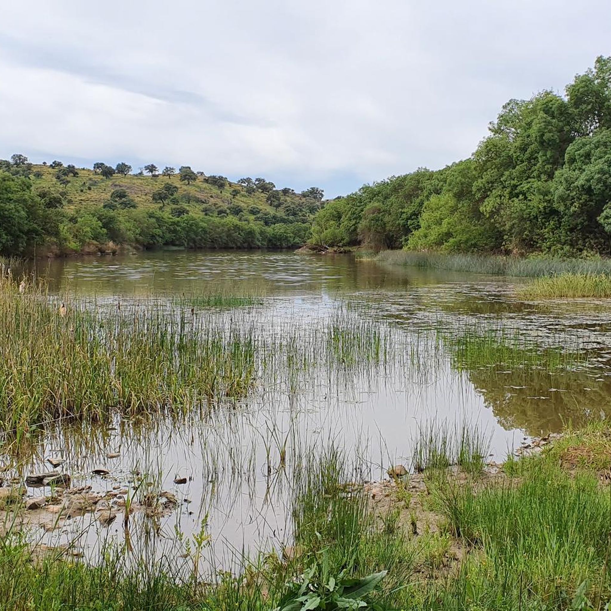
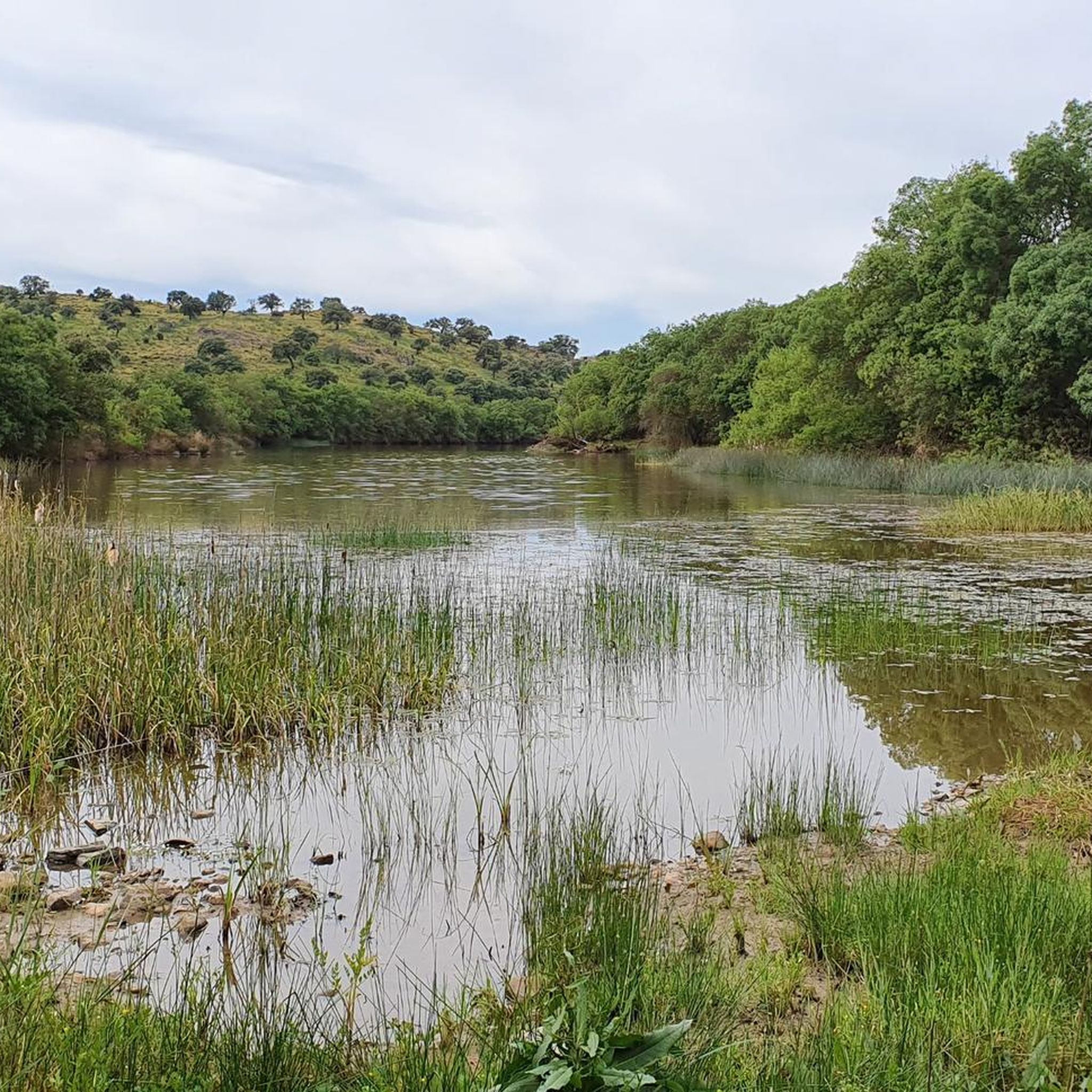
Hiking around Río Zújar offers a variety of trails through the Pedroches region, characterized by rolling hills, open landscapes, and the presence of the Río Zújar itself. The area features a mix of agricultural land, dehesa woodlands, and occasional rocky outcrops, providing diverse scenery for outdoor activities. Hikers can explore valleys, hills, and natural areas, with routes often following historical paths or leading to scenic viewpoints.
Best hiking trails around Río Zújar
- The most popular hiking route is Cabeza del…
Last updated: July 16, 2026
5.0
(1)
2
hikers
14.7km
04:24
430m
430m
Moderate hike. Good fitness required. Easily-accessible paths. Suitable for all skill levels.
2
hikers
3.51km
01:03
110m
110m
Easy hike. Great for any fitness level. Easily-accessible paths. Suitable for all skill levels.

Sign up for free
1
hikers
12.7km
03:42
340m
340m
Moderate hike. Good fitness required. Easily-accessible paths. Suitable for all skill levels.
1
hikers
18.7km
05:09
300m
300m
Hard hike. Very good fitness required. Easily-accessible paths. Suitable for all skill levels.
5.43km
01:42
210m
210m
Easy hike. Great for any fitness level. Easily-accessible paths. Suitable for all skill levels.
7
hikers
6.29km
01:37
30m
30m
Easy hike. Great for any fitness level. Easily-accessible paths. Suitable for all skill levels.
4.0
(1)
4
hikers
11.5km
03:04
130m
130m
Moderate hike. Good fitness required. Easily-accessible paths. Suitable for all skill levels.
5.0
(1)
3
hikers
10.7km
03:03
240m
240m
Moderate hike. Good fitness required. Easily-accessible paths. Suitable for all skill levels.
Get access to more routes and recommendations from other explorers.
Sign up for free
Already have an account?
Our route recommendations are based on thousands of hikes, rides, and runs completed by other people on komoot.
Start today with a free account
Your next adventure awaits.
Login or Signup

Tips from the Community

The Ermita del Calvario in Cabeza del Buey is a very special place of worship, located on top of a hill. This hermitage offers stunning views of the surrounding landscape. The route to the hermitage begins on Calle Oriente and winds along the slope of the Sierra del Pedregoso. Along the way, there are 14 crosses that symbolize the stops that Jesus made while carrying the cross before being crucified. The hermitage, built in the 18th century by the Gante family, has recently been restored and houses simple but beautiful paintings inside.
4
0

A stage destination on the Camino Mozarabe
0
1

Gravel hiking trail on the outskirts of the town of Monterrubio, surrounded by olive plantations, the mountain range above is in sight.
2
1
The Wolf Lagoon, as the myth goes, is a rock formation where water is collected during the rainy season and is believed to provide shelter and water to wild wolves. The place is located along the hiking trails outside Monterrubio de la Serena in the Sierra de Oro.
1
1
Monterrubio de la Serena is a small town on the Platou de la Serena in the foothills of the Sierra de Oro. A great natural outdoor hiking landscape to the southwest of the town.
2
1
The Almorchón train station has the Puertollano-Zafra regional line. A great place to start your hiking adventure in this area.
2
0
The path reaches the port of La Nava and the view of the valley opens up. The port is located between the peaks of the Sierra de la Osa and the Sierra de la Vaca, descending towards Almorchón or Cabeza del Buey.
1
0
Ruins of settlements from the Roman era and their love for the well-being provided by the hot thermal waters at the foot of the mountain of Puerto de la Nava.
1
0
Frequently Asked Questions
How many hiking trails are available around Río Zújar?
There are over a dozen hiking trails around Río Zújar, offering a variety of experiences through the Pedroches region. These routes range from easy strolls to more challenging treks, catering to different fitness levels.
Are there easy hiking trails suitable for beginners or families?
Yes, Río Zújar offers several easy hiking trails. For a gentle walk, consider the El Zurquillo Loop, which is 2.2 miles (3.5 km) and typically takes just over an hour. Another accessible option is the Calvary Route, an easy 3.4-mile (5.4 km) path.
What kind of terrain can I expect on the trails around Río Zújar?
The terrain around Río Zújar is characterized by rolling hills, open landscapes, and dehesa woodlands. You'll encounter a mix of agricultural land and occasional rocky outcrops, with many routes following historical paths or leading to scenic viewpoints over valleys and natural areas.
Are there any circular hiking routes in the Río Zújar area?
Yes, many trails in the Río Zújar area are circular, allowing you to start and end at the same point. Popular options include the Cabeza del Bouy — circular by Ermita del Calvario and Sierra de la Vaca, a 9.2-mile (14.7 km) route, and the Monterrubio de la Serena - Laguna de los Lobos Loop, which is 7.9 miles (12.7 km).
What is the best time of year to go hiking in Río Zújar?
Given the region's characteristics of open landscapes and rolling hills, spring and autumn are generally the most pleasant seasons for hiking around Río Zújar. Temperatures are milder, and the scenery is vibrant, avoiding the intense heat of summer or potential chill of winter.
Are the hiking trails around Río Zújar dog-friendly?
Many of the trails in the Río Zújar area are suitable for hiking with dogs, especially those traversing open landscapes and dehesa woodlands. It's always advisable to keep your dog on a leash, particularly when passing through agricultural areas or near livestock, and to carry enough water for both yourself and your pet.
What are some longer or more challenging hikes in the area?
For those seeking a more challenging experience, the Valle del Aliso Trail is a difficult 11.6-mile (18.7 km) route that takes approximately 5 hours to complete. This trail offers a more strenuous adventure through varied terrain.
What do other hikers enjoy most about hiking in Río Zújar?
The hiking experiences around Río Zújar are highly rated by the komoot community, with an average score of 4.5 stars. Hikers often praise the diverse scenery, from quiet dehesa woodlands to open landscapes, and the opportunity to explore historical paths and scenic viewpoints.
Are there any notable landmarks or points of interest along the hiking routes?
Yes, some routes pass by interesting landmarks. For instance, the Cabeza del Bouy — circular by Ermita del Calvario and Sierra de la Vaca route takes you near the Ermita del Calvario, offering a glimpse into local history and culture amidst the natural beauty.
What should I wear for hiking in Río Zújar?
Given the varied terrain of rolling hills and open landscapes, it's recommended to wear comfortable hiking shoes with good grip. Layers of clothing are advisable to adapt to changing temperatures, especially during spring and autumn. Don't forget sun protection, as many areas are exposed.
How long do the hikes typically take around Río Zújar?
The duration of hikes varies significantly. Shorter, easy trails like the El Zurquillo Loop can be completed in just over an hour. Moderate routes, such as the Monterrubio de la Serena - Laguna de los Lobos Loop, typically take around 3 hours 40 minutes, while longer, difficult trails can extend to 5 hours or more.
Most popular routes around Río Zújar

Get inspired with the komoot mobile app


Explore more
Browse the best Hikes in other regions.
