The best road cycling routes in Monte Faro
5.0
(1)
94
riders
21
rides
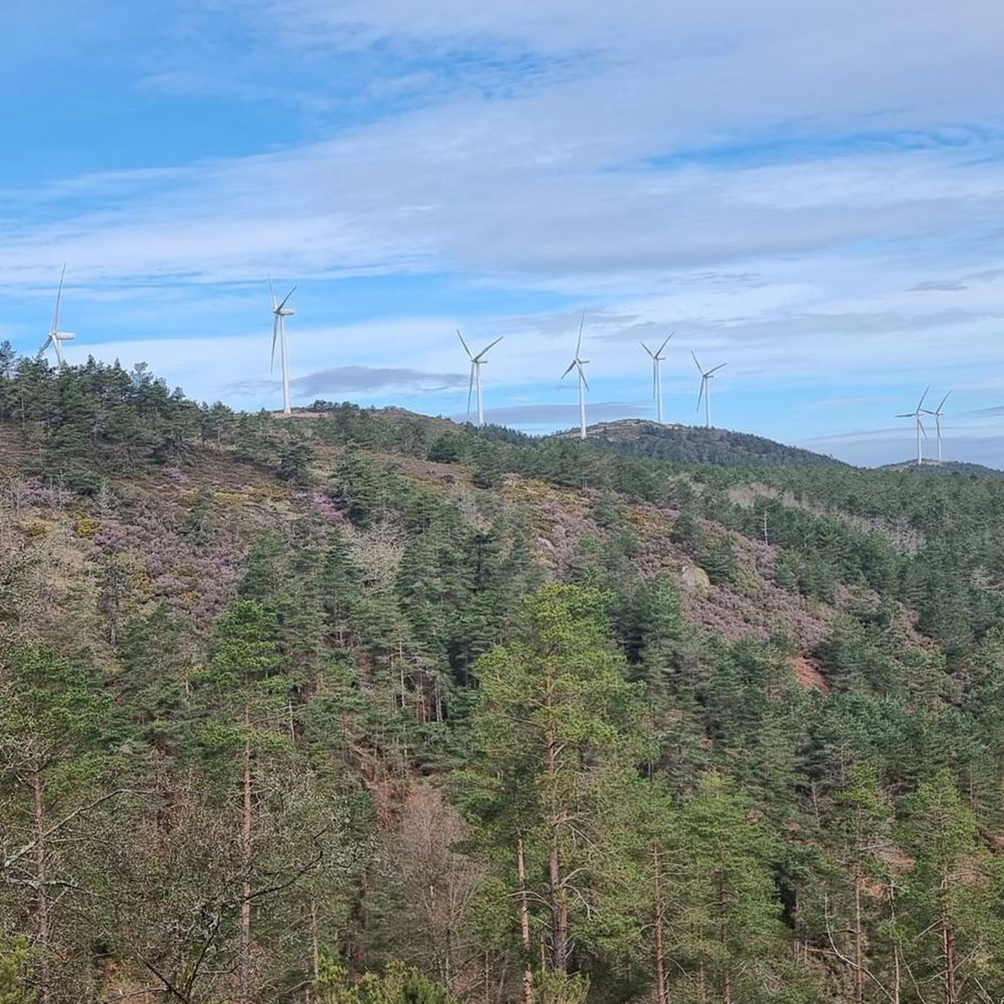
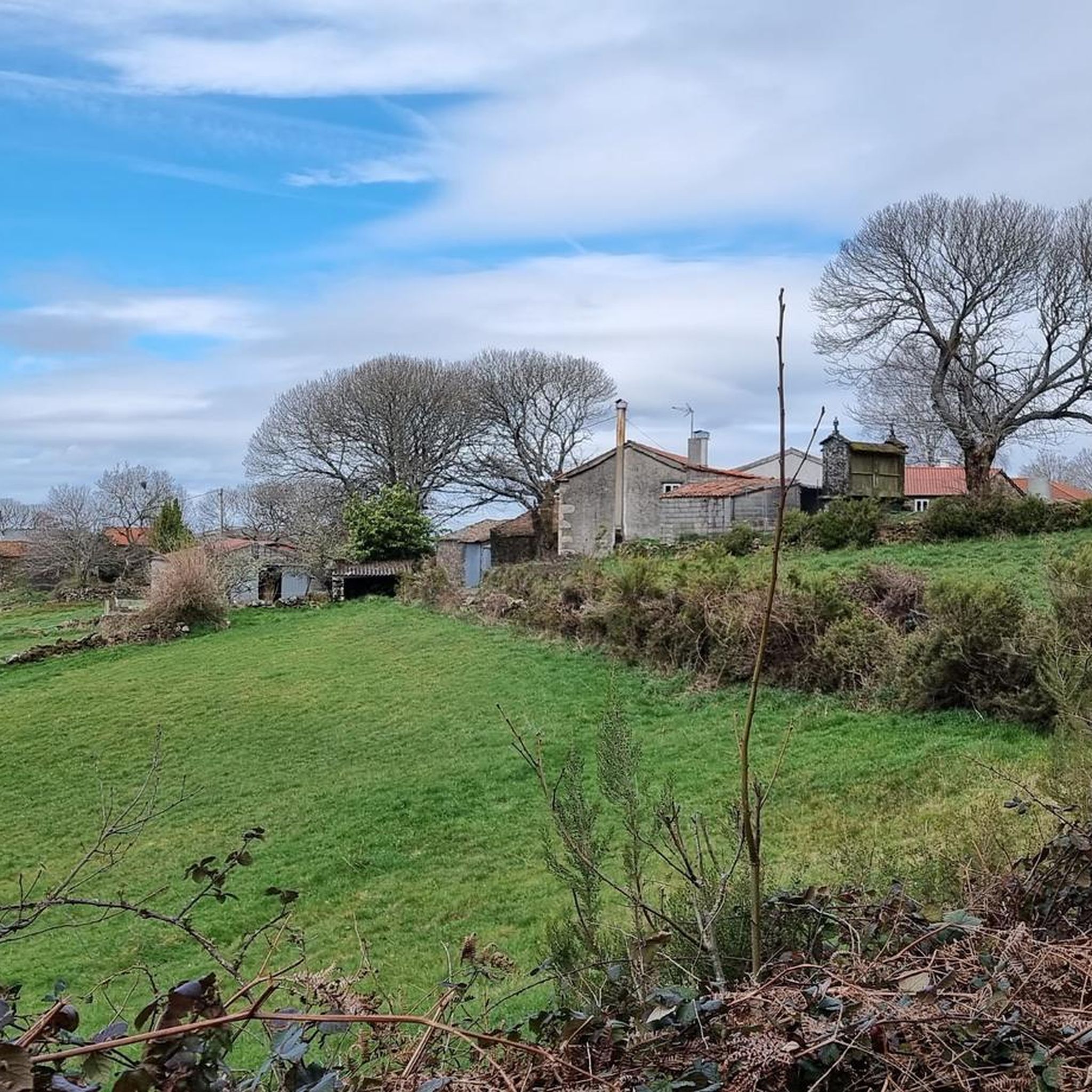
Road cycling routes in Monte Faro traverse the Dorsal Galega mountain range in Galicia, Spain, characterized by smooth, rounded peaks and extensive indigenous forests. The region offers panoramic views across all four Galician provinces from its higher elevations, providing rewarding cycling stops. Routes often feature well-paved surfaces, winding through traditional agricultural landscapes interspersed with woodlands. This diverse terrain makes Monte Faro a notable destination for road cyclists seeking varied scenery and elevation challenges.
Best road cycling routes in Monte Faro
- The most popular road cycling route is Rodeiro Town Hall – Palas de Rei (French Way) loop from Rodeiro, a 52.2 miles (84.1 km) trail that takes 4 hours 9 minutes to complete. This route connects significant towns, offering a blend of cultural and natural scenery.
- Another top favourite among local road cyclists is The Cova Miño Return, a difficult 44.4 miles (71.5 km) path. This route features substantial elevation gain, providing a challenging ride through the region's varied landscapes.
- Local road cyclists also love the Chantada - Roderio Return, a 30.1 miles (48.4 km) trail leading through scenic Galician countryside, often completed in about 2 hours 53 minutes.
- Road cycling in Monte Faro is defined by smooth, rounded peaks, indigenous forests, and panoramic views. The network offers options for different ability levels, including challenging routes with significant elevation.
- The routes in Monte Faro are highly rated by the komoot community with an average score of 5.0 stars. More than 80 road cyclists have used komoot to explore Monte Faro's varied terrain.
Last updated: May 16, 2026
21
riders
84.6km
04:11
1,290m
1,290m
Hard road ride. Very good fitness required. Mostly well-paved surfaces and easy to ride.
6
riders
71.5km
04:13
1,730m
1,730m
Hard road ride. Very good fitness required. Mostly well-paved surfaces and easy to ride.

Sign up for free
5.0
(1)
2
riders
48.4km
02:53
1,110m
1,110m
Challenging 30.1-mile road cycling route near Chantada, featuring a tough climb to Monte Faro and panoramic views.
1
riders
95.8km
04:47
1,540m
1,540m
Hard road ride. Very good fitness required. Mostly well-paved surfaces and easy to ride.
5
riders
18.7km
01:01
380m
380m
Moderate road ride. Good fitness required. Mostly well-paved surfaces and easy to ride.
Get access to more routes and recommendations from other explorers.
Sign up for free
Already have an account?
Our route recommendations are based on thousands of hikes, rides, and runs completed by other people on komoot.
Start today with a free account
Your next adventure awaits.
Login or Signup
Popular around Monte Faro

Tips from the Community

Contrary to what the name suggests, this was not the king's palace or residence. It's a lovely little place and good for a break.
1
0

Romanesque church dating from the last third of the 12th century with later alterations. Only the main entrance and part of the façade remain of the original design. It has a Latin cross plan with a rectangular nave, two side chapels, and a pentagonal presbytery. The walls are made of masonry and granite ashlars, and the roof is covered with two- and four-sided tiles. The entrance is Romanesque and features a rounded arch with two archivolts, coved arches, an outer band of truncated spires, and decorated capitals. The tympanum is plain on quoins. The altarpiece in the main chapel is neoclassical.
1
1

Exceptional place for cycling, with good views and little traffic
0
0
Exceptional place for cycling, with good views and little traffic
0
0
Exceptional place for cycling, with good views and little traffic
0
0

A perfect lunch stop. A nice Italian restaurant with a good selection. Food and service were great.
0
0

Small typical church 🤙
2
1
Beautiful little church 🤙
1
0
Frequently Asked Questions
How many road cycling routes are available in Monte Faro?
There are over 20 road cycling routes in Monte Faro, offering a variety of experiences across the Dorsal Galega mountain range. These routes are highly rated by the komoot community, with an average score of 5.0 stars.
What kind of terrain can I expect on road cycling routes in Monte Faro?
Road cycling routes in Monte Faro feature diverse terrain, characterized by smooth, rounded peaks and extensive indigenous forests, including impressive oak woods. While most surfaces are well-paved, some more challenging routes might include unpaved segments. You'll also cycle through traditional agricultural landscapes interspersed with woodlands.
Are there any easy road cycling routes for beginners in Monte Faro?
The road cycling routes in Monte Faro are generally challenging, with 6 routes rated as moderate and 15 as difficult. There are no routes specifically categorized as easy for beginners in this guide, as many involve significant elevation gain.
What are some challenging road cycling routes for advanced riders in Monte Faro?
Advanced riders will find plenty of challenging options. For instance, The Cova Miño Return is a difficult 71.5 km route with substantial elevation gain. Another demanding option is the Chantada - Montforte Return to the Ribeira Sacra Biosphere Reserve, which covers nearly 96 km with over 1500 meters of ascent.
Are there any loop trails for road cycling in Monte Faro?
Yes, many road cycling routes in Monte Faro are designed as loops. A popular example is the Rodeiro Town Hall – Palas de Rei (French Way) loop from Rodeiro, which is a 84.1 km route connecting significant towns. Another loop option is A Cova Riverside Beach – Plaza de Galicia, Chantada loop from Chantada.
What are the best viewpoints along the road cycling routes in Monte Faro?
From the summit of Monte Faro itself, you can enjoy extensive panoramic views that encompass all four Galician provinces, making for truly rewarding cycling stops. Many routes traverse the higher elevations of the Dorsal Galega mountain range, offering numerous scenic vistas of the surrounding indigenous forests and traditional agricultural landscapes.
What is the best time of year to go road cycling in Monte Faro?
Monte Faro receives abundant rainfall and occasional snowfall in some years due to its location. While specific best times aren't detailed, generally, spring and autumn offer milder temperatures and potentially clearer skies for cycling. It's advisable to check local weather conditions before planning your trip.
Are there any cafes or places to stop for refreshments near the road cycling routes?
The routes often connect or pass through towns like Rodeiro and Chantada, where you can typically find local cafes and establishments for refreshments. The region's traditional agricultural landscapes also mean you might encounter small villages with amenities along the way.
What makes road cycling in Monte Faro unique?
Road cycling in Monte Faro is unique due to its blend of natural beauty and cultural heritage. You'll experience smooth, rounded peaks, indigenous forests, and panoramic views across all four Galician provinces. The routes also wind through traditional agricultural landscapes and areas of archaeological importance, offering a rich and varied experience.
What do other road cyclists enjoy most about road cycling in Monte Faro?
The area is highly rated by the komoot community, with an average score of 5.0 stars. Reviewers often praise the diverse landscapes, the challenging elevation gains, and the rewarding panoramic views from higher points. The blend of cultural and natural scenery along routes like the Chantada - Roderio Return is also frequently highlighted.
Are there any historical or archaeological sites to see while cycling in Monte Faro?
Yes, the western flanks of the O Faro range hold archaeological significance. You might encounter burial tumuli known as mámoas, which are characteristic of megalithic culture, offering a glimpse into the region's ancient past as you cycle through the landscape.

Get inspired with the komoot mobile app


Explore more
Browse the best Road cycling routes in other regions.
