The best walks and hikes around Río Anllóns
4.6
(429)
2,678
hikers
87
hikes
Hiking around Río Anllóns offers diverse natural features and landscapes in the province of A Coruña, Galicia. The region is characterized by the Río Anllóns estuary, which includes the Monte Branco Dune, and lush riverside woodlands like the Bosque do Añón. Numerous brooks feed into the main river, contributing to a rich biodiversity and varied terrain for outdoor activities.
Best hiking trails around Río Anllóns
- The most popular hiking route is Barra Dunes – View of Isla Tiñosa loop from…
Last updated: October 4, 2026
5.0
(10)
64
hikers
16.2km
04:25
230m
230m
Moderate hike. Good fitness required. Easily-accessible paths. Suitable for all skill levels.
4.0
(2)
36
hikers
Easy hike. Great for any fitness level. Easily-accessible paths. Suitable for all skill levels.

21
hikers
14.8km
03:55
140m
140m
Moderate hike. Good fitness required. Easily-accessible paths. Suitable for all skill levels.
19
hikers
7.74km
02:03
80m
80m
Moderate hike. Good fitness required. Easily-accessible paths. Suitable for all skill levels.
4.5
(4)
10
hikers
13.2km
03:37
220m
220m
Moderate hike. Good fitness required. Easily-accessible paths. Suitable for all skill levels.
5.0
(1)
15
hikers
11.4km
02:58
90m
90m
Moderate hike. Good fitness required. Easily-accessible paths. Suitable for all skill levels.
9
hikers
6.23km
01:40
70m
70m
Easy hike. Great for any fitness level. Easily-accessible paths. Suitable for all skill levels.
4
hikers
10.4km
02:42
60m
60m
Moderate hike. Good fitness required. Easily-accessible paths. Suitable for all skill levels.
5.0
(3)
7
hikers
8.75km
02:18
70m
70m
Moderate hike. Good fitness required. Easily-accessible paths. Suitable for all skill levels.
4
hikers
Moderate hike. Good fitness required. Easily-accessible paths. Suitable for all skill levels.
Get access to more routes and recommendations from other explorers.
Already have an account?
Our route recommendations are based on thousands of hikes, rides, and runs completed by other people on komoot.
Start today with a free account
Your next adventure awaits.

Tips from the Community

Here and also in As Grelas, artificial turf is part of the cityscape.
1
0
A nice little town where you can get good supplies on the Camiño dos Faros.
1
0
The paths are easy to walk on. Long trousers or gaiters are an advantage.
1
0

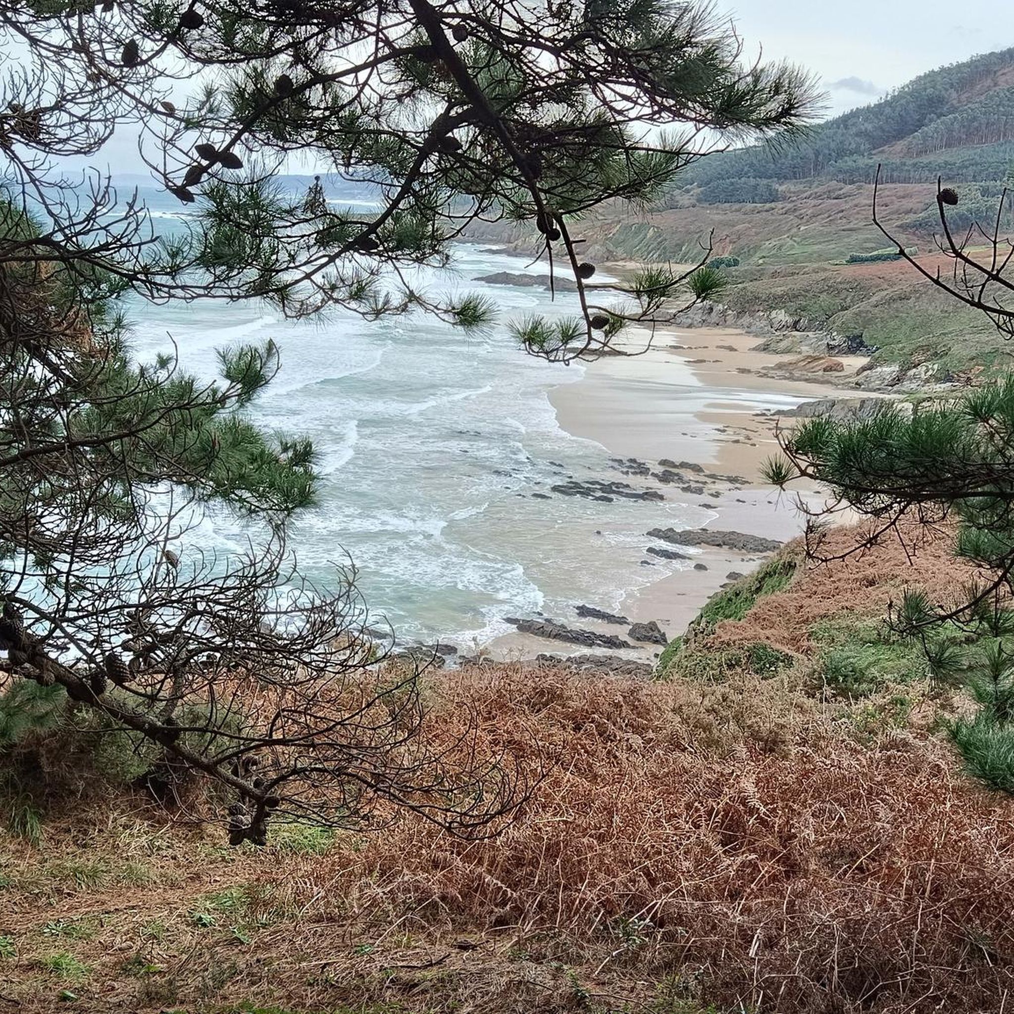
View of Tiñosa Island from Barra beach, dune peninsula in the Anllons river month
2
1

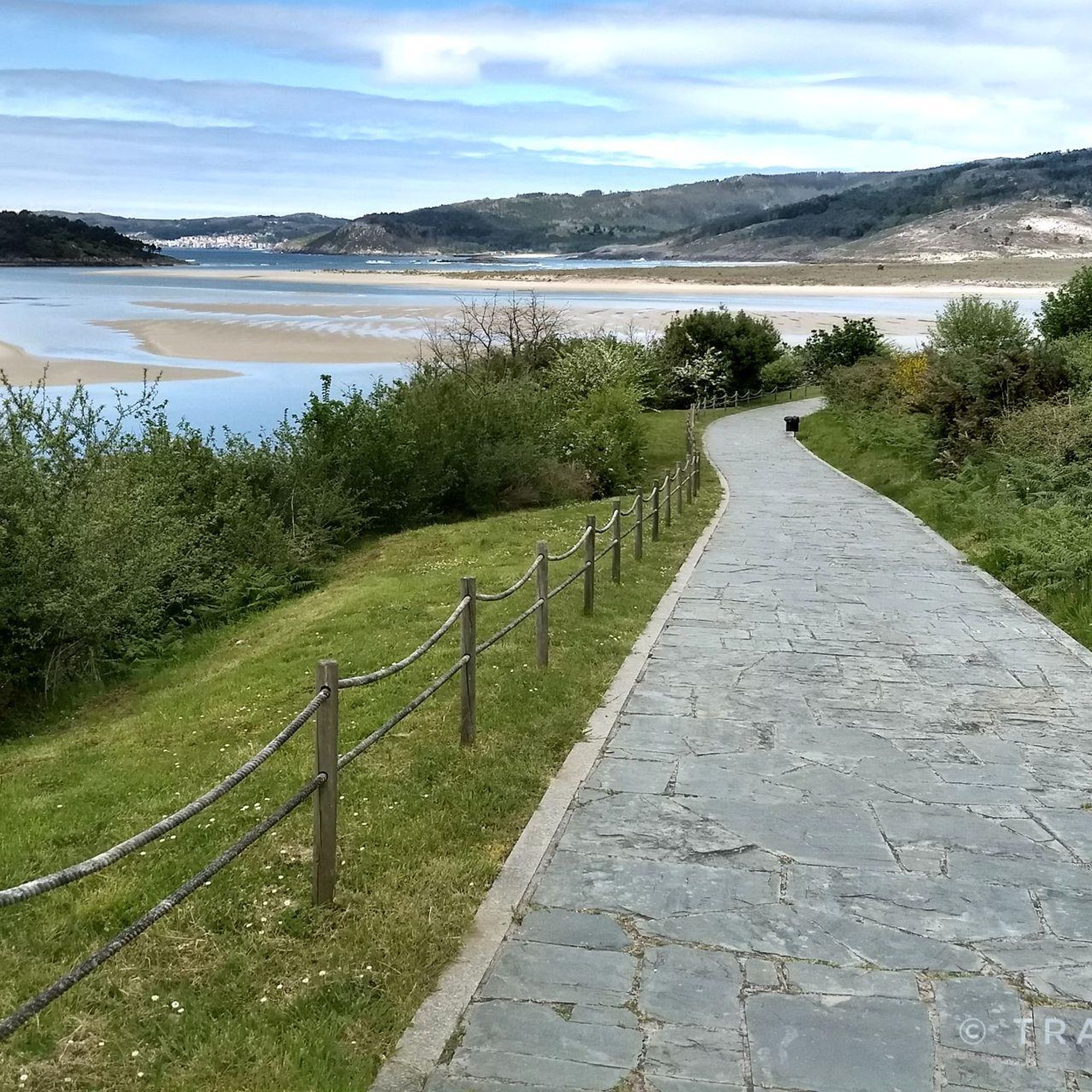
Between the Dunes and next to Monte Branco there is a path along which a hiking route runs from Ponteceso to A Barra beach.
12
0

They are just under 3 kilometers where you will go from listening to the sea to listening to the stream, which forms small waterfalls and beautiful corners.
0
0

The place name Anllóns, which gives the river its name, could come from angulones, from the Latin angulus, which would refer to the meanders of its mouth.
0
0

This dune is considered the highest dune in Europe. However, it is not a wandering dune and is therefore heavily overgrown in the upper area, which makes it appear a little less high. The sand is amazing, white and fine and it's fun to walk through the sands. The path from Ponteceso is beautiful, goes along a bird sanctuary and goes all the way to the beach.
3
0
Frequently Asked Questions
How many hiking trails are available in the Río Anllóns area?
There are over 75 hiking trails in the Río Anllóns region, offering a wide range of options for different fitness levels. You'll find everything from easy riverside strolls to more challenging routes through varied landscapes.
What kind of terrain can I expect on hikes around Río Anllóns?
The terrain around Río Anllóns is quite diverse. You'll encounter paths along the estuary, featuring unique landscapes like the Monte Branco Dune, as well as lush riverside forests with typical riverine vegetation. Many trails also pass by historical water mills and through areas with rich biodiversity, offering a mix of natural and ethnographic interest.
Are there any family-friendly hiking options in Río Anllóns?
Yes, Río Anllóns offers several family-friendly hiking options. Many paths are easily accessible, including riverside walkways like the one in Carballo or Laracha, which are perfect for leisurely strolls. An excellent easy route is the Bosque do Añón loop from Carballo, which is 4.3 km long and leads through a beautiful forest.
Can I bring my dog on the hiking trails in Río Anllóns?
Generally, dogs are welcome on many of the hiking trails in Río Anllóns. However, it's always recommended to keep them on a leash, especially in areas with wildlife or near agricultural land, and to respect local regulations regarding pets in natural areas. Please ensure you clean up after your dog to preserve the natural beauty of the region.
Are there any circular hiking routes in Río Anllóns?
Yes, many of the trails in Río Anllóns are designed as circular routes, allowing you to start and end at the same point. For example, the Barra Dunes – View of Isla Tiñosa loop from Ponteceso is a popular 10.7 km circular trail offering estuary views. Another option is the Rio Anllons, Refugi verdes – Alto da Pena loop from Cances da Vila, a moderate 13 km loop.
What natural features or landmarks can I see along the trails?
Hikers can discover a wealth of natural and historical features. The estuary is home to the impressive Monte Branco Dune. You'll also encounter lush riverside forests, such as the Bosque do Añón, and numerous old water mills, particularly around Laracha and Coristanco. The Verdes refuge is notable for the river dividing into small islands connected by bridges. For cultural interest, some routes lead to archaeological sites like Castro A Cibda and the Dolmen de Dombate.
What is the best time of year to go hiking in Río Anllóns?
Río Anllóns can be enjoyed year-round, but spring and autumn generally offer the most pleasant hiking conditions with mild temperatures and vibrant natural colors. Summer can be warm, especially in open areas, while winter might bring cooler, wetter weather, though the riverside forests offer some shelter. The estuary is particularly significant for birdwatching during migration seasons.
Are there options for parking near the trailheads?
Yes, many of the popular trailheads and riverside walkways in municipalities like Carballo, Laracha, and Ponteceso offer designated parking areas. It's advisable to check specific route details on komoot for precise parking information, but generally, access by car is convenient.
Is public transport available to reach the hiking areas?
While specific public transport routes directly to every trailhead might be limited, the main towns along the Río Anllóns, such as Carballo, Laracha, and Ponteceso, are typically served by regional bus lines. From these towns, you may be able to access some of the more central hiking areas or start points for longer routes.
What do other hikers enjoy most about hiking in Río Anllóns?
The area is highly rated by the komoot community, with an average score of 4.5 stars. Reviewers often praise the diverse landscapes, from the unique Monte Branco Dune and the estuary views to the tranquil riverside forests and historical mills. The variety of trails catering to all ability levels and the rich biodiversity are also frequently highlighted as major attractions.
Are there any easy routes for beginners or those seeking a relaxed walk?
Absolutely. Río Anllóns is well-suited for beginners and those looking for relaxed walks. Routes like the Bosque do Añón loop from Carballo (4.3 km) or the Castro loop from Carballo (7.5 km) are rated as easy and offer gentle terrain through scenic areas. The developed riverside walkways in towns like Carballo also provide comfortable, flat paths.
Where can I find information about the ecological significance of Río Anllóns?
The Río Anllóns area is recognized for its significant ecological value, having been declared a Site of Community Importance in 2001 and a Special Area of Conservation in 2014. This designation highlights its rich biodiversity, including numerous bird species in the estuary and diverse fish populations in the river. You can find more general information about the river's geography and ecology on Wikipedia.
Most popular routes around Río Anllóns

Get inspired with the komoot mobile app


Explore more
Browse the best Hikes in other regions.
