The best walks and hikes in Pavia
4.4
(2658)
11,290
hikers
1,135
hikes
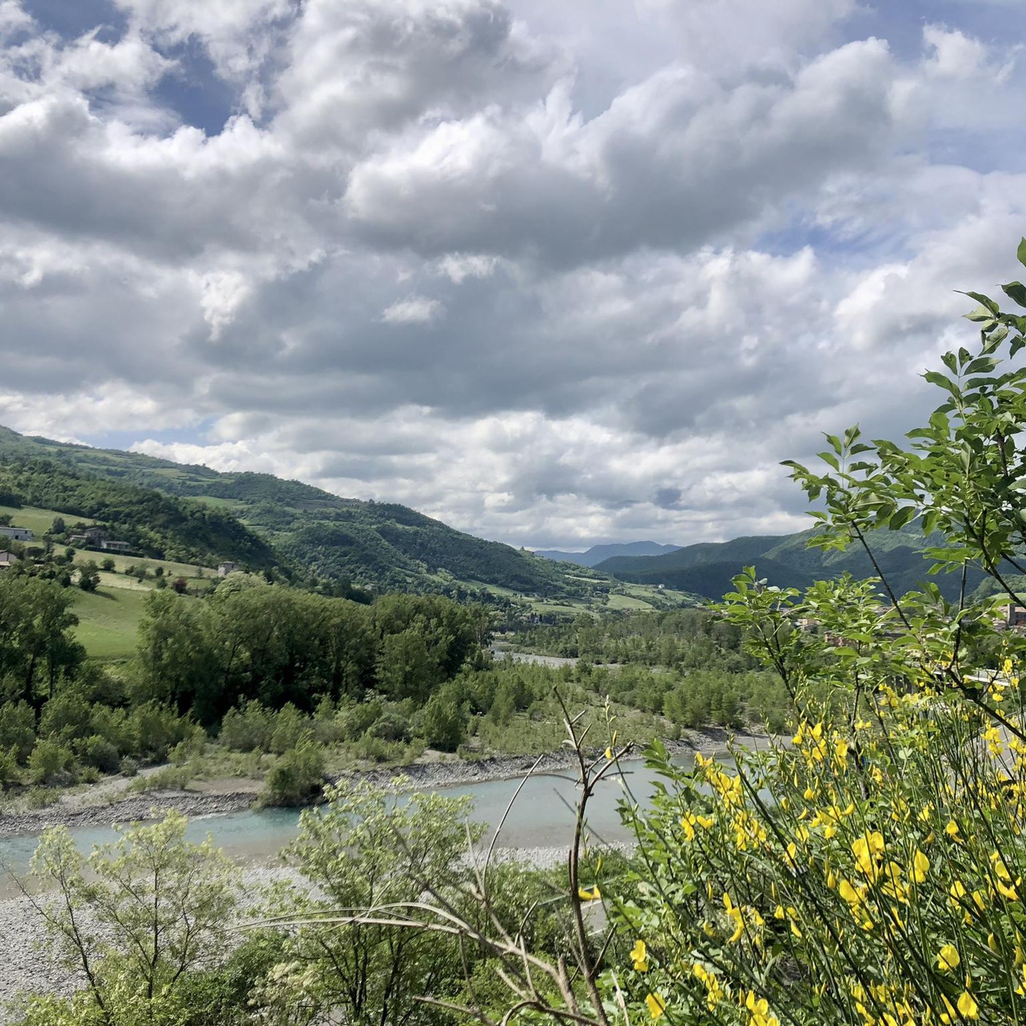
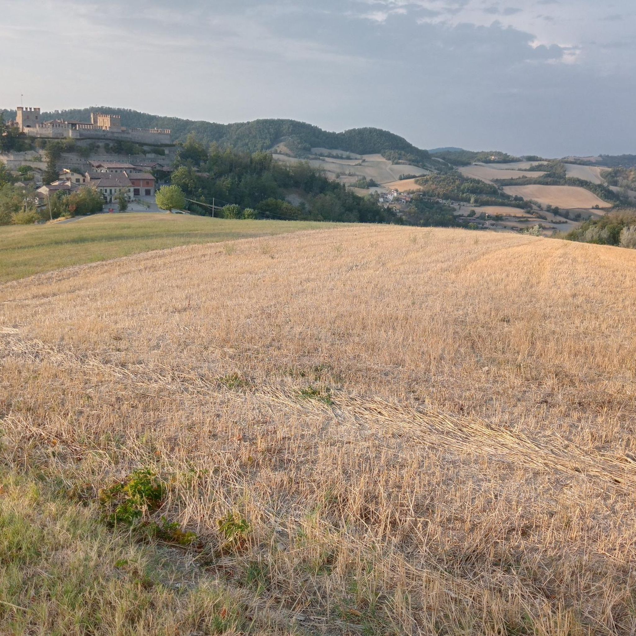
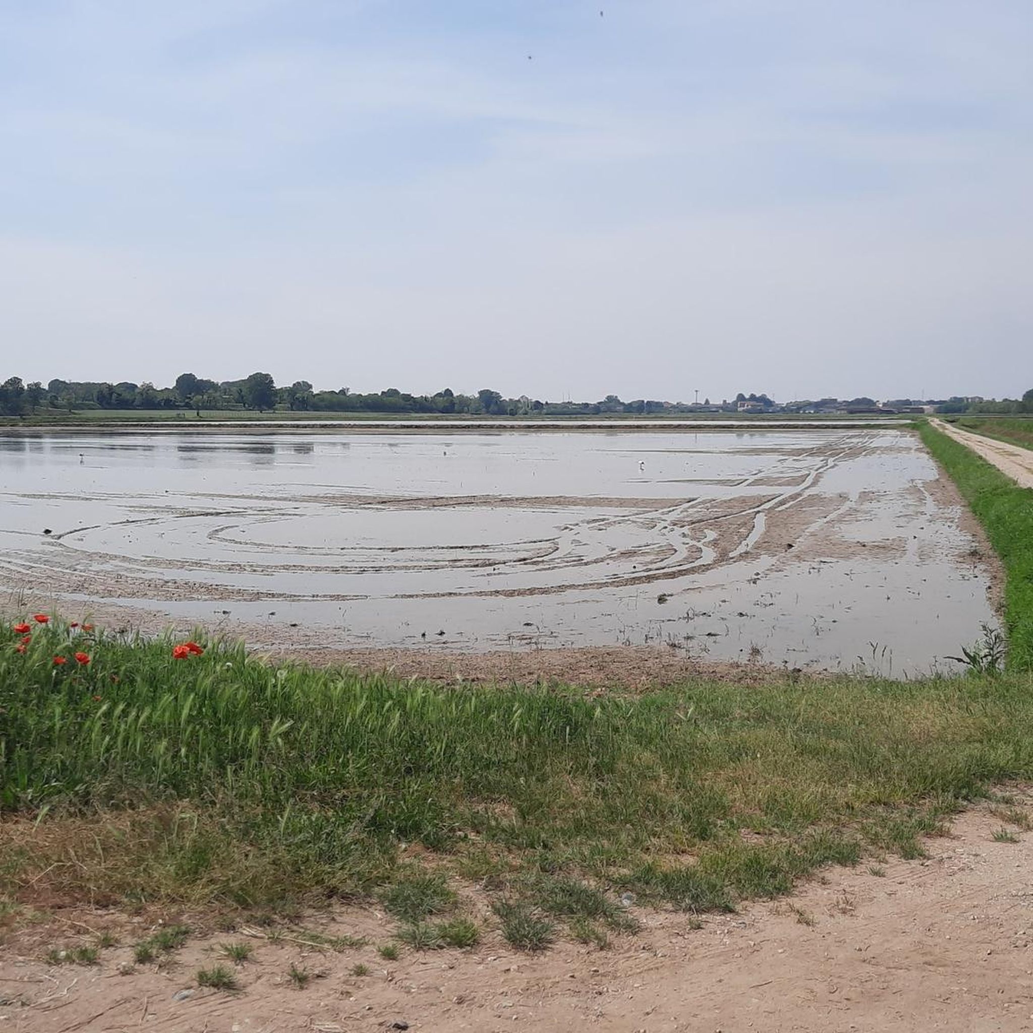
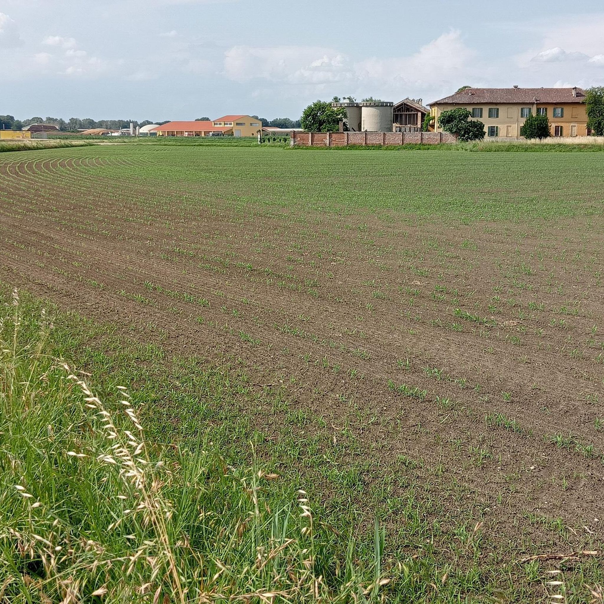
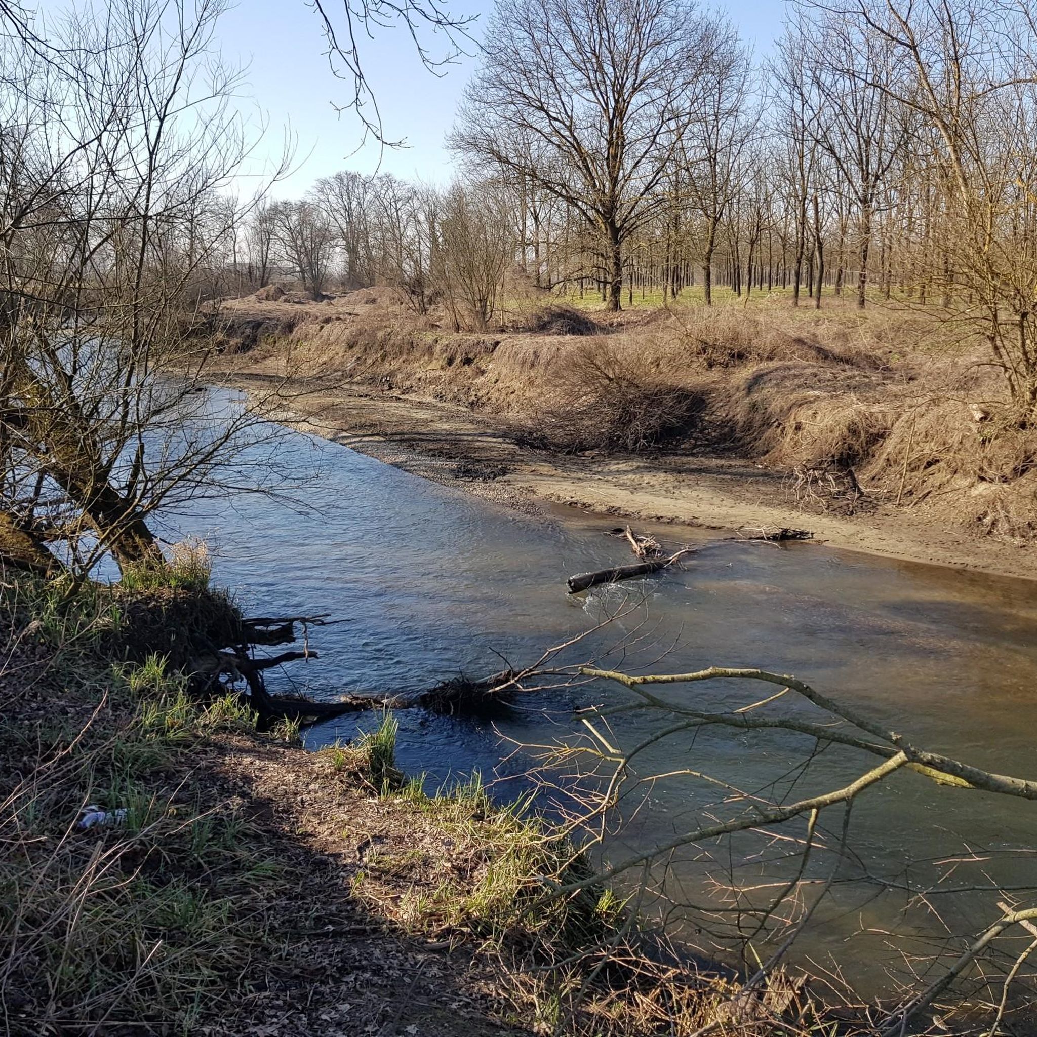
Hiking in Pavia offers diverse landscapes, from the verdant plains along the Ticino River to the rolling hills of Oltrepò Pavese and the foothills of the Apennine mountains. The region is characterized by extensive vineyards, woodlands, and serene riverside paths. This varied topography provides a range of hiking opportunities suitable for different experience levels.
Best hiking trails in Pavia
- The most popular hiking route is Ring tour in the Monte Alpe Natural Reserve - Trail 2, a 4.0 miles (6.4 km) trail that takes 1 hour 56 minutes to complete. This route offers panoramic views within the Monte Alpe Natural Reserve.
- Another top favourite among local hikers is From Pavia to the giant red bench along the Ticino – loop tour, a moderate 7.9 miles (12.8 km) path. This trail follows serene riverside paths along the Ticino River.
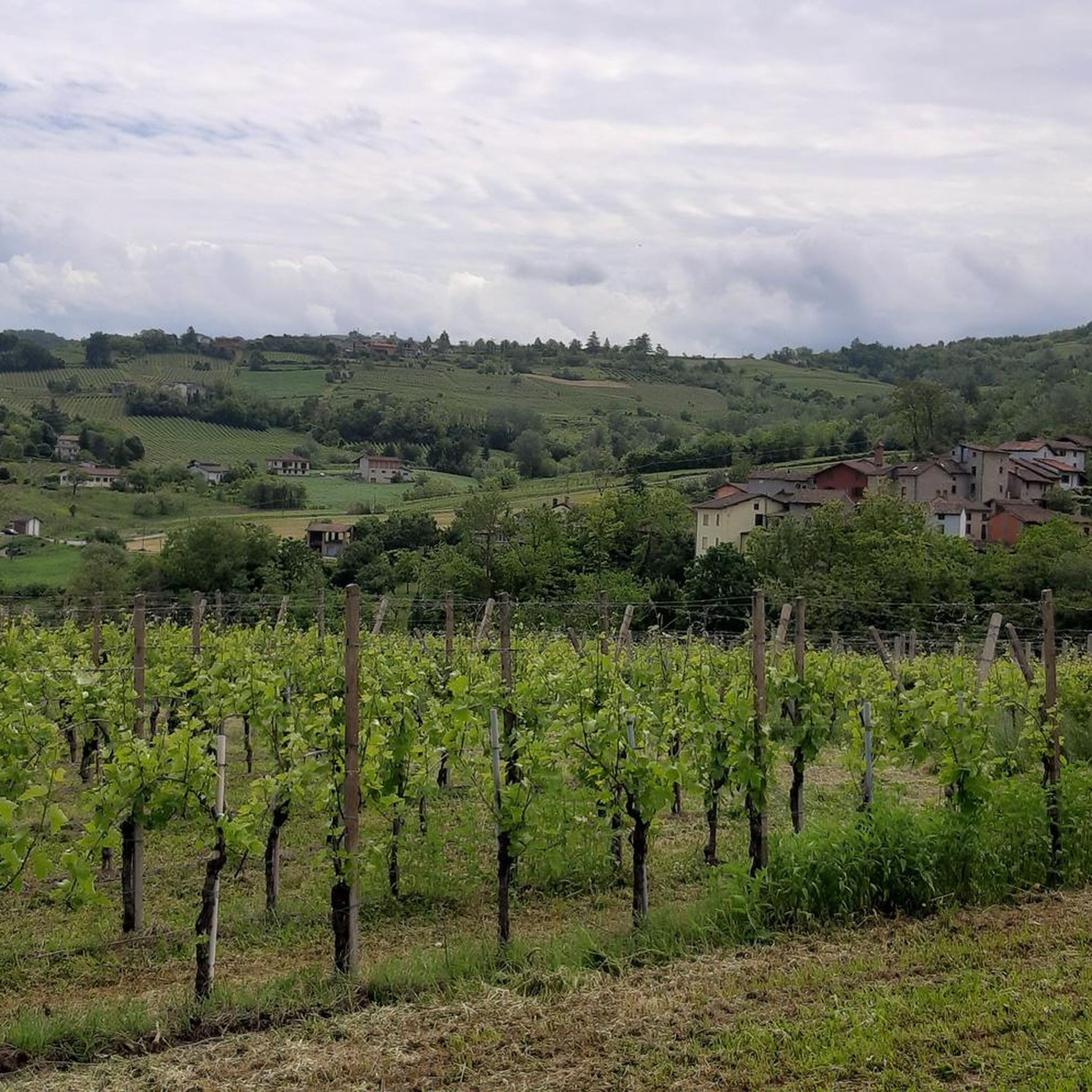
- Local hikers also love the Borgoratto Ring Trail, a 6.2 miles (9.9 km) trail leading through vineyards and historic villages, often completed in about 3 hours 5 minutes.
- Hiking in Pavia is defined by the rolling Oltrepò Pavese hills, the lush Parco del Ticino, and extensive vineyards. The network offers options for easy riverside walks to more challenging routes in the Apennine foothills.
- The routes in Pavia are highly rated by the komoot community with an average score of 4.4 stars from over 1,800 reviews. More than 7,900 hikers have used komoot to explore Pavia's varied terrain.
Last updated: September 27, 2026
4.4
(36)
168
hikers
24.5km
06:14
70m
90m
Hard hike. Very good fitness required. Easily-accessible paths. Suitable for all skill levels.
4.4
(27)
142
hikers
20.9km
05:19
20m
40m
Hard hike. Very good fitness required. Easily-accessible paths. Suitable for all skill levels.

4.2
(26)
127
hikers
29.5km
07:39
120m
130m
Hard hike. Very good fitness required. Easily-accessible paths. Suitable for all skill levels.
4.1
(19)
98
hikers
16.2km
04:08
30m
50m
Moderate hike. Good fitness required. Easily-accessible paths. Suitable for all skill levels.
3.9
(13)
87
hikers
14.2km
03:36
0m
20m
Moderate hike. Good fitness required. Easily-accessible paths. Suitable for all skill levels.
4.6
(26)
66
hikers
6.40km
01:57
220m
230m
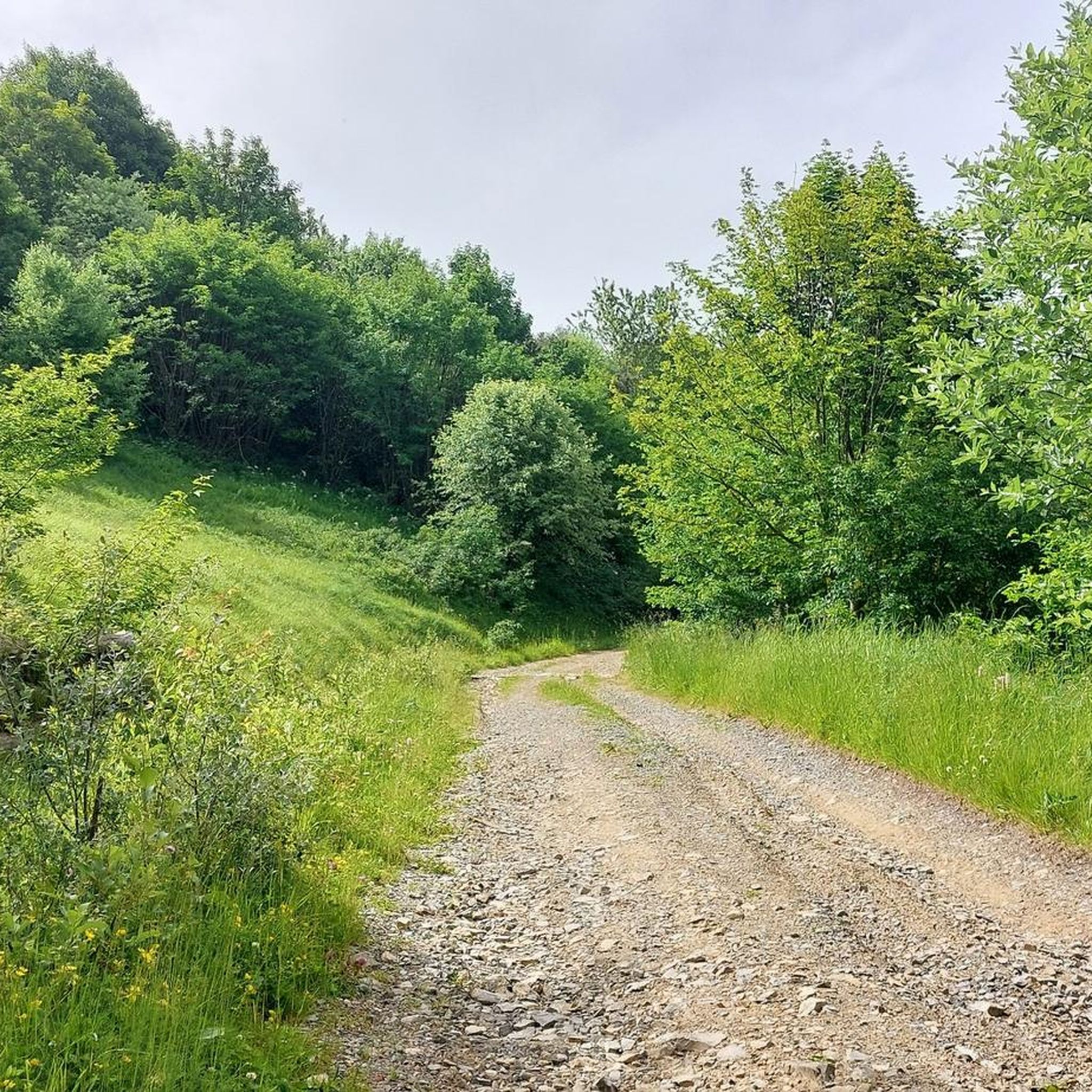
Embark on an easy hike through the Monte Alpe Natural Reserve on this popular ring tour. You'll cover 4.0 miles (6.4 km) with a gentle elevation gain of 735 feet (224 metres), taking about 1 hour and 56 minutes to complete. The trail winds through diverse forest types, including conifer plantations and native coppice woods, before opening up to grasslands where you might spot cows grazing peacefully.
This accessible route is suitable for nearly any fitness level, making it a great choice for families or anyone seeking a pleasant outdoor excursion. Since it's an easy hike, you won't need extensive planning; just bring comfortable shoes and enjoy the varied scenery. The well-regarded path ensures a straightforward and enjoyable experience from start to finish.
Located in the Lombard Apennines within the upper Staffora Valley, the Monte Alpe Natural Reserve offers a rich ecosystem. As you hike, you'll experience altitudes up to 1254 meters and might even encounter unique geological features like petrifying springs that form travertine. This trail is celebrated for its combination of accessibility and the chance to immerse yourself in the natural beauty and biodiversity of the reserve.
4.4
(32)
116
hikers
12.8km
03:17
50m
50m
Embark on a moderate 7.9-mile (12.8 km) loop tour along the Ticino River, a hike that takes about 3 hours and 16 minutes to complete with an elevation gain of 169 feet (51 metres). You'll enjoy serene riverside paths and diverse landscapes within the Parco Lombardo della Valle del Ticino, including verdant plains and woodlands. A highlight is the Giant Red Bench on the Ticino River, offering a unique perspective on the surroundings. The varied terrain includes natural surfaces, paved sections, and some asphalt, providing a pleasant mix underfoot.
The loop tour begins from Pavia, offering easy access to the historic Ponte Coperto. The research does not specify dedicated parking areas or public transport links for the trailhead, nor does it mention any permits or fees required for this hike. You can expect varied terrain, with about 6.55 km of natural surfaces and 2.29 km of paved sections. No specific seasonal closures or best times of day are noted, but the moderate difficulty suggests it's enjoyable in most conditions.
This route is set within the lush Parco Lombardo della Valle del Ticino, a significant natural park. The Giant Red Bench is part of the "Big Bench Community Project," an initiative by designer Chris Bangle to foster appreciation for natural landscapes. You will also pass by Pavia's iconic Ponte Coperto, a historic covered bridge connecting the city's center with the picturesque Borgo Ticino district. The charming cobblestone road of Borgo Basso along the Ticino is also part of the experience.
4.5
(24)
96
hikers
10.1km
02:34
20m
20m
Embark on the Borgoticino Loop, a moderate hiking route that guides you along the scenic Ticino River. This accessible 6.3-mile (10.1 km) journey offers a delightful blend of natural beauty and agricultural landscapes, with a gentle elevation gain of just 51 feet (15 metres). Expect to spend around 2 hours and 33 minutes immersing yourself in picturesque riverside views and passing by charming historic farmhouses.
To begin your adventure, head to the historic Ponte Coperto, or Covered Bridge, in Pavia, which serves as the convenient starting point for the loop. Parking is generally available in the vicinity of the bridge, making access straightforward. While the trail is mostly tranquil, be aware that some sections might encounter local traffic, so stay alert. This route is enjoyable throughout the day, offering different light conditions for photography.
This trail is a fantastic way to experience the Parco Lombardo della Valle del Ticino, showcasing its diverse Po Valley wildlife. As you hike, keep an eye out for panoramic views of the city of Pavia, where you can spot its historic towers and church domes, particularly near Cascina Costa. The route provides a unique perspective on the region's blend of natural and historical significance.
4.2
(17)
43
hikers
9.93km
03:05
360m
370m
Embark on the Borgoratto Ring Trail, a moderate hike spanning 6.2 miles (9.9 km) with an elevation gain of 1197 feet (365 metres). This route takes you through a varied landscape, where picturesque vineyards meet charming historic villages. You will experience gentle ascents and descents, including some narrower, steeper paths and sections along ridges, offering a true sense of the Oltrepò Pavese region. Expect to complete this journey in about 3 hours and 4 minutes, enjoying the natural beauty along the way.
When planning your visit, remember that sure-footedness is recommended due to some steeper sections on the trail. The route combines both unpaved trails and paved roads, making it accessible for walking. Since much of the path lacks extensive tree cover, you should avoid hiking during the hottest months of the year to ensure a comfortable experience. Consider starting early in the day to make the most of cooler temperatures and clearer views.
This trail offers rewarding panoramic views from higher points, such as the Monte Fratello ridge. From here, you can gaze across the vast Po Valley, with the distant Alps and even Monte Rosa visible on a clear day. The Borgoratto Ring Trail provides an excellent opportunity to explore the unique natural beauty and diverse terrain of the Oltrepò Pavese, showcasing its rolling hills and agricultural charm.
3.0
(9)
25
hikers
5.83km
01:46
210m
210m
Embark on the Lake Trebecco Loop, an easy hiking route that promises picturesque views of the lake and its surrounding landscape. This circular walk covers 3.6 miles (5.8 km) with a gentle elevation gain of 687 feet (209 metres), making it a pleasant outing for nearly two hours. You will find the paths easily accessible, offering a serene experience as you follow the trail.
Planning your visit is straightforward for this accessible route. The starting point is in Ruino, where you can find convenient parking. This hike is suitable for all skill levels, including families or those new to hiking, and typically does not require any specific permits or seasonal closures. You can enjoy this trail at any time of year.
This route is nestled in Alta Val Tidone, a region known for its natural beauty. A notable feature along the way is the impressive Molato Dam, which provides an interesting structural element to observe amidst the natural scenery. The Lake Trebecco Loop offers a wonderful opportunity to connect with nature and enjoy a relaxing day outdoors.
Get access to more routes and recommendations from other explorers.
Already have an account?
Our route recommendations are based on thousands of hikes, rides, and runs completed by other people on komoot.
Start today with a free account
Your next adventure awaits.
Popular around Pavia
Other adventures in Pavia


Tips from the Community

The Monument to the Washerwoman is a famous bronze sculpture located in Pavia, positioned on the riverbank in the characteristic Borgo Ticino district. The work is located at the entrance of Via Milazzo, immediately to the left after crossing the famous Ponte Coperto.
0
0


Beautiful ride between the provinces of PV and PC to do not immediately after a day of rain, terrain in parts clay and muddy. At km. 6.40 take the low variant because the one that gives the track is impassable.
0
0

A memorial to the laundresses. Thanks to Willem VS for his excellent descriptions!
3
0

Beautiful distant view of Pavia with the possibility of also seeing the Alps in the background
1
0

nice view from the bench, there is also a small picnic area
1
0

The Statua della Lavandaia in Pavia is one of the symbols of the city. This beautiful sculpture, created by local artist Giovanni Scapolla in 1981, recalls the time when the banks of the Ticino River were populated by women who washed clothes in the river. Giovanni Scapolla was inspired by his mother, a famous washerwoman named 'Sciura Teresina', who always wore a traditional 'caplina' on her head. Names of the washerwomen: The washerwomen often had nicknames related to physical characteristics. The most famous was 'Angiuleta', but there were others such as 'Marieta dai pe tort' (with crooked feet) and 'Gianina la culona' (the plump one). Method: The women worked all day on the riverbank. The clothes were soaked overnight in large concrete containers and then washed by the river using a wooden board (‘a scägn’). Men and children collected the washed clothes and delivered them throughout the city. It was hard and unprofitable work, with only one or two lira each. Singing and entertainment: To pass the time, the washerwomen often sang. One of their favorite songs was “La donna è mobile” from Verdi's opera Rigoletto. They even adapted the text: 'La dona l'è UN MOBIL da met in sala, l'om l'è un asin da met in stala', referring to the fact that men walked around all day while the women stood still to to wash.
9
0

The statue depicts a washerwoman intent on washing clothes in Ticino, a practice that was widespread in ancient times. It was created in 1981 by the Borghigiano sculptor Giovanni Scapolla.
4
0
Frequently Asked Questions
How many hiking trails are available in Pavia?
Pavia offers a wide variety of hiking opportunities, with over 950 routes available. These range from easy riverside strolls to more challenging treks in the Apennine foothills, ensuring options for all skill levels.
What types of landscapes can I expect to see while hiking in Pavia?
The region boasts diverse landscapes. You'll find verdant plains along the Ticino River, the picturesque rolling hills of Oltrepò Pavese with its extensive vineyards, and the more rugged terrain of the Apennine mountains. Natural features include the Monte Alpe Natural Reserve and the sprawling Parco del Ticino.
Are there any easy, family-friendly hiking trails in Pavia?
Yes, Pavia has numerous easy trails suitable for families. The Santa Sofia Loop in Parco del Ticino is an easy 4.2-mile trail featuring the Chiesetta di Santa Sofia and the Ticino River. Another option is the Lake Trebecco Loop, which is also considered easy.
Where can I find challenging hikes in Pavia?
For those seeking a challenge, the Apennine foothills offer more demanding routes. A notable difficult trail is the Ghost Town Trail to Rovaiolo Vecchio, which spans 18.7 km with significant elevation gain.
Are there any circular hiking routes in Pavia?
Yes, many trails in Pavia are designed as loops. Popular circular routes include the Borgoratto Ring Trail, which takes you through vineyards and historic villages, and the From Pavia to the giant red bench along the Ticino – loop tour, offering serene riverside paths.
What are some notable natural features or landmarks to see on hikes in Pavia?
Hikers can explore diverse natural and historical landmarks. In Oltrepò Pavese, you'll find the Monte Alpe Natural Reserve and the historic Pietra Corva Botanical Garden. Along the Ticino River, highlights include the Wildlife Pond in Parco Lombardo della Valle del Ticino and the Isola del Mandelli Nature Reserve. The Molato Dam and Lake Trebecco are also points of interest.
What do other hikers enjoy most about hiking in Pavia?
The hiking trails in Pavia are highly rated by the komoot community, with an average score of 4.4 stars from over 1,800 reviews. Hikers frequently praise the region's diverse scenery, from the tranquil riverside paths of the Ticino to the stunning vineyard views of Oltrepò Pavese, and the well-maintained routes that cater to various skill levels.
Are there any long-distance or historical routes in the Pavia region?
Yes, Pavia is part of several significant long-distance and historical routes. The famous Via Francigena pilgrimage route passes through the area, as does the Via degli Abati, a spiritual journey from Pavia to Pontremoli. Other routes include the Via del Sale (Salt Road) and the Sentiero dei Celti e dei Liguri.
Can I hike through vineyards in Pavia?
Absolutely. The Oltrepò Pavese region, often called the 'Tuscany of Lombardy,' is characterized by its extensive vineyards. Trails like the Borgoratto Ring Trail and the Oltrepò Pavese Vineyards Loop specifically traverse these picturesque landscapes, offering scenic views of the viticultural area.
What is the best time of year to go hiking in Pavia?
Pavia offers pleasant hiking conditions for much of the year. Spring and autumn are particularly recommended for their mild temperatures and vibrant natural colors, especially in the Oltrepò Pavese vineyards and woodlands. Summer can be warm, making riverside paths in Parco del Ticino a good choice, while winter hiking is possible on lower elevation trails.
Are there any specific natural reserves or parks for hiking in Pavia?
Yes, two prominent natural areas for hiking are the Monte Alpe Natural Reserve, known for its panoramic views and woodlands, and the Parco del Ticino, a sprawling natural park along the Ticino River offering lush greenery and serene paths. The Ring tour in the Monte Alpe Natural Reserve - Trail 2 is a popular route within one of these reserves.
Are there any trails that follow the Ticino River?
Yes, the Parco del Ticino offers numerous trails along the Ticino River. The From Pavia to the giant red bench along the Ticino – loop tour and the Borgoticino Loop are excellent options for experiencing the serene riverside paths and lush greenery of the park.
Most popular routes in Pavia
Most popular attractions in Pavia

Get inspired with the komoot mobile app


Didn’t find what you were looking for?
Check out more Hikes throughout Pavia below and find the perfect route in your destination.
Explore more
Browse the best Hikes in other regions.
