The best walks and hikes in Grottes Du Karst D'Aggtelek Et Du Karst De Slovaquie
4.6
(716)
4,567
hikers
20
hikes
Hiking in Grottes Du Karst D'Aggtelek Et Du Karst De Slovaquie offers exploration of a UNESCO World Heritage site characterized by extensive karst plains and plateaus. The region features deep canyons, valleys, and gorges, with elevations ranging from 400 to 900 meters above sea level. Surface karst phenomena such as dolines and conical hills are common, alongside diverse forests of oak, hornbeam, and beech. This landscape provides varied terrain for outdoor activities.
Best hiking trails in Grottes Du Karst D'Aggtelek…
Last updated: May 20, 2026
4.9
(27)
259
hikers
10.1km
03:25
430m
430m
Moderate hike. Good fitness required. Mostly accessible paths. Sure-footedness required.
3.8
(5)
20
hikers
7.16km
02:07
200m
200m
Moderate hike. Good fitness required. Easily-accessible paths. Suitable for all skill levels.

Sign up for free
4.5
(4)
21
hikers
13.7km
04:01
380m
380m
Moderate hike. Good fitness required. Easily-accessible paths. Suitable for all skill levels.
4.0
(2)
9
hikers
Moderate hike. Good fitness required. Easily-accessible paths. Suitable for all skill levels.
5.0
(2)
7
hikers
5.98km
02:32
360m
360m
Moderate hike. Good fitness required. Mostly accessible paths. Sure-footedness required.
Get access to more routes and recommendations from other explorers.
Sign up for free
Already have an account?
Our route recommendations are based on thousands of hikes, rides, and runs completed by other people on komoot.
Start today with a free account
Your next adventure awaits.
Login or Signup
Popular around Grottes Du Karst D'Aggtelek Et Du Karst De Slovaquie
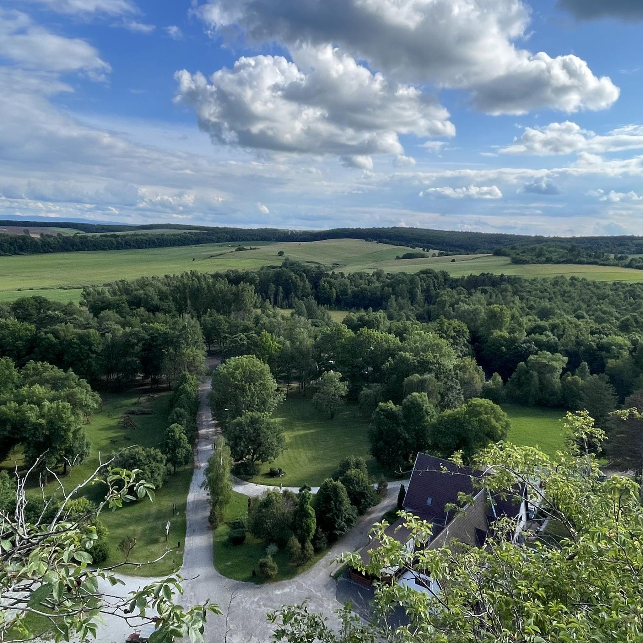
Cycling in Grottes Du Karst D'Aggtelek Et Du Karst De Slovaquie
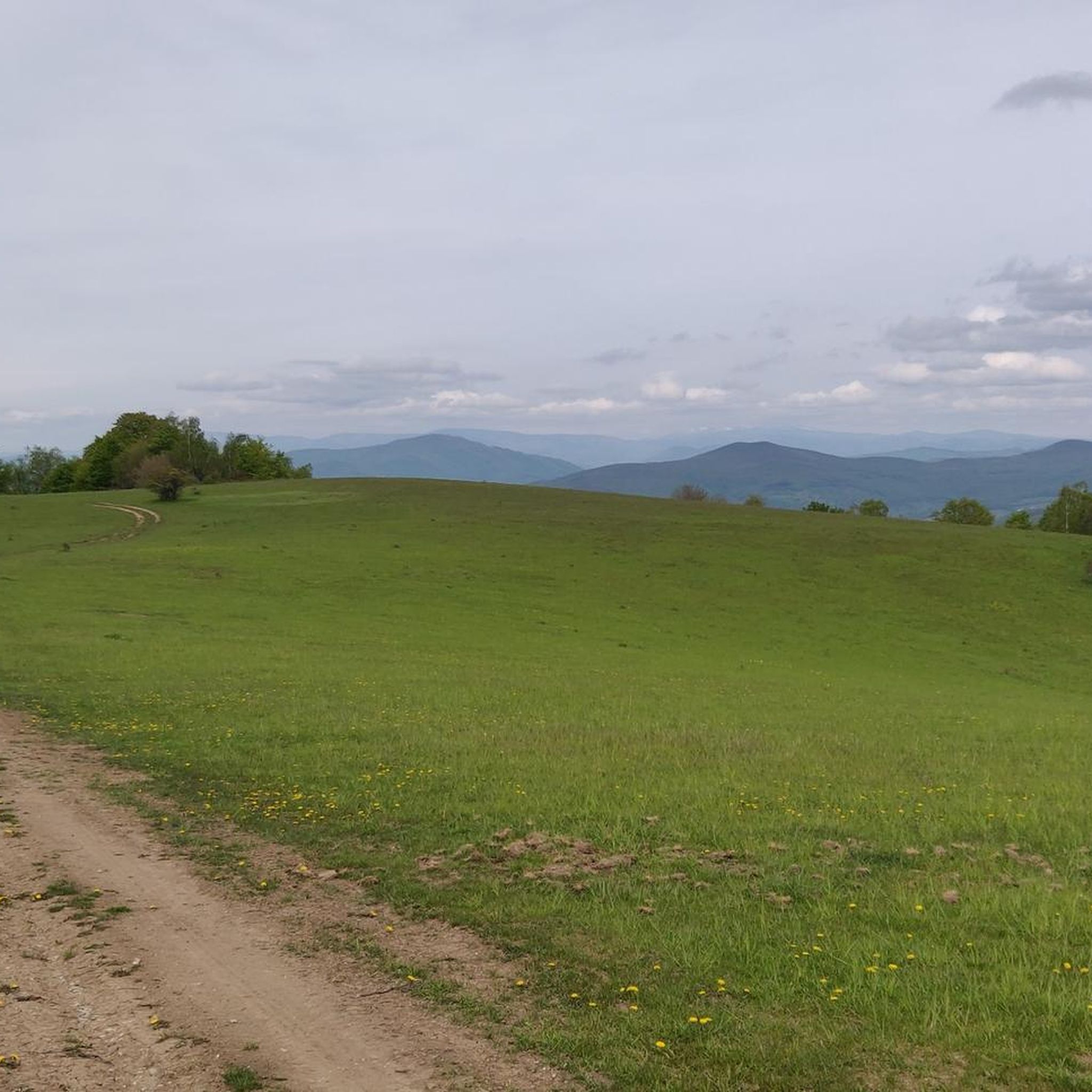
Road Cycling Routes in Grottes Du Karst D'Aggtelek Et Du Karst De Slovaquie
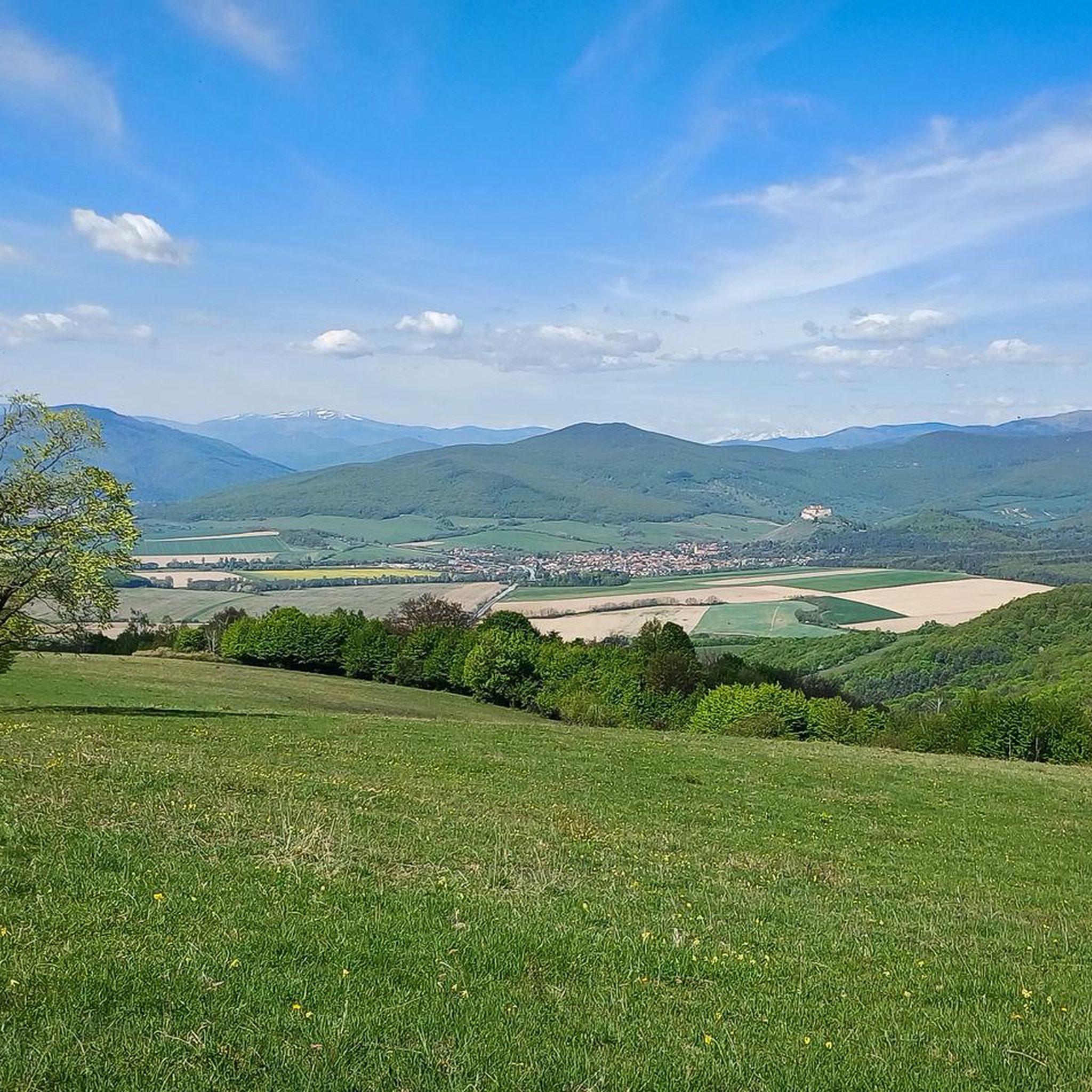
MTB Trails in Grottes Du Karst D'Aggtelek Et Du Karst De Slovaquie
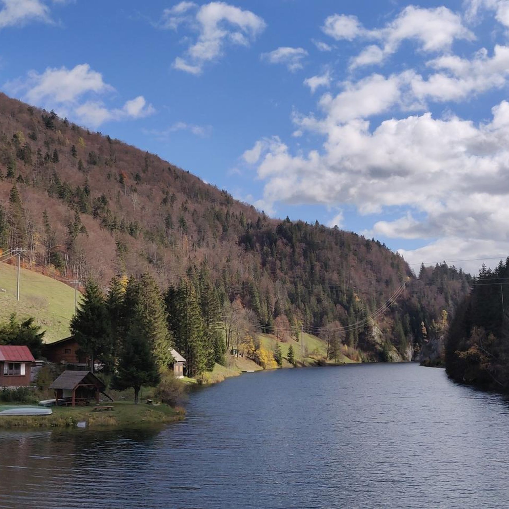
Running Trails in Grottes Du Karst D'Aggtelek Et Du Karst De Slovaquie

Mountain Hikes in Grottes Du Karst D'Aggtelek Et Du Karst De Slovaquie
Tips from the Community

One of the central points of the village. Right in front of the Hucul-herds base is a small lake where two lakes join together and continue as one.
0
0

The rock walls fall perpendicularly into the Zádielská valley and thus create an amazing, breath-taking panorama that is not easily found elsewhere. You can enjoy the enchanting view of the Zádiel valley, the rock tower Cukrová homoľa and the picturesque village of Zádiel. The educational trail Horné lúky or Zádielska tisňava passes through the location.
7
0
The length of the gorge is 2,200 m, the depth is 300 m and the narrowest point on the bottom is only 10 m wide. It is deeply cut into the white limestone of the karst plains of the Slovak Karst, in places more than 400 m deep. At its narrowest sections there is hardly room for an old asphalt road on its bottom. The adornment of the gorge is a remarkable rock formation 105 meters high, which was given the significant name of Cukrová homoľa (Sugar Loaf) because of its characteristic narrow shape.
7
0
Path along and in a frequently dried up stream
0
0

Frequently Asked Questions
What kind of terrain can I expect when hiking in Grottes Du Karst D'Aggtelek Et Du Karst De Slovaquie?
The region is characterized by extensive karst plains and plateaus, ranging from 400 to 900 meters above sea level. You'll encounter diverse terrain, including deep canyons, valleys, and gorges. Surface karst phenomena like dolines, uvalas, and conical hills are common. Trails vary from easy, flat paths to more challenging, rocky sections, often through oak-hornbeam, oak, and beech forests.
Are there any easy hiking trails suitable for beginners or families?
Yes, the area offers trails for various fitness levels. While many routes are moderate, there are options suitable for beginners. For instance, the region features nine designated nature trails within Aggtelek National Park, which provide insights into the local geology, hydrology, flora, and fauna, and often include easier sections. Overall, there is 1 easy route out of 20 total tours in the area.
What natural features or landmarks can I see along the hiking trails?
Hikers can explore a wealth of natural features. The dramatic Zadiel Gorge is a prominent feature with breathtaking views. You might also encounter picturesque waterfalls, such as the Hajske waterfalls. The region is famous for its extensive cave systems, including the Baradla-Domica cave system, and you can visit the Baradla Cave Red Lake Entrance. For stunning vistas, consider viewpoints like Na Skale (670 m).
Are there any circular hiking routes available?
Yes, many trails in the region are designed as loops. A popular moderate circular route is the Mountain Club Zádiel – Zádiel Gorge loop from Zádiel, which is 6.2 miles (10.0 km) long. Another option is the Baradla Cave – Baradla-tető Lookout Point loop from Aggtelek, a 4.3 miles (7.0 km) moderate path leading to a lookout point.
What is the best time of year to go hiking in Grottes Du Karst D'Aggtelek Et Du Karst De Slovaquie?
The region offers hiking opportunities throughout much of the year. Spring and autumn generally provide pleasant temperatures and vibrant scenery, with diverse flora and fauna. Summer is also popular, though it can be warmer. Some caves, like the Dobšinská Ice Cave, offer unique experiences even in warmer months due to their permanent ice formations. Winter hiking is possible, but some trails may be more challenging due to snow and ice, especially in higher elevations or within the gorges.
Can I bring my dog on the hiking trails?
While the region is rich in natural beauty, specific regulations regarding dogs on trails can vary within national park areas and protected zones, especially near sensitive cave entrances or wildlife habitats. It's always best to check with local park authorities for the most current rules on dog access to ensure a pleasant and compliant hike for you and your pet.
Are there opportunities to see wildlife or unique plant species?
Absolutely. The diverse forests, including oak-hornbeam, oak, and beech, support a high biodiversity of flora and fauna, making it one of the botanically richest areas in Central Europe. You might spot wildlife such as grey wolves, Eurasian lynx, red deer, and wild boar. It's also an excellent spot for birdwatching, offering a chance to observe various bird species in their natural habitat.
What are the typical elevation changes on trails in this region?
The region features karst plains and plateaus with elevations ranging from 400 to 900 meters above sea level. Trails can involve significant elevation changes, especially when traversing deep canyons and gorges. For example, the Movie Angel Statue in Háj – View of Castle Ruins loop from Turňa nad Bodvou has an elevation gain of over 500 meters, while the Zádiel Gorge Viewpoint loop from Zádiel involves around 360 meters of ascent.
How do other hikers rate the trails in Grottes Du Karst D'Aggtelek Et Du Karst De Slovaquie?
The routes in Grottes Du Karst D'Aggtelek Et Du Karst De Slovaquie are highly rated by the komoot community, with an average score of 4.6 stars from over 700 reviews. Hikers often praise the unique karst landscapes, the dramatic gorges, and the well-marked trails that allow for exploration of both surface and subterranean natural wonders.
Is public transport available to reach hiking trailheads?
While specific public transport options directly to all trailheads might be limited in some remote areas, major towns and villages near the national park boundaries often have bus connections. For reaching specific starting points, especially for trails deep within the park, it's advisable to research local bus schedules or consider driving and utilizing designated parking areas.
Are there any historical sites or ruins to explore while hiking?
Yes, beyond the natural wonders, you can discover historical elements. For instance, the Pálos Monastery Ruins offer a glimpse into the region's past. Additionally, the Turniansky Hrad (Turna Castle Ruins) provides another interesting historical landmark that can be incorporated into a hike, offering both cultural and scenic rewards.
What are the main geological features that make this region unique for hiking?
The region is a UNESCO World Heritage site due to its exceptional karst landscapes. Hikers will encounter various surface karst phenomena such as karren fields, dolines (karst pits), uvalas, and blind valleys. Below ground, there are over 1,000 caves, showcasing a remarkable diversity of formations, including deep vertical abysses. This unique geology results from millions of years of tropical and glacial climatic effects.
Most popular routes in Grottes Du Karst D'Aggtelek Et Du Karst De Slovaquie
Most popular attractions in Grottes Du Karst D'Aggtelek Et Du Karst De Slovaquie

Get inspired with the komoot mobile app


Explore more
Browse the best Hikes in other regions.
