The best MTB trails around Parkstetten
4.5
(966)
3,391
riders
14
rides
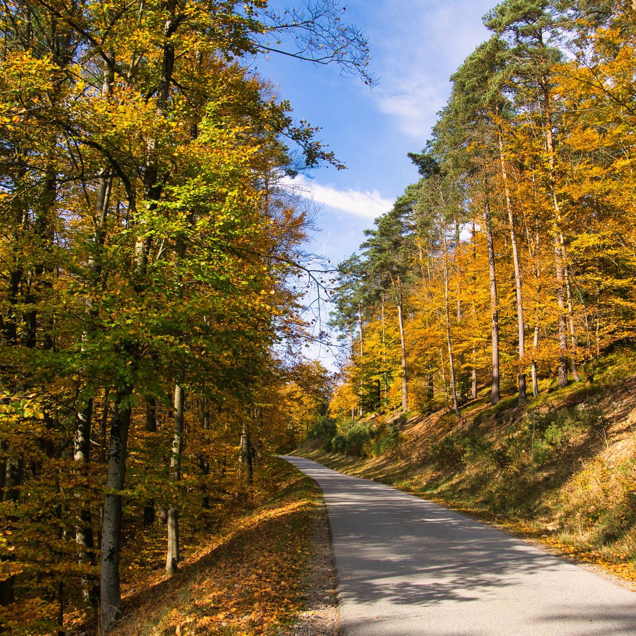
Mountain bike trails around Parkstetten are set against a backdrop of rolling hills, dense forests, and picturesque riverside landscapes. Situated at the foot of the Bavarian Forest and bordered by the Danube River, the region offers diverse terrain for two-wheeled adventures. This geographical location provides a mix of challenging climbs and descents typical of forested, hilly environments, alongside flatter paths along the river.
Best mountain bike trails around Parkstetten
- The most popular mountain bike trail is Root Trail Along Perlbach,…
Last updated: September 30, 2026
4.0
(3)
8
riders
Moderate mountain bike ride. Good fitness required. Suitable for all skill levels.
4.0
(2)
7
riders
39.8km
02:48
420m
420m
Moderate mountain bike ride. Good fitness required. Suitable for all skill levels.

4.0
(3)
7
riders
Moderate mountain bike ride. Great for any fitness level. Advanced riding skills necessary.
4.4
(7)
17
riders
Moderate mountain bike ride. Good fitness required. Advanced riding skills necessary.
4.0
(2)
12
riders
Moderate mountain bike ride. Good fitness required. Suitable for all skill levels.
Get access to more routes and recommendations from other explorers.
Already have an account?
Our route recommendations are based on thousands of hikes, rides, and runs completed by other people on komoot.
Start today with a free account
Your next adventure awaits.
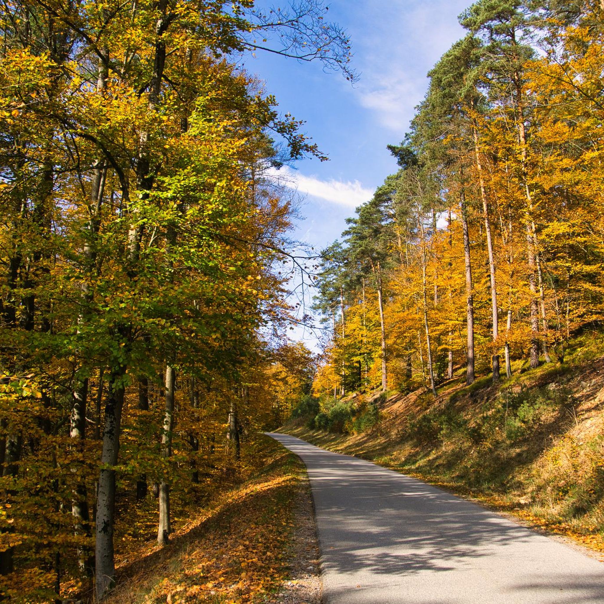
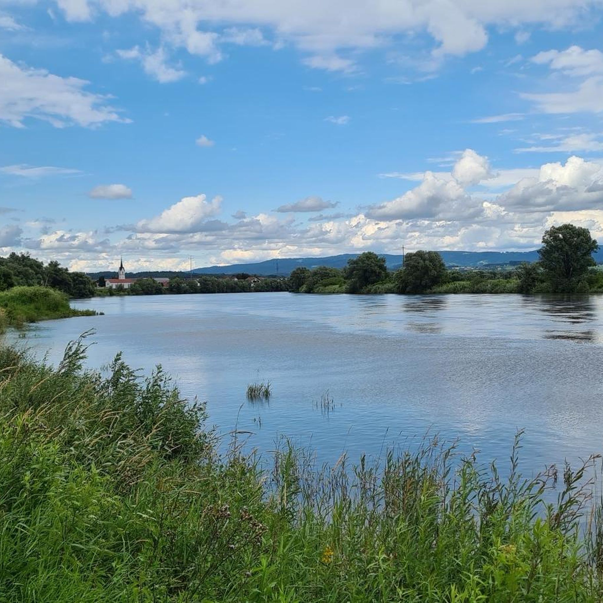
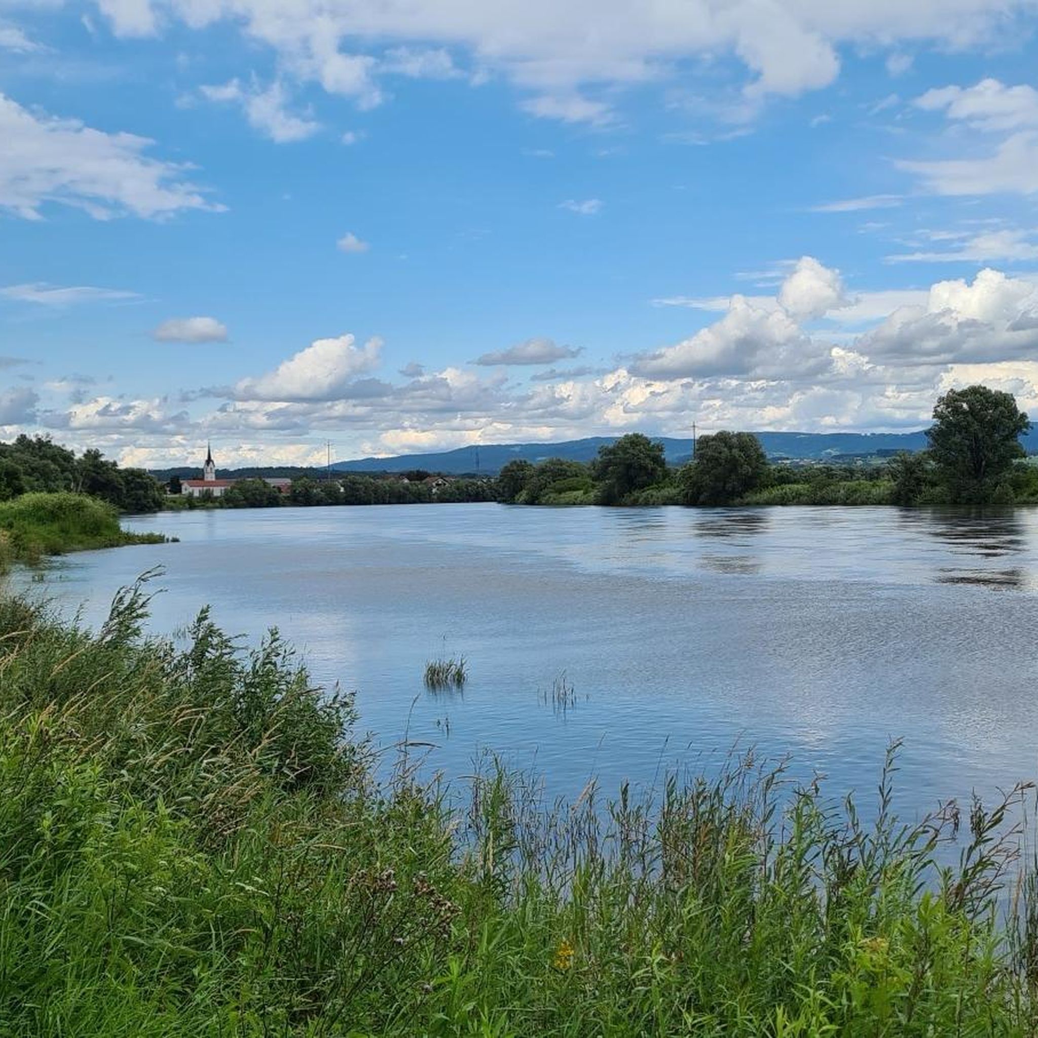
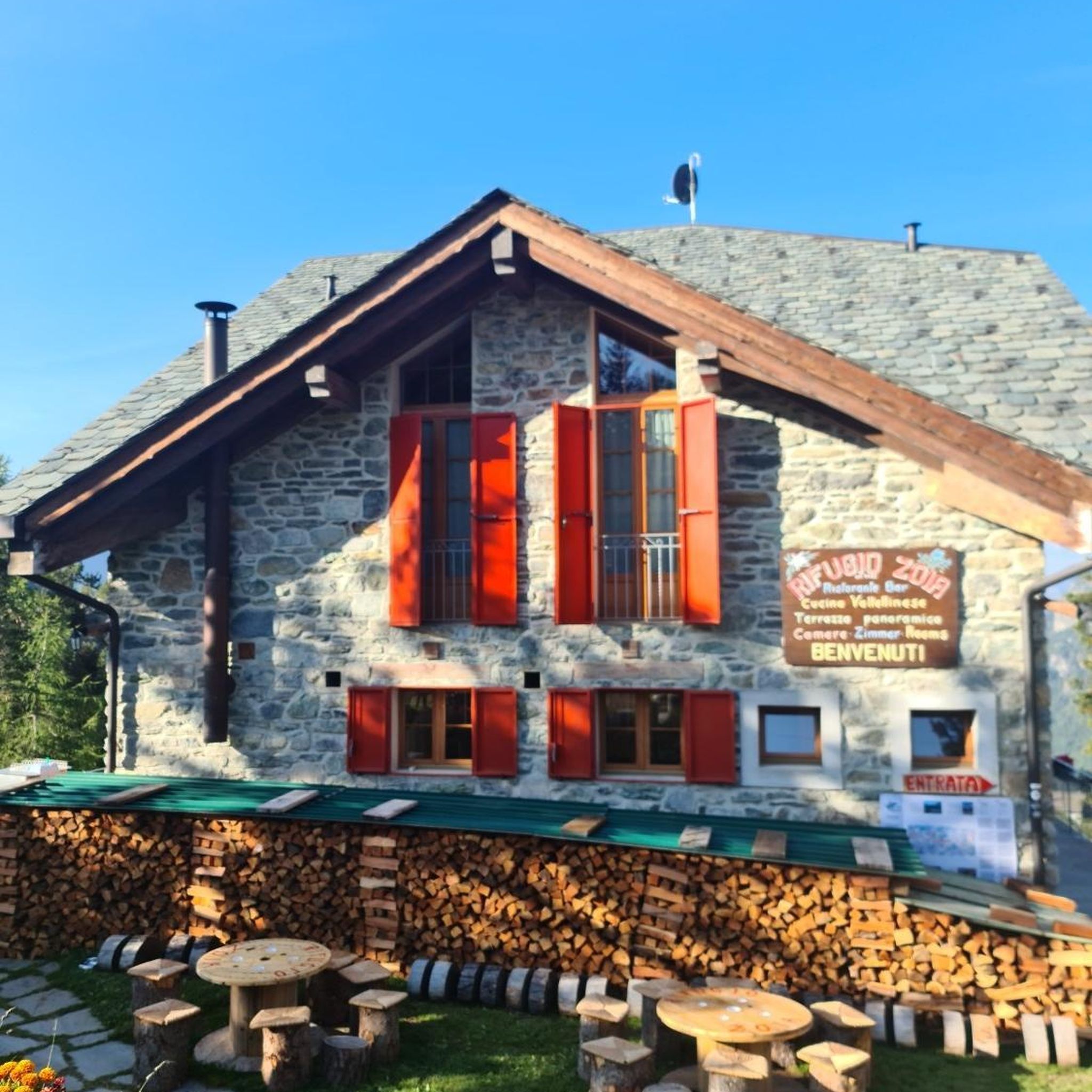
Tips from the Community

Windmill ruin Around 1850, the Steinach estate owner Eduard Freiherr von Berchem-Königsfeld, known as a friend of Holland, had a tower windmill built in the Dutch style on the vineyard (now Kellerberg). In contrast to the German "Bockwindmühle" (post mill), only the roof, designed as a cap, is rotatable on a Dutch tower windmill. The rotation is made possible by means of an iron ring gear, on which the cap rests. The millstones and auxiliary equipment were set in motion by gears. The conical round tower has an internal diameter of 7 meters on the ground floor, and the wall thickness is 1.20 meters at the base of the tower. This type of mill was untypical in this region, where watermills predominated. Apparently, the mill did not yield the desired profit, as the operation of the windmill failed due to the local wind currents. Steinach pastor Josef Aschenbrenner writes in his chronicle: "The windmill was still in operation around 1860. One day, a miller's child was caught by the transmission and crushed. From that day on, the mill was no longer operated and fell into disrepair." After the mill was shut down, Eduard von Berchem-Königsfeld had the windmill hill redesigned into the stately Steinach summer cellar. In 1860, a beer cellar was dug into the original vineyard, and a so-called cellar house was built over the entrance, which was also operated as a restaurant in the summer. The large beer cellar also served as storage for the beer from the Berchem brewery in Schloß Steinach. After the summer cellar was abandoned around 1920, the old cellar house was used as a residential building until it burned down around 1956. In the still existing summer cellar, the children of Steinach often played, and many bats also resided there. The Steinach estate administration decided around 1957 to have the cellar blown up. This was carried out by the pioneers of the Bogen barracks. The rear part of the cellar, which has an air shaft, probably did not collapse, as the usual terrain depression is not found there. For a long time, one could look down into the non-collapsed part of the cellar through the air shaft. This air shaft was a dangerous hole. Therefore, a large concrete cover was later placed over the opening. What remains is the ruin of the windmill. Source: Excerpts from https://heimatgeschichte-steinach.de/gewerbe/muehlen/windmuehle-steinach.html
5
0


Quiet and peaceful - if the frogs aren't croaking.
0
0

The Straubing Lock was built in 1993 as part of the Straubing Weir project to ensure the navigability of the Danube. The lock chamber is located at Danube kilometer 2322.02. With a chamber length of 264 m, it has a usable length of 230 m and a usable width of 24 m. The lock chamber is constructed of concrete and is closed at both the upper and lower gates by a double-leaf mitre gate. Each mitre gate weighs 83 t. The 14-meter-high and 12-meter-wide steel gates rest on a spherical bearing. The chamber is filled and emptied via bypass channels, each with two bypass gates at the upper and lower gates. The chamber fills in 20 minutes with a lock water volume of 44,000 m³. A lockage takes 25 minutes. The lock has a total capacity of 73,000 m³. [1] The level of the upper edge of the lock platform is 321.5 m above sea level (NN), and the level of the lower lock sill is 308.7 m above sea level (NN). For maintenance and repair work on the gates and closures, the lock is equipped with a gantry crane with a lifting capacity of 100 tons, which can be moved along the entire length of the lock. At the associated weir of the Straubing power plant, the design impoundment level is 320 m above sea level (NN). The water level of the lower lock basin is 313.75 m above sea level (NN) at mean water level (MTF) and 312.32 m above sea level (NN) at regulated low water level (RNW). The corresponding head is 6.25 meters at MTF and 7.68 meters at MTW. An information panel at the facility states the lock head as 6.21 m. The lock is remotely controlled from the WSV control center in Regensburg. This control center also remotely operates the Geisling, Regensburg, and Bad Abbach locks. Originally, the Straubing lock was operated from the lock tower on site. Immediately below the lower lock gate, the Kagers Bridge crosses the Alte Donau lock canal. The Danube's kilometer markers show a discrepancy of 7.9 kilometers at the Straubing lock. Therefore, both kilometer markers 2330 and 2322 are present at the lock basin. Source: https://de.wikipedia.org/wiki/Schleuse_Straubing
1
0

You should walk the trail between the campsite and the Talmühle mill. This is the only way to enjoy nature. Riding bikes will disturb hikers, the untouched nature, and the wildlife. Crossing the stream is an absolute no-go. There are bridges for that. Please use your trails! Thank you.
0
0


Have fun or cross the bridge? What do you choose?
0
0
Frequently Asked Questions
How many mountain bike trails are there around Parkstetten?
Parkstetten offers a wide selection of mountain bike trails, with over 460 routes available. These range from easy rides to more challenging paths, catering to various skill levels.
What are the typical difficulty levels for mountain bike trails in Parkstetten?
The trails around Parkstetten offer a mix of difficulties. You'll find approximately 140 easy routes, nearly 300 moderate routes, and around 30 difficult trails. This variety ensures options for beginners, intermediate riders, and experienced mountain bikers seeking a challenge.
Are there any family-friendly mountain bike trails in Parkstetten?
Yes, Parkstetten has family-friendly options, particularly among its easy trails. These routes often feature gentler terrain and less elevation gain, making them suitable for families. For example, the Dexenholz Root Classic Trail – Neurother Stream Crossing loop from Parkstetten is an easy 25 km route that could be suitable for a family outing.
When is the best time of year to go mountain biking in Parkstetten?
The best time for mountain biking in Parkstetten is typically from spring through autumn. During these seasons, the weather is generally mild, and the trails through the Bavarian Forest and along the Danube are most enjoyable. Winter mountain biking is possible, but conditions can be challenging due to snow and ice.
Are there circular mountain bike trails available in Parkstetten?
Yes, many mountain bike trails in Parkstetten are designed as circular routes, allowing you to start and end at the same point. A popular moderate circular route is the Gallner Summit (Goina Summit) – St. Sixtus Church on the Gallner loop from Parkstetten, which offers significant elevation gain and expansive views.
What kind of scenery can I expect on the mountain bike trails around Parkstetten?
Mountain bike trails in Parkstetten offer diverse scenery. You'll ride through dense woodlands of the Bavarian Forest, experience rolling hills, and enjoy picturesque riverside landscapes along the Danube. Many routes provide a mix of shaded forest paths and open views.
Are there any interesting landmarks or attractions along the mountain bike routes?
Yes, several routes pass by or near interesting landmarks. For instance, the Pilgrimage Church of St. John – Falkenfels Castle loop from Münster takes you through varied landscapes and near historical sites. You can also find highlights like Straubing Market Square or Bogen Old Town in the vicinity, which can be incorporated into longer rides.
What do other mountain bikers enjoy most about the trails in Parkstetten?
The mountain bike trails in Parkstetten are highly rated by the komoot community, with an average score of 4.5 stars from over 770 reviews. Riders often praise the diverse terrain, from challenging forest climbs to scenic riverside paths, and the well-maintained network that offers options for all skill levels.
Are there mountain bike trails that offer refreshment stops or cafes along the way?
While specific cafes on every trail aren't guaranteed, many routes pass through or near villages and towns where you can find refreshment options. Planning your route with komoot allows you to identify points of interest, including potential stops, along your chosen path.
Is parking available for mountain bikers in Parkstetten?
Yes, Parkstetten and its surrounding areas typically offer parking facilities, especially at common starting points for outdoor activities. It's advisable to check specific route descriptions or local signage for designated parking areas near your chosen trailheads.
Can I reach the mountain bike trails in Parkstetten using public transport?
Parkstetten is generally accessible by public transport, and some trailheads may be reachable via local bus services. For routes starting further afield, you might need to combine public transport with a short ride to the trailhead. Checking local transport schedules and route starting points on komoot can help plan your journey.
Are there any less crowded mountain bike trails around Parkstetten?
While popular routes like the Root Trail Along Perlbach, Bavarian Forest Nature Park – St. Michael's Church, Reibersdorf loop from Reibersdorf can see more traffic, Parkstetten's extensive network of over 460 trails means there are many less frequented options. Exploring some of the moderate or difficult trails, or riding during off-peak hours, can lead you to quieter paths through the forests and hills.
Most popular routes around Parkstetten
Most popular attractions around Parkstetten

Get inspired with the komoot mobile app


Explore more
Browse the best MTB trails in other regions.
